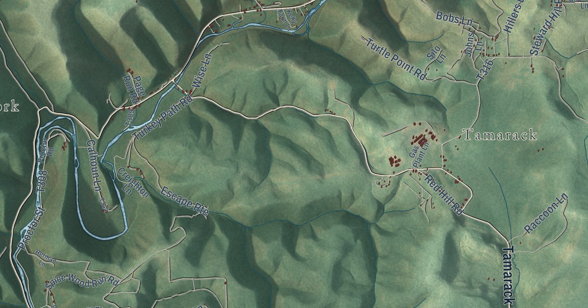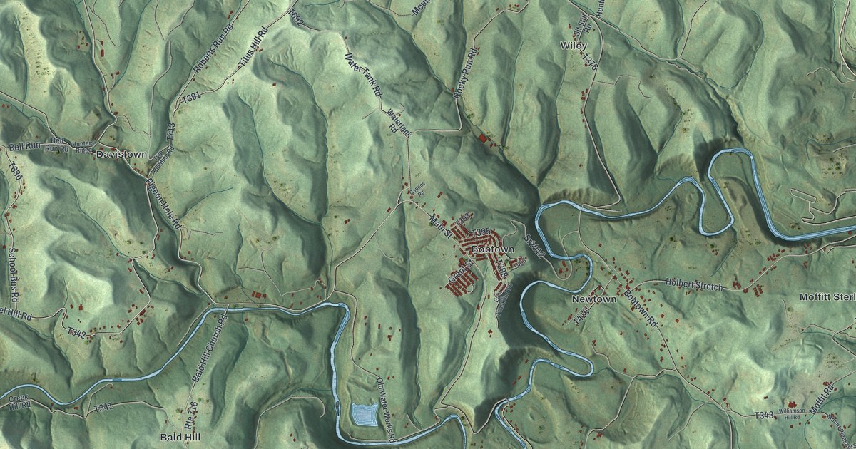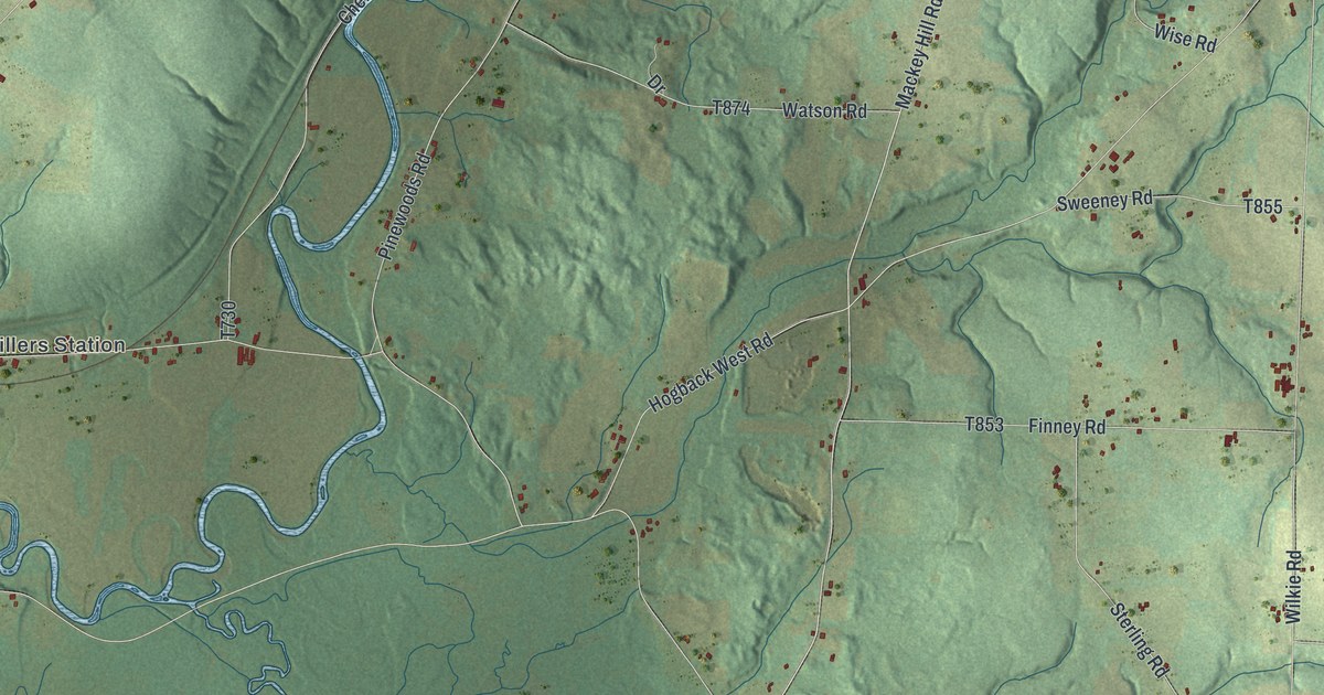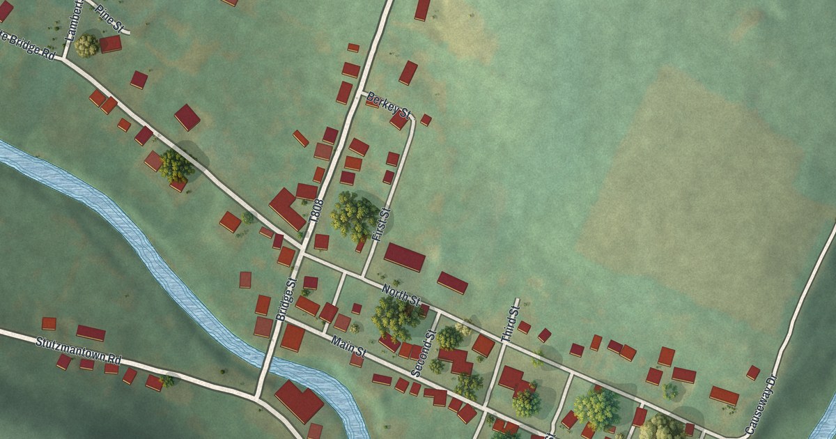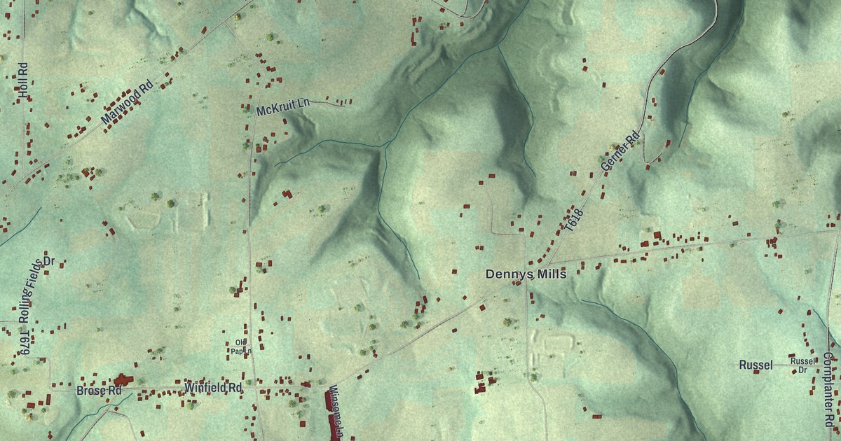
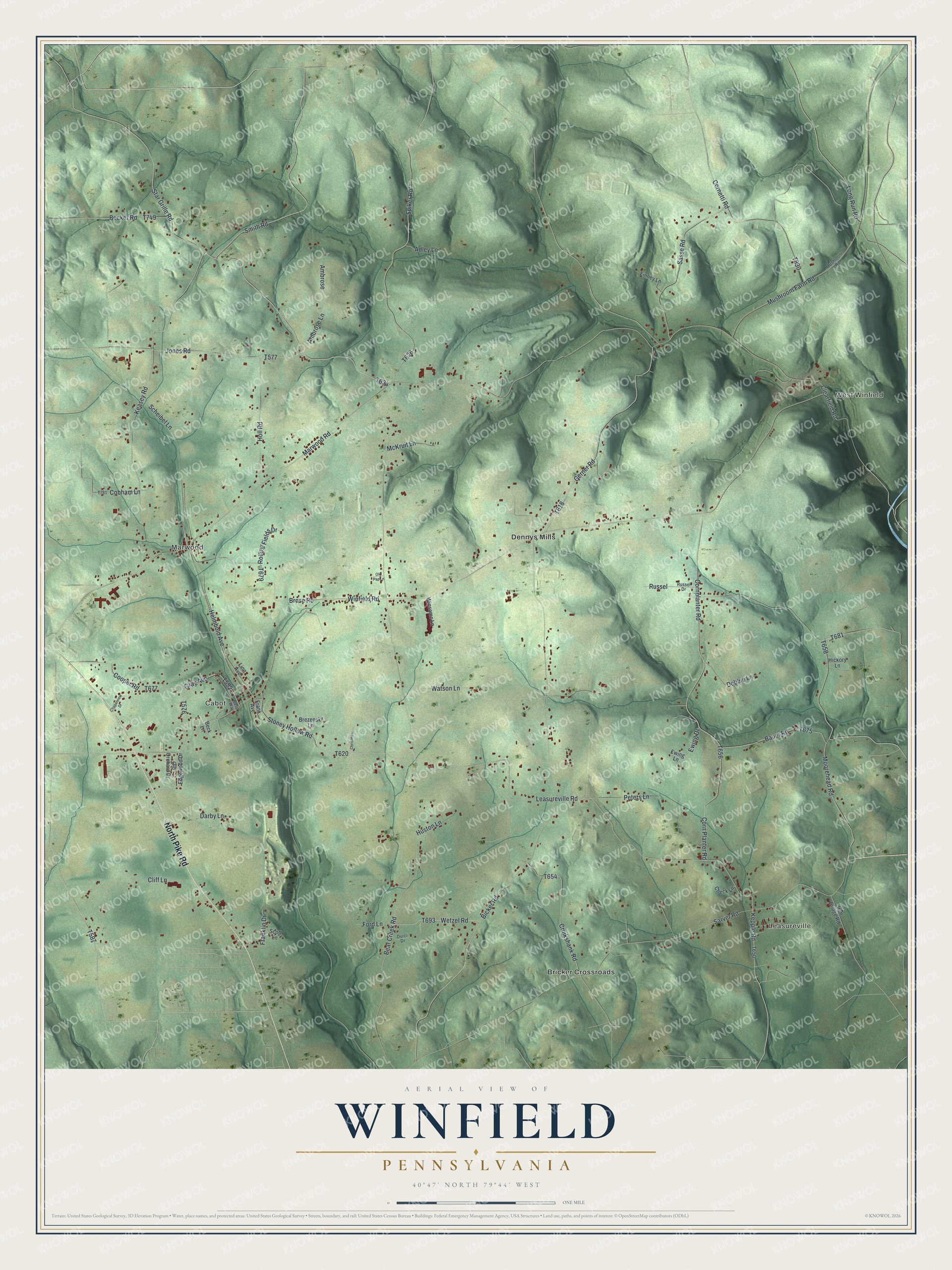
This beautifully detailed map of Winfield, Pennsylvania was created in 2026 using aerial imagery combined with modern topographical, census, street and landmark data. It’s a one-of-a-kind view of Winfield that combines accurate data with a vintage aesthetic. The map shows every building in its true location, many of the roads carry their names, and the shaded topographic relief shows the shape of the land.
Explore an aerial view of Winfield, Pennsylvania
On the map you’ll find Leasureville, West Winfield, Marwood, Cabot, Bricker Crossroads, and Dennys Mills, along with North Pike Road, Smith Road, Helmbold Avenue, Star Grille Road, Kepple Road, and more. If you look closely you can even find your house accurately drawn in its correct location. Zoom in on the preview to look for yours.
Did you know this piece of Winfield, Pennsylvania history?
Jeremiah Smith and his family came to Winfield Township in 1796, four years after leaving Ireland. They were its first settlers. In 1809 his son Jeremiah and son-in-law Caleb Jones built a grist mill at Melissadale. Eight years later Peter McLaughlin bought the mill and 500 acres for 1,000 pounds of gunpowder, worth a dollar a pound. That’s from the 1895 History of Butler County, Pennsylvania.
Take a closer look at the Winfield map
Street and place names on the Winfield, Pennsylvania map
These names are printed on the map of Winfield, Pennsylvania.
Places: Leasureville, West Winfield, Marwood, Cabot, Bricker Crossroads and Dennys Mills.
Streets and roads: North Pike Road, Smith Road, Helmbold Avenue, Star Grille Road, Kepple Road, Bicker Road, Leasureville Road, Corn Planter Road, Mushroom Farm Road, Winfield Road, Marwood Road, Bear Creek Road.
More street names, A to Z
Adley Lane, Ambrose, Ambrose Lane, Bauer Road, Becker Road, Beck Lane, Brezenski Lane, Brose Road, Chapelview Drive, Check Lane, Christmas, Clearfield Road, Cliff Lane, Cobham Lane, Cooper Road, Cornetti Road, Cornplanter Road, Cruikshank Road, Darby Lane, Debbie Lane, Durci Drive, Edgewood Drive, Ewing Drive, Ewing Lane, Finney Lane, Ford Lane, Frank Avenue, Franklin Drive, Gerner Road, Gray Avenue, Hickory Lane, Holl Road, Huston Lane, Iron Bridge Road, Jones Road, Keasey Road, Linn Avenue, Long Run Road, McKruit Lane, Moorehead Road, Mushroom Road, Old Orchard Drive, Old Pap Lane, Peters Lane, Rolling Fields Drive, Rose Way, Russel, Russel Drive, Sarver Road, Sasse Road, Scheibel Lane, Scott Lane, Spiker Road, Stoney Hollow Road, Watson Lane, Wetzel Road, Winsome Lane.
See the Winfield, Pennsylvania map on a wall
The Winfield map as an 18 x 24 inch print in a black frame.

This beautifully detailed map of Winfield makes an attractive addition to your office, library, or den, and it can even be used to teach children the geography and history of the area. It also makes a great gift for anyone with Winfield roots. When you’re done exploring, click here to get your copy of the Winfield map.