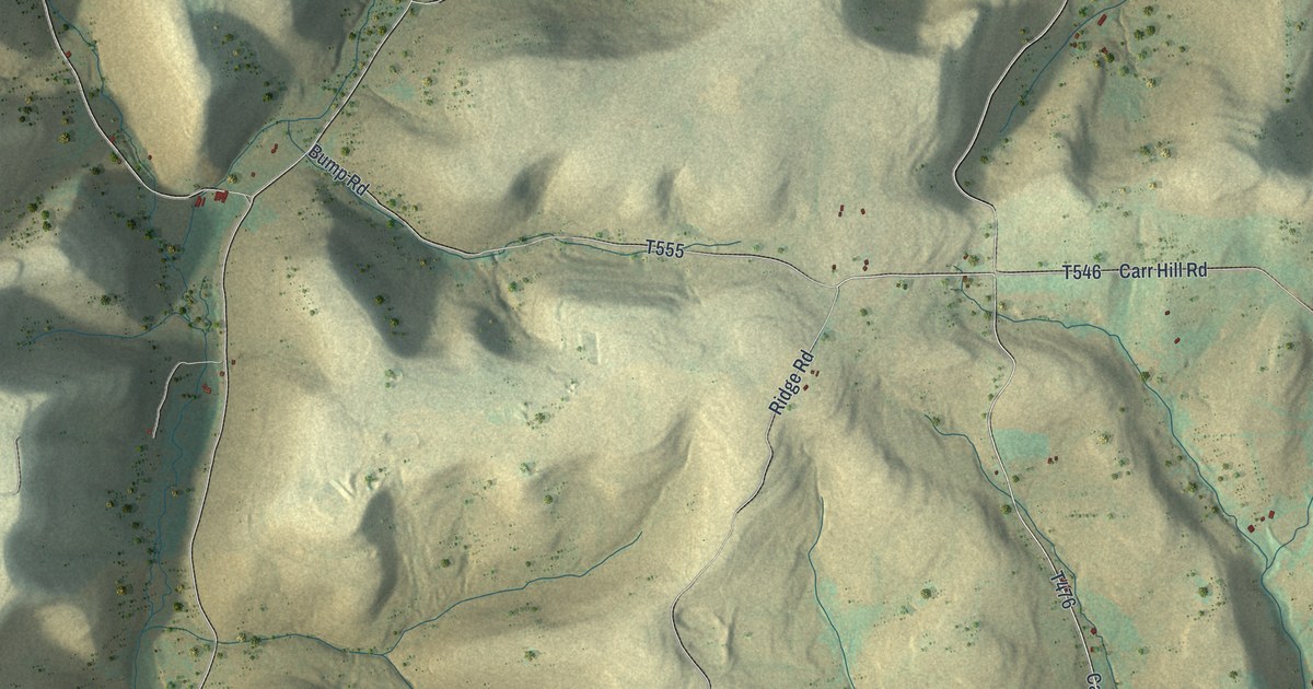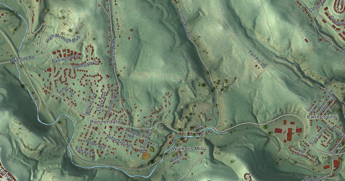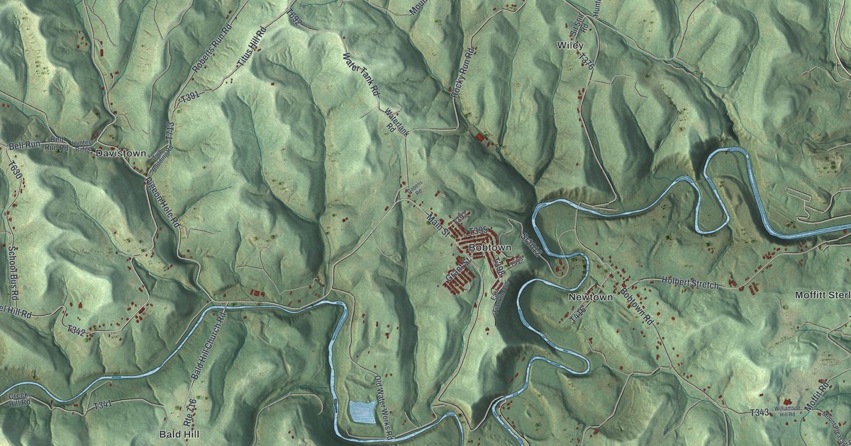
If you grew up in Bobtown or Davistown, or still have family along Dunkard Creek, this map has your valley on it. It's a modern aerial view of Dunkard Township in Greene County, Pennsylvania, made from modern data and given a vintage artistic feel. Dunkard Creek winds through the middle in tight loops, and the Monongahela River runs down the right side. Neither one is labeled, but you can't miss them. More than 4,000 buildings are drawn in red, with shaded green hills all around. Explore the print options for Dunkard.
Bobtown, Davistown and the roads along Dunkard Creek
Start at Bobtown, the thick cluster of red buildings near the middle of the sheet. Main Street runs through town, and the creek bends right around it. Across the creek to the east is Newtown. From there, Holbert Stretch heads east toward Moffitt Sterling, close to the river. A little farther south, Dilliner Hill Road runs up to Dilliner, and Walnut Hill sits down in the bottom right corner. Now go back west of Bobtown. Bald Hill Church Road runs south to Bald Hill. Pigeon Hole Road leaves it and heads west to Davistown. From Davistown, Bunner Hill Road climbs north past State Game Lands Number 223. Up top, Bobtown Road runs north past Wiley, where little Sit Still Road branches off. Many of the roads are labeled, and each red shape is a building, so zoom in on the preview and look for yours.
The 1888 History of Greene County says the valley of Dunkard Creek was the first part of the county to be settled. Wendell Brown, his two sons and Frederick Waltzer were living here as early as 1754. About the same time, Dr. Thomas Eckerlin and his two brothers made a home near the mouth of the creek. Their religion was called Dunkard, and the creek took its name from it. The township carries that name today.
The brothers later moved to a place called the Dunkard Bottoms, on the Cheat River in West Virginia. Their supplies ran out, so Thomas took a load of furs to Winchester to trade. On the way back, he was held at Fort Pleasant on suspicion of being a spy. He swore he was innocent, so the guards took him home to check. They found his cabin burned and his two brothers killed. The guards saw he'd told the truth, and they helped him bury his brothers. The book calls it the end of the first try at settling this valley.
The same book also describes the township in the 1880s. It says the Monongahela River was its east edge, and Mason and Dixon's line was its south edge. It called Davistown a thriving village in the middle of rich farm country. Taylortown, also called Fairview, sat on Dunkard Creek, and its post office went by the name Dunkard. In the earliest school report the book cites, the township had eight schools and 360 pupils. People crossed into Fayette County on Dilliner's upper and lower ferries. Taylortown isn't labeled on this map, but Taylortown Road is, running south from the middle of the sheet. Dilliner is printed near the river on the right, so look for it there.
For anyone from Bobtown, Davistown or Dilliner
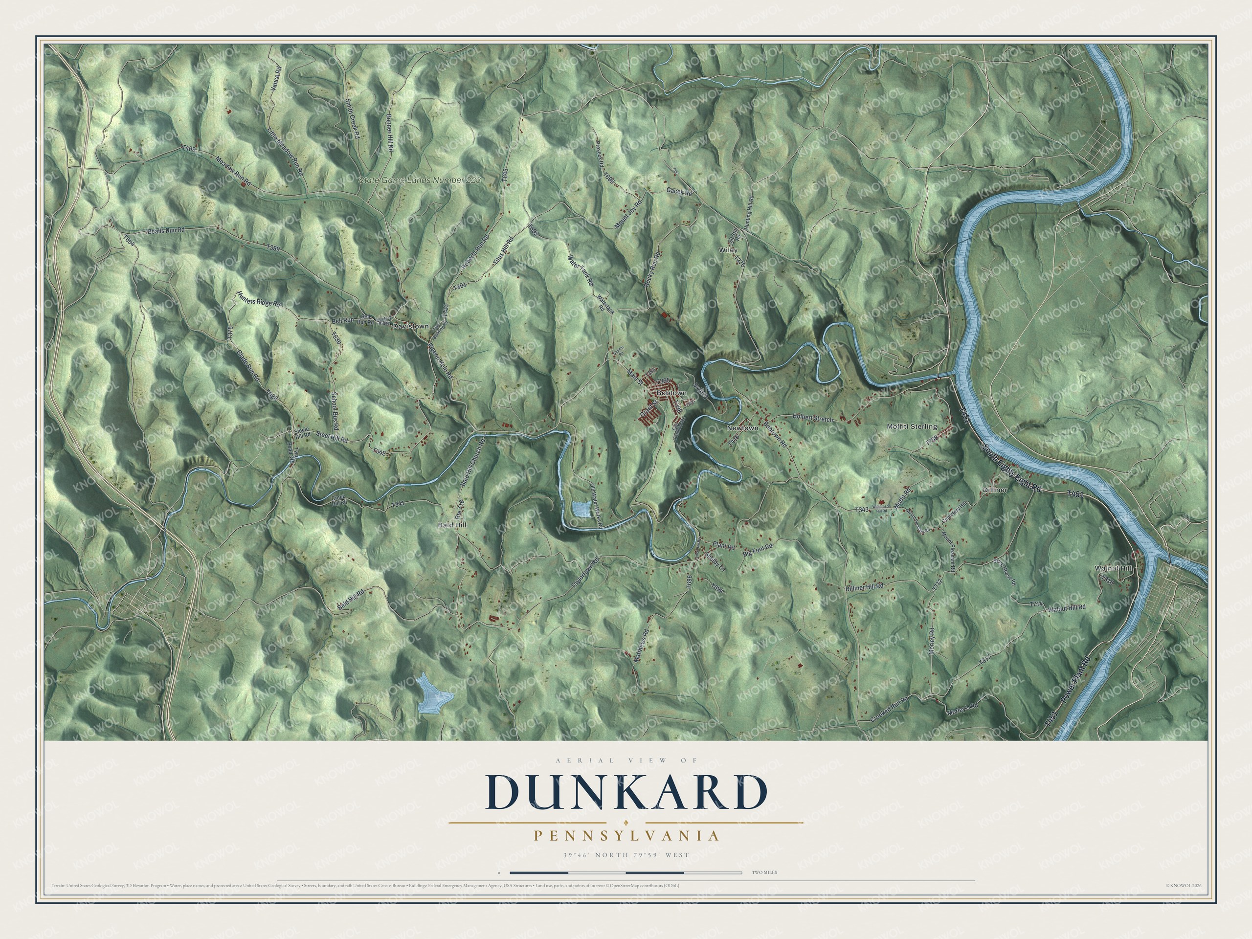
Created by KNOWOL in 2026, this Dunkard Township map shows shaded green hills, the blue bends of Dunkard Creek and the Monongahela, and red buildings from Davistown to Walnut Hill. The shaded hills come from USGS elevation data. The title panel reads "Aerial View of Dunkard, Pennsylvania," with the coordinates 39°46' North, 79°59' West and a two-mile scale bar.
It suits a den, a kitchen or a camp wall, anywhere someone can stop and trace a road home. It's a good gift for someone who grew up in Bobtown and moved away, or for a family with roots along Dunkard Creek. Open the watermarked preview, zoom in and find your road. Shop the Dunkard, Pennsylvania map.