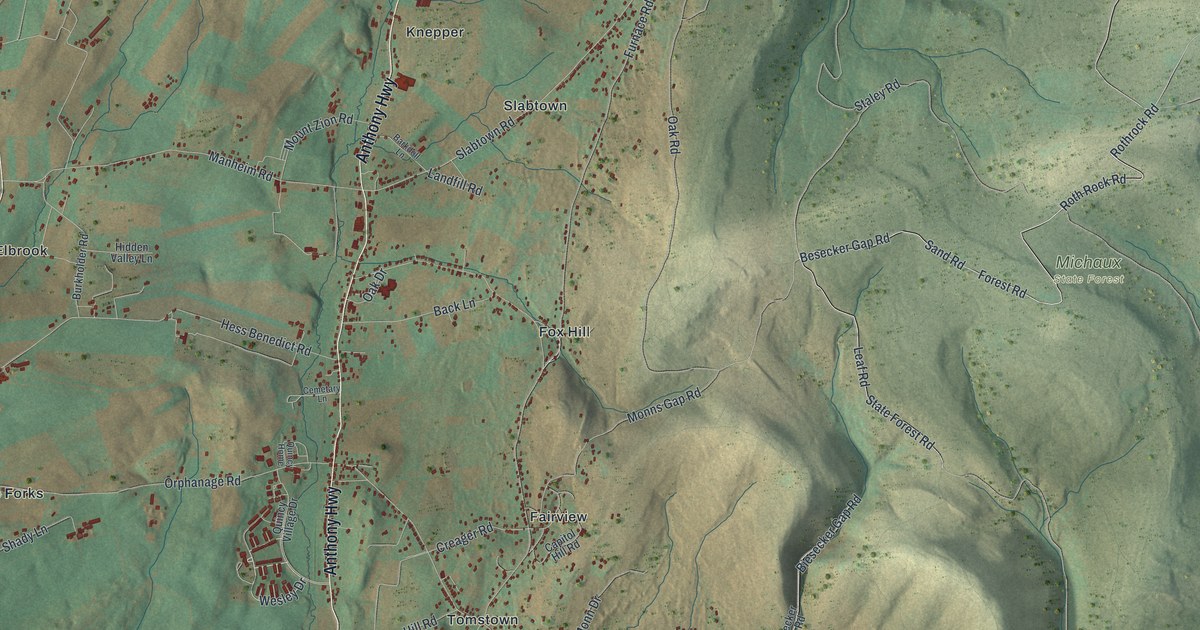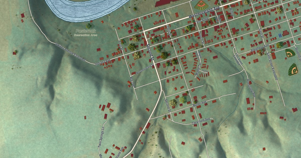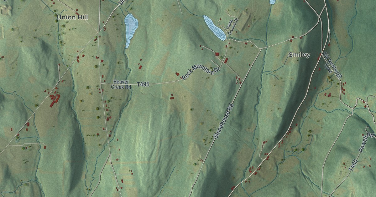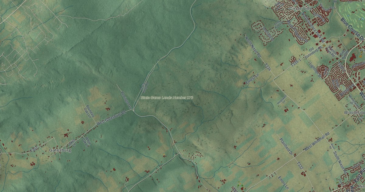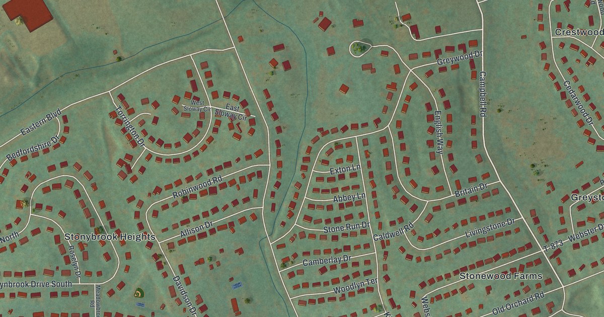
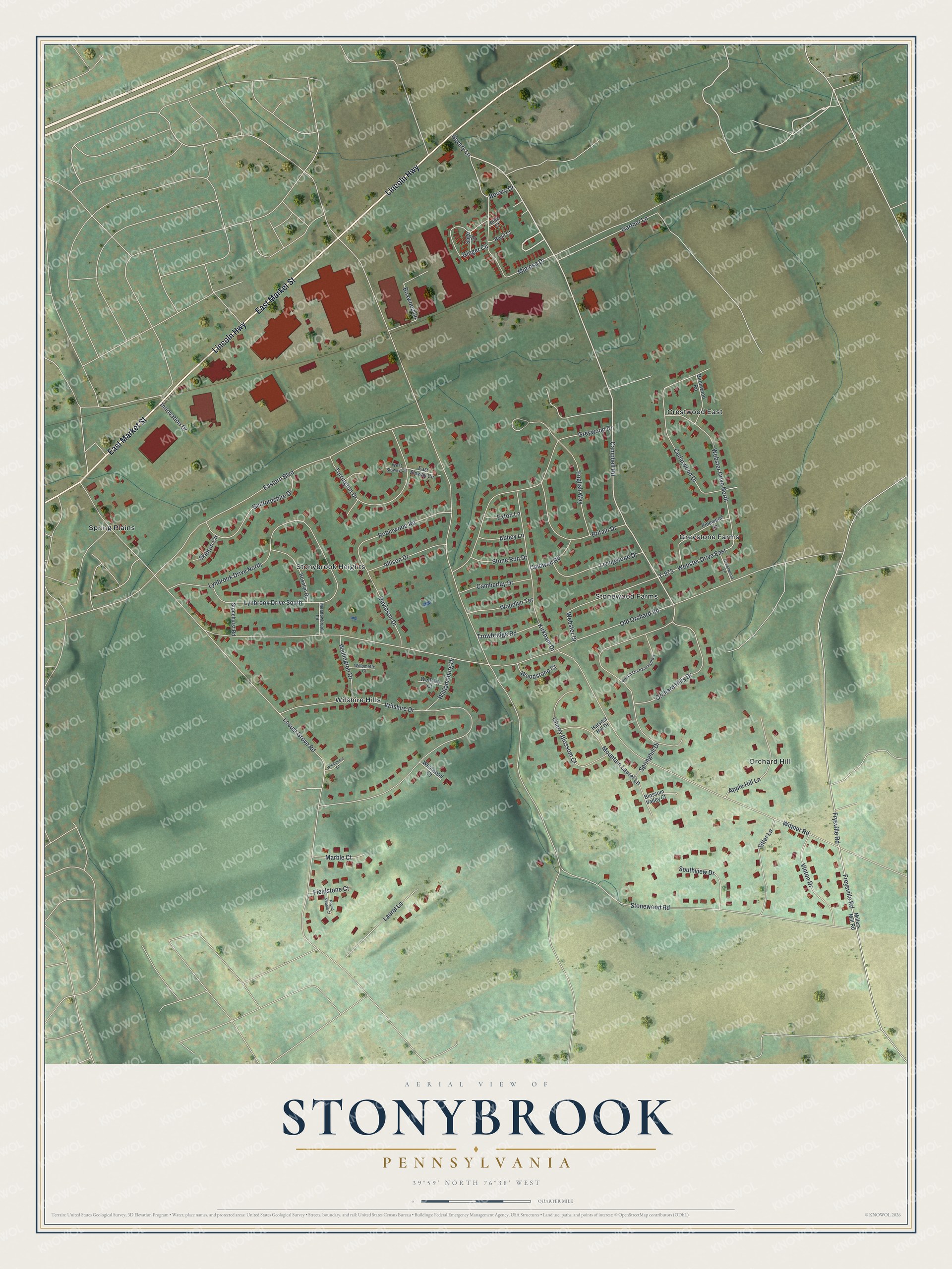
This beautifully detailed map of Stonybrook, Pennsylvania was created in 2026 using aerial imagery combined with modern topographical, census, street and landmark data. It's a modern aerial view of Stonybrook in York County, Pennsylvania, that combines modern data with a vintage aesthetic. The roads feature printed names, and if you look closely you can find your exact house accurately shown in its correct location.
Explore an aerial view of Stonybrook, Pennsylvania
On this map you'll find Stonewood Farms, Spring Plains, Crestwood East, Wilshire Hills, Orchard Hill, Stonybrook Heights, Greystone Farms, East Market Street, Lincoln Highway, Campbell Road, T-873, Stonewood Road, and more. Each red shape is a building, so zoom in on the preview and look for yours.
Stonybrook is a community in York County. The Census Bureau counted 3,281 people here in 2020. Stonybrook sits about 2 miles southwest of Hallam, 2 miles west of Yorkana and 3 miles east of East York. The map prints the town name in its title panel, with the coordinates below it.
Take a closer look at the Stonybrook map
Names on this map
These names are printed on this map.
Places: Stonewood Farms, Spring Plains, Crestwood East, Wilshire Hills, Orchard Hill, Stonybrook Heights and Greystone Farms.
Streets and roads: East Market Street, Lincoln Highway, Campbell Road, Webster Drive East, T-873, Stonewood Road, Old Orchard Road, Locust Grove Road, Wilshire Drive, Witmer Road, Eastern Boulevard, Lynbrook Drive North.
More street names, A to Z
Abbey Lane, Allison Drive, Aloe Court, Apple Hill Lane, Basil Court, Bedfordshire Drive, Birchwood Road, Blossom Valley Court, Bovary Drive, Bovary Lane, Boxwood Lane, Britain Drive, Caldwell Road, Camberlay Drive, Cedarwood Drive, Cherry Blossom Court, Crestwood Lane, Davidson Drive, East Sloway Circle, English Way, Exton Lane, Fieldstone Court, Freysville Road, Frysville Road, Gartner Lane, Ginger Circle, Greywood Drive, Harvest Hill Drive, Innovation Drive, Kirkham Drive, Laurel Lane, Livingstone Drive, Lynbrook Drive South, Marble Court, Meadowbrook Road, Millers Mill Road, Mimosa Drive, Mountain Laurel Lane, Orchard Hills Drive, Peach Orchard Hollow, Pinewood Lane, Robinwood Road, Roselyn Drive, Round Pebble Court, Sage Drive, Sitler Lane, Skipton Circle, Southview Drive, Springhill Drive, Stonehurst Road, Stone Run Drive, Torrington Drive, Trowbridge Road, Vinton Drive, Webster Drive, Webster Drive North, Wellington Drive, Wellsley Court, West Sloway Circle, Westwood Court, Williamsburg Drive, Willomette Court, Windemere Court, Woodlyn Terrace, Woodstone Court.
See it on a wall
The Stonybrook map as a framed print. Swipe for more.


Created by KNOWOL in 2026. The buildings are small red shapes, the roads carry their printed names, and shaded relief shows the shape of the land. The title panel reads "AERIAL VIEW OF STONYBROOK, PENNSYLVANIA" with 39°59' NORTH 76°38' WEST.
It suits a den, a classroom or a front hall, and it makes a gift for anyone with Stonybrook roots. Open the preview and find the block you know. See sizes and frames for the Stonybrook map.