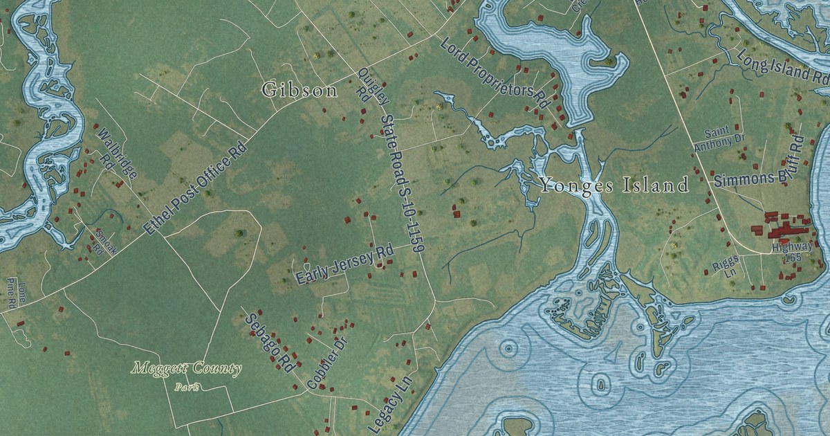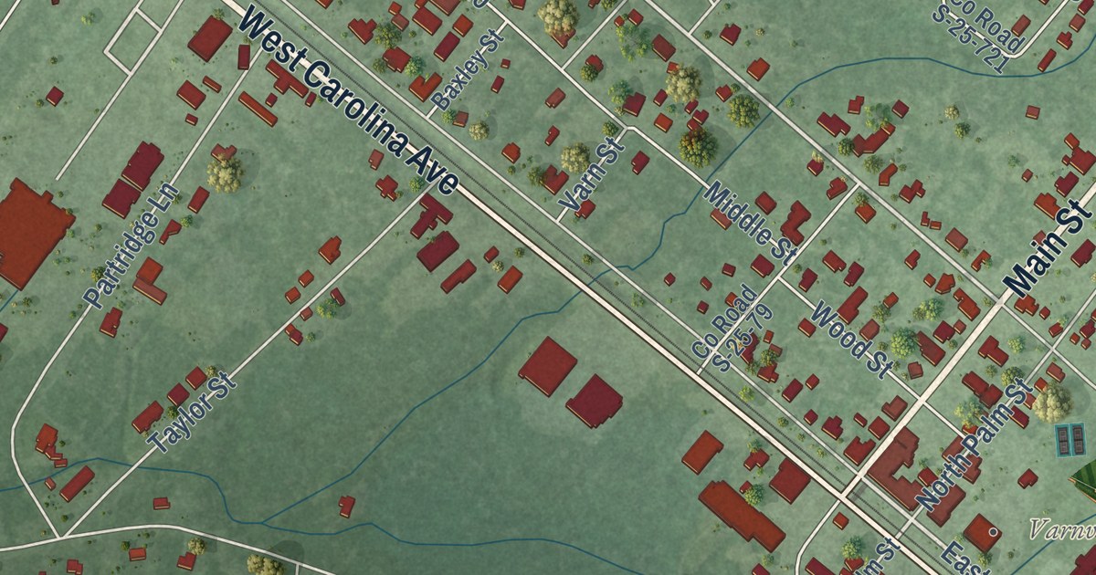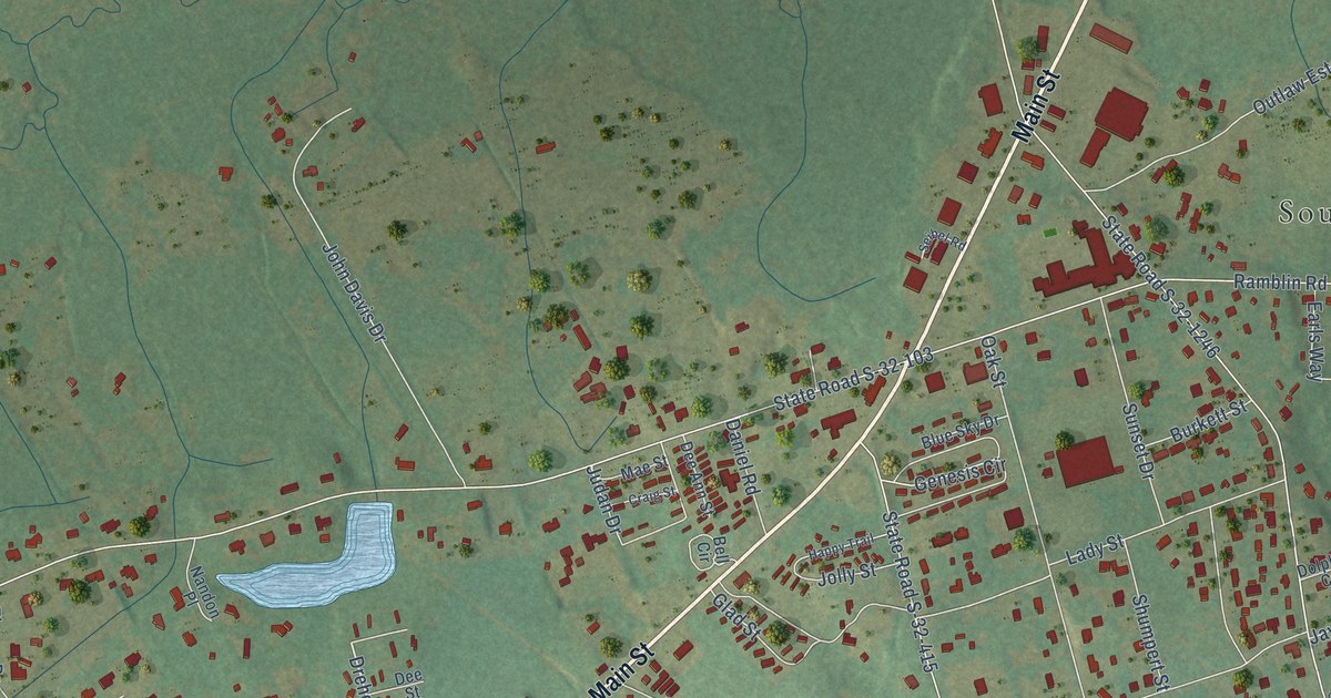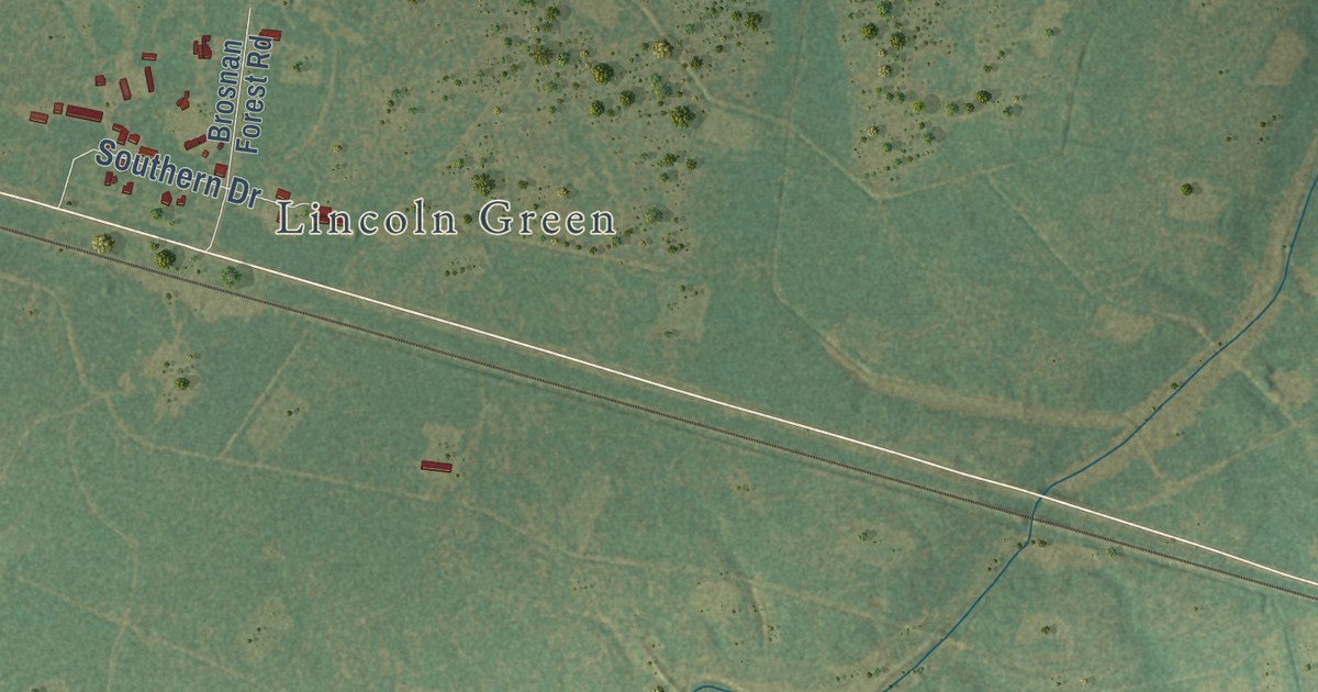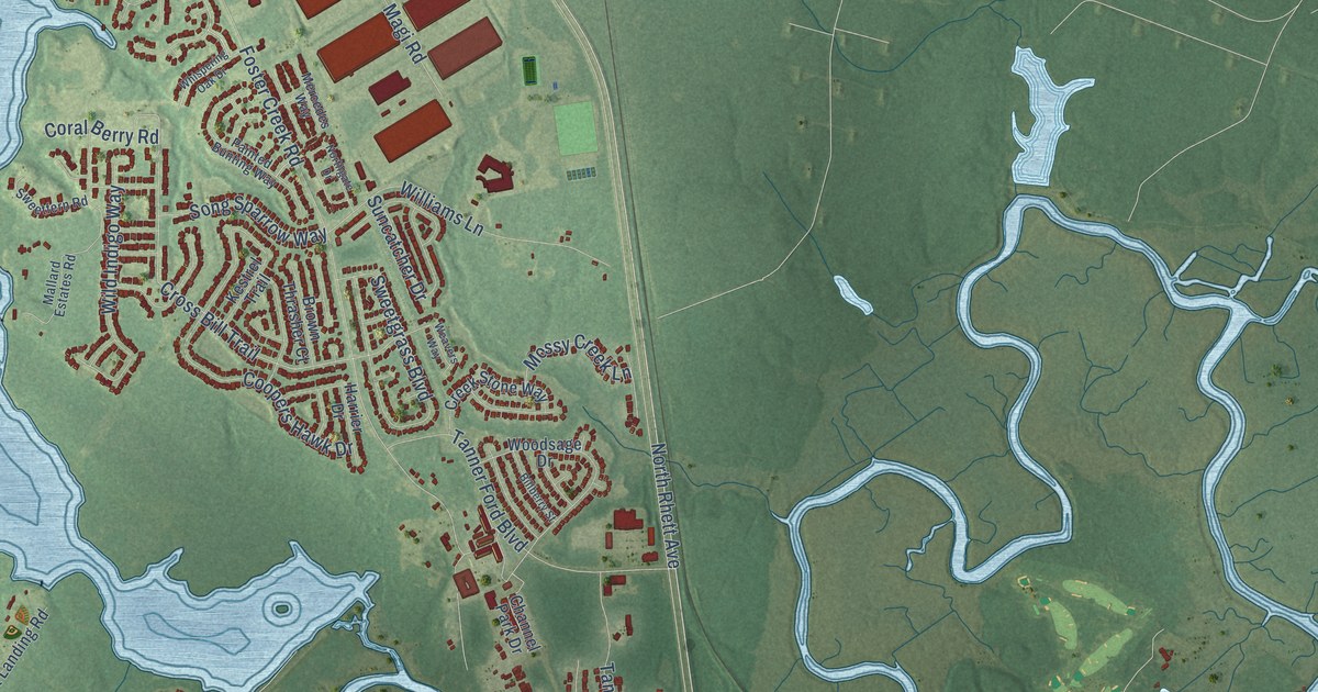
This beautifully detailed map of Hanahan, South Carolina was created in 2026 using aerial imagery combined with modern topographical, census, street and landmark data. It’s a one-of-a-kind view of Hanahan that combines accurate data with a vintage aesthetic. The map shows every building in its true location, many of the roads carry their names, and the shaded topographic relief shows the shape of the land.
Explore an aerial view of Hanahan, South Carolina
On the map you’ll find Belvedere, Berkeley Hills, Dominion Hills, Gold Cup Springs, Highland Park, Lakeview, and The Farms, along with North Rhett Avenue, Eagle Landing Boulevard, Mabelene Road, Loftis Road, Cross Bill Trail, and more. If you look closely you can even find your house accurately drawn in its correct location. Zoom in on the preview to look for yours.
Did you know this piece of Hanahan, South Carolina history?
From the South Carolina Encyclopedia: "In 1917 the U.S. Post Office notified the community that it had to change its name to avoid confusion with the post office at Saxon, North Carolina. The re-designated South Carolina locale was named after James Ross Hanahan."
Take a closer look at the Hanahan map
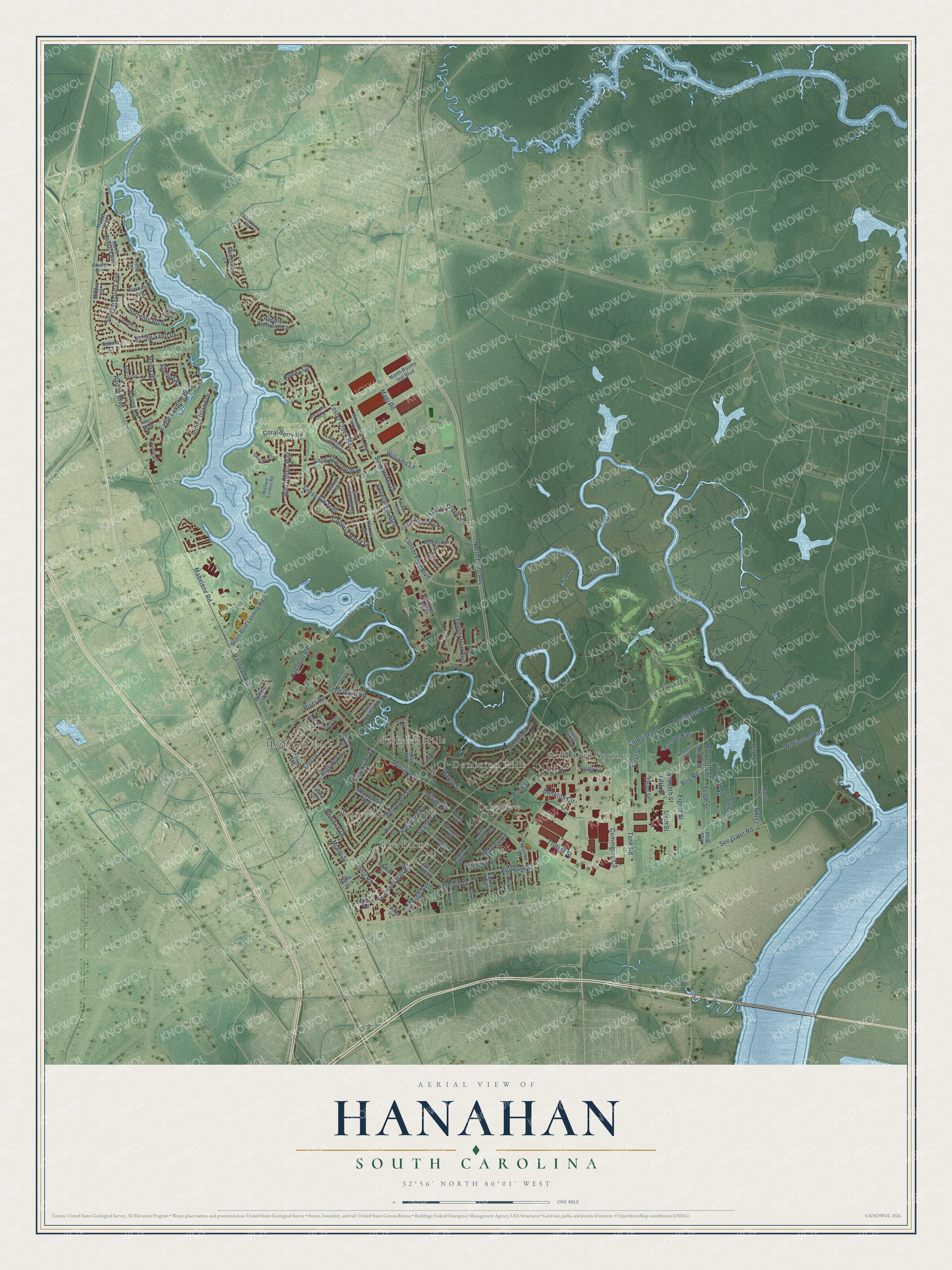
Street and place names on the Hanahan, South Carolina map
These names are printed on the map of Hanahan, South Carolina.
Places: Belvedere, Berkeley Hills, Dominion Hills, Gold Cup Springs, Highland Park, Lakeview and The Farms.
Streets and roads: North Rhett Avenue, Eagle Landing Boulevard, Mabelene Road, Loftis Road, Cross Bill Trail, Yeamans Hall Road, Foster Creek Road, Perimeter Road, Murray Avenue, Wilkinson Way, Clubside Drive, Hanahan Road.
More street names, A to Z
13th Street, 14th Street, 15th Street, Allison Avenue, Architect Way, Audubon Drive, Avenue East, Bankton Circle, Basin Road, Belle Grove Circle, Belvedere Drive, Berkeley Street, Bettis Boat Landing Road, Beverly Drive, Billberry Street, Brig Road, Brookside Drive, Brook Street, Brown Thrasher Court, Bullwinkle Road, Canterbury Drive, Carolyn Street, Channel Park Drive, Chaucer Drive, Commerce Circle, Coopers Hawk Drive, Coral Berry Road, Cornor Avenue, Creek Stone Way, Deerberry Road, Dennis Drive, Dickson Avenue, Dominion Drive, East Recess Road, Edison Avenue, Eighth Street, Eleventh Street, Fifth Street, First Street, Forest Drive, Fort Drive, Griffin Street, Hanahan Plantation Circle, Harrier Drive, Hawks Circle, Hawthorne Road, Hillside Drive, Hoover Street, Hume Avenue, Indigo Island Drive, John Rutledge Avenue, Kestrel Trail, Leone Lane, Lepley Road, Lombardi Lane, Magi Road, Mallard Estates Road, Malvern Lane, Manor Boulevard, Maple Street, Meadowcliff Avenue, Melvin Drive, Mercedes Way, Miami Street, Milano Street, Monte Sano Drive, Mossy Creek Lane, Mount Batten Drive, Murray Drive, Ninth Street, North Basilica Avenue, Northgate Drive, North Pointe Ind Boulevard, Old Point Road, Otranto Boulevard, Painted Bunting Way, Palm Street, Pine Court, Pine Street, Pov Boulevard, Railroad Avenue, Raptor Boulevard, Ravenna Avenue, Raven Road, Redeemer Road, Rembert Drive, River Road, Riverview Drive, Roma Road, Sabina Court, Salvo Street, San Jose Lane, See Gator Road, Sellers Road, Seventh Street, Sixth Street, Song Sparrow Way, Sorrento Boulevard, South Basilica Avenue, Spring Valley Drive, Starling Road, Steelchase Lane, Stratford Drive, Suncatcher Drive, Sweetfern Road, Sweetgrass Boulevard, Talon Way, Tank Road, Tanner Ford Boulevard, Tanner Hall Boulevard, Tenth Street, Third Street, Trident Street, Twelfth Street, Valley Court, Valley Drive, Venice Avenue, Waring Road, Weavers Way, West Lakeside Drive, Whispering Oak Drive, Wild Indigo Way, Willard Drive, Williams Lane, Woodsage Drive.
See the Hanahan, South Carolina map on a wall
The Hanahan map as an 18 x 24 inch print in a black frame.

This beautifully detailed map of Hanahan makes an attractive addition to your office, library, or den, and it can even be used to teach children the geography and history of the area. It also makes a great gift for anyone with Hanahan roots. When you’re done exploring, click here to get your copy of the Hanahan map.