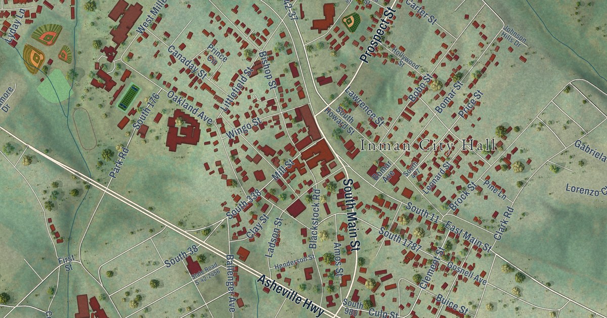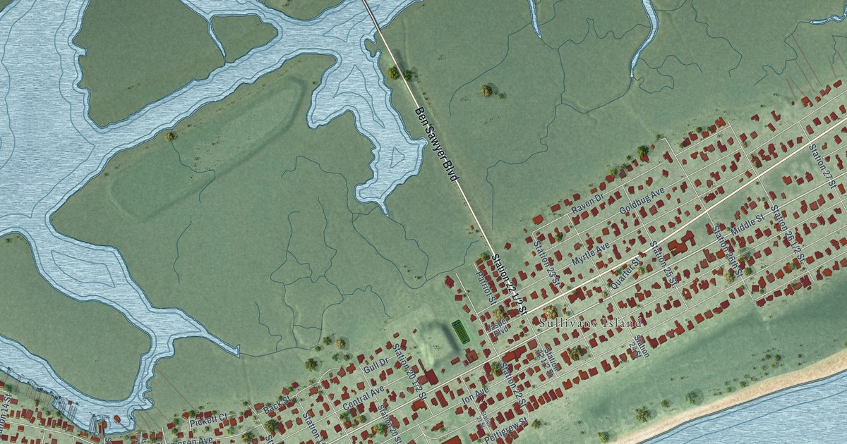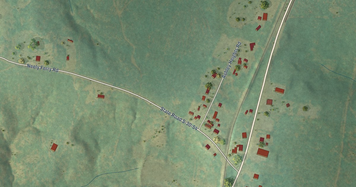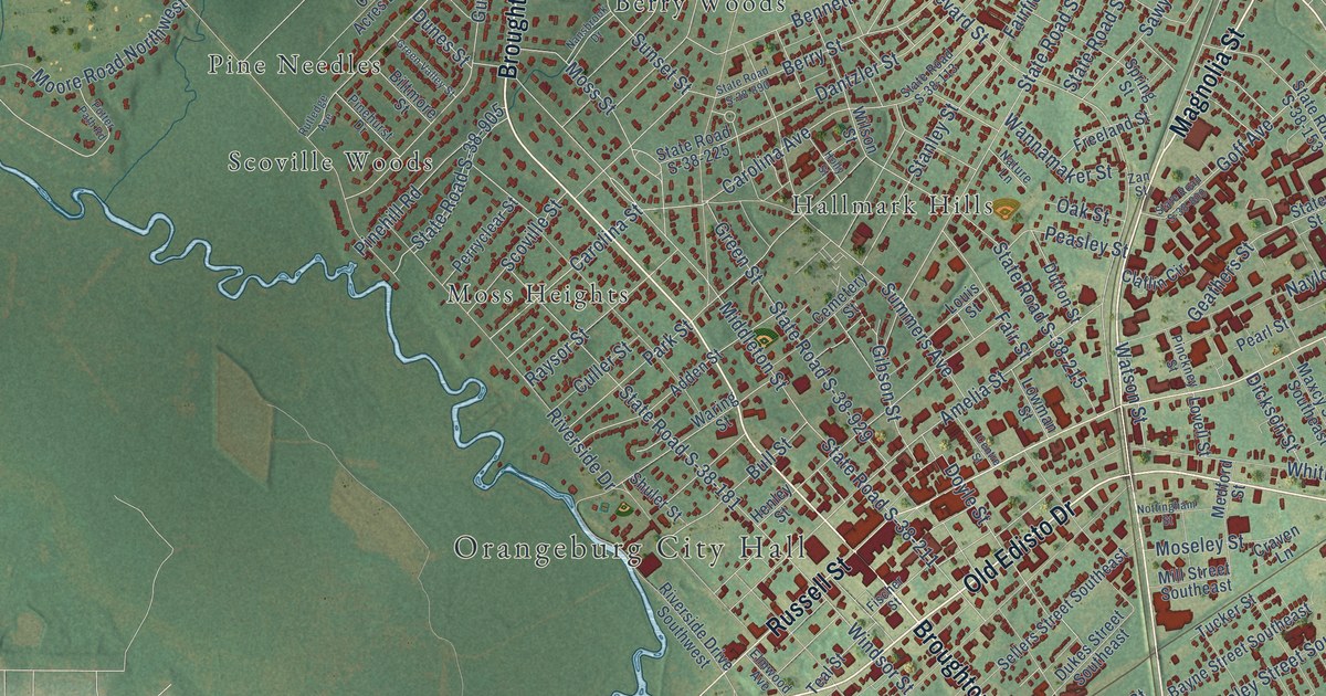
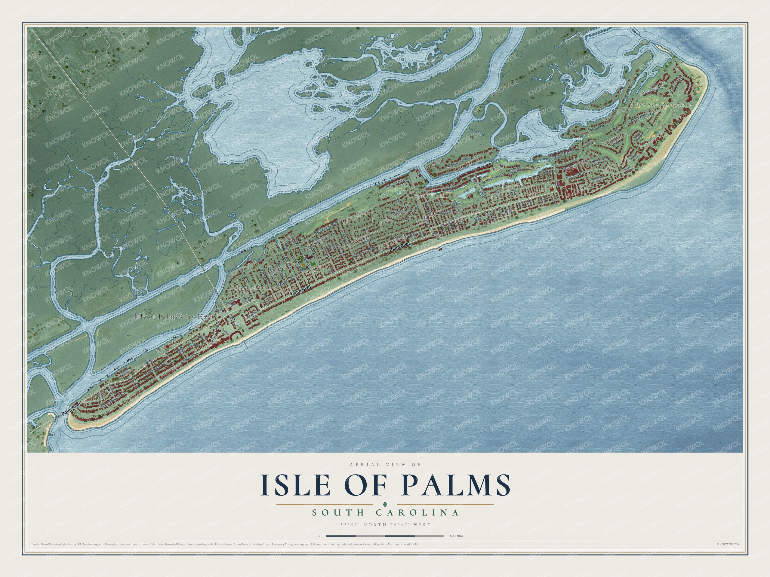
This beautifully detailed map of Isle of Palms, South Carolina was created in 2026 using aerial imagery combined with modern topographical, census, street and landmark data. It's a modern aerial view of Isle of Palms in Charleston County, South Carolina, that combines modern data with a vintage aesthetic. The roads feature printed names, and if you look closely you can find your exact house accurately shown in its correct location.
Explore an aerial view of Isle of Palms, South Carolina
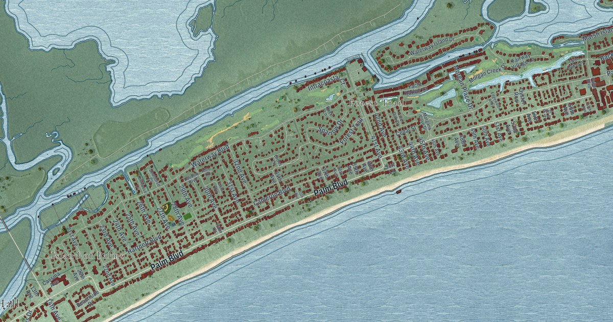
On this map you'll find Isle of Palms City Hall, Island of Palms, Forest Trail, Wild Dunes – Links Course, Palm Boulevard, Palmetto Drive, Back Bay Drive, Carolina Boulevard, Morgan Place Drive, Hartnett Boulevard, Seagrass Lane, Dune Ridge Lane, and more. Each red shape is a building, so zoom in on the preview and look for yours.
Isle of Palms has a story worth telling. The record at scencyclopedia.org puts it this way: "In 1972 after the year-round residents had attained the status of an incorporated town, the Sea Pines Company of Hilton Head Island developed land on the northern end to fashion Wild Dunes, an exclusive residential and tourist address built around a world-class golf and tennis club."
Isle of Palms is a city in Charleston County. The Census Bureau counted 4,347 people here in 2020.
Take a closer look at the Isle of Palms map
Names on this map
These names are printed on this map.
Places: Isle of Palms City Hall, Island of Palms, Forest Trail and Wild Dunes - Links Course.
Streets and roads: Palm Boulevard, Palmetto Drive, Back Bay Drive, Carolina Boulevard, Morgan Place Drive, Hartnett Boulevard, Seagrass Lane, Dune Ridge Lane, Ocean Boulevard, Waterway Boulevard, Cameron Boulevard, Charleston Boulevard.
More street names, A to Z
13th Avenue, 14th Avenue, 20th Avenue, 21st Avenue, 22nd Avenue, 23rd Avenue, 24th Avenue, 25th Avenue, 26th Avenue, 27th Avenue, 28th Avenue, 29th Avenue, 30th Avenue, 31st Avenue, 32nd Avenue, 34th Avenue, 35th Avenue, 37th Avenue, 38th Avenue, 39th Avenue, 40th Avenue, 41st Avenue, 42nd Avenue, 43rd Avenue, 44th Avenue, 45th Avenue, 46th Avenue, 48th Avenue, 49th Avenue, 50th Avenue, 51st Avenue, 52nd Avenue, 54th Avenue, 55th Avenue, 56th Avenue, 57th Avenue, Allie Court, Back Court, Bay Court, Beach Club Villas, Beachside Drive, Beachwood West, Cassina Avenue, Cedar Street, Cross Lane, Driftwood Lane, Duck Lane, Edgewater Alley, Eighth Avenue, Fairway Dunes Lane, Fairway Oaks Lane, Fairway Village Lane, Fifth Avenue, Harbor Oaks Drive, Hidden Green Lane, Intracoastal Court, Lagoon Road, Lauden Boulevard, Live Oak Drive, Marsh Island Lane, Marsh Point Lane, Merritt Boulevard, Morgan Creek Drive, Morgans Cove Drive, Ninth Avenue, Ocean Point, Oyster Row, Palm Court, Pavilion Drive, Pelican Reach, Seahorse Court, Second Avenue, Seventh Avenue, Sixth Avenue, Sparrow Drive, Surf Lane, Tenth Avenue, Third Avenue, Twin Oaks Lane, Waterway Island Drive, Wills Way, Yacht Harbor Court.
Created by KNOWOL in 2026. The buildings are small red shapes, the roads carry their printed names, and shaded relief shows the shape of the land. The title panel reads "AERIAL VIEW OF ISLE OF PALMS SOUTH CAROLINA" with 32°47' NORTH 79°47' WEST.
It looks right in a kitchen, an office or a den, and it's a gift for anyone who grew up in Isle of Palms or moved away. Open the preview and find your street. See sizes and frames for the Isle of Palms map.