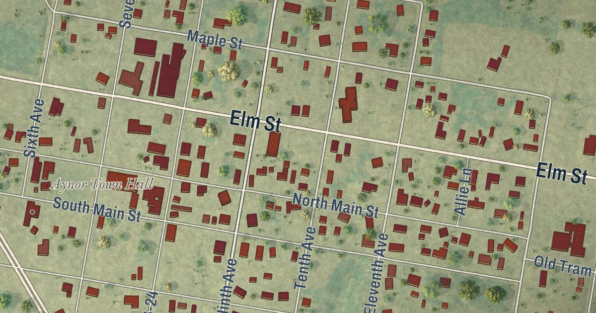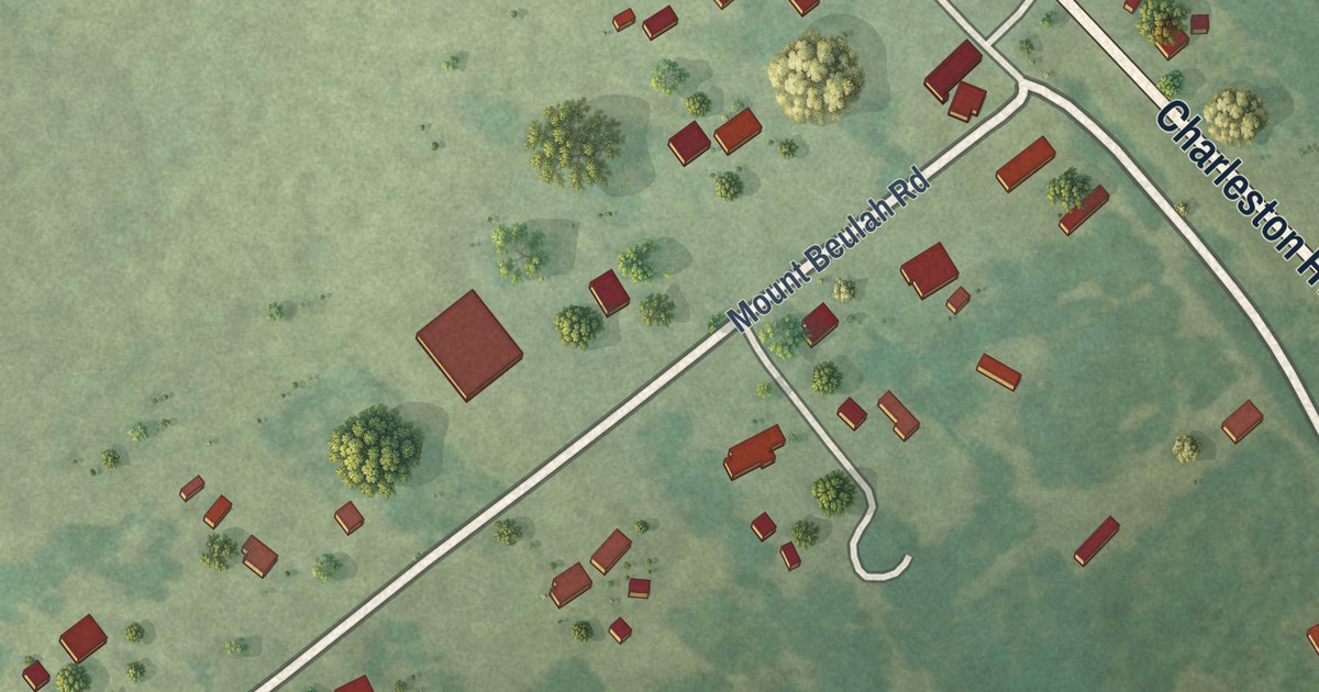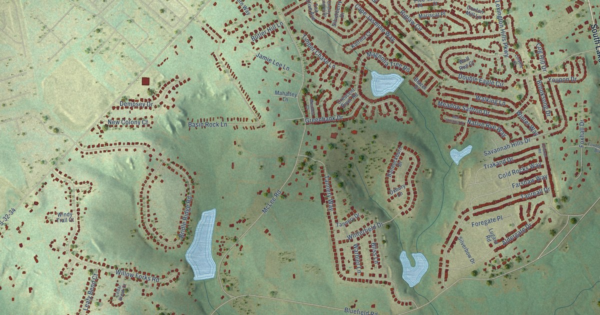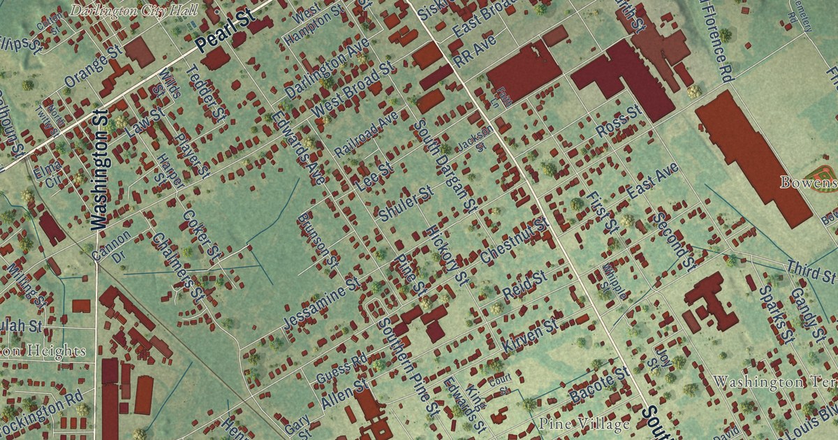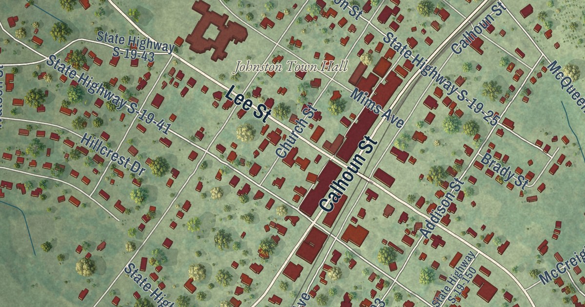
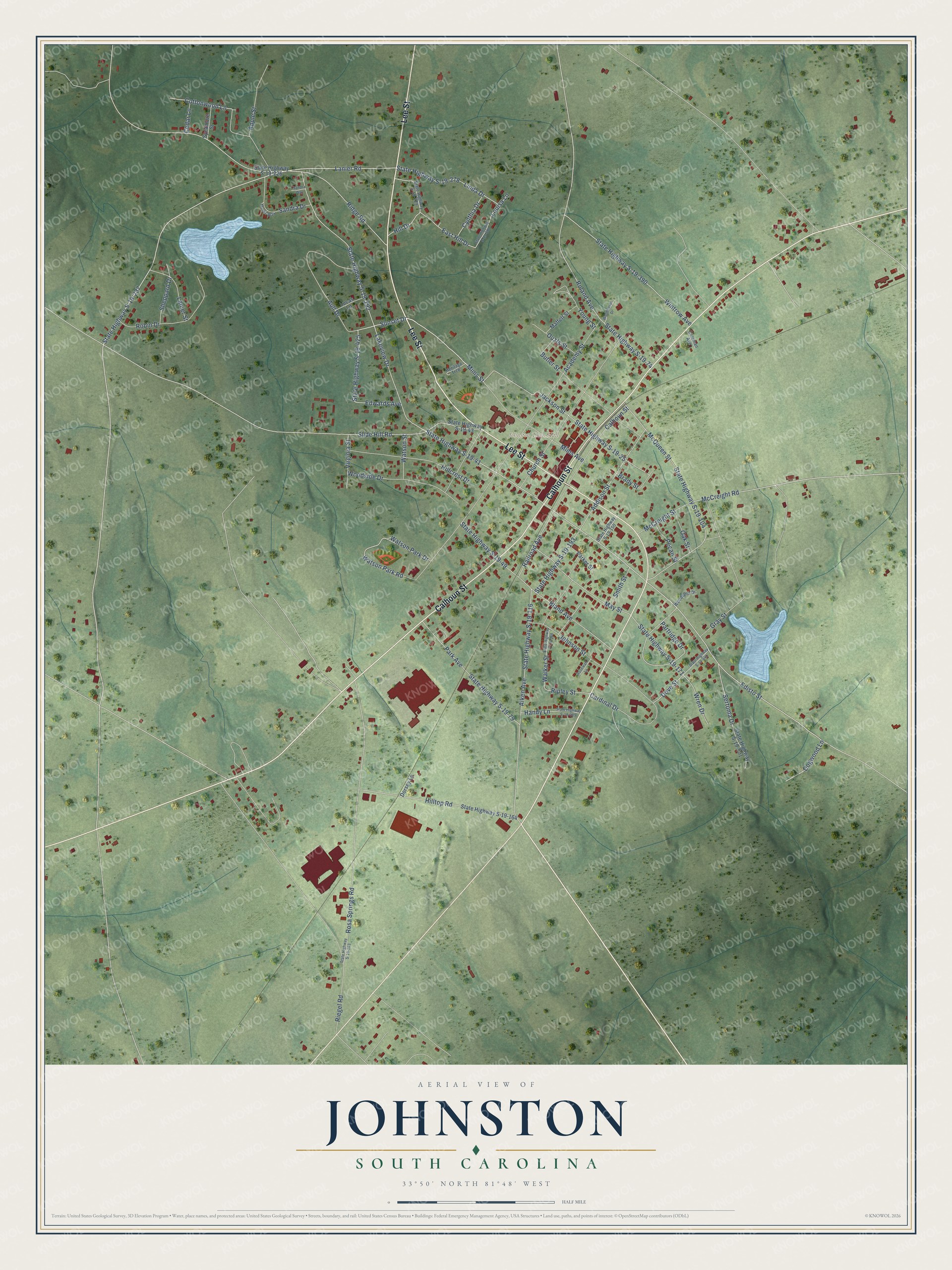
This beautifully detailed map of Johnston, South Carolina was created in 2026 using aerial imagery combined with modern topographical, census, street and landmark data. It’s a one-of-a-kind view of Johnston that combines accurate data with a vintage aesthetic. The map shows every building in its true location, many of the roads carry their names, and the shaded topographic relief shows the shape of the land.
Explore an aerial view of Johnston, South Carolina
On the map you’ll find Johnston Town Hall, along with Lee Street, Calhoun Street, Mims Avenue, Mims Street, Sunset Drive, Watson Park Road, Edisto Street, Lanier Road, McCreight Road, State Highway S-19-41, State Highway S-19-237, and more. If you look closely you can even find your house accurately drawn in its correct location. Zoom in on the preview to look for yours.
Did you know this piece of Johnston, South Carolina history?
The Charlotte, Columbia and Augusta Railroad pushed west toward Augusta in the late 1860s. Dr. Edward Jones Mims convinced its president, William Johnston, to lay the tracks across his 1,200-acre plantation. In return, Dr. Mims named the new town for Johnston. Peach growing took off there in the early 1900s.
Take a closer look at the Johnston map
Street and place names on the Johnston, South Carolina map
These names are printed on the map of Johnston, South Carolina.
Places: Johnston Town Hall.
Streets and roads: Lee Street, Calhoun Street, Mims Avenue, Mims Street, Sunset Drive, Watson Park Road, Lanier Road, McCreight Road, Edisto Street, State Highway S-19-41, State Highway S-19-237, Ridge Road.
More street names, A to Z
Academy Street, Addison Street, Aiken Avenue, Apple Street, Aull Drive, Bland Avenue, Brady Street, Butler Street, Cardinal Drive, Cedar Lane, Church Street, Coleman Avenue, Cottonwood Lane, Cynthia Drive, Dogwood Lane, Dorsey Lane, Dove Street, East Hill Drive, Edwards Avenue, Gray Street, Handy Lane, Heritage Trce, Hillcrest Drive, Hill Drive, Hilltop Road, Jackson Street, Johnson Street, Lakeview Drive, Lanier Street, Linda Drive, Louisa Lane, Lucas Lane, Maffett Street, May Street, McCreight Street, McQueen Street, Monks Way, Oak Street, Ouzts Street, Park Avenue, Parker Street, Partridge Drive, Pecan Street, Railroad Avenue, Riegel Road, Ripley Street, Robin Drive, Roland Avenue, Rosa Springs Road, Rosewall Lane, Sandra Drive, Sandra Way, Sertoma Drive, Sheppard Drive, Slide Hill Road, Smith Street, State Highway S-19-25, State Highway S-19-43, State Highway S-19-49, State Highway S-19-74, State Highway S-19-79, State Highway S-19-104, State Highway S-19-116, State Highway S-19-150, State Highway S-19-163, State Highway S-19-164, State Highway S-19-171, State Highway S-19-193, State Highway S-19-226, State Highway S-19-229, State Highway S-19-278, State Highway S-19-288, State Highway S-19-292, State Highway S-19-389, State Highway S-19-390, State Highway S-19-425, State Highway S-19-441, State Highway S-19-501, State Highway S-19-600, Sycamore Street, Virginia Street, Walker Street, Watson Park Drive, Watson Street, Wintrow Avenue, Woodhaven Drive, Woodland Drive, Woodside Drive, Wren Drive, Young Street.
See the Johnston, South Carolina map on a wall
The Johnston map as an 18 x 24 inch print in a black frame.

This beautifully detailed map of Johnston makes an attractive addition to your office, library, or den, and it can even be used to teach children the geography and history of the area. It also makes a great gift for anyone with Johnston roots. When you’re done exploring, click here to get your copy of the Johnston map.