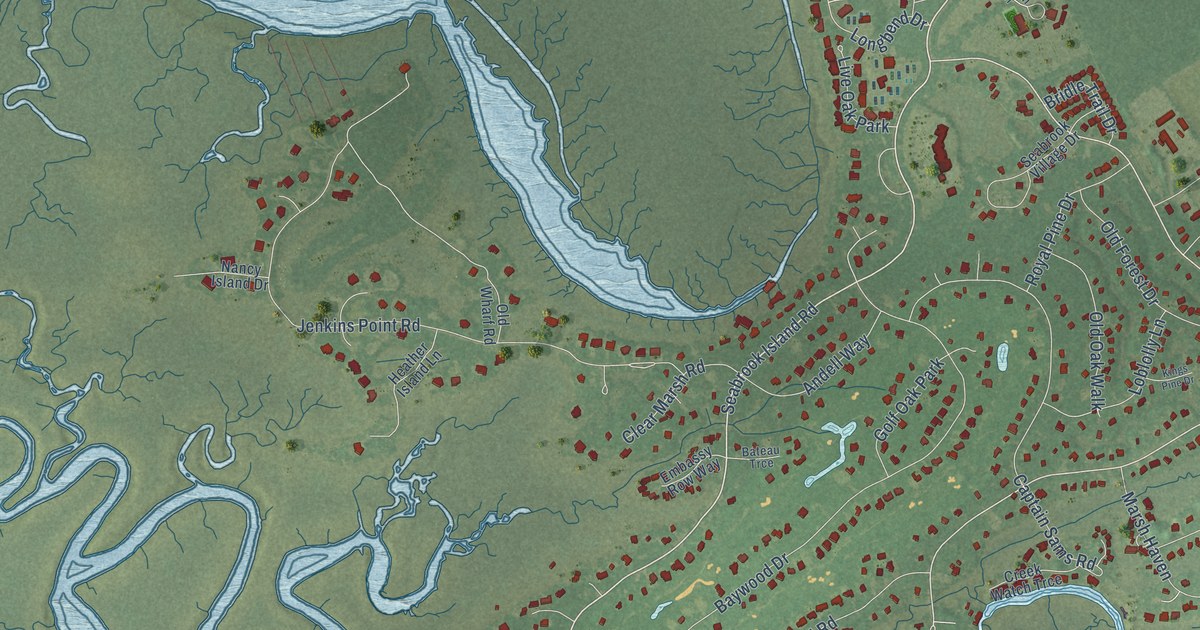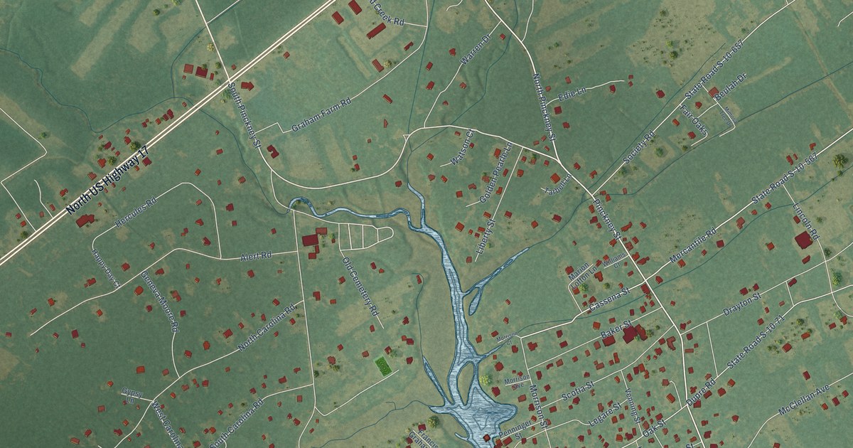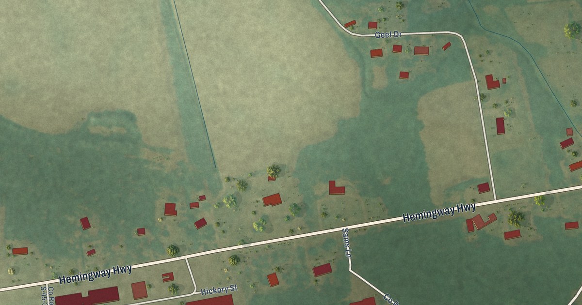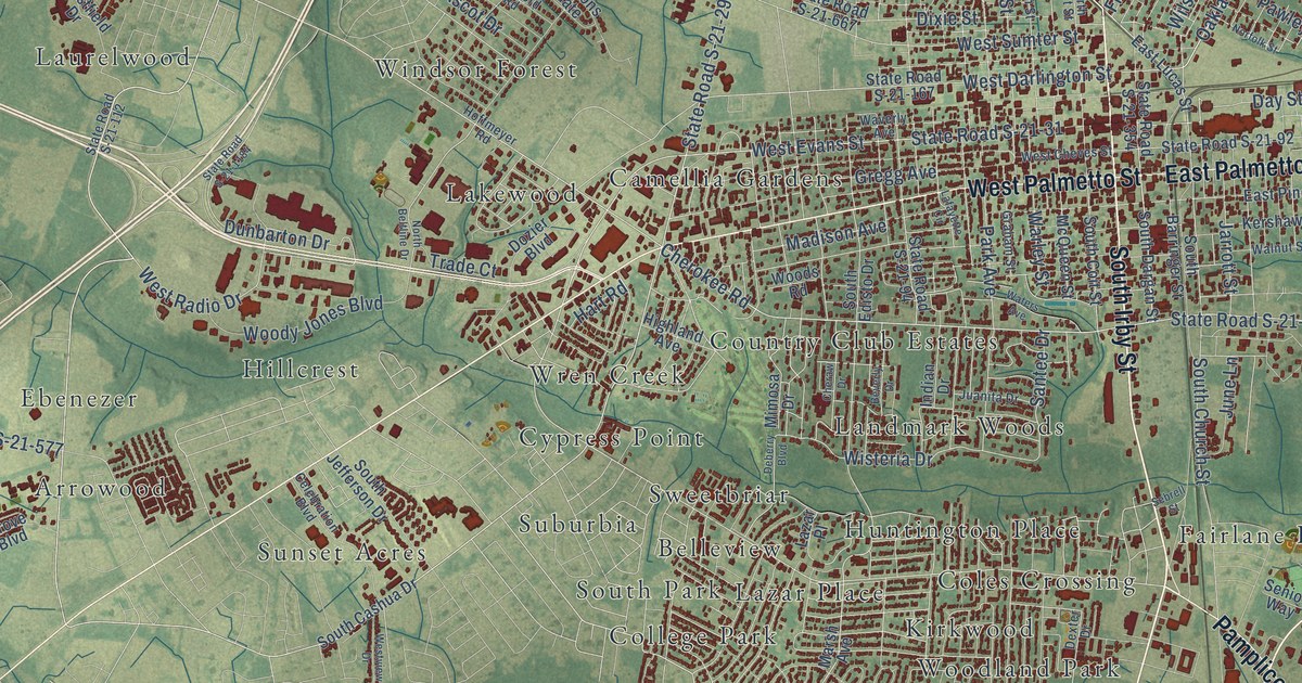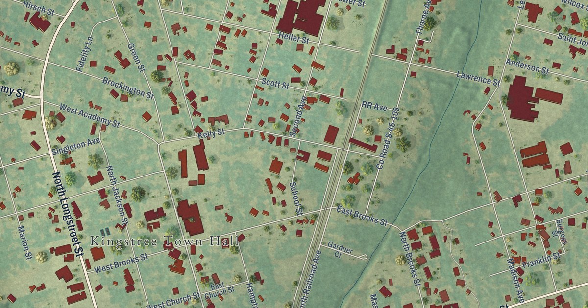
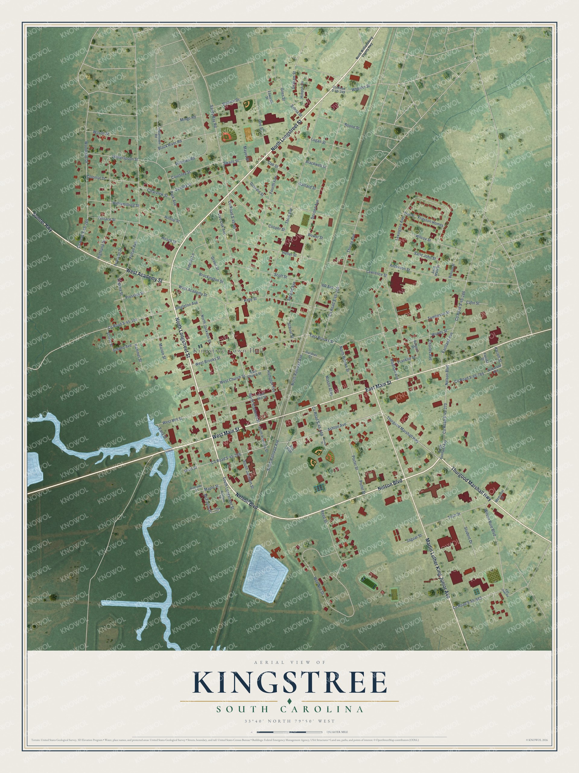
This beautifully detailed map of Kingstree, South Carolina was created in 2026 using aerial imagery combined with modern topographical, census, street and landmark data. It's a modern aerial view of Kingstree in Williamsburg County, South Carolina, that combines modern data with a vintage aesthetic. The roads feature printed names, and if you look closely you can find your exact house accurately shown in its correct location.
Explore an aerial view of Kingstree, South Carolina
On this map you'll find Kingstree Town Hall, North Longstreet Street, Nelson Boulevard, West Main Street, Thurgood Marshall Highway, East Main Street, Sumter Highway, Martin Luther King Junior Avenue, West Academy Street, North Academy Street, Ashton Avenue, South Railroad Avenue, and more. Each red shape is a building, so zoom in on the preview and look for yours.
Here is a piece of Kingstree history, in the words of the record. The record at scencyclopedia.org puts it this way: "Logan, who had founded the county’s first newspaper, the Kingstree Star, in 1856, established the County Record."
Kingstree is a town in Williamsburg County. The Census Bureau counted 3,244 people here in 2020.
Take a closer look at the Kingstree map
Names on this map
These names are printed on this map.
Places: Kingstree Town Hall.
Streets and roads: North Longstreet Street, Nelson Boulevard, West Main Street, Thurgood Marshall Highway, East Main Street, Sumter Highway, Martin Luther King Junior Avenue, West Academy Street, North Academy Street, Ashton Avenue, South Railroad Avenue, North Railroad Avenue.
More street names, A to Z
Anderson Street, Benson Street, Black River Road, Blackwell Street, Boone Street, Bower Street, Brockington Street, Burgess Street, Cahn Street, Cedar Lane, Charles Avenue, Clearview Street, Colonial Drive, Cooper Street, County Road S-45-44, County Road S-45-104, County Road S-45-109, County Road S-45-185, County Road S-45-186, County Road S-45-226, County Road S-45-268, County Road S-45-270, County Road S-45-349, County Road S-45-683, County Road S-45-765, Courtney Street, East Brooks Street, East Church Street, Eastland Avenue, East Mill Street, Easy Street, Edwards Street, Fair Deal Road, Fidelity Lane, Florida Street, Fourth Avenue, Franklin Street, Frierson Drive, Frierson Homes, Fulton Avenue, Gaillard Street, Gardner Court, Gee Street, Giles Street, Gilland Avenue, Gordon Street, Gourdin Street, Graham Street, Green Street, Hammet Street, Hampton Avenue, Harrell Street, Heller Street, Highland Drive, Hilltop Street, Hinson Circle, Hirsch Street, Indiantown Road, Jaguar Street, Juanita Street, Kelly Street, Lawrence Street, Lexington Avenue, Live Oak Avenue, Logan Street, Madison Avenue, Maple Street, Marion Street, Mason Alley, Mayes Street, McFarlin Street, Memorial Drive, Mingo Road, North Brooks Street, North Jackson Street, North Williamsburg County Highway, Oak Street, Park Avenue, Poltel Street, Porter Street, Pressley Street, Rec Path, Reed Street, Regal Street, Riverland Terrace, Riverside Lane, RR Avenue, Saint John Street, Saint Mark Street, Sandy Bay Road, School Street, Scott Street, Scriven Street, Second Avenue, Selma Street, Short Street, Singleton Avenue, South Academy Street, South Eastland Avenue, South Jackson Street, South Longstreet Street, Stallion Drive, Student Drive, Swails Street, Tech Drive, Terrace Street, Third Avenue, Thorne Avenue, Tomlinson Street, Virginia Street, Wee Nee Drive, West Brooks Street, West Church Street, West Mill Street, Wheeler Street, Wilcox Street, Wilkerson Avenue, Williamsburg Street, Willtown Road, Wilson Buie Boulevard, Wilson Street, Witherspoon Street, Woodland Drive, Woods Street.
Created by KNOWOL in 2026. The buildings are small red shapes, the roads carry their printed names, and shaded relief shows the shape of the land. The title panel reads "AERIAL VIEW OF KINGSTREE SOUTH CAROLINA" with 33°40' NORTH 79°50' WEST.
It suits a den, a classroom or a front hall, and it makes a gift for anyone with Kingstree roots. Open the preview and find the block you know. See sizes and frames for the Kingstree map.