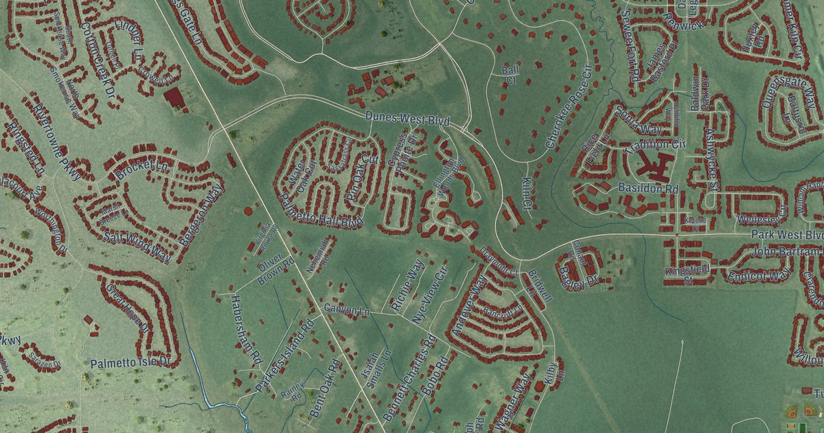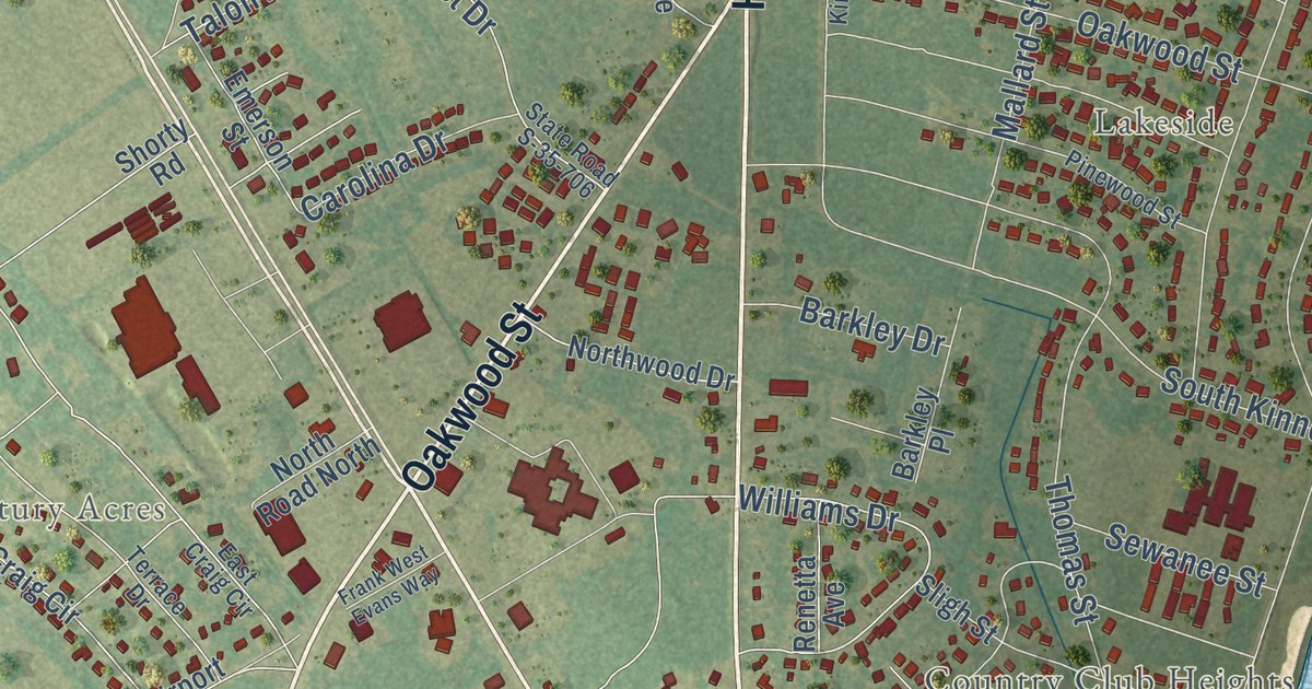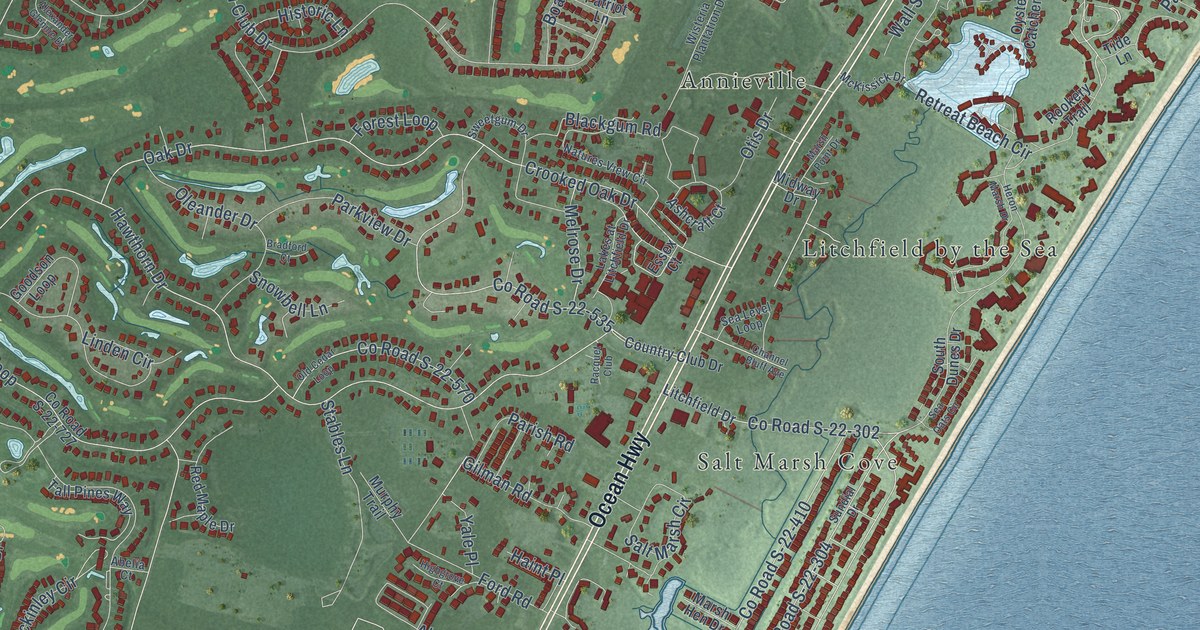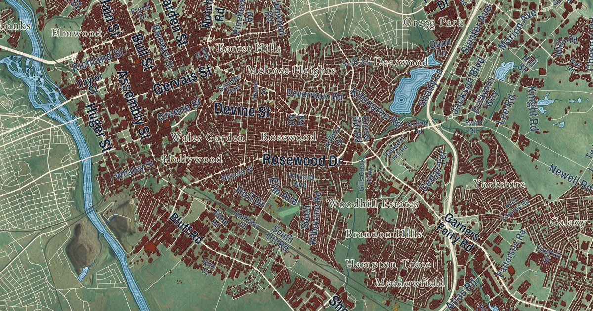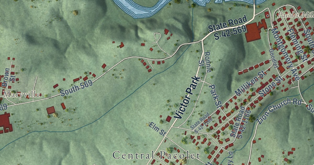
This beautifully detailed map of Pacolet, South Carolina was created in 2026 using aerial imagery combined with modern topographical, census, street and landmark data. It’s a one-of-a-kind view of Pacolet that combines accurate data with a vintage aesthetic. The map shows every building in its true location, many of the roads carry their names, and the shaded topographic relief shows the shape of the land.
Explore an aerial view of Pacolet, South Carolina
On the map you’ll find Pacolet Mills, Pacolet Park, Central Pacolet, Maryville, Pacolet River Heritage Preserve, and Victor Park, along with Limestone Street, South Pine Street, Glenn Springs Road, State Road S-42-572, Montgomery Avenue, Zion Church Road, and more. If you look closely you can even find your house accurately drawn in its correct location. Zoom in on the preview to look for yours.
Did you know this piece of Pacolet, South Carolina history?
On June 6, 1903, a mountain storm sent the Pacolet River over its banks. The flood swept away two of the mills and badly damaged the third. No flood insurance was available. With advice from Milliken in New York, the town and its mills were rebuilt.
Take a closer look at the Pacolet map
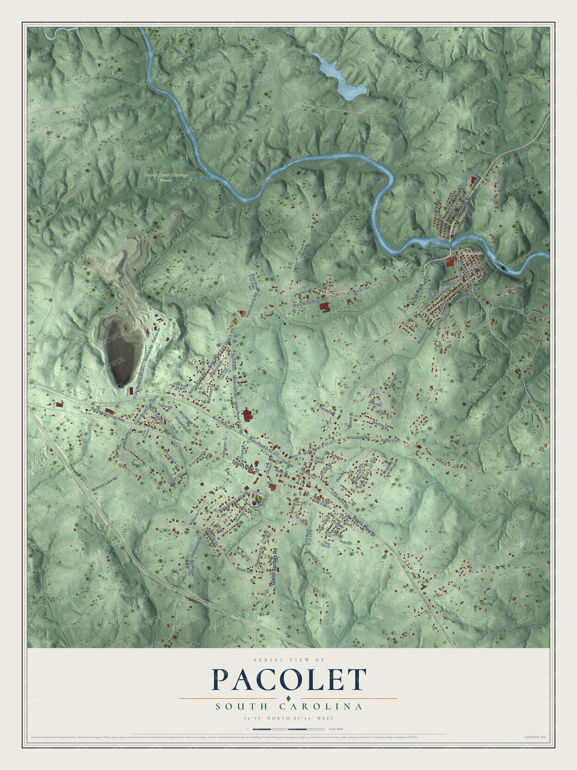
Street and place names on the Pacolet, South Carolina map
These names are printed on the map of Pacolet, South Carolina.
Places: Pacolet Mills, Central Pacolet, Maryville, Pacolet River Heritage Preserve and Victor Park.
Streets and roads: Limestone Street, South Pine Street, Glenn Springs Road, State Road S-42-572, Montgomery Avenue, Zion Church Road, Short Drive, Oak Road, Sutton, Stone Street, State Road S-42-569, Hillbrook Circle.
More street names, A to Z
Allen Drive, Beech Street, Bellwood Lane, Brewster Street, Briarwood Drive, Broadview Street, Brown Mill Road, Brown Street, Bryant Street, Calico Drive, Carroll Circle, Cart Court, Chestnut Street, Church Street, Cleveland Street, Coleman Circle, Cook Drive, Crescent, Crescent Drive, Deerwood Drive, Dogwood Circle, Dogwood Drive, East Main Street, Elizabeth Street, Elm Street, Fernbrook Circle, Fleming Street, Gaston Street, Goldmine Road, Goodlet, Granite Street, Green Street, Hardy Street, Hart Street, Highland Street, Hillandale Lane, Hill Drive, Homestead Drive, Houston Street, Jerusalem Road, Kailin Shea Avenue, Knuckles Street, Lee Street, Ligon Street, McDowell Street, Melodie Lane, Memorial Drive, Milliken Street, Mimosa Lake Road, Moore Street, Morningstar Lane, Noble Drive, Norwood Street, Oak Street, Old Spartanburg Highway, Park Street, Poplar Street, Quarry Lane, Rock Quarry Road, Ronnie Street, Royal Oak Drive, South 108, South 227, South 482, South 555, South 561, South 569, South 572, South 809, South 816, Spring Street, Spruce Street, State Road S-42-86, State Road S-42-227, State Road S-42-374, State Road S-42-377, State Road S-42-381, State Road S-42-482, State Road S-42-747, State Road S-42-1050, State Road S-42-1150, State Road S-42-1160, State Road S-42-1166, State Road S-42-1811, State Road S-42-1978, State Road S-42-2534, State Road S-42-3488, State Road S-42-3501, State Road S-42-3503, State Road S-42-4351, State Road S-42-9960, Steen Place, Sunny Acres Road, Sunset Drive, Thao Drive, Turner Street, Vulcan Road, West Main Street, Whitt Circle, Woodland Circle, Yang Lee Drive.
See the Pacolet, South Carolina map on a wall
The Pacolet map as an 18 x 24 inch print in a black frame.

This beautifully detailed map of Pacolet makes an attractive addition to your office, library, or den, and it can even be used to teach children the geography and history of the area. It also makes a great gift for anyone with Pacolet roots. When you’re done exploring, click here to get your copy of the Pacolet map.