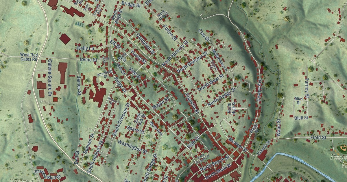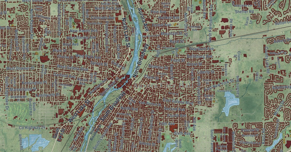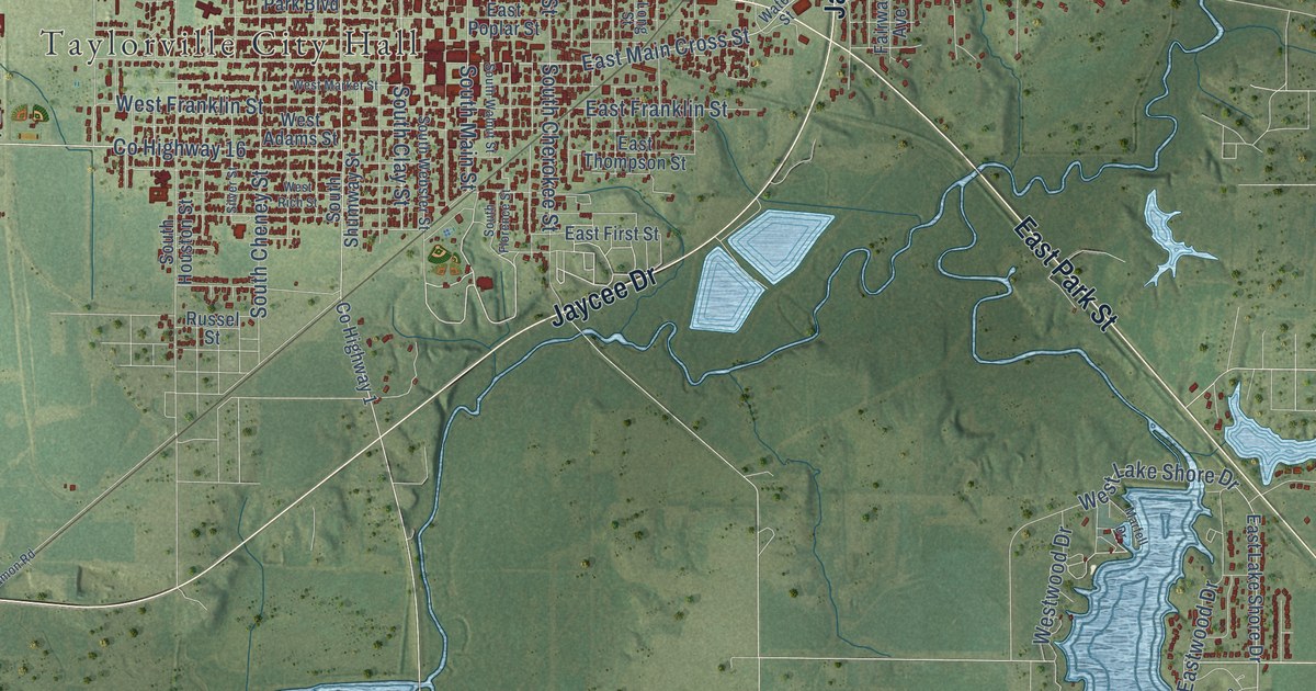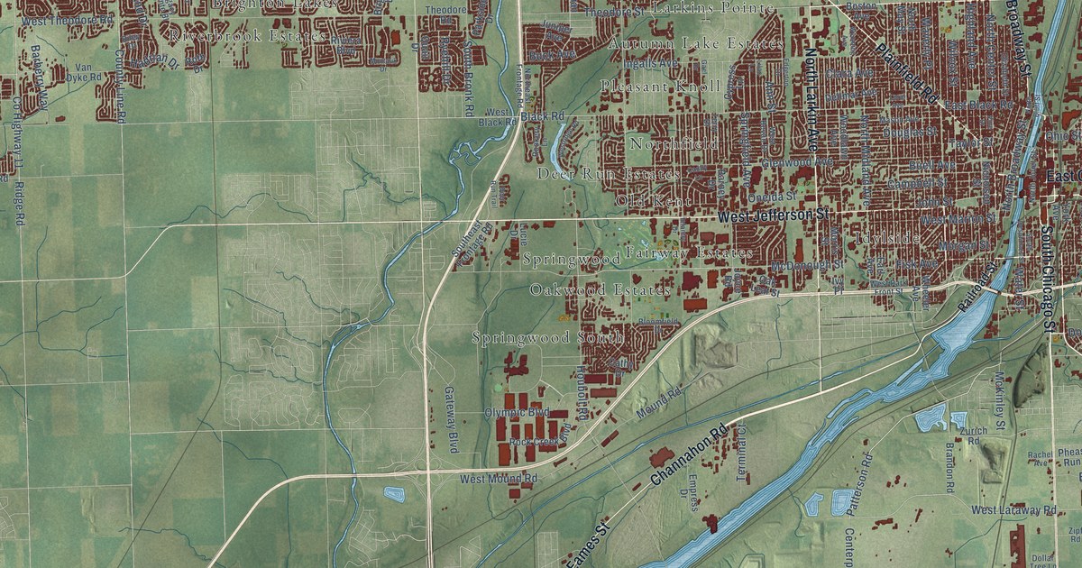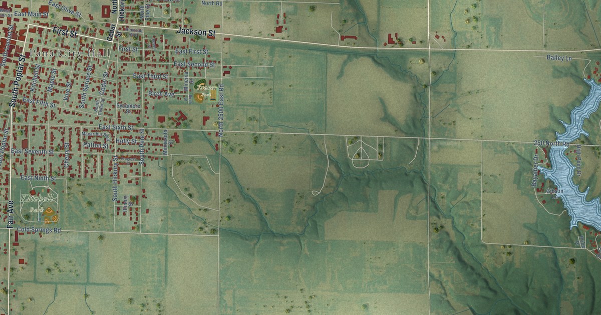
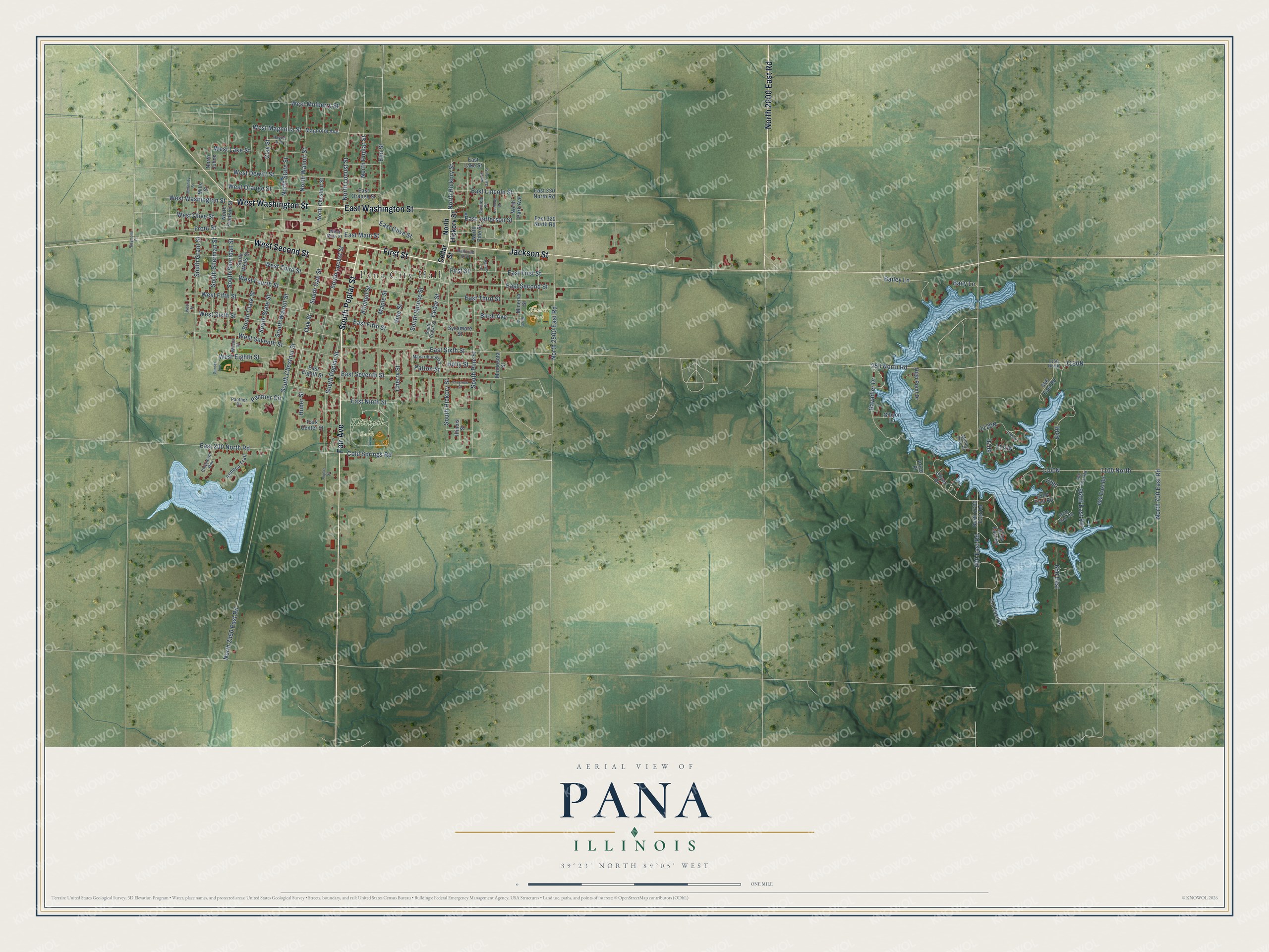
This beautifully detailed map of Pana, Illinois was created in 2026 using aerial imagery combined with modern topographical, census, street and landmark data. It's a modern aerial view of Pana in Christian County, Illinois, that combines modern data with a vintage aesthetic. The roads feature printed names, and if you look closely you can find your exact house accurately shown in its correct location.
Explore an aerial view of Pana, Illinois
On this map you'll find Pana City Hall, Kitchell Park, Tanner Park, Fair Avenue, First Street, South Poplar Street, East Washington Street, West Washington Street, North 2600 East Road, West Second Street, Jackson Street, 600 East Road, and more. Each red shape is a building, so zoom in on the preview and look for yours.
Pana has a story worth telling. The Christian County History puts it this way: "Helmick opened the first banking-house in Pana, in July, 1866. This was also the first bank in the county."
Pana is a city in Christian County. The Census Bureau counted 5,199 people here in 2020.
Take a closer look at the Pana map
Names on this map
These names are printed on this map.
Places: Pana City Hall, Kitchell Park and Tanner Park.
Streets and roads: Fair Avenue, First Street, South Poplar Street, East Washington Street, West Washington Street, North 2600 East Road, West Second Street, Jackson Street, 600 East Road, East 200 North Road, East Main Street, Elm Street.
More street names, A to Z
250 North Road, 613 East Road, 646 East Road, 650 East, 665 East Road, 685 East Road, 1100 North, 1150 North, Bailey Lane, Baily Lane, Bayadier Drive, Beyers Avenue, Birch Avenue, Birch Street, Cedar Street, Cherry Street, Chippewa Run, Clay Street, Cold Springs Road, East 320 North Road, East 330 North Road, East Eighth Street, East Fifth Street, East First Street, East Jefferson Street, East Lake Street, East Lincoln Street, East Ninth Street, East Olive Street, East Orange Street, East Second Street, East Seventh Street, East Sixth Street, East Third Street, Front Street, Garfield Street, Gibson Lane, Hayes Avenue, High Point Drive, Holly Street, Huber Street, Illinois Street, Kennedy Street, Kitchell Street, Macarthur Boulevard, Magnolia Avenue, Maple Street, McKinley Street, Middle Dam Road, Mills Street, Minerva Street, Minnesota Street, North 700 East Road, North 2350 East Road, North 2500 East Road, North 2700 East Road, North Chestnut Street, North Franklin Street, North Garfield Street, North Hickory Street, North Johns, North Locust Street, North Park Avenue, North Pine Street, North Poplar Street, North State Street, North Walnut Street, Oak Street, Oliver Drive, Panther Circle, Panther Drive, Park Center Street, Patton Street, Poplar Street, Price Place, Progress Street, Railroad Avenue, Raymond Street, Seneca Trail, South Cedar Street, South Chestnut Street, South Clark Street, South Grant Street, South Hickory Street, South Locust Street, South Oak Street, South Pine Street, South Sheridan Street, South Sherman Street, South Spruce Street, South State Street, South Walnut Street, South Wells Street, Sunset Avenue, Sycamore Street, Vine Street, West Dewitt Street, West Eighth Street, West Fifth Street, West Fourth Street, West Lake Street, West Magnolia Street, West Main Street, West Mulberry Street, West Olive Street, West Orange Street, West Seventh Street, West Sixth Street, West Street, West Third Street, Wilson Street.
Created by KNOWOL in 2026. The buildings are small red shapes, the roads carry their printed names, and shaded relief shows the shape of the land. The title panel reads "AERIAL VIEW OF PANA ILLINOIS" with 39°23' NORTH 89°05' WEST.
It looks right in a kitchen, an office or a den, and it's a gift for anyone who grew up in Pana or moved away. Open the preview and find your street. See sizes and frames for the Pana map.