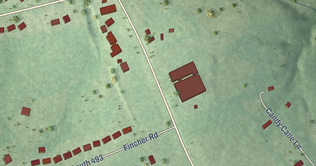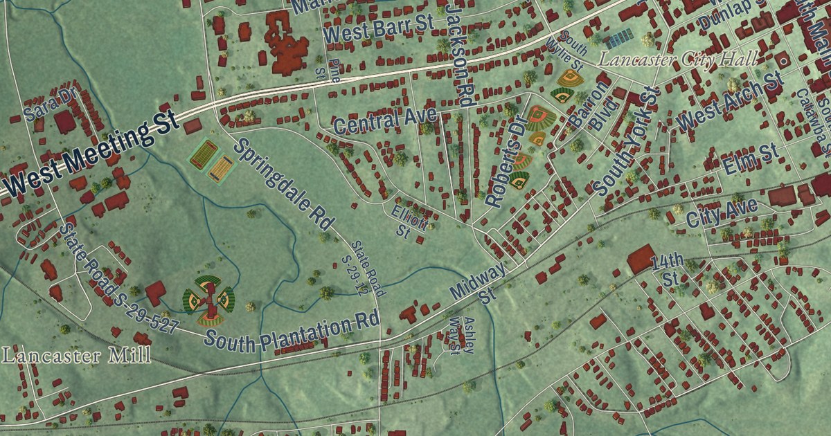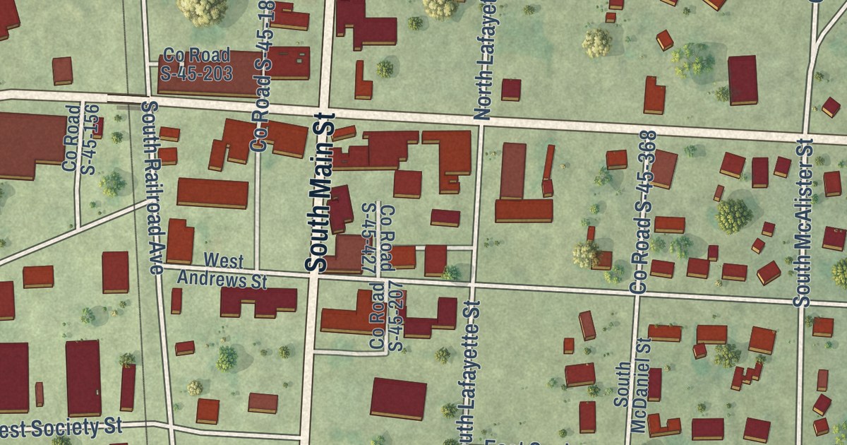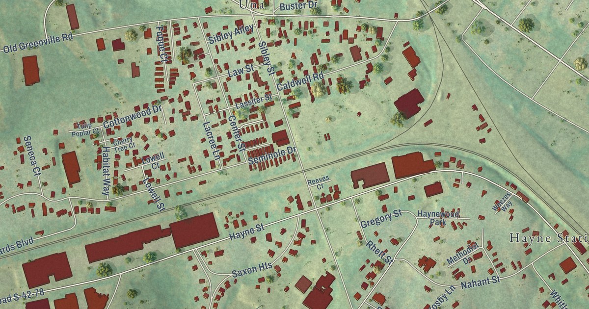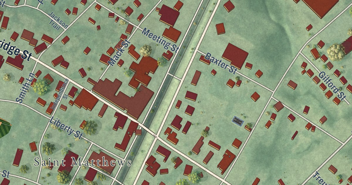
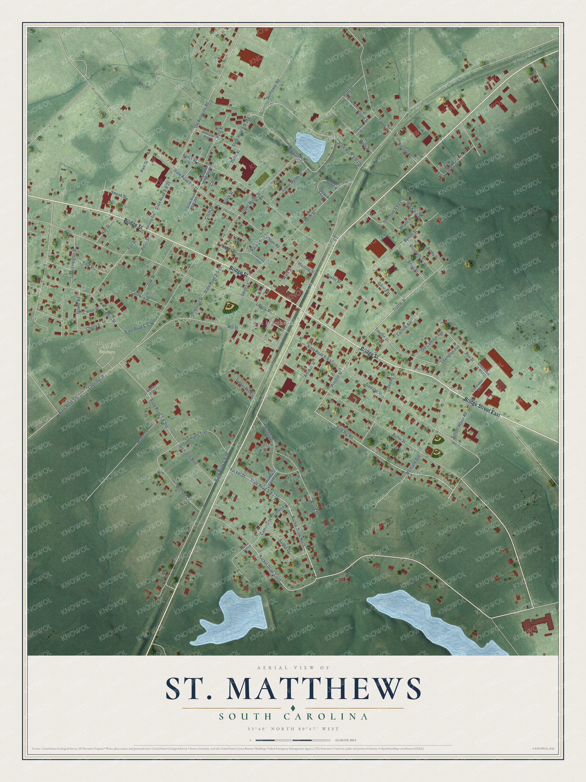
This beautifully detailed map of St. Matthews, South Carolina was created in 2026 using aerial imagery combined with modern topographical, census, street and landmark data. It’s a one-of-a-kind view of St. Matthews that combines accurate data with a vintage aesthetic. The map shows every building in its true location, many of the roads carry their names, and the shaded topographic relief shows the shape of the land.
Explore an aerial view of St. Matthews, South Carolina
On the map you’ll find West End Cemetery, along with Bridge Street East, Bridge Street, Pine Hill Road, State Road S-9-224, Preston Street, Rucker Drive, Trotter Street, Camella Drive, Milligan Circle, State Road S-9-104, Pou Street, and more. If you look closely you can even find your house accurately drawn in its correct location. Zoom in on the preview to look for yours.
Did you know this piece of St. Matthews, South Carolina history?
From the South Carolina Picture Project: "The small town of St. Matthews was originally called Lewisville, in honor of Colonel Lewis, a distinguished land owner living in the area. Lewisville eventually became St. Matthews, in honor of the old St. Matthew’s Parish which eventually became Calhoun County."
Take a closer look at the St. Matthews map
Street and place names on the St. Matthews, South Carolina map
These names are printed on the map of St. Matthews, South Carolina.
Places: Saint Matthews and West End Cemetery.
Streets and roads: Bridge Street East, Bridge Street, Pine Hill Road, Rucker Drive North, State Road S-9-224, Rucker Drive, Preston Street, Trotter Street, Camella Drive, Milligan Circle, State Road S-9-104, Pou Street.
More street names, A to Z
Agnes Street, Amaker Street, Ashby Street, Azalea Drive, Baxter Street, Bin Site Road, Brook Drive, Butler Street, Buyck Street, Bynum Street, Calhoun Road, Camellia Drive, Carlisle Avenue, Carr Street, Catawba Street, Center Street, Cherry Street, Chestnut Street, Church Street, Circle Drive, Clarendon Avenue, Dantzler Street, Davis Street, Depot Road, Dudley Street, Elizabeth Street, Emily Street, Fair Street, Flagler Street, Flower Road, Forest Drive, Gilford Street, Goshen Drive, Gressette Boulevard, Hall Street, Haynes Street, Hayne Street, Herlong Avenue, Hungerpiller Street South, Independence Street, Jackson Trail, Johnson Avenue, Keitt Street, Keller Street, Lands End Lane, Lexington Avenue, Liberty Street, Lower Muller Street, Lucille Street, Mack Hill Street, Mack Street, Magnolia Street, Manor Lane, Means Street, Meeting Street, Mill Street, Mitchell Circle, Molly Street, Mountain Laurel Lane, Oak Street, Old Belleville Road, Old Calhoun Avenue, Oriole Circle, Paris Lane, Park Street, Pearl Street, Pool Circle, Reid Street, Richland Avenue, Rucker Drive South, Samuels Trail, School House Road, Scott Street, Smith Lane, Smoak Street, State Road S-9-21, State Road S-9-22, State Road S-9-24, State Road S-9-46, State Road S-9-47, State Road S-9-63, State Road S-9-83, State Road S-9-96, State Road S-9-162, State Road S-9-269, State Road S-9-288, State Road S-9-331, State Road S-9-345, Sunflower Road, Taylor Street, Treutlin Street, Tucker Mill Circle, Turkey Heights Street, Upper Muller Street.
See the St. Matthews, South Carolina map on a wall
The St. Matthews map as an 18 x 24 inch print in a black frame.

This beautifully detailed map of St. Matthews makes an attractive addition to your office, library, or den, and it can even be used to teach children the geography and history of the area. It also makes a great gift for anyone with St. Matthews roots. When you’re done exploring, click here to get your copy of the St. Matthews map.