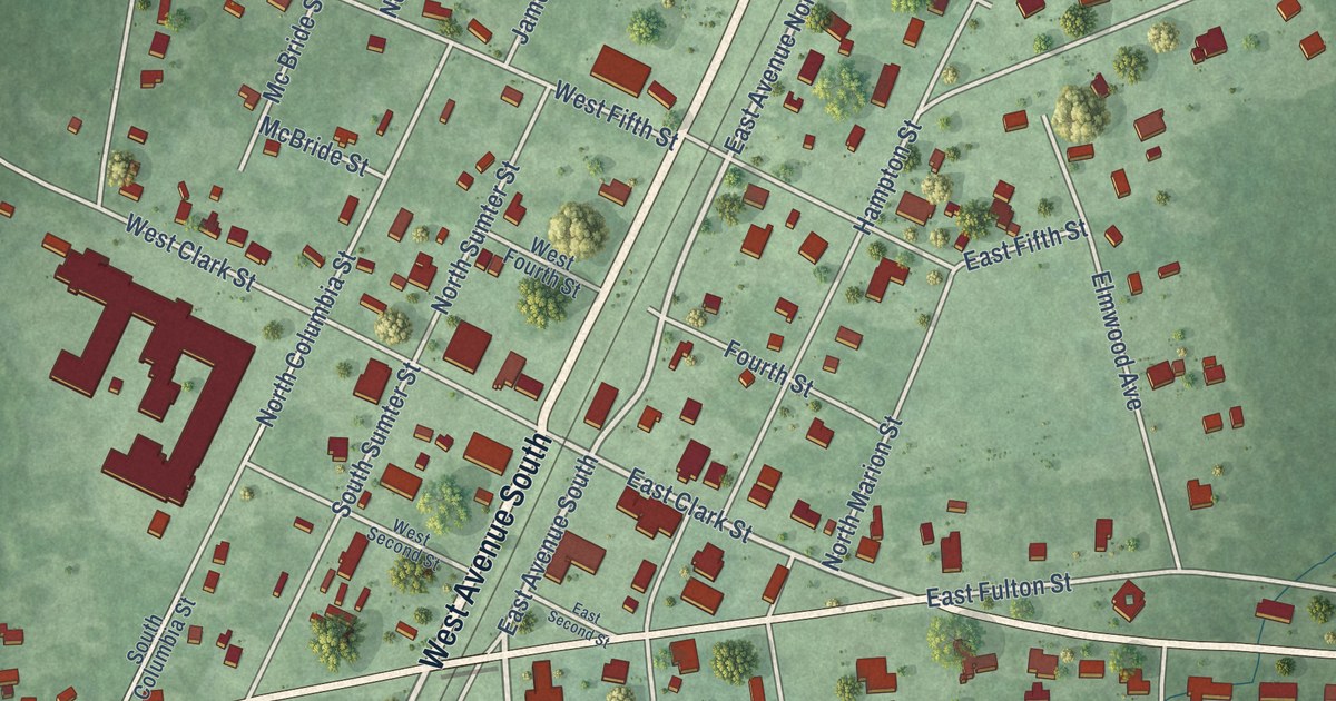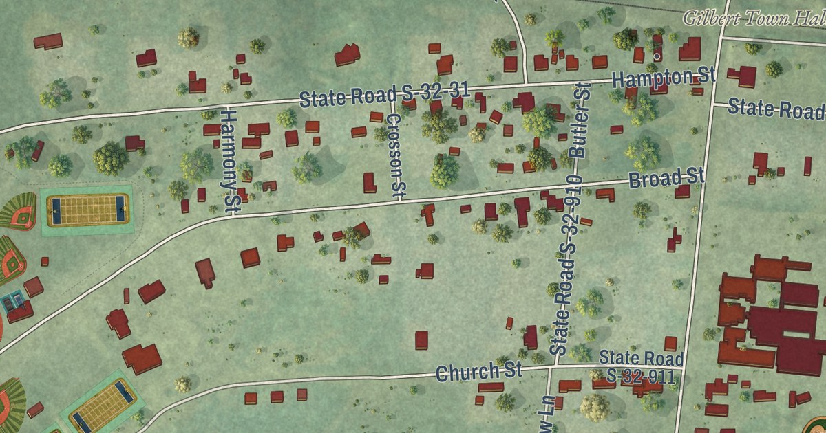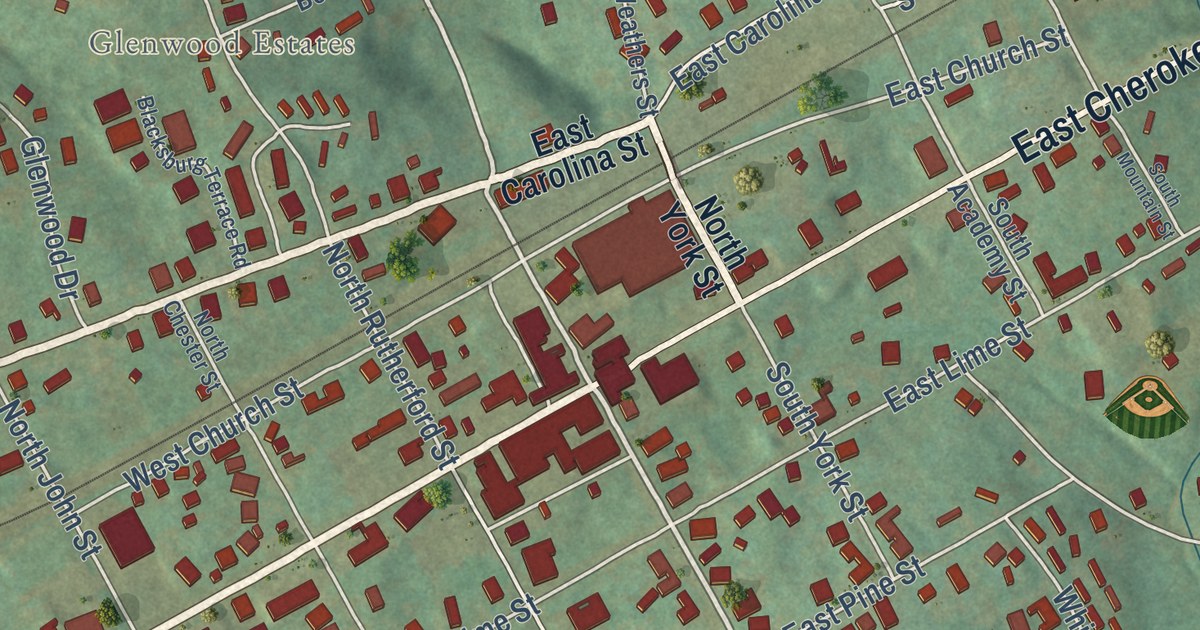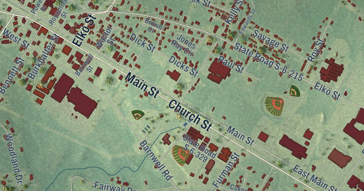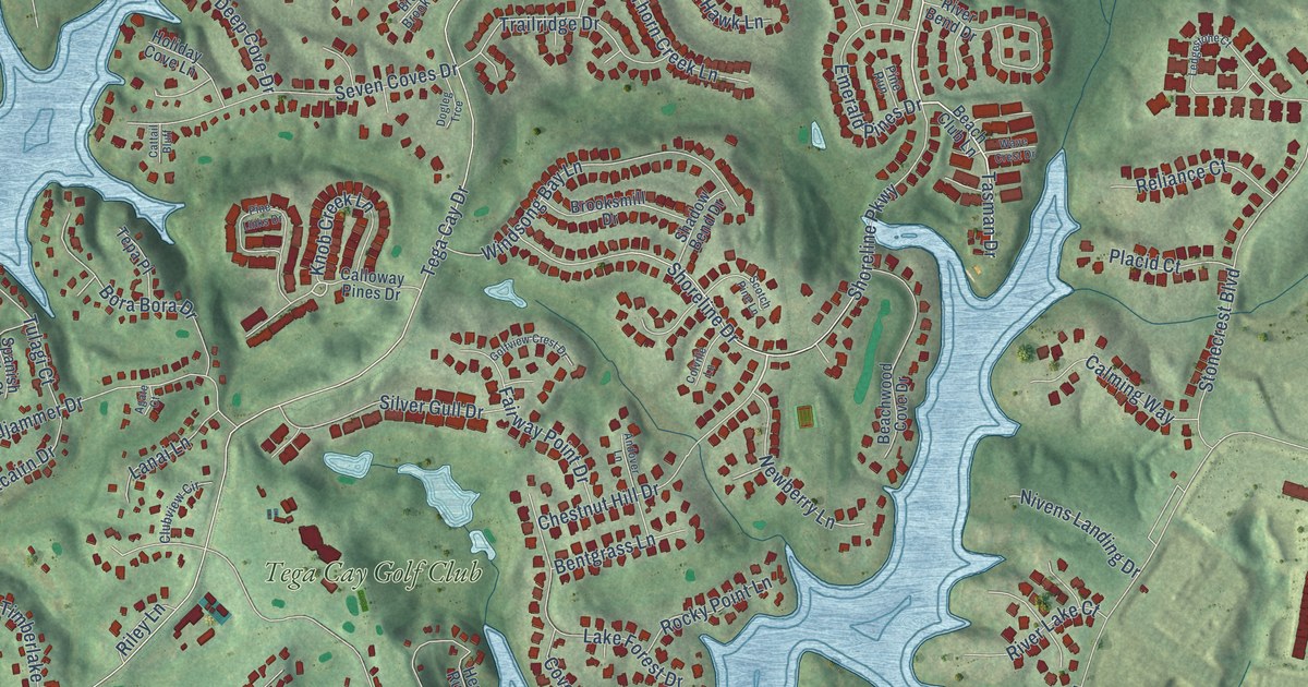
This beautifully detailed map of Tega Cay, South Carolina was created in 2026 using aerial imagery combined with modern topographical, census, street and landmark data. It’s a one-of-a-kind view of Tega Cay that combines accurate data with a vintage aesthetic. The map shows every building in its true location, many of the roads carry their names, and the shaded topographic relief shows the shape of the land.
Explore an aerial view of Tega Cay, South Carolina
On the map you’ll find Tega Cay City Hall, Catawba Park, Turner Park, Runde Park, Grey Rock, and Tega Cay Golf Club, along with Steele Creek Road, Windsong Bay Lane, Point Clear Drive, Tasman Drive, Tega Cay Drive, Dam Road, and more. If you look closely you can even find your house accurately drawn in its correct location. Zoom in on the preview to look for yours.
Did you know this piece of Tega Cay, South Carolina history?
From Scencyclopedia.org: "The unique landscape blends a mountainlike atmosphere with a man-made lake created in 1904, when the Catawba River was dammed by Duke Power at India Hook Shoals."
Take a closer look at the Tega Cay map
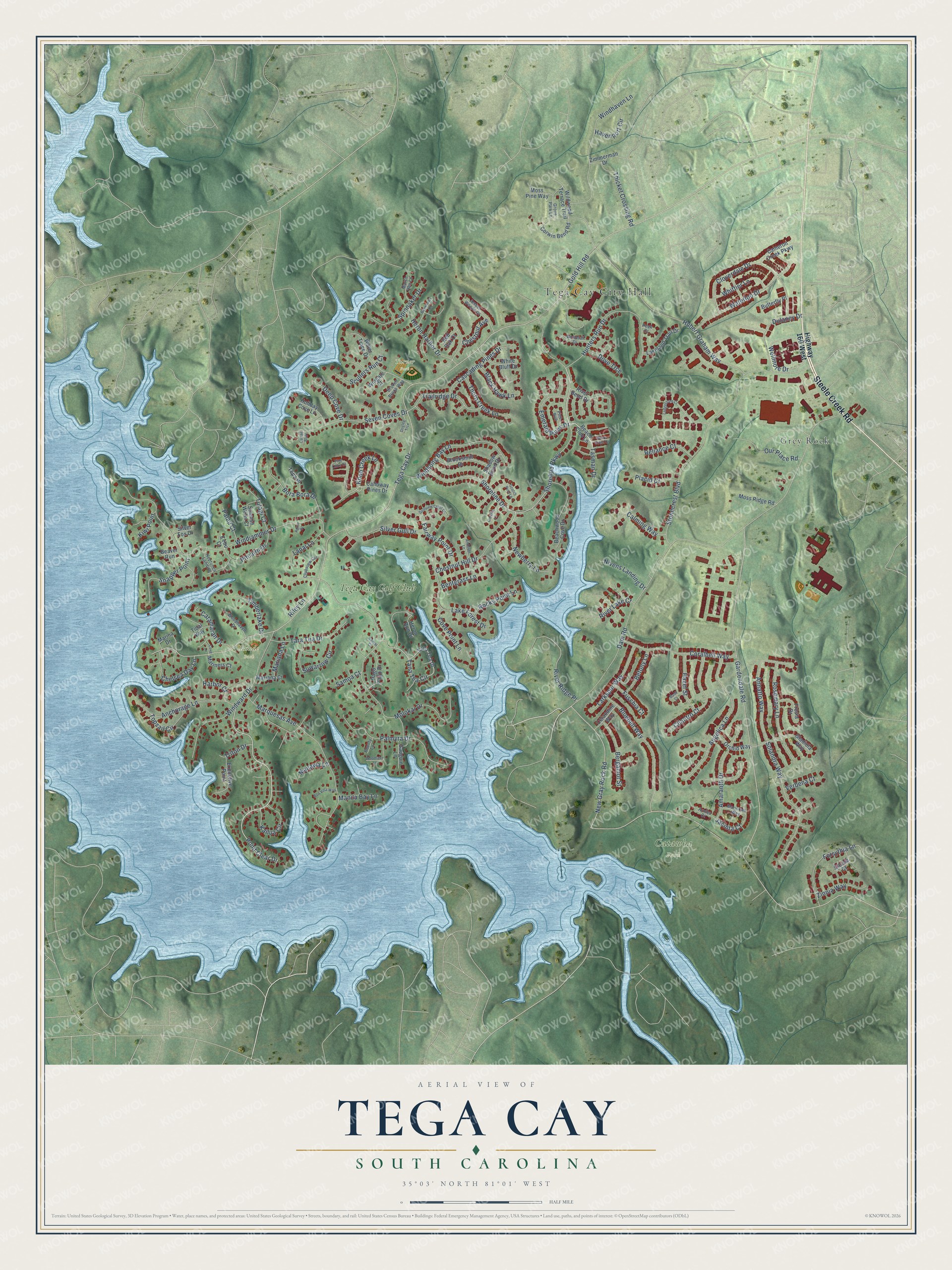
Street and place names on the Tega Cay, South Carolina map
These names are printed on the map of Tega Cay, South Carolina.
Places: Tega Cay City Hall, Catawba Park, Turner Park, Runde Park, Grey Rock and Tega Cay Golf Club.
Streets and roads: Steele Creek Road, Windsong Bay Lane, Point Clear Drive, Tasman Drive, Tega Cay Drive, Dam Road, New Gray Rock Road, Gardendale Road, Molokai Drive, Shoreline Parkway, Windjammer Drive, Stonecrest Boulevard.
More street names, A to Z
Agate Court, Amaranth Drive, Amber Woods Drive, Anchorage Lane, Andover Lane, Angelica Lane, Annatto Way, Arnica Court, Basil Court, Baywoods Drive, Beach Club Lane, Beachwood Cove Drive, Beaver Run, Bentgrass Lane, Bergamot Street, Betony Lane, Black Hawk Lane, Bluebell Way, Bon Villa Way, Bora Bora Drive, Bounty Lane, Broken Brook Way, Brooksmill Drive, Butterfly Place, Calloway Pines Drive, Calming Way, Cameron Creek Parkway, Cascading Pines Drive, Cassia Court, Catamaran Drive, Cattail Bluff, Cebu Court, Celandine Way, Chelsea Day Lane, Chestnut Avenue, Chestnut Hill Drive, Cilantro Court, Cloverdale Drive, Clubview Circle, Colville Lane, Coralbell Way, Corwin Bend Road, Cove Lane, Cove Point Lane, Deep Cove Drive, Dogleg Trce, Dove Trce, Dulaney Drive, Emerald Pines Drive, Executive Point, Fairway Point Drive, Forsythia Lane, Fresia Drive, Fuschia Court, Gauguin Lane, Gladiola Way, Gold Hill Road, Golfview Crest Drive, Grove Park Lane, Harbor Court, Havenport Circle, Hazel Street, Heron Harbor Drive, Heron Run Drive, Highway 160 West, Holiday Cove Lane, Hubert Graham Way, Hunters Run Drive, Jacinta Court, Kailua Circle, Kiwi Point, Knob Creek Lane, Lake Forest Drive, Lakeland Trail Drive, Lanai Lane, Larkspur Way, Ledgestone Court, Manawa Lane, Manila Bay Lane, Mariana Court, Mariana Lane, Marina Drive, Mariners Court, Marjoram Way, Marquesas Avenue, Marsh Hen Lane, Moss Pine Way, Moss Ridge Road, Neptunes Landing, Newberry Lane, Nivens Landing Drive, Orchid Way, Our Place Road, Pago Pago Drive, Palau Court, Palmyra Drive, Peak Court, Pine Links Drive, Pine Run, Pitcairn Drive, Placid Court, Red Oak Court, Reliance Court, Riley Lane, River Bend Drive, River Lake Court, River Ridge Place, Rocky Point Lane, Rosemary Lane, Samar Court, Samoa Court, Scotch Pine Lane, Scullers Run Court, Seven Coves Drive, Shadow Bend Drive, Shoreline Drive, Silver Fox Drive, Silver Gull Drive, Snapper Point, Solandra Way, Spanish Wells Court, Spinnaker Drive, Suwarrow Circle, Tana Tea Circle, Tana Tea Drive, Tara Tea Drive, Tepa Place, Thicket Crossing Road, Thorn Creek Lane, Tidal Way, Timberlake Drive, Topsail Circle, Trailridge Drive, Triton Drive, Tulagi Court, Verbena Court, Waterloo Drive, Water Trace Drive, Wave Crest Drive, Wellmore Drive, White Bluff Drive, Whitetail Drive, Whittier Lane, Wildwood Terrace Trail, Windhaven Lane, Windward Drive, Wingate Court, Woodhaven Drive, Woodlake Lane, Zimmerman Drive, Zinnia Way.
See the Tega Cay, South Carolina map on a wall
The Tega Cay map as an 18 x 24 inch print in a black frame.

This beautifully detailed map of Tega Cay makes an attractive addition to your office, library, or den, and it can even be used to teach children the geography and history of the area. It also makes a great gift for someone who left Tega Cay and still calls it home. When you’re done exploring, click here to get your copy of the Tega Cay map.