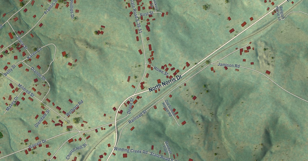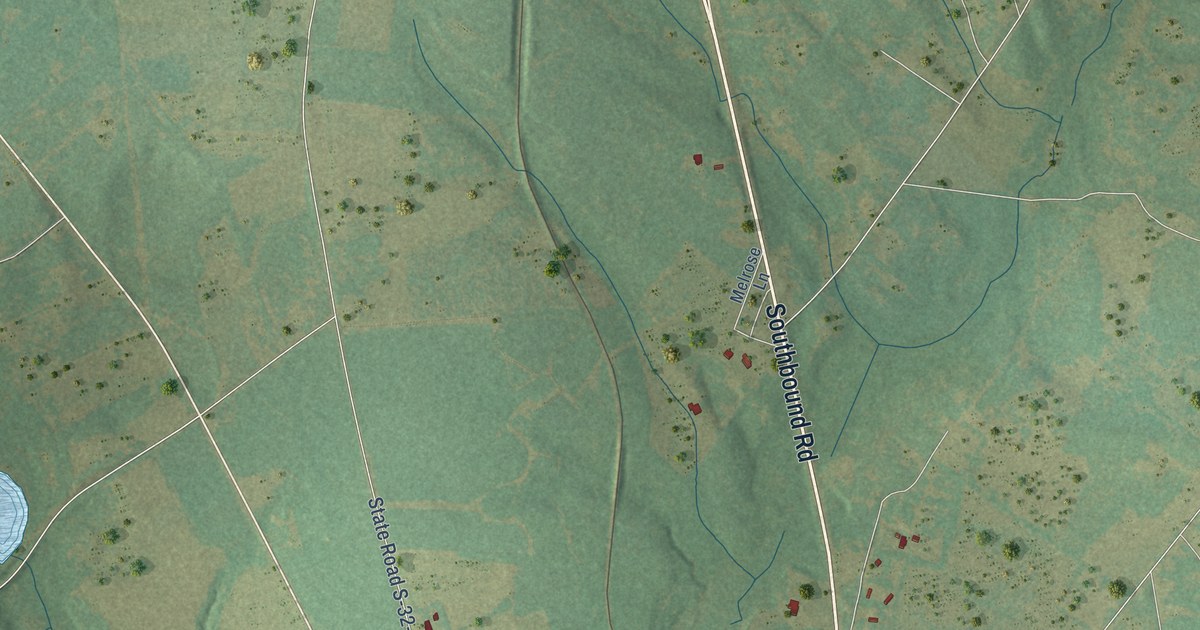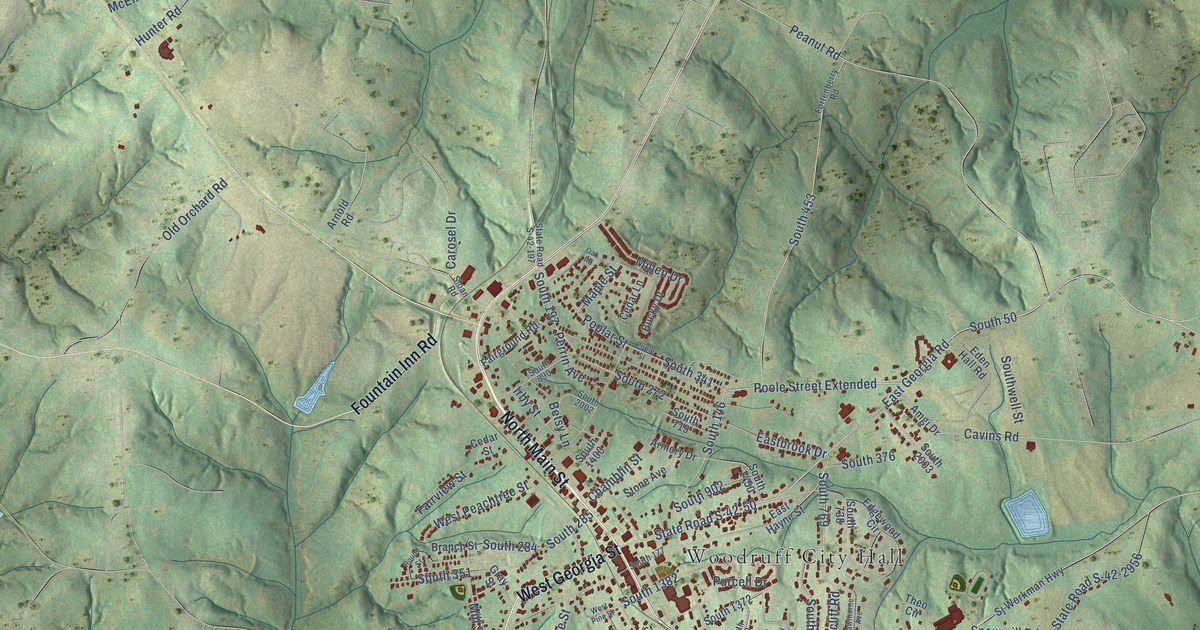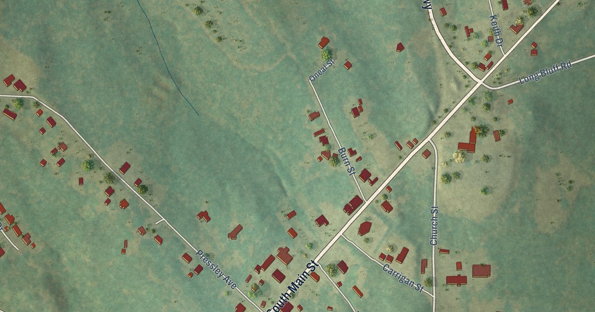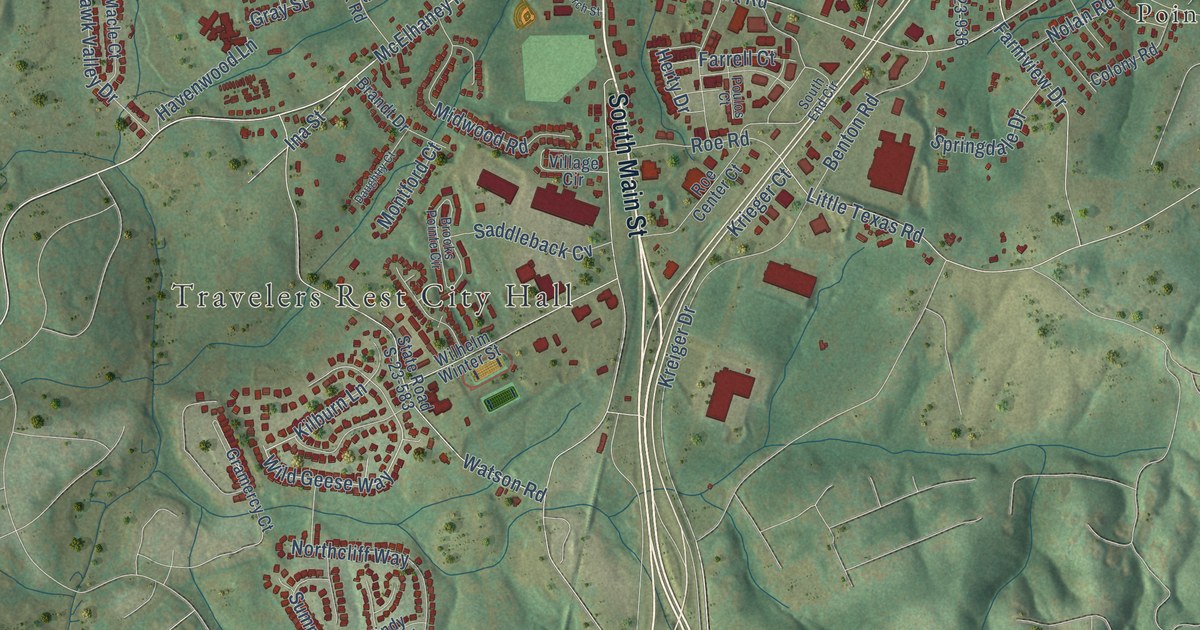
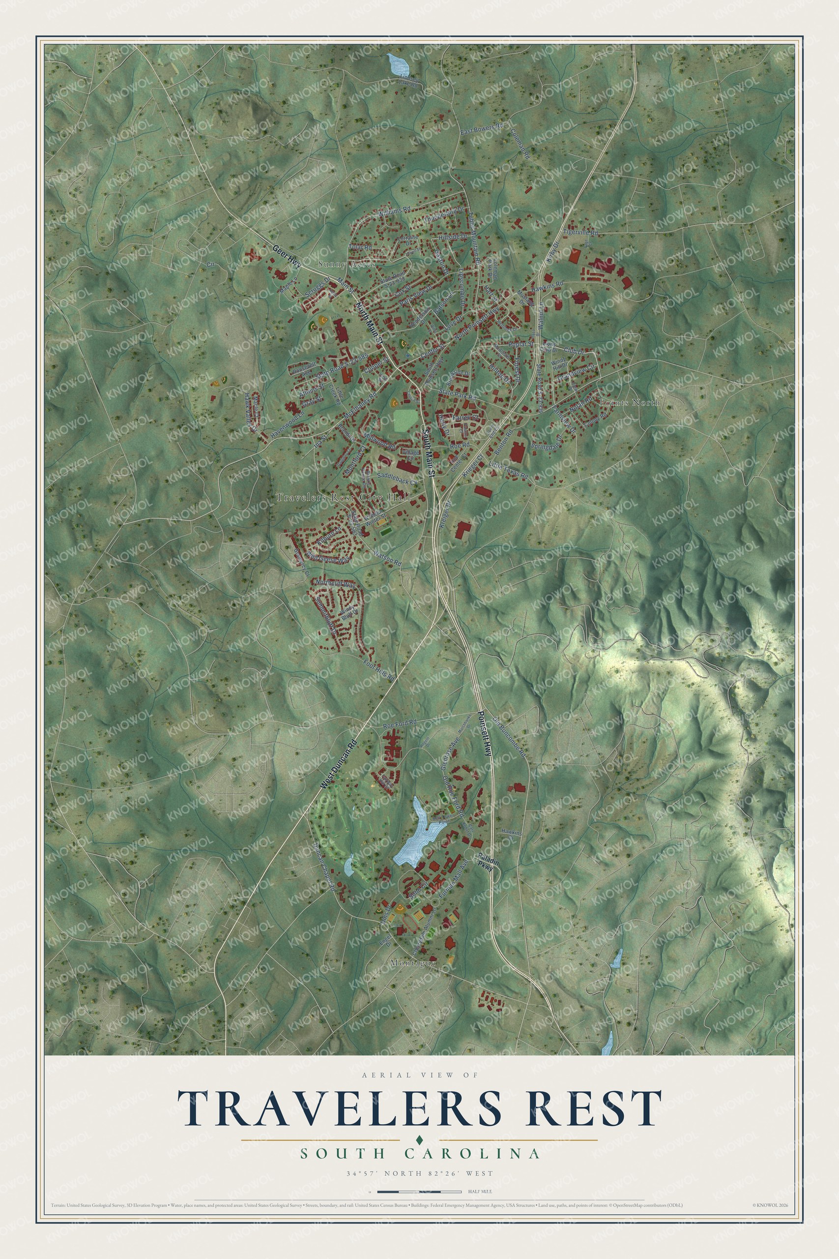
This beautifully detailed map of Travelers Rest, South Carolina was created in 2026 using aerial imagery combined with modern topographical, census, street and landmark data. It's a modern aerial view of Travelers Rest in Greenville County, South Carolina, that combines modern data with a vintage aesthetic. The roads feature printed names, and if you look closely you can find your exact house accurately shown in its correct location.
Explore an aerial view of Travelers Rest, South Carolina
On this map you'll find Travelers Rest City Hall, Montague, Points North, Sunny Acres, South Main Street, West Duncan Road, North Main Street, Poinsett Highway, Geer Highway, McElhaney Road, Grandview Circle, Old Buncombe Road, and more. Each red shape is a building, so zoom in on the preview and look for yours.
Travelers Rest has a story worth telling. The record at scencyclopedia.org puts it this way: "The Travelers Rest post office was established in 1808 to serve the largely farming community, and the mail was delivered by stage, which ran from Asheville, North Carolina, to Greenville."
Travelers Rest is a city in Greenville County. The Census Bureau counted 7,788 people here in 2020.
Take a closer look at the Travelers Rest map
Names on this map
These names are printed on this map.
Places: Travelers Rest City Hall, Montague, Points North and Sunny Acres.
Streets and roads: South Main Street, West Duncan Road, North Main Street, Poinsett Highway, Geer Highway, McElhaney Road, Grandview Circle, Old Buncombe Road, Club Drive, Wild Geese Way, Center Street, Duncan Chapel Road.
More street names, A to Z
Athens Street, Batson Lane, Bell Tower Point, Benton Road, Brandt Drive, Brookside Drive, Brooks Pointe Circle, Carl Kohrt Drive, Cherrydale Alumni Lane, Church Street, Circle, Coleman Park Drive, Coleman Road, Colony Road, Cooper Street, Cox Street, Daughtry Court, Dins Drive, East Bowers Road, Engel Drive, Fairway Hill Court, Farmview Drive, Farrell Court, Foot Hills Road, Forest Drive, Furman Mall Avenue, Gaston Drive, Glenrose Avenue, Gramercy Court, Gray Street, Hart Street, Havenwood Lane, Hawkins Court, Hawkins Road, Hawk Valley Drive, Hemlock Drive, Henderson Drive, Herty Drive, Hillside Drive, Hilltop Drive, Ina Street, Kelby Street, Kilburn Lane, Kirby Drive, Kreiger Drive, Krieger Court, Lindsey Lake Road, Lions Club Drive, Lipscombe Drive, Little Creek Road, Little Texas Road, Lorraine Drive, Love Drive, Lowell Street, Macle Court, Main Street, Maple Lane, Marchbanks Drive, McAllister Street, Midwood Road, Montford Court, Mustang Drive, Nolan Road, Northcliff Way, North Poinsett Highway, Old Roe Ford Road, Page Court, Paladin Parkway, Paris View Drive, Plaza Drive, Poplar Street, Poulos Court, Regent Drive, Roe Center Court, Roe Ford Road, Roe Road, Roosevelt Avenue, Saddleback Cv, Scruggs Drive, Soho Circle, South End Circle, South Poinsett Highway, Springdale Drive, State Park Road, State Road S-23-583, State Road S-23-585, State Road S-23-933, State Road S-23-936, Summitbluff Drive, Thunderbird Drive, Tigerville Road, Tolar Road, Tubbs Mountain Road, Vest Street, View Drive, Village Circle, Walnut Lane, Watson Road, Wilhelm Winter Street, Williams Road, Willis Street, Windy Bluff Drive, Windy Hill Drive.
Created by KNOWOL in 2026. The buildings are small red shapes, the roads carry their printed names, and shaded relief shows the shape of the land. The title panel reads "AERIAL VIEW OF TRAVELERS REST SOUTH CAROLINA" with 34°57' NORTH 82°26' WEST.
It looks right in a kitchen, an office or a den, and it's a gift for anyone who grew up in Travelers Rest or moved away. Open the preview and find your street. See sizes and frames for the Travelers Rest map.