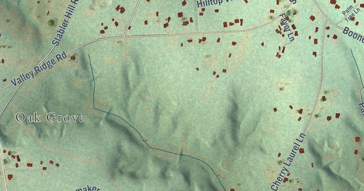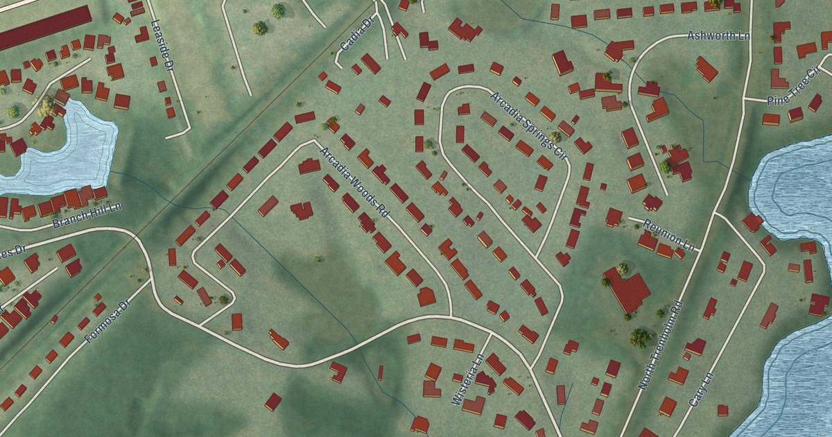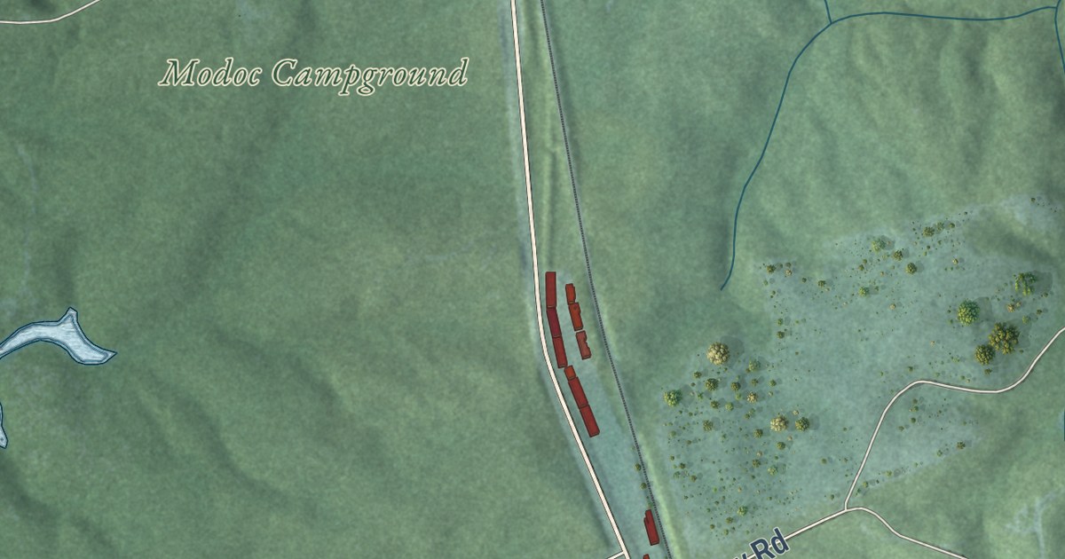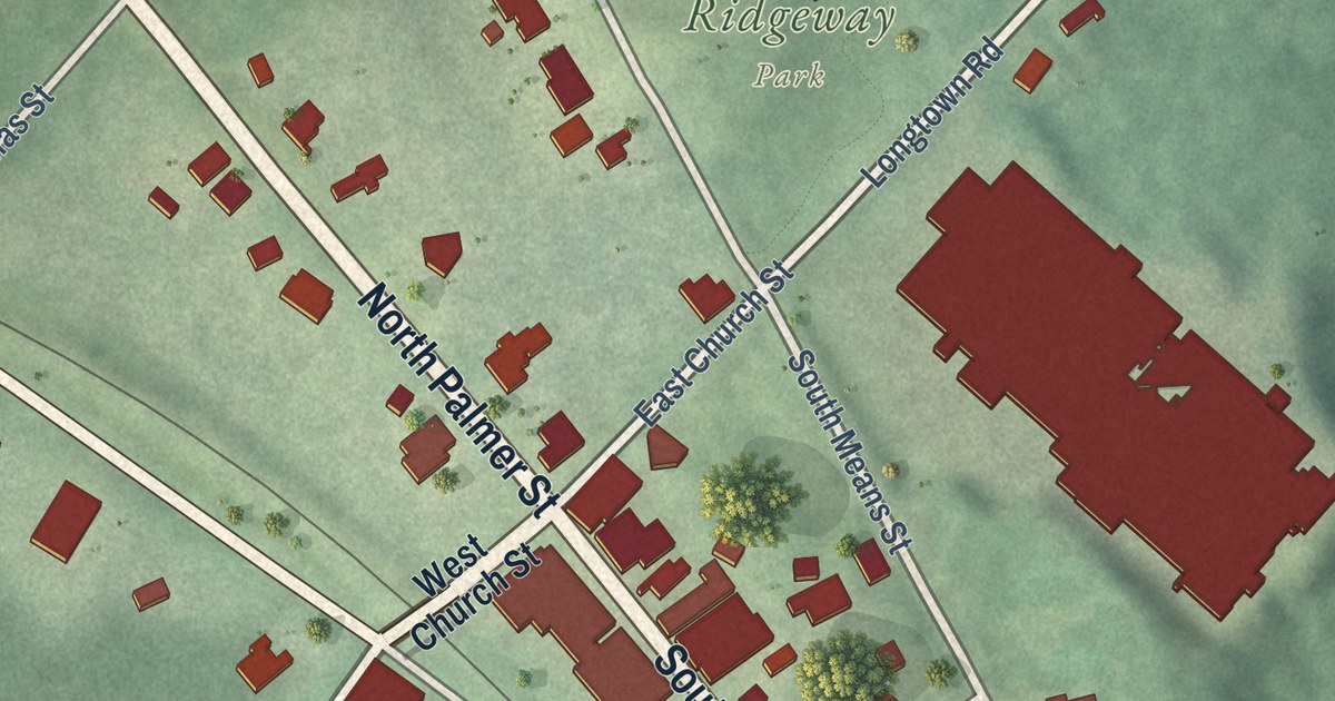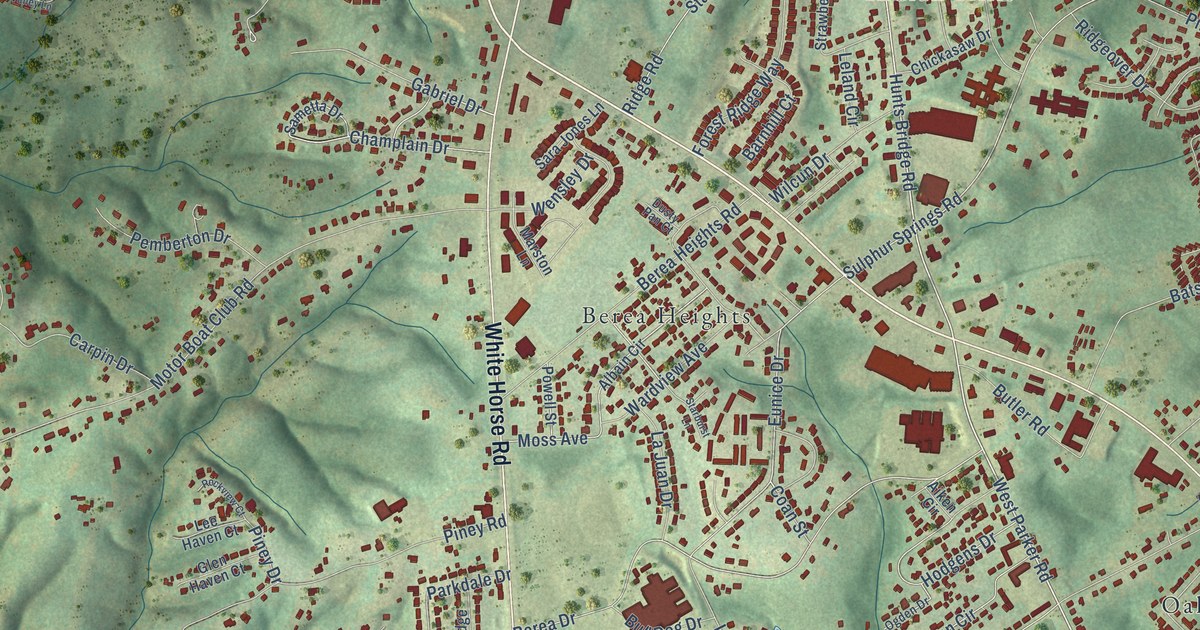
This beautifully detailed map of Berea, South Carolina was created in 2026 using aerial imagery combined with modern topographical, census, street and landmark data. It’s a one-of-a-kind view of Berea that combines accurate data with a vintage aesthetic. The map shows every building in its true location, many of the roads carry their names, and the shaded topographic relief shows the shape of the land.
Explore an aerial view of Berea, South Carolina
On the map you’ll find Berea Forest, Berea Heights, Dellhaven, Enchanted Forest, Farmington Acres, Indian Hills, Oak Hills, Sharon Park, Sunny Acres, Westcliffe, Western Hills, White Horse Heights, and more. If you look closely you can even find your house accurately drawn in its correct location. Zoom in on the preview to look for yours.
Did you know this piece of Berea, South Carolina history?
From the South Carolina Picture Project: "The community of Berea, which sits at the base of Parris Mountain, opened its first school in 1885 on White Horse Road."
Take a closer look at the Berea map
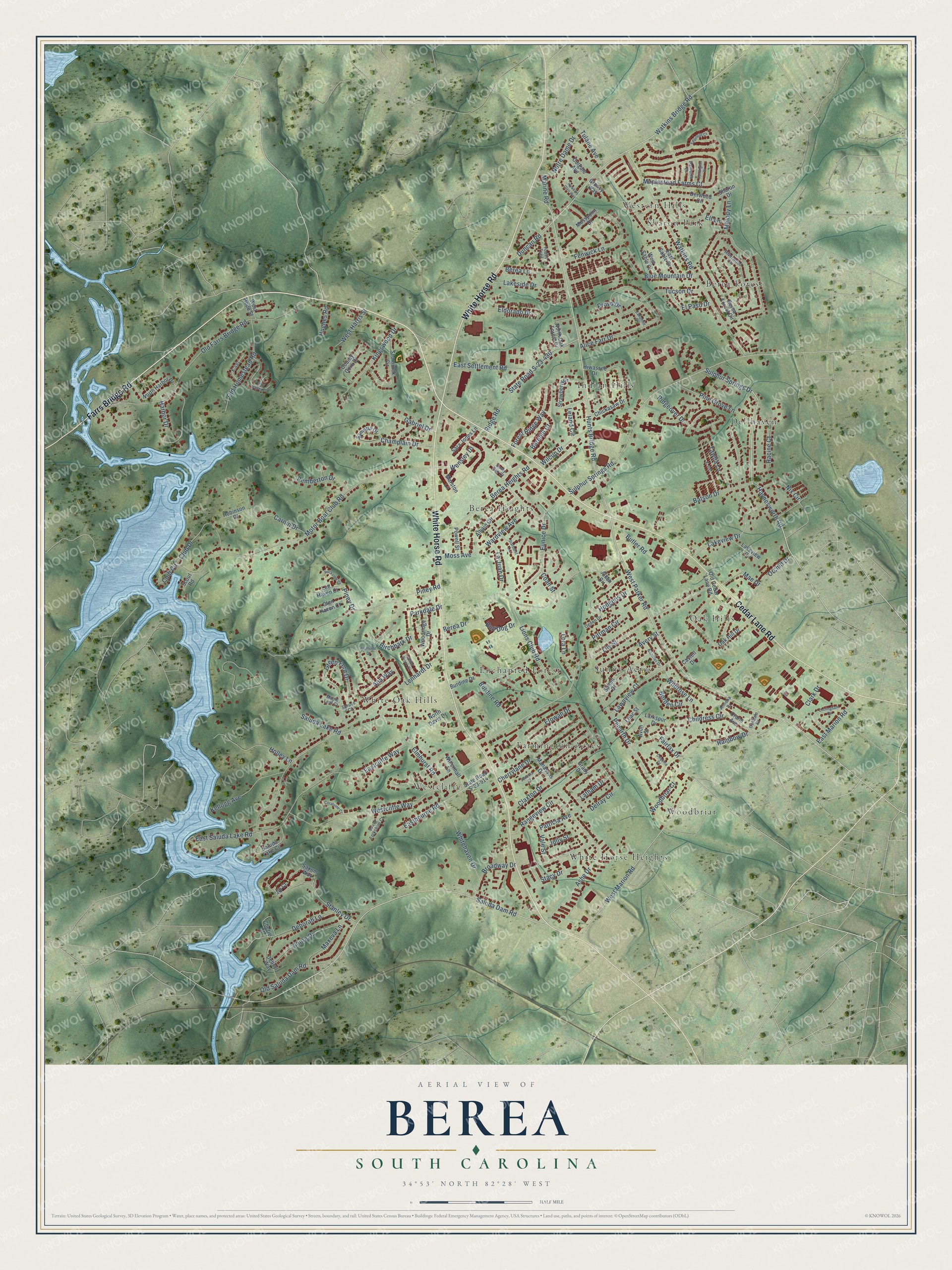
Street and place names on the Berea, South Carolina map
These names are printed on the map of Berea, South Carolina.
Places: Berea Forest, Berea Heights, Dellhaven, Enchanted Forest, Farmington Acres, Indian Hills, Oak Hills, Sharon Park, Sunny Acres, Westcliffe, Western Hills, White Horse Heights, White Oak Hills and Woodbriar.
Streets and roads: Farrs Bridge Road, White Horse Road, Cedar Lane Road, West Parker Road, Sulphur Springs Drive, Haynesworth Road, Saluda Dam Road, Hunts Bridge Road, Duncan Road, Rainbow Drive, Saluda Lake Road, Motor Boat Club Road.
More street names, A to Z
Aiken Circle, Albain Circle, Alice Farr Drive, Almena Drive, Apa Way, Ashe Drive, Avery Street, Avon Street, Barnhill Court, Batson Drive, Berea Drive, Berea Forest Circle, Berea Heights Road, Berea Lane, Birchbark Drive, Blue Mountain Drive, Bluffside Drive, Borden Circle, Broadway Drive, Bull Dog Drive, Burdine Drive, Burdine Road, Butler Road, Carpin Drive, Castell Drive, Cedar Brook Court, Champlain Drive, Cherie Court, Cherrylane Drive, Chickasaw Drive, Childress Circle, Clark Drive, Claxton Drive, Club Circle, Club Drive, Coan Street, Colgate Avenue, Coquina Court, Coralvine Court, Cottingham Circle, County Cork Drive, Crane Avenue, Danforth Drive, Deborah Lane, Debsyl Way, Delray Circle, Derwood Circle, Dusty Pan Court, Eastbourne Road, Eastcliffe Way, East Marion Road, East Sable Court, East Saluda Lake Road, East Settlement Road, Edgehilll Court, Eldorado Drive, Elf Lane, Elmhurst Road, El Paso Drive, Etowah Drive, Eunice Drive, Fairfax Drive, Fenwick Lane, Fern Valley Lane, Forest Ridge Way, Gabriel Drive, Glen Haven Court, Grady Drive, Green Fern Drive, Groovy Way, Harbor Drive, Hawkins Glen Way, Hiwassee Drive, Hodgens Drive, Holley Lane, Hughes Road, Jib Court, Jolly Street, K-400, K-491, Kellogg Avenue, Kingswood Drive, La Juan Drive, Lakeside Drive, Lakeview Circle, Lakeview Drive, Laramie Drive, Larkspur Drive, Latham Drive, Lawnview Court, Lee Haven Court, Leland Circle, Lenhardt Drive, Lilac Street, Lily Street, Lions Club Road, Lora Lane, Mae Drive, Manassas Drive, Maple Leaf Court, Maplestead Farms Court, Marine Road, Marston Lane, Maxeva Lane, Melody Lane, Moss Avenue, Mosspoint Drive, Nicholas Drive, Nix Circle, North Davis Drive, North Harbor Drive, North Oak Forest Drive, Notre Dame Drive, Oakdale Drive, Oak Hill Drive, Ogden Drive, Old Cedar Lane Road, Old Farrs Bridge Road, Old Homestead Road, Old Saluda Dam Road, Orchid Drive, Parkdale Drive, Patricia Avenue, Pemberton Drive, Penarth Drive, Pine Grove Lane, Piney Drive, Piney Road, Pittman Circle, Powell Street, Provo Drive, Racine Court, Rangeview Circle, Ridgeover Drive, Ridge Road, Riverwood Circle, Robinson Court, Rockview Court, Salem Court, Saluda Lake Circle, Sametta Drive, Sara Jones Lane, Saxum Way, Scout Road, Shamrock Circle, Sharon Drive, Shore Drive, Shubuta Court, South Folkshire Court, Spruce Court, Stacy Drive, Stanley Drive, Starburst Lane, State Road S-23-430, State Road S-23-914, Strawberry Drive, Sulphur Springs Road, Tawba Lane, Todds Trail, Torrington Drive, Tucson Drive, Tulane Avenue, Vale Street, Wardview Avenue, Watkins Bridge Road, Watkins Road, Wensley Drive, Westcliffe Way, West Harris Street, West Hope Street, West Marion Road, West Sable Court, Whitehaven Drive, Wilcun Drive, Wildrose Lane, Willenhall Lane, Woodbriar Court, Woodridge Drive.
See the Berea, South Carolina map on a wall
The Berea map as an 18 x 24 inch print in a black frame.

This beautifully detailed map of Berea makes an attractive addition to your office, library, or den, and it can even be used to teach children the geography and history of the area. It also makes a great gift for someone who left Berea and still calls it home. When you’re done exploring, click here to get your copy of the Berea map.