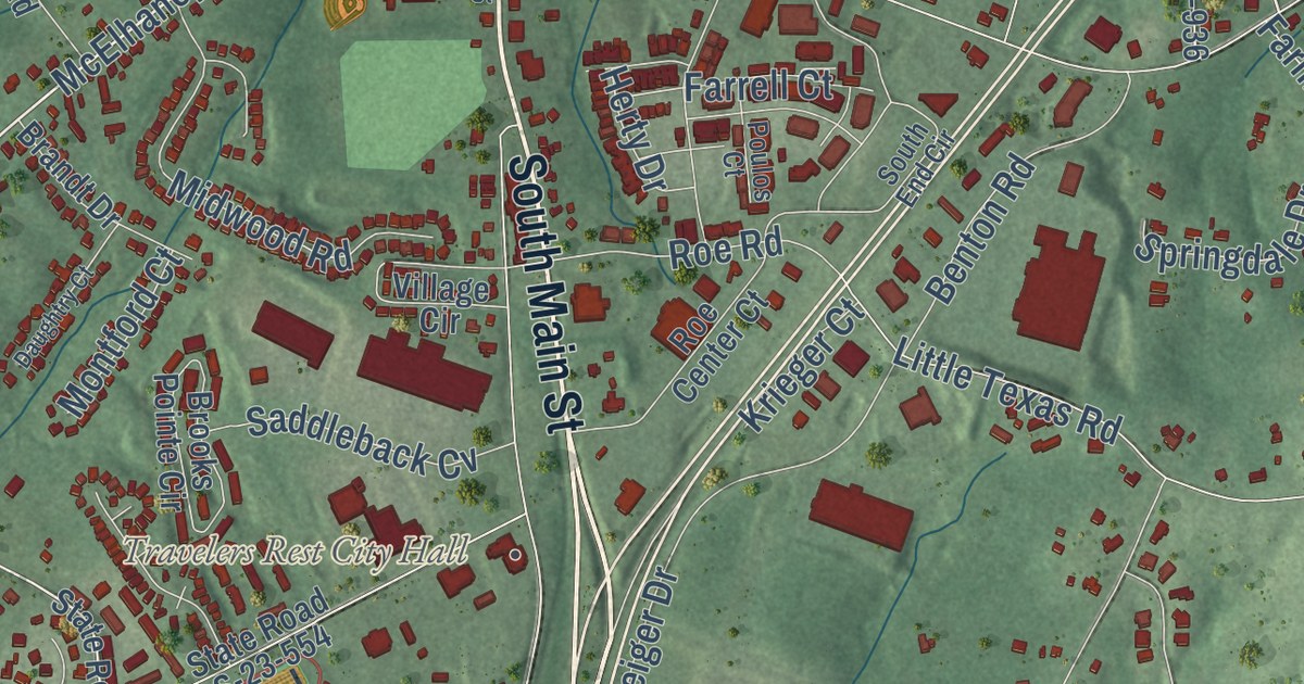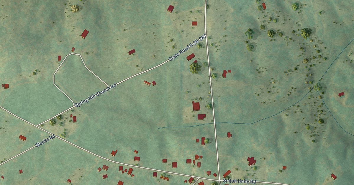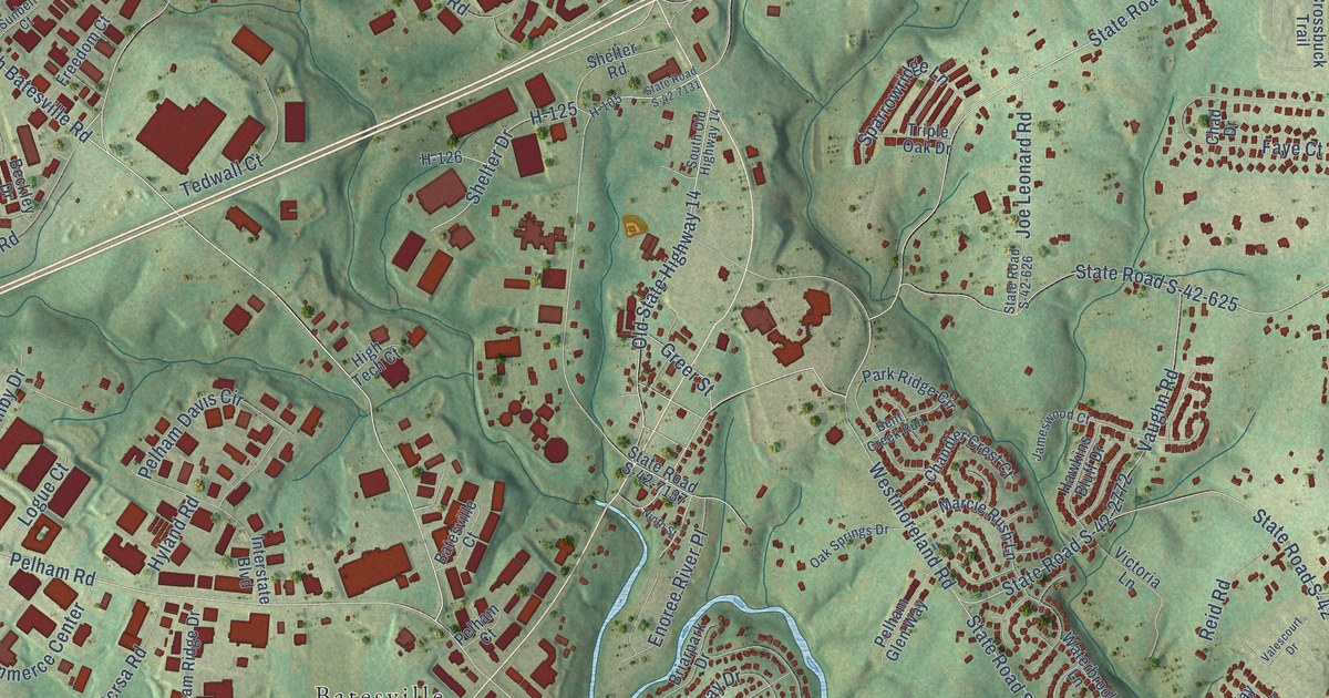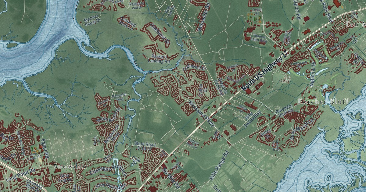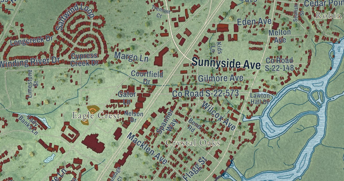
This beautifully detailed map of Murrells Inlet, South Carolina was created in 2026 using aerial imagery combined with modern topographical, census, street and landmark data. It’s a one-of-a-kind view of Murrells Inlet that combines accurate data with a vintage aesthetic. The map shows every building in its true location, many of the roads carry their names, and the shaded topographic relief shows the shape of the land.
Explore an aerial view of Murrells Inlet, South Carolina
On the map you’ll find Robin Hood, Sunny Side, Crystal Oaks, Captains Cove, Carriage Run, Eagle Crest, Huntington Marsh, Inlet Oaks Village, Live Oaks, Moss Creek, Oak Hill, Richmond Hill, and more. If you look closely you can even find your house accurately drawn in its correct location. Zoom in on the preview to look for yours.
Did you know this piece of Murrells Inlet, South Carolina history?
From the South Carolina Encyclopedia: "Located twenty-two miles up the Waccamaw Neck from Georgetown, Murrells Inlet first appeared on maps from the early 1800s as either Murray’s Inlet or Morrall’s, the latter after John Morrall, who purchased 610 acres on the inlet in 1731."
Take a closer look at the Murrells Inlet map
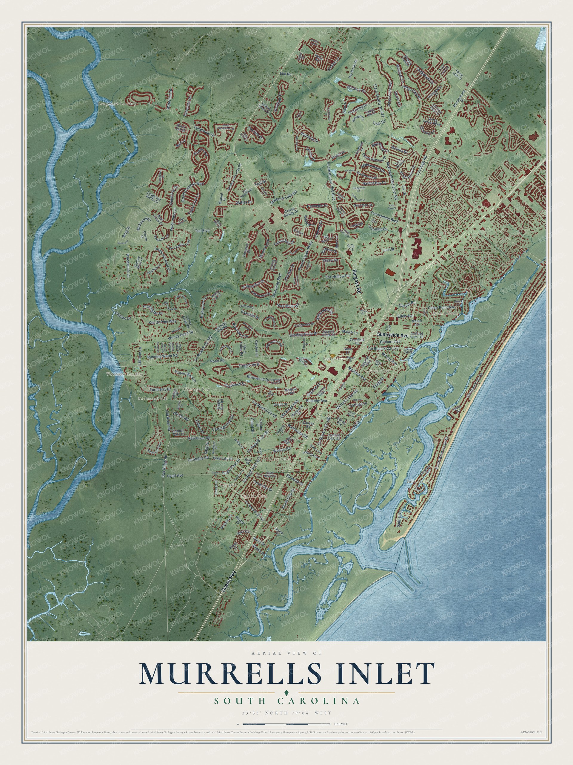
Street and place names on the Murrells Inlet, South Carolina map
These names are printed on the map of Murrells Inlet, South Carolina.
Places: Robin Hood, Crystal Oaks, Longwood Landing, Wachesaw Landing, Inlet Harbor, Carriage Run, Live Oaks, Oak Hill, Eagle Crest, Richmond Hill and Captains Cove.
Streets and roads: Burgess Road, Sunnyside Avenue, Ocean Highway, County Road S-22-392, Oak Ridge Road, Carolina Drive, Frontage Road, Old Kings Highway, South First Street, Highwood Circle, Burr Circle, County Road S-22-573.
More street names, A to Z
Alston Place, Avalon Court, Bahama Drive, Bandage Court, Basin Terrace, Bear Creek Loop, Belin Drive, Bellamy Avenue, Bend Road, Berg Street, Berkeley Court, Black Oak Drive, Botany Loop, Brookside Drive, Brown Bark Lane, Bumble Circle, Cabot Street, Camp Hill Circle, Canborough Lane, Carolina Oaks Drive, Caroline Court, Carriage Run Circle, Carson Road, Cascade Drive, Castlebridge Drive, Castle Pines Lane, Causey Road, Cedar Point Avenue, Chenoa Drive, Cherry Blossom Drive, Chicory Lane, Collins Avenue, Collins Creek Drive, Collins Creek Road, Collins Glenn Drive, Cone Court, Conifer Lane, Coquina Avenue, Coral Bay Drive, Cottage Drive, County Road S-22-62, County Road S-22-65, County Road S-22-114, County Road S-22-148, County Road S-22-188, County Road S-22-277, County Road S-22-391, County Road S-22-752, Courtfield Drive, Cowart Street, Craven Swamp Drive, Creek Drive, Creek Harbour Circle, Curran Street, Cypress Creek Drive, Cypress Estates Drive, Daphne Lane, Day Break Road, Deep Lake Drive, Deer Path Drive, Dreamland Drive, Eagle Pass Drive, Eden Avenue, Edgewater Drive, Edward Avenue, Eleventh Street, Elk Drive, Elm Road, Elmwood Circle, Eva Bay Drive, Firethorne Drive, Flagg Street, Four Leaf Lane, Fox Den Drive, Fox Hollow Road, Fringetree Drive, Fulton Place, Gator Lane, Gazebo Drive, Genesis Drive, Gila Court, Gilmore Avenue, Glengrove Lane, Goude Street, Grand Cypress Way, Greeneedle Place, Greenway Boulevard, Grey Moss Road, Hagar Brown Road, Harbor Bay Drive, Hawks Nest Circle, Heartland Court, Heron Lake Court, Holland Street, Horry Drive, Hunters Wood Drive, Hyacinth Loop, Hyatt Avenue, Indigo Club Drive, Indigo Creek Boulevard, Indigo Lane, International Club Boulevard, Isle of Palms Road, Jasmin Lane, Journeys End Road, Kiawah Loop, Kids Lane, Kings Grant Drive, Knotty Pine Way, Labruce Lane, Lady Banks Lane, Laurel Bay Drive, Laurel Hill Place, Lawton Hall Drive, Lee Circle, Lee Street, Leeward Lane, Lilac Place, Limestone Street, Locke Court, Lombardy Court, Longcreek Drive, Longwood Bluffs Circle, Longwood Drive, Low Country Loop, Luther Court, Macklen Avenue, Madrid Drive, Mallory Avenue, Marbella Drive, Margo Lane, Martinsville Drive, Mayfair Court, Maypop Trail, McDowell Short Cut Road, McKinney Drive, Meadowoods Drive, Medinah Lane, Melton Avenue, Merion Court, Merry Lane, Mildred Court, Molinia Drive, Montague Street, Morse Drive, Muddy Bay Drive, Murrells Inlet Road, Nautilus Drive, Nelson Drive, New River Road, North Blackmoor Drive, Nut Hatch Lane, Oak Hampton Drive, Old Murrells Inlet Road, Old River Road, Oyster Bay Drive, Oyster Cv, Painted Bunting Drive, Painted Fern Court, Palmer Place, Parmelee Drive, Pee Dee Lane, Pickering Drive, Pin Oak Drive, Plum Allee Street, Pollen Loop, Pompano Drive, Pond Road, Prince Creek Parkway, Resin Road, Richmond Hill Drive, Riverbend Drive, Riverwood Drive, Rock Bed Court, Running Water Road, Sage Street, Sailfish Drive, Sail Lane, Saltwind Loop, Santolina Way, Saxon Court, Seafish Street, Sedgefield Drive, Seville Drive, Shadow Moss Lane, Shenandoah Drive, Sherwood Drive, Shorecrest Bay Drive, Shoveler Lane, Simonton Court, Simplicity Drive, Somersby Drive, South Marlin Circle, South Waccamaw Drive, Spanish Oaks Court, Spanner Way, Splendor Circle, Sprig Drive, Spring Forest Parkway, Starbuck Lake Road, State Road S-26-477, Stone Throw Drive, Stonington Drive, Sugar Loaf Lane, Sullivan Drive, Summerlight Drive, Tavistock Court, Teal Drive, Tidal Drive, Tournament Boulevard, Tpc Boulevard, Tremont Court, Trent Drive, Trout Court, Turnberry Drive, Turntable Road, Veranda Way, Vestry Drive, Vista Oaks Court, Wacca Wache Drive, Wachesaw Road, Wagon Run Road, Waterhall Drive, Waties Drive, Wesley Road, West Creek Drive, Westham Drive, Whitchurch Street, Wicklow Drive, Wil-Go Road, Wilcox Avenue, Wilderness Lane, Wild Rye Place, Willow Bay Drive, Wilshire Lane, Winding Brook Court, Winding River Drive, Winged Foot Drive, Wood Cut Court, Woodside Drive, Woodstock Lane, Woodstone Court, Woody Point Drive.
See the Murrells Inlet, South Carolina map on a wall
The Murrells Inlet map as an 18 x 24 inch print in a black frame.

This beautifully detailed map of Murrells Inlet makes an attractive addition to your office, library, or den, and it can even be used to teach children the geography and history of the area. It also makes a great gift for someone who left Murrells Inlet and still calls it home. When you’re done exploring, click here to get your copy of the Murrells Inlet map.