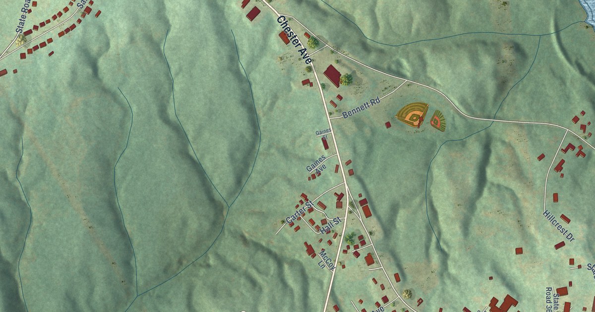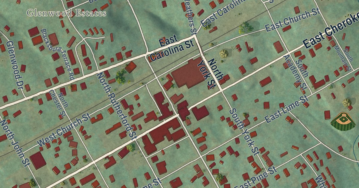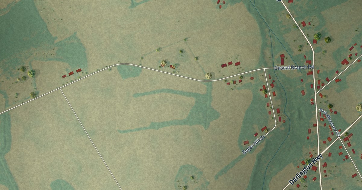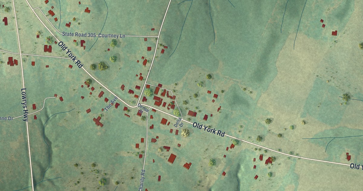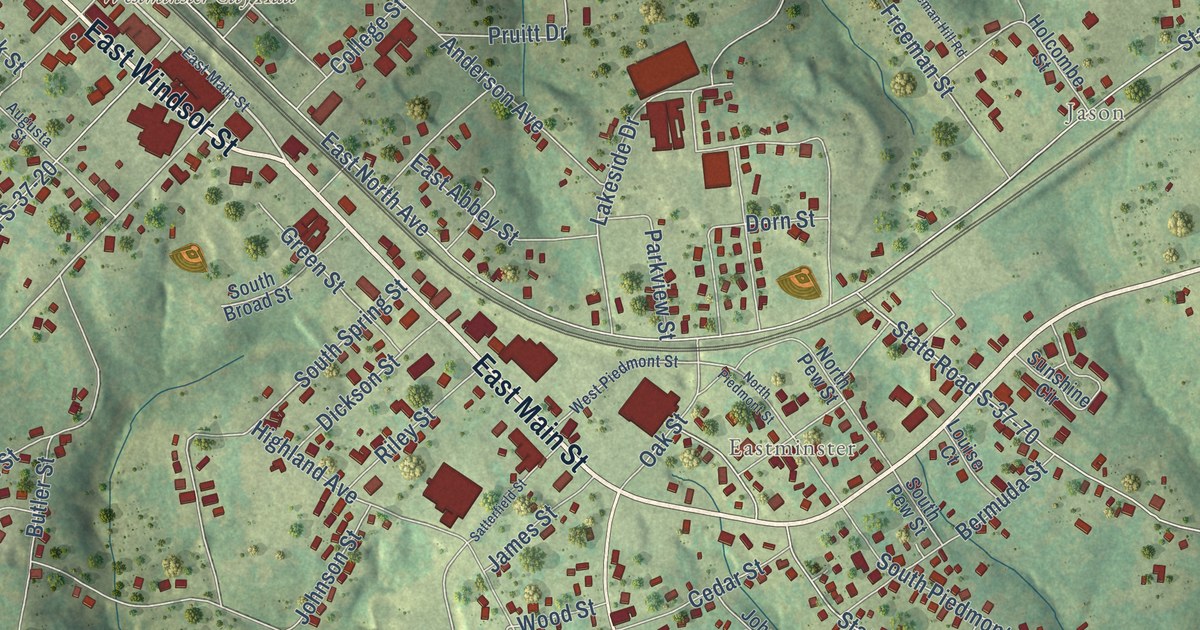
This beautifully detailed map of Westminster, South Carolina was created in 2026 using aerial imagery combined with modern topographical, census, street and landmark data. It’s a one-of-a-kind view of Westminster that combines accurate data with a vintage aesthetic. The map shows every building in its true location, many of the roads carry their names, and the shaded topographic relief shows the shape of the land.
Explore an aerial view of Westminster, South Carolina
On the map you’ll find Westminster City Hall, Jason, and Eastminster, along with East Main Street, East Windsor Street, Walhalla Highway, West Windsor Street, Walhalla Road, West North Avenue, West Oak Highway, Westminster Highway, Toccoa Highway, and more. If you look closely you can even find your house accurately drawn in its correct location. Zoom in on the preview to look for yours.
Did you know this piece of Westminster, South Carolina history?
From Scencyclopedia.org: "A post office was established on June 22, 1874, and the town was chartered on March 17, 1875."
Take a closer look at the Westminster map
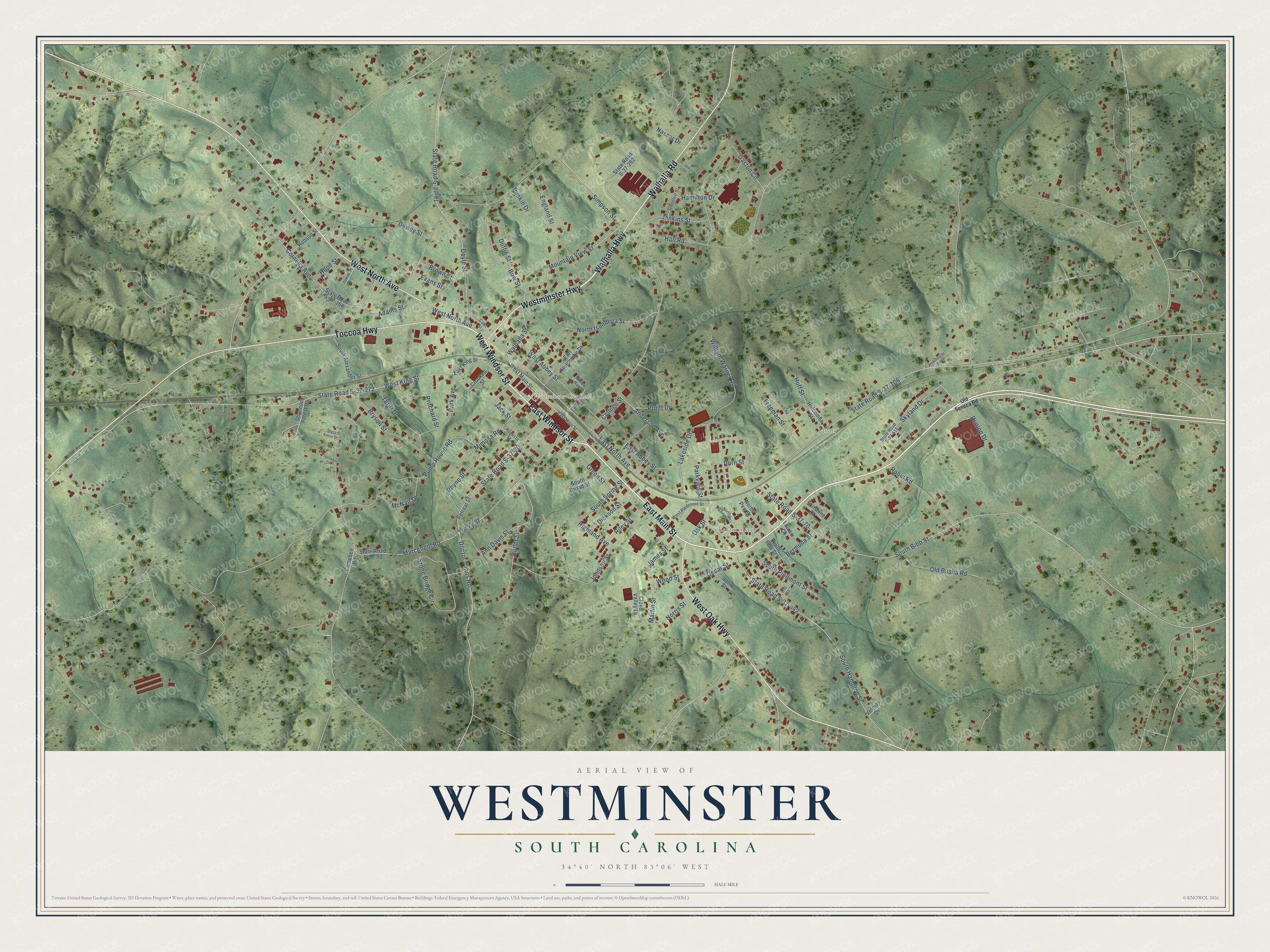
Street and place names on the Westminster, South Carolina map
These names are printed on the map of Westminster, South Carolina.
Places: Westminster City Hall, Jason and Eastminster.
Streets and roads: East Main Street, East Windsor Street, Walhalla Highway, West Windsor Street, West North Avenue, Walhalla Road, Westminster Highway, West Oak Highway, Toccoa Highway, Walhalla Street, Mountain View Street, Lucky Street.
More street names, A to Z
Adams Street, Anderson Avenue, Ann Davis Street, Augusta Street, Bermuda Street, Bow Street, Brown Street, Bryson Street, Butler Street, Campbell Road, Cass Street, Cedar Street, Clover Valley Lane, College Street, Cornelia Avenue, Crooked Street, Dewey Street, Dickson Street, Doctor Johns Road, Dorn Street, Doyle Street, Duffie Street, Dunlop Drive, Earl Holcombe Drive, East Abbey Street, East King Street, East North Avenue, England Street, Evans Street, Freeman Hill Road, Freeman Street, Gaston Circle, Goodlett Street, Green Street, Hall Road, Hamilton Drive, Highland Avenue, Hill Street, Hobson Street, Holcombe Street, Hope Street, Huff Street, Jackson Drive, Jack Street, James Street, Jenkins Street, Jenkinsville Road, Johnson Street, John Street, Lakeside Drive, Lee Drive, Louise Court, Marcengill Road, Martin Street, McNair Drive, Mimosa Road, Nascar Drive, Norris Street, North Isundega Street, North Pew Street, North Piedmont Street, Oak Street, Old Busha Road, Old Seneca Road, Park Avenue, Parkview Street, Pinewood Drive, Powell Court, Pritchard Street, Pruitt Drive, Pump House Road, Punkin Drive, Retreat Street, Rhyne Street, Riley Street, Robin Road, Satterfield Street, Shannon Forest Drive, Simpson Street, Skyland Drive, South Alexander Street, South Bibb Street, South Broad Street, South Hampton Street, South Pew Street, South Piedmont Street, South Spring Street, Stacy Kevin Drive, State Road S-37-20, State Road S-37-70, State Road S-37-80, State Road S-37-91, State Road S-37-106, State Road S-37-166, State Road S-37-272, State Road S-37-282, State Road S-37-515, State Road S-37-642, Stone Bridge Circle, Sunshine Circle, Thrift Drive, Velmas Drive, West Abbey Street, West King Street, West Main Street, West Piedmont Street, William Warner Road, Willow Row, Wood Street.
See the Westminster, South Carolina map on a wall
The Westminster map as an 18 x 24 inch print in a black frame.

This beautifully detailed map of Westminster makes an attractive addition to your office, library, or den, and it can even be used to teach children the geography and history of the area. It also makes a great gift for someone who left Westminster and still calls it home. When you’re done exploring, click here to get your copy of the Westminster map.