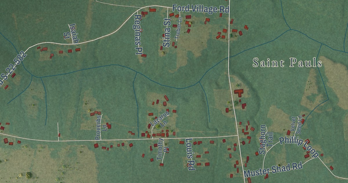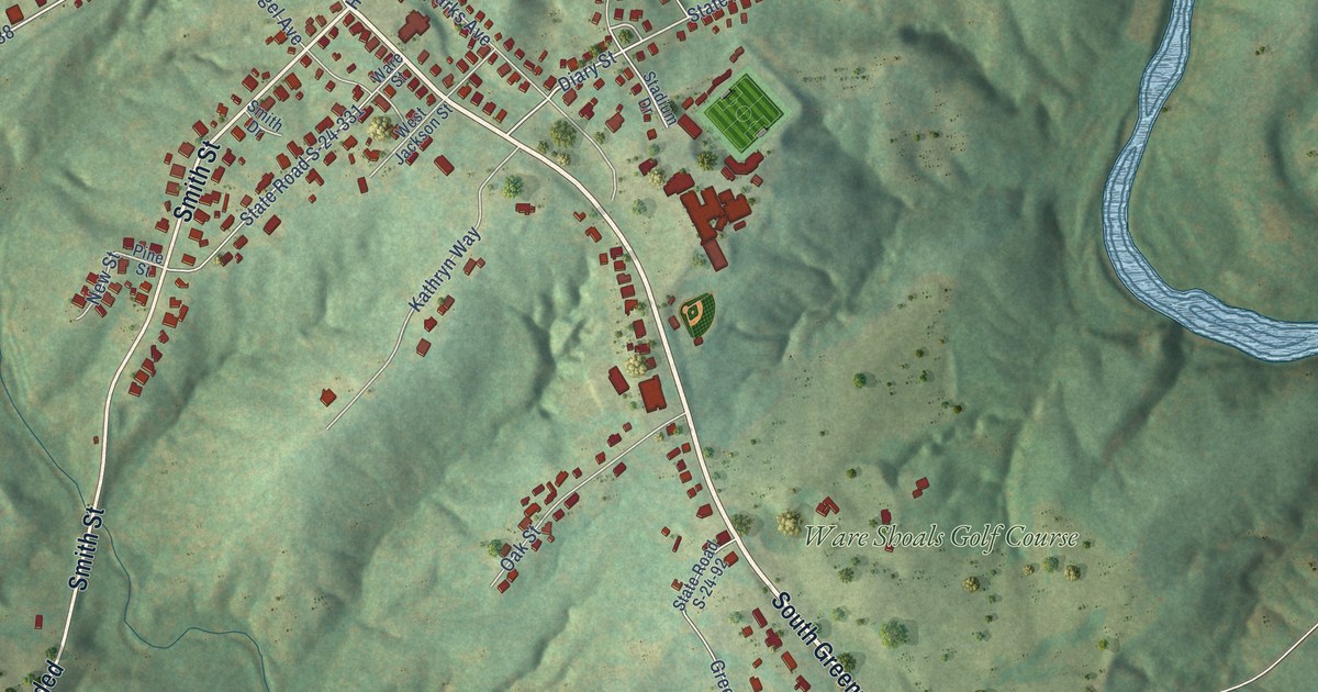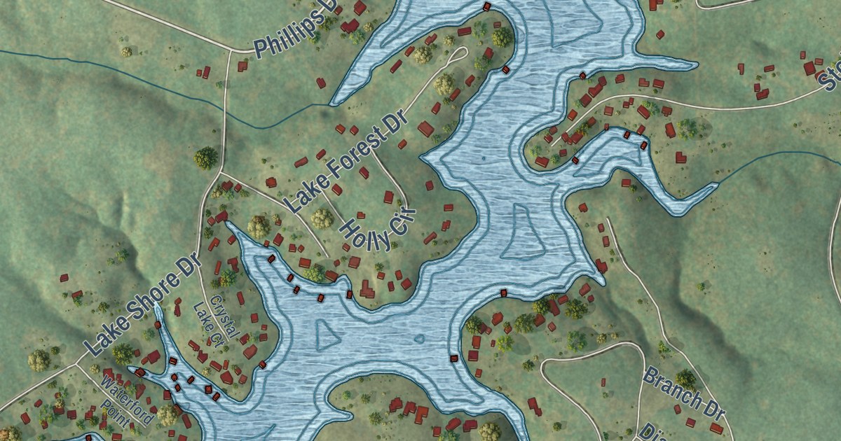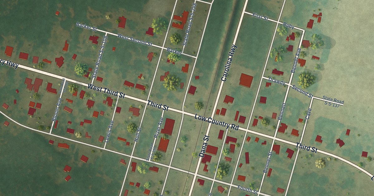
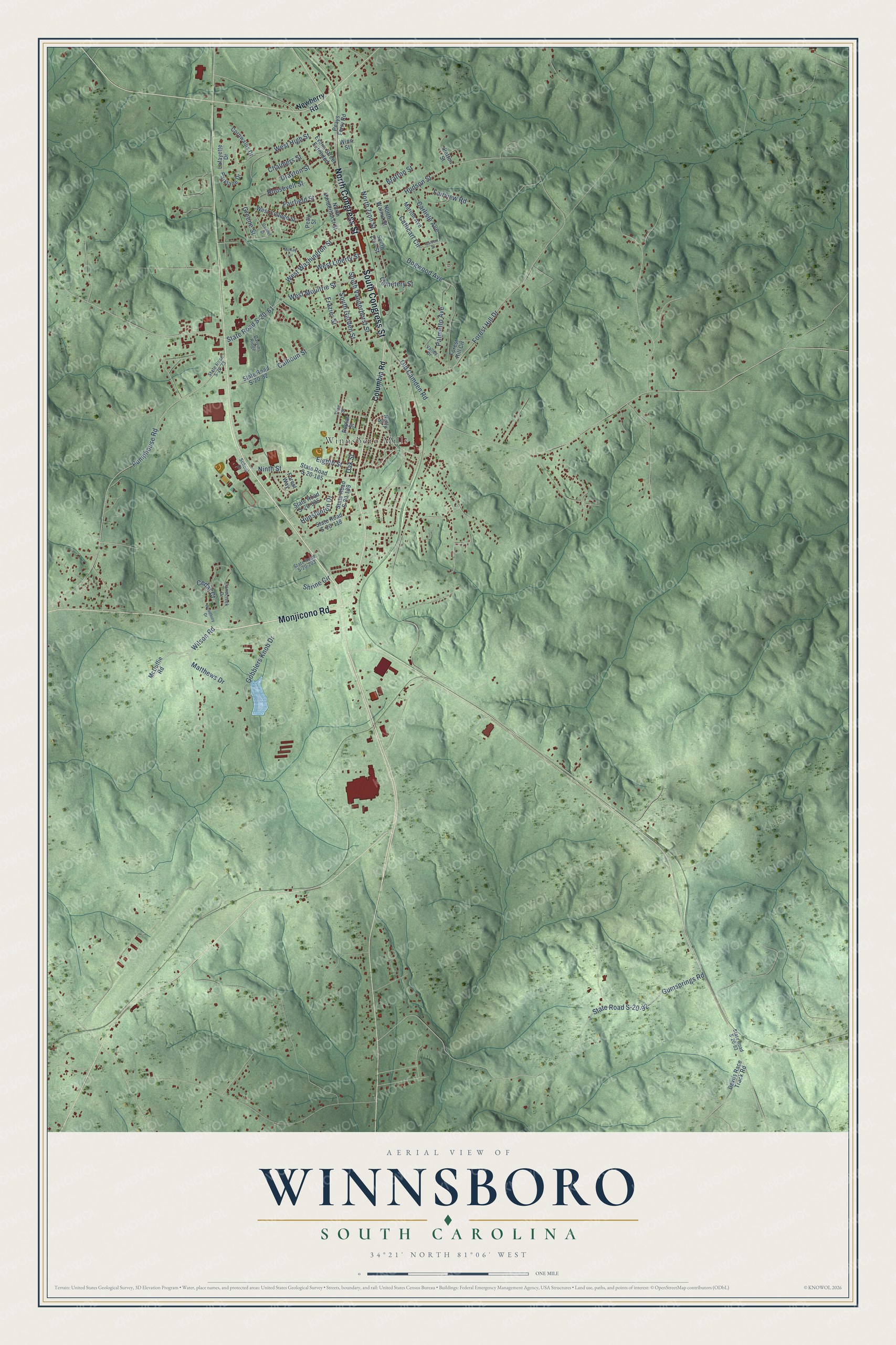
This beautifully detailed map of Winnsboro, South Carolina was created in 2026 using aerial imagery combined with modern topographical, census, street and landmark data. It’s a one-of-a-kind view of Winnsboro that combines accurate data with a vintage aesthetic. The map shows every building in its true location, many of the roads carry their names, and the shaded topographic relief shows the shape of the land.
Explore an aerial view of Winnsboro, South Carolina
On the map you’ll find Rockton, Simpson, and Winnsboro Mills, along with Monjicono Road, South Congress Street, North Congress Street, West Moultrie Street, Wilson Road, State Road S-20-61, Cedar Street, Pumphouse Road, West Washington Street, and more. If you look closely you can even find your house accurately drawn in its correct location. Zoom in on the preview to look for yours.
Did you know this piece of Winnsboro, South Carolina history?
From Scencyclopedia.org: "The Reverend James Jenkins and John Buchanan, a Revolutionary War veteran, established First United Methodist Church in Winnsboro in 1808."
Take a closer look at the Winnsboro map
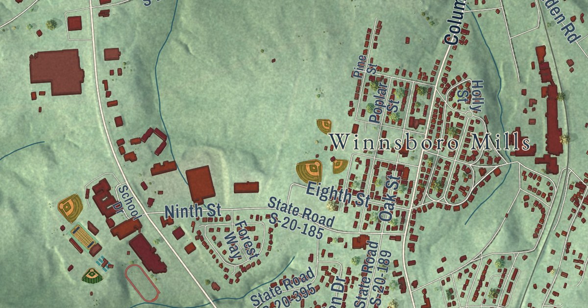
Street and place names on the Winnsboro, South Carolina map
These names are printed on the map of Winnsboro, South Carolina.
Places: Winnsboro Mills.
Streets and roads: Monjicono Road, South Congress Street, North Congress Street, West Moultrie Street, Wilson Road, Pumphouse Road, Ninth Street, West Washington Street, Oak Street, State Road S-20-61, Gobblers Knob Drive, Greene Street.
More street names, A to Z
Bratton Street, Calhoun Street, Calvert Street, Carlisle Avenue, Cathcart Circle, Cedar Court, Cemetery Street, Chalmers Street, Columbia Road, Cornwallis Drive, Darvins Ridge, Devils Race Track Road, Dogwood Avenue, Drayton Street, Eighth Street, Evans Street Extended, Fairfield Street, Fairview Road, Forest Hill Circle, Forest Hill Drive, Forest Way, Frazier Street, Gaither Street, Gumsprings Road, Holly Street, Hudson Street, Hunstanton Drive, Lafayette Drive, Marion Avenue, Matthews Drive, McDuffie Road, McKay Circle, Newberry Road, North Vanderhorst Street, North Walnut Street, North Zion Street, Old Camden Road, Palmetto Avenue, Parklane Drive, Patton Street, Peays Ferry Road, Peay Street, Pine Street, Poplar Street, Roosevelt Street, Sandcreek Drive, School Drive, Shrine Circle, South Garden Street, South Vanderhorst Street, South Zion Street, State Road S-20-23, State Road S-20-82, State Road S-20-92, State Road S-20-93, State Road S-20-118, State Road S-20-185, State Road S-20-189, State Road S-20-203, State Road S-20-395, Valley Drive, West College Street, West High Street, West Liberty Street, Winn Street, Woodbury Drive.
See the Winnsboro, South Carolina map on a wall
The Winnsboro map as an 18 x 24 inch print in a black frame.

This beautifully detailed map of Winnsboro makes an attractive addition to your office, library, or den, and it can even be used to teach children the geography and history of the area. It also makes a great gift for anyone with Winnsboro roots. When you’re done exploring, click here to get your copy of the Winnsboro map.