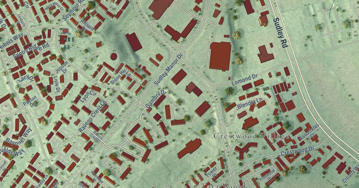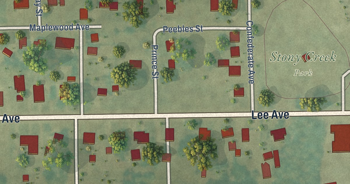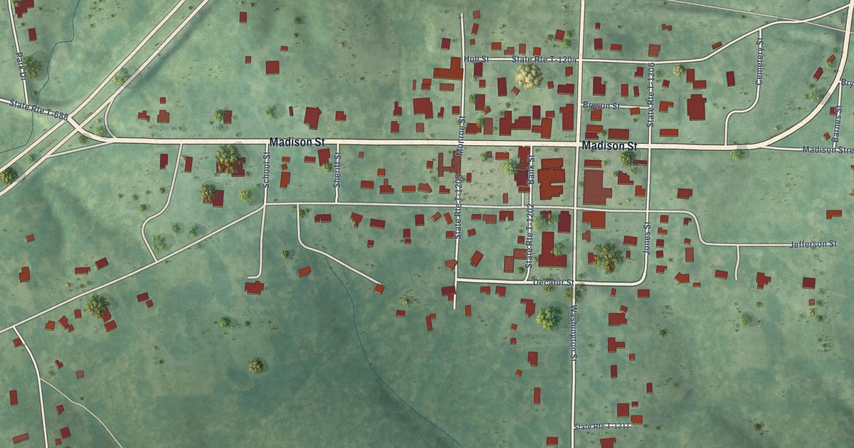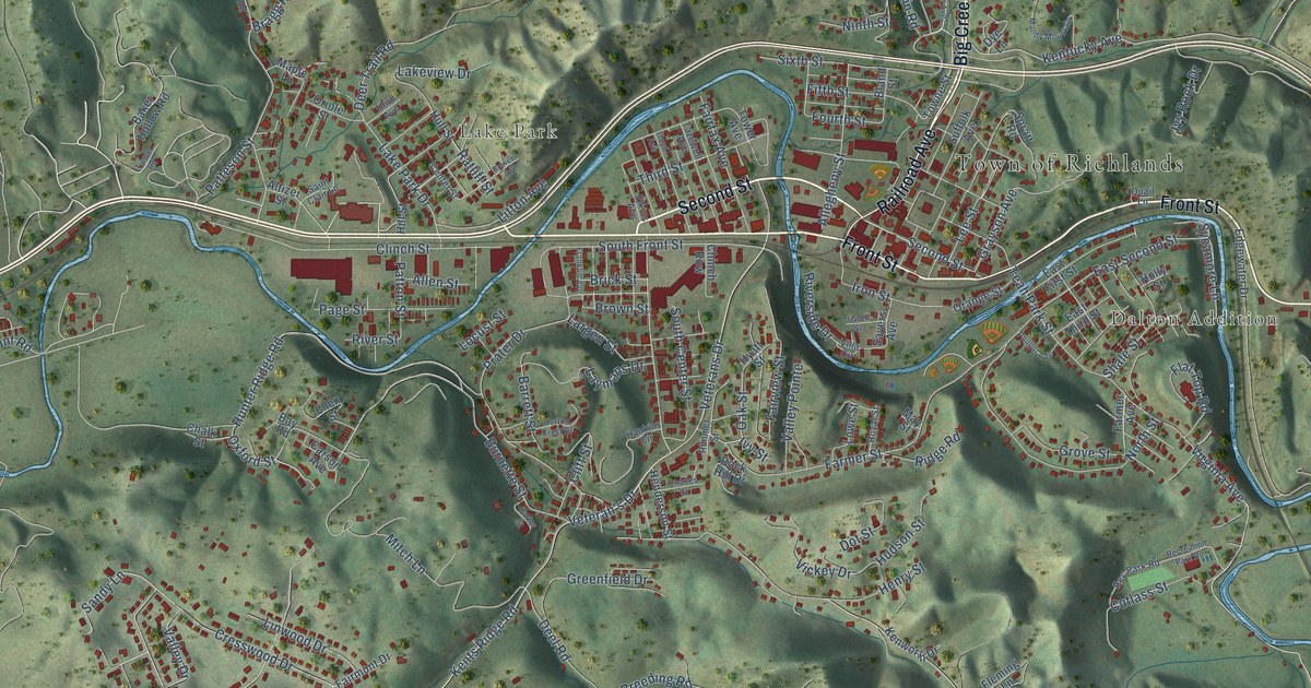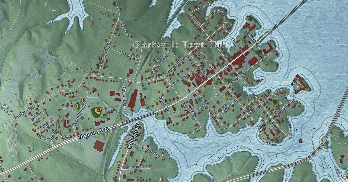
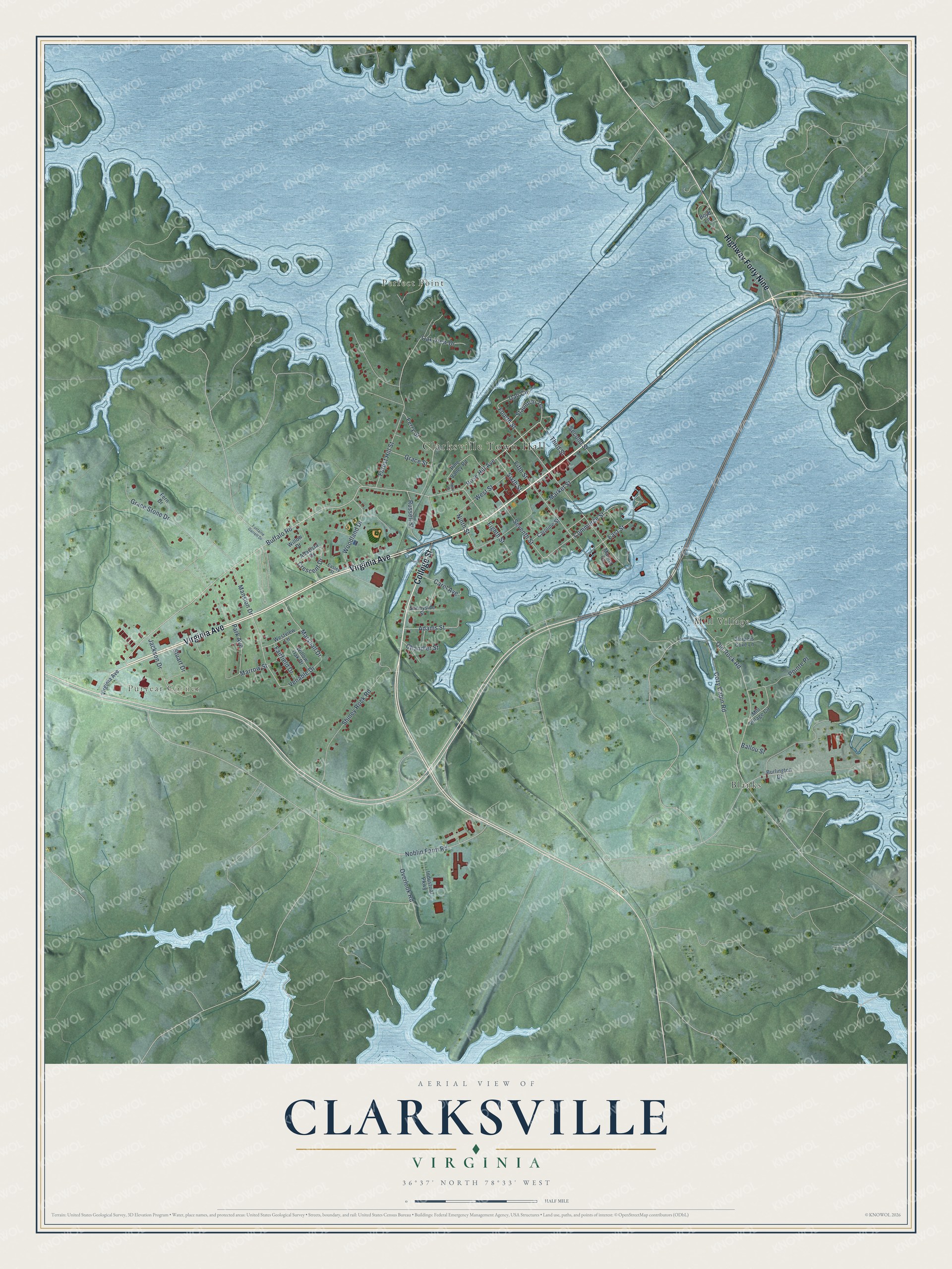
This beautifully detailed map of Clarksville, Virginia was created in 2026 using aerial imagery combined with modern topographical, census, street and landmark data. It’s a one-of-a-kind view of Clarksville that combines accurate data with a vintage aesthetic. The map shows every building in its true location, many of the roads carry their names, and the shaded topographic relief shows the shape of the land.
Explore an aerial view of Clarksville, Virginia
On the map you’ll find Clarksville Town Hall, Perfect Point, Puryear Corner, Blanks, and Mill Village, along with Virginia Avenue, College Street, Highway Forty Nine, Buffalo Road, Rose Hill Avenue, Eighth Street, Dan Circle, and more. If you look closely you can even find your house accurately drawn in its correct location. Zoom in on the preview to look for yours.
Did you know this piece of Clarksville, Virginia history?
Clarksville was the first incorporated town in Mecklenburg County. It was named in 1818 for its founder, Clark Royster. Its tobacco market grew so large that the Roanoke Navigation Company was formed to ship the crop down the Roanoke River to Petersburg.
Take a closer look at the Clarksville map
Street and place names on the Clarksville, Virginia map
These names are printed on the map of Clarksville, Virginia.
Places: Clarksville Town Hall, Perfect Point, Puryear Corner, Blanks and Mill Village.
Streets and roads: Virginia Avenue, College Street, Highway Forty Nine, Buffalo Road, Rose Hill Avenue, Eighth Street, Dan Circle, Market Street, Ninth Street, Cozy Cabin Road, Venable Drive, Marrow Street.
More street names, A to Z
Adams Street, Altavista Drive, Ballou Street, Boyd Lane, Burlington Drive, Carol Avenue, Caroline Street, Chandler Street, Commerce Street, Crescent Drive, Easley Street, East Street, Fairfield Drive, Fern Drive, Ferry Street, Fifth Street, Fontaine Garrett Drive, Forest Hill Street, Fourth Street, Grace Stone Drive, Grace Street, Industrial Parkway, Jackson Drive, Mansion Drive, Marina Cv, Marshall Drive, Mill Village Circle, Nero Street, Noblin Farm Road, Oak View Drive, Old Rock Road, Overlook Road, Park Avenue, Pine Valley Road, Pointe Place, Russell Street, Second Street, Seventh Street, Shiney Rock Road, Sixth Street, Staunton Terrace, Stripers Cove Lane, Stuart Drive, Sunnyside Street, Third Street, West Street, Westview Lane, Willow Drive, Willow Oak Drive, Woodland Drive.
See the Clarksville, Virginia map on a wall
The Clarksville map as an 18 x 24 inch print in a black frame.

This beautifully detailed map of Clarksville makes an attractive addition to your office, library, or den, and it can even be used to teach children the geography and history of the area. It also makes a great gift for anyone with Clarksville roots. When you’re done exploring, click here to get your copy of the Clarksville map.