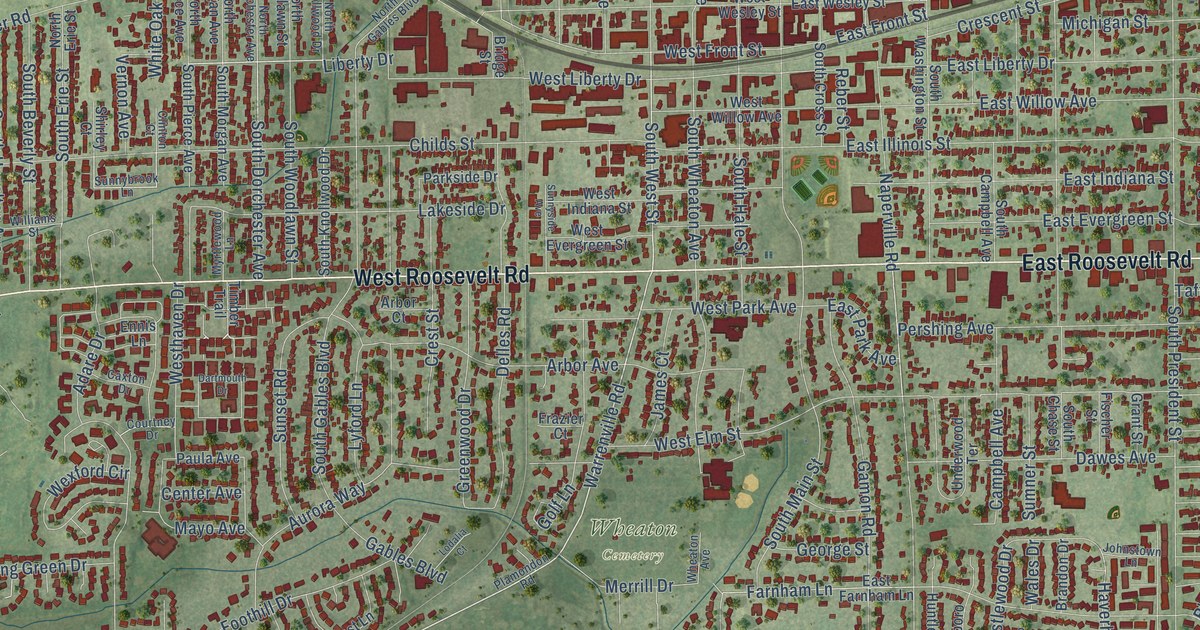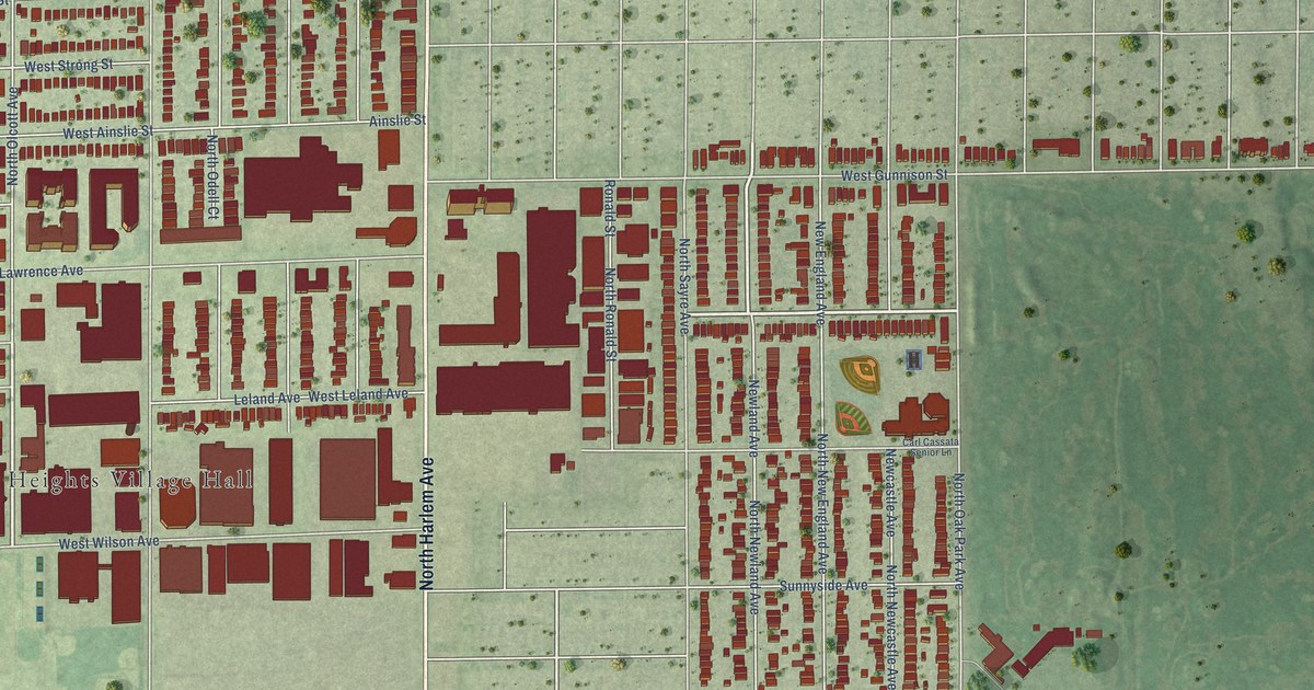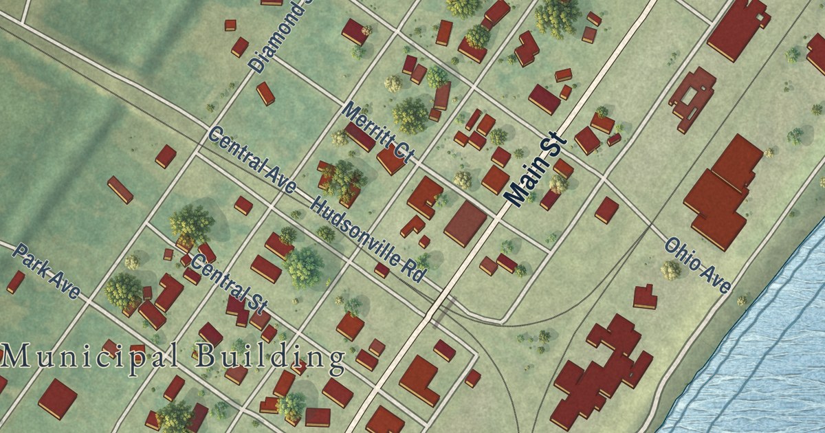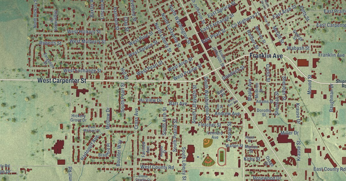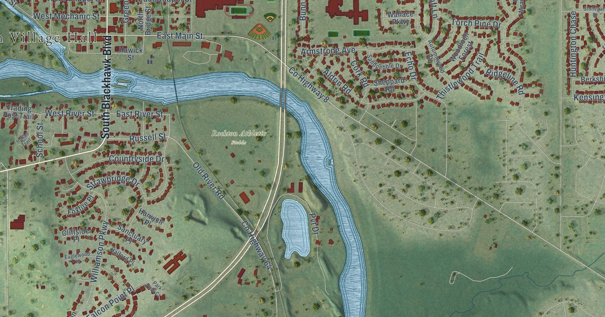
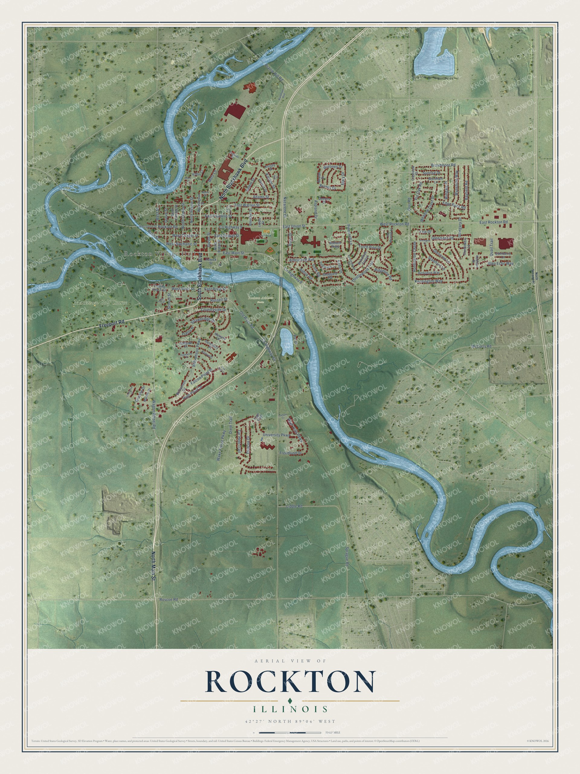
This beautifully detailed map of Rockton, Illinois was created in 2026 using aerial imagery combined with modern topographical, census, street and landmark data. It’s a one-of-a-kind view of Rockton that combines accurate data with a vintage aesthetic. The map shows every building in its true location, many of the roads carry their names, and the shaded topographic relief shows the shape of the land.
Explore an aerial view of Rockton, Illinois
On the map you’ll find Rockton Village Hall, Rockton Athletic Fields, and Macktown Golf Course, along with Freeport Road, South Blackhawk Boulevard, North Main Street, North Blackhawk Boulevard, Wagon Wheel Road, East Main Street, Russell Street, East River Street, West River Street, and more. If you look closely you can even find your house accurately drawn in its correct location. Zoom in on the preview to look for yours.
Did you know this about Rockton, Illinois?
From the Historical Encyclopedia of Illinois: "ROCKTON, a village in Winnebago County, at the junction of two branches of the Chicago, Milwaukee & St. Paul Railroad, on Rock River, 13 miles north of Rockford; has manufactures of paper and agricultural implements, a feed mill, and local paper."
Take a closer look at the Rockton map
Street and place names on the Rockton, Illinois map
These names are printed on the map of Rockton, Illinois.
Places: Rockton Village Hall, Rockton Athletic Fields and Macktown Golf Course.
Streets and roads: Freeport Road, South Blackhawk Boulevard, North Main Street, North Blackhawk Boulevard, Wagon Wheel Road, East Main Street, Russell Street, East River Street, West River Street, Moloney Drive, East Rockton Road, Glencree Lane.
More street names, A to Z
Adams Street, Aldrin Road, Armstrong Avenue, Aspland Drive, Autumnwood Drive, Bayfield Road, Berkshire Way, Beulah Drive, Blackhawk Boulevard, Bleecher Street, Broadmoor Road, Bunn Drive, Byrnes Drive, Carlson Court, Cliffside Place, Cork Road, Countryside Drive, County Highway 8, County Highway 9, County Highway 64, Crestview Court, Deacon Drive, Dingman Drive, Dixie Trail, Dorr Road, Eaglewood Place, East Chapel Street, East Franklin Street, East Union Street, East Warren Street, Echo Drive, Edenberry Lane, Edge Rock Road, Ellis Court, Falcon Point Place, Foxfire Place, Freedlund Drive, Glendowery Lane, Glen Echo Way, Glengary Drive, Glenmore Road, Granite Drive, Green Street, Grove Street, Halford Place, Harwich Place, Hawick Street, High Point Drive, Huntington Chase, Indian Trail, Keelson Drive, Kelsey Court, Kensington Way, Kocher Street, Kothe Court, Liddle Road, Liddle Street, Limestone Court, Loomis Drive, Marble Drive, Mary Drive, McCurry Road, Meadow Crest Drive, Metz Lane, Nazarene Drive, North Bridge Street, North Center Street, North Cottage Street, North Ferry Street, North Prairie Street, North Second Street, North Street, Old Meadow Lane, Old River Road, Park View Court, Pinecroft Lane, Pin Oak Road, Prairie Hill Road, Pvt Drive, Quail Trail, Queens Court, Race Street, Ridgeline Road, River Hills Parkway, Rockton Road, Roscoe Road, Salem Street, Sanctuary Place, Sandpebble Drive, School Street, Sheppard Road, Shore Lane, Sprague Road, Stamford Lane, Stonegate Drive, Strawbridge Drive, Sunrise Drive, Tar Heel Trail, Thistlewood Trail, Tiger Trail, Torch Pine Drive, Trading Post Trail, University Parkway, Wake Forest Parkway, Wallace Parkway, Washington Street, West Chapel Street, West Mechanic Street, West Rockton Road, West Street, West Union Street, Williamson Circle, Williamson Parkway, Wingate Place, Woodloch Forest, Wyndham Lane, Wynstone Way, Yale Drive.
See the Rockton, Illinois map on a wall
The Rockton map as an 18 x 24 inch print in a black frame.

This beautifully detailed map of Rockton makes an attractive addition to your office, library, or den, and it can even be used to teach children the geography and history of the area. It also makes a great gift for anyone who grew up in Rockton or moved away. When you’re done exploring, click here to get your copy of the Rockton map.