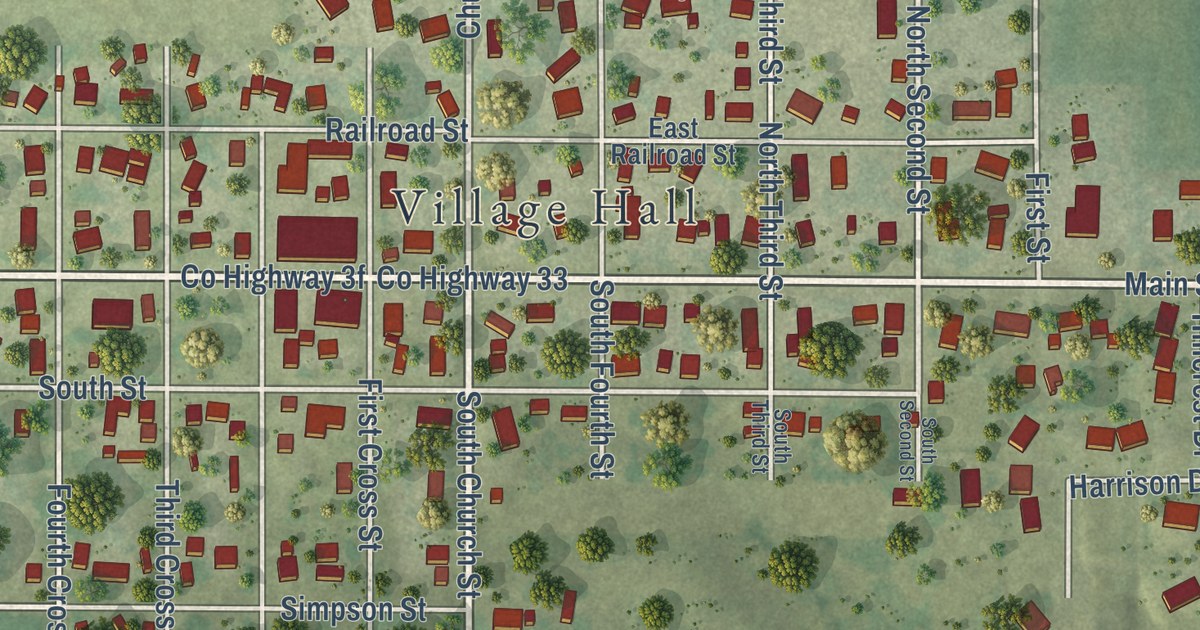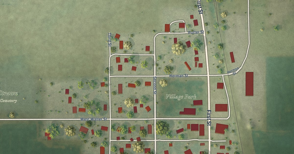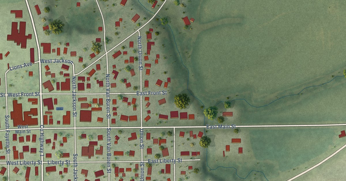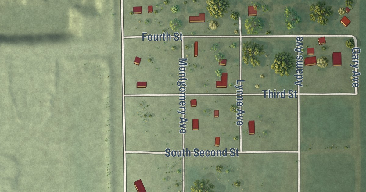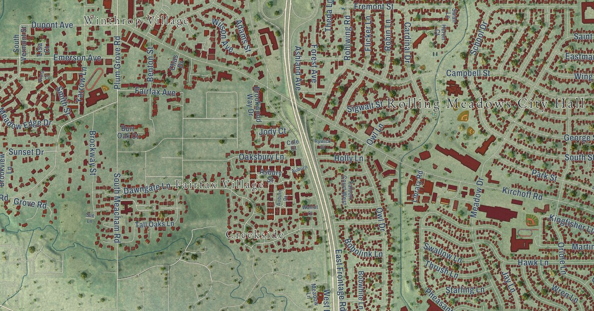
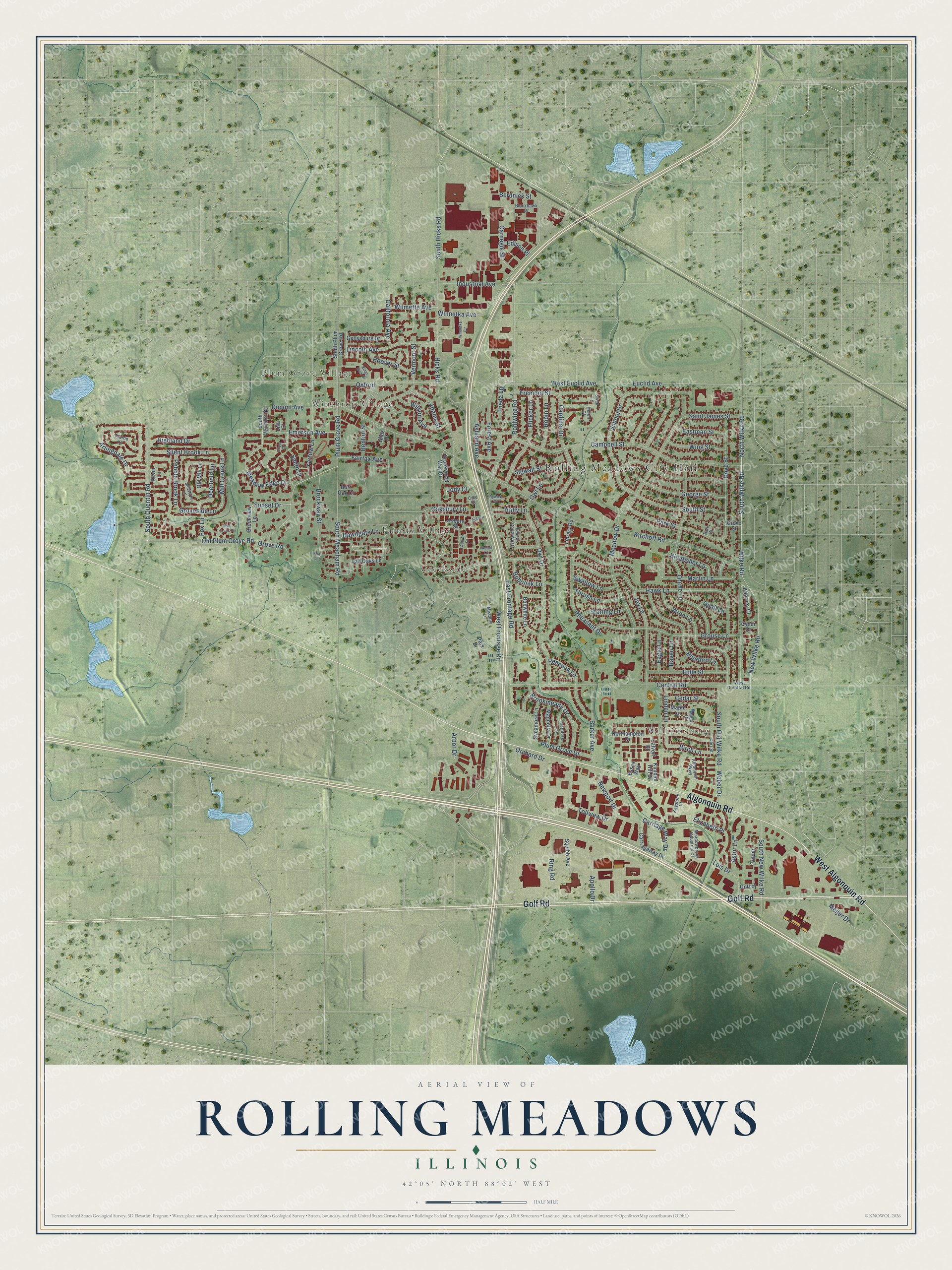
This beautifully detailed map of Rolling Meadows, Illinois was created in 2026 using aerial imagery combined with modern topographical, census, street and landmark data. It’s a one-of-a-kind view of Rolling Meadows that combines accurate data with a vintage aesthetic. The map shows every building in its true location, many of the roads carry their names, and the shaded topographic relief shows the shape of the land.
Explore an aerial view of Rolling Meadows, Illinois
On the map you’ll find Rolling Meadows City Hall, Plum Grove Village, Winthrop Village, Williamsburg, Creekside, and Fairfax Village, along with Golf Road, Algonquin Road, West Algonquin Road, Wilke Road, South Wilke Road, Old Plum Grove Road, and more. If you look closely you can even find your house accurately drawn in its correct location. Zoom in on the preview to look for yours.
Did you know this piece of Rolling Meadows, Illinois history?
From the Cook County Hazard Mitigation Plan: "Rolling Meadows incorporated in 1955 as a city named for its gently rolling terrain and soon began annexing land for future development."
Take a closer look at the Rolling Meadows map
Street and place names on the Rolling Meadows, Illinois map
These names are printed on the map of Rolling Meadows, Illinois.
Places: Rolling Meadows City Hall, Plum Grove Village, Winthrop Village, Williamsburg, Creekside and Fairfax Village.
Streets and roads: Golf Road, Algonquin Road, West Algonquin Road, Wilke Road, South Wilke Road, Old Plum Grove Road, North Wilke Road, Plum Grove Road, New Wilke Road, Rohlwing Road, South Meacham Road, Dupont Avenue.
More street names, A to Z
Adams Street, Algonquin Parkway, Apollo Drive, Arbor Drive, Arlingdale Drive, Asbury Street, Ashland Avenue, Astor Lane, Auburn, Auburn Drive, Barker Avenue, Bent Creek Court, Benton Street, Berdnick Street, Birch Lane, Blackhawk Drive, Bluebird Lane, Bobolink Lane, Bobwhite Lane, Brockway Street, Brookmeade Drive, Brookview Lane, Brookwood Way Drive, Burr Oak Court, California Avenue, Calvert Drive, Campbell Street, Cardinal Drive, Carnegie Street, Carriage Way Drive, Carriageway Drive, Carr Street, Cedar Street, Central Road, Chas Drive, Cole Court, Cyndi Court, Dawngate Lane, Deerfield Lane, Dove Street, Eagle Lane, East Frontage Road, Eastman Street, Edison Place, Elizabeth Place, Emerson Avenue, Essex Way, Euclid Avenue, Fairfax Avenue, Falcon Court West, Flicker Lane, Forest Avenue, Fox Lane, Fremont Street, Fulle Street, George Street, Gettysburg Drive, Golf Place, Grouse Lane, Grove Road, Groveside Lane, Grove Street, Hawk Lane, Heron Court, Hicks Road, Highland Drive, Holly Lane, Hoover Street, Industrial Avenue, Jay Lane, Jody Court, Kevin Lane, Keystone Court, Kilarney Court, Kimball Hill Drive, Kingfisher Lane, Kings Walk Drive, Kirchoff Road, Library Road, Lincoln Avenue, Linden Lane, Lisa Court, Lois Drive, Magnolia Drive, Maple Court, Maple Lane, Martin Lane, Meadowbrook Industrial Court, Meadow Drive, Meadow Edge Drive, Meadow Lane, Meijer Drive, Mill Creek Lane, Millstone Lane, Newport Drive, Northampton Drive, Oaksbury Lane, Old Mill Lane, Orchard Drive, Oriole Lane, Owl Drive, Owl Lane, Oxford, Park Court, Park Drive, Park Street, Peacock Lane, Pebble Brook Lane, Pheasant Drive, Plum Grove Drive, Prairie Lane, Quail Lane, Raven Lane, Ring Road, Robin Lane, Rywick Court, Saint James Street, School Drive, Sigwalt Street, Silent Brook Lane, Smith Street, South Hicks Road, South New Wilke Road, South Old Wilke Road, South Plum Grove Road, South Quentin Road, South Street, South Vermont Street, Squibb Avenue, Starling Lane, Sue Lane, Sunset Drive, Swallow Lane, Swan Lane, Sycamore Lane, Tall Oaks Lane, Theda Lane, Thorntree Lane, Thrush Lane, Tinder, Tollview Drive, Vermont Street, Viola Court, Walnut Court, Weber Drive, West Central Road, West Euclid Avenue, West Frontage Road, Wilmette Avenue, Wilson Avenue, Wing Street, Winnetka Avenue, Winnetka Circle, Wren Lane, Yarrow Lane.
See the Rolling Meadows, Illinois map on a wall
The Rolling Meadows map as an 18 x 24 inch print in a black frame.

This beautifully detailed map of Rolling Meadows makes an attractive addition to your office, library, or den, and it can even be used to teach children the geography and history of the area. It also makes a great gift for someone who left Rolling Meadows and still calls it home. When you’re done exploring, click here to get your copy of the Rolling Meadows map.