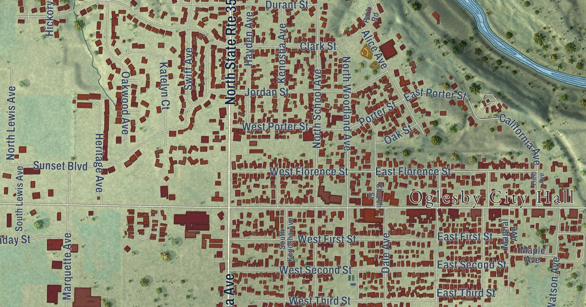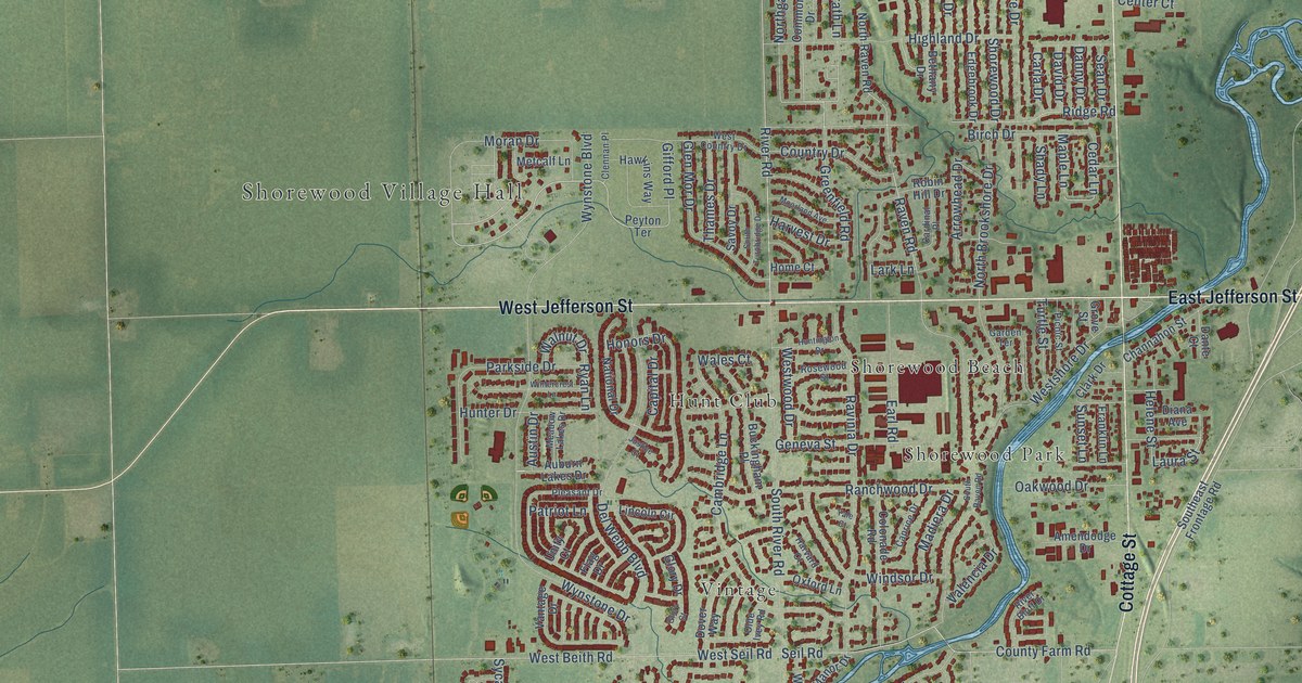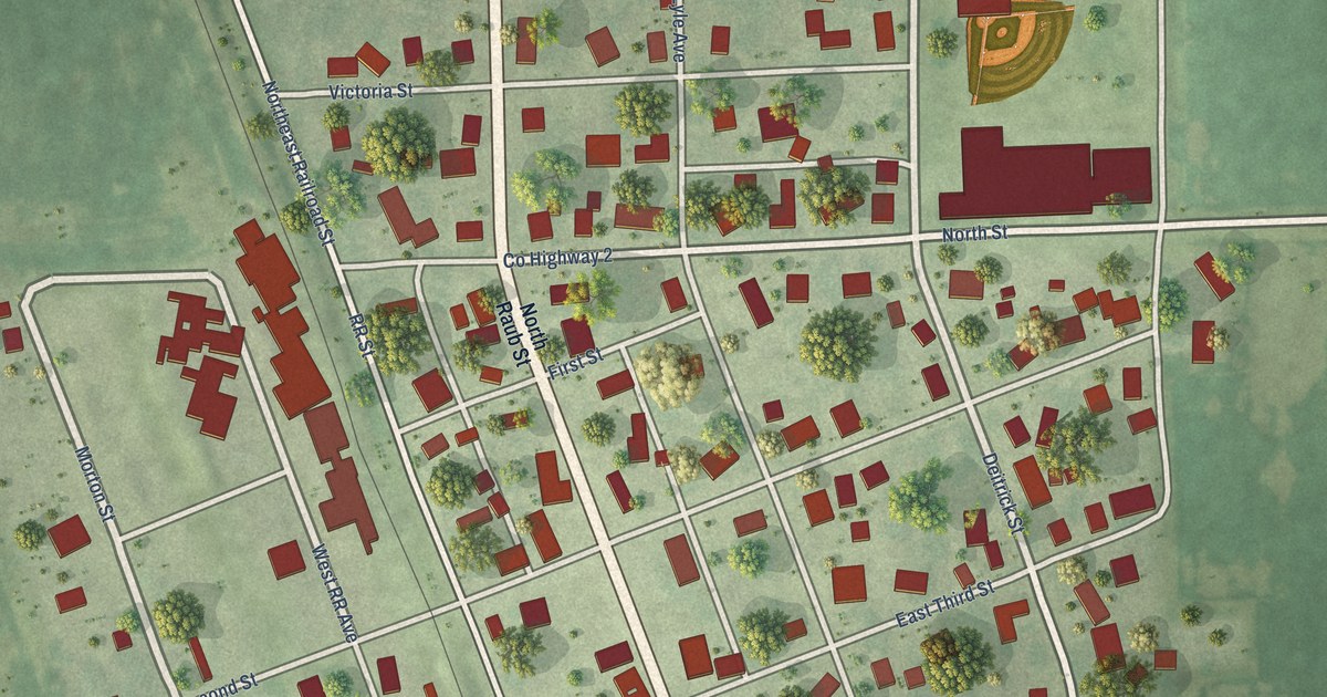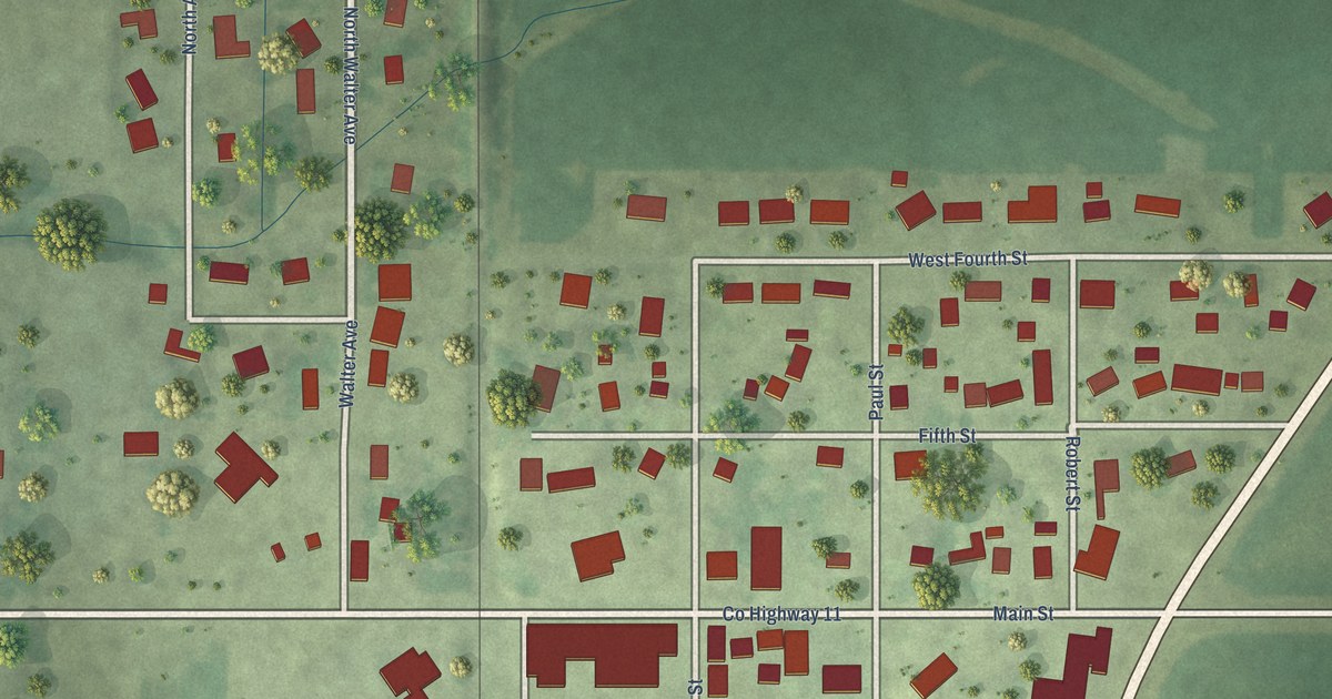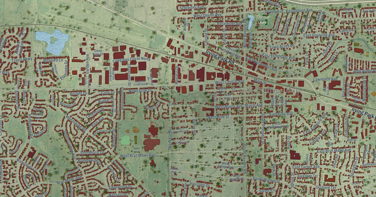
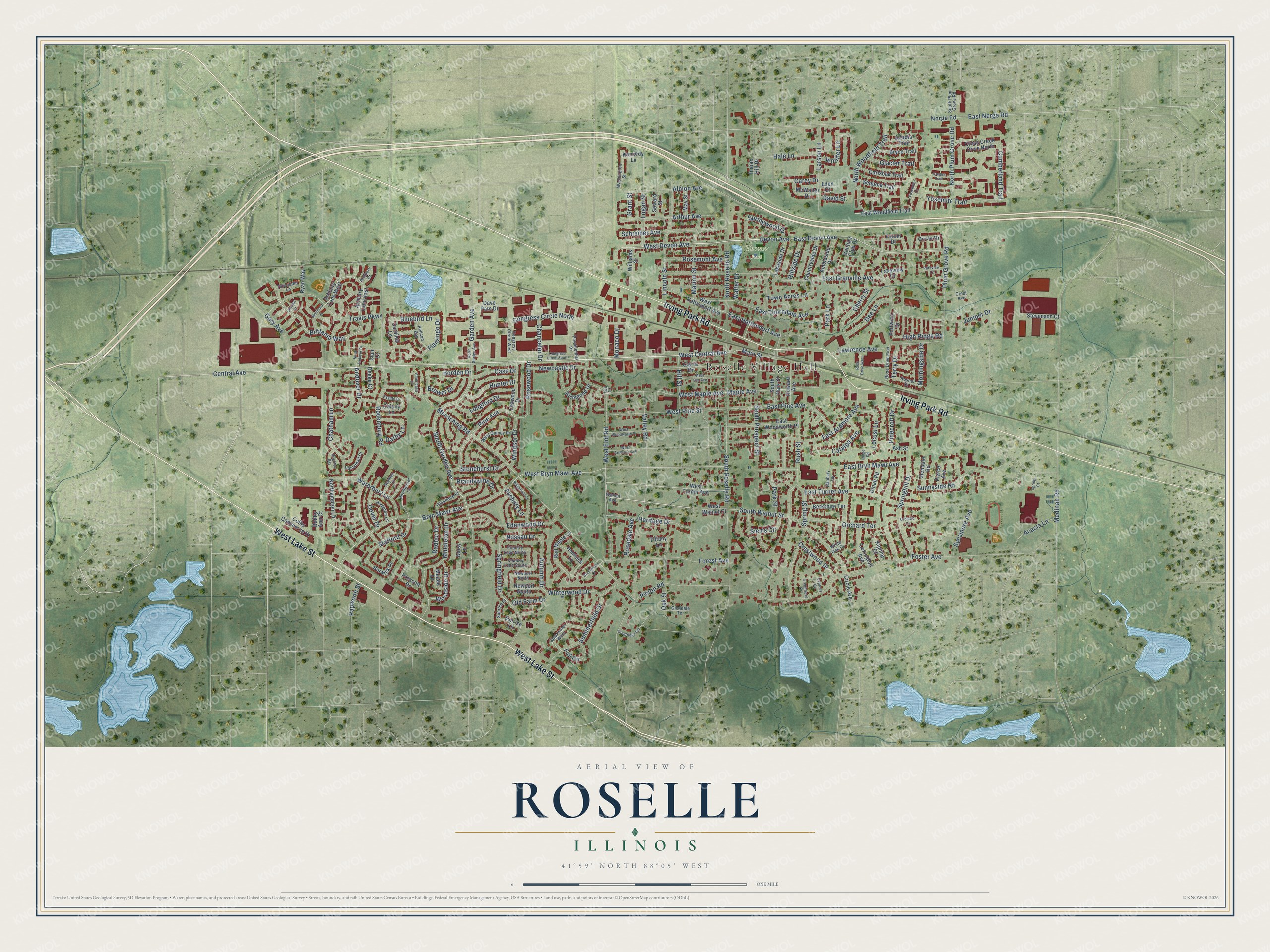
This beautifully detailed map of Roselle, Illinois was created in 2026 using aerial imagery combined with modern topographical, census, street and landmark data. It’s a one-of-a-kind view of Roselle that combines accurate data with a vintage aesthetic. The map shows every building in its true location, many of the roads carry their names, and the shaded topographic relief shows the shape of the land.
Explore an aerial view of Roselle, Illinois
On the map you’ll find Roselle Village Hall and Turner Park, along with West Lake Street, Irving Park Road, West Central Avenue, West End Road, East Devon Avenue, Devon Avenue, West Devon Avenue, Central Avenue, Brittania Way, Logan Street, and more. If you look closely you can even find your house accurately drawn in its correct location. Zoom in on the preview to look for yours.
Did you know this piece of Roselle, Illinois history?
Deacon Elijah Hough settled near Bloomingdale in 1837 with his son Rosell. In 1868 Rosell Hough returned from a career in Chicago and opened the Illinois Linen Company to use local flax. He also headed the Chicago and Pacific Railroad. A misprint on the railroad’s schedule gave the town its name, Roselle.
Take a closer look at the Roselle map
Street and place names on the Roselle, Illinois map
These names are printed on the map of Roselle, Illinois.
Places: Roselle Village Hall and Turner Park.
Streets and roads: West Lake Street, Irving Park Road, West Central Avenue, West End Road, East Devon Avenue, Devon Avenue, West Devon Avenue, Central Avenue, Brittania Way, Logan Street, Main Street, East Hattendorf Avenue.
More street names, A to Z
Acacia Lane, Acadia Trail, Albion Avenue, Ambleside Drive, Americana Court, Andover Drive, Arthur Avenue, Ashbury Court, Ashbury Lane East, Ashbury Lane West, Ash Street, Autumn Drive, Avebury Lane, Banbury Terrace, Berkshire Terrace, Berwick Place, Bluebird Lane, Bobby Ann Court, Borden Drive, Brandywine Drive, Brentwood Court, Brighton Bay, Brower Drive, Bryce Trail, Bryn Mawr Avenue, Cardinal Lane, Carey Drive, Carlsbad Trail, Case Drive, Catalpa Avenue, Chancelor Drive, Chatham Lane, Cherry Street, Cheviot Court, Circle Avenue, Circle Drive, Clair Court, Claria Drive, Clearwater West, Colby Commerce Drive, Colony Lane, Congress Circle North, Congress Circle South, Congress Circle West, Country Lane North, Country Lane South, Countryside Drive, Crest Avenue, Crestwood Drive, Cross Creek Drive North, Cumberland Trail, Cypress Court, Daisy Lane, Darby Lane, Dave Pate Drive, David Street, Deeke Court, Dee Lane, Dinah Road, Dorchester Court, Dover Drive, East Ardmore Avenue, East Bryn Mawr Avenue, East Granville Avenue, East Nerge Road, East Pine Avenue, East Thorndale Avenue, East Turner Avenue, East Woodfield Trail, East Woodworth Place, Eden Court, Edenwood Drive, Fall Circle, Flamingo Drive, Forest Avenue, Forum Drive, Foster Avenue, Garden Avenue, Gary Avenue, Glacier Trail, Glendale Road, Glendale Terrace, Glenmore Place, Goodridge Terrace, Grant Street, Greenwood Court, Hale Lane, Hampton Lane, Hamstead Court, Hemlock Lane, Heritage Drive, High Ridge Road, Hillside Drive, Hill Street, Howard Avenue, Hunter Drive, Hygate Drive, Indian Hill Drive, Jennifer Lane, Juniper Drive, Kennedy Lane, Kipling Court, Lakeside Drive, Lakeview Court, Larson Lane, Lawrence Avenue, Leawood Drive, Leo Court, Lexington Avenue, Lincoln Street, Locust Lane, Longford Drive, Maple Avenue, Marion Street, May Street, McWalter Drive, Meade Lane, Medinah Road, Mensching Road, Merriford Lane, Middleton Drive, Monaco Drive, Morningside Drive, Nassau Drive, Nerge Road, Newcastle Drive, Newport North, Newport South, Norman Lane, Northampton Lane, North Andover Drive, North Garden Avenue, North Plum Grove Road, North Roselle Road, North Woodfield Trail, Oak Street, Old Farm Drive, Orchard Court, Orchard Terrace, Oregon Trail, Papworth Street, Park Lane, Park Street, Parkview Court, Pelican Bay, Picton Road, Pierce Avenue, Pine Avenue, Pinecroft Drive, Plum Grove Road, Portwine Drive, Prescott Drive, Presidential Drive, Radnor Drive, Red Maple Lane, Richmond Drive, Ridgefield Drive, Ridge Road, Rodenburg Road, Rosedale Avenue, Rose Drive East, Rose Drive West, Rosemont Avenue, Rosewood Drive, Rosner Drive, Rush Street, Ryan Way, Schreiber Avenue, Sequoia Trail, Seward Street, Siems Circle, South Garden Avenue, South Park Street, South Plum Grove Road, South Prospect Street, South Roselle Road, South Walnut Street, Spring Court, Springfield Drive, Springhill Drive, Spring Street, Springwood Drive, Stafford Drive, Stevenson Court, Stonehurst Drive, Summerfield Drive, Sunnyside Road, Sunrise Lane, Sunrise Place, Sycamore Avenue, Terry Drive, Thornfield Lane, Tiffany Lane, Town Acres Lane, Travis Parkway, Valley Road, Ventura Club Drive, Walnut Avenue, Walter Drive, Washington Street, Waterbury Lane, West Ardmore Avenue, West Bryn Mawr Avenue, West Elm Avenue, West Hattendorf Avenue, West Maple Avenue, West Pine Street, West Quincy Drive, West Turner Avenue, West Walnut Court, West Woodworth Place, White Oak Drive, Williams Street, Windsor Drive, Winterwood Drive, Woodside Drive, Yosemite Court, Yosemite Trail.
See the Roselle, Illinois map on a wall
The Roselle map as an 18 x 24 inch print in a black frame.

This beautifully detailed map of Roselle makes an attractive addition to your office, library, or den, and it can even be used to teach children the geography and history of the area. It also makes a great gift for anyone with Roselle roots. When you’re done exploring, click here to get your copy of the Roselle map.