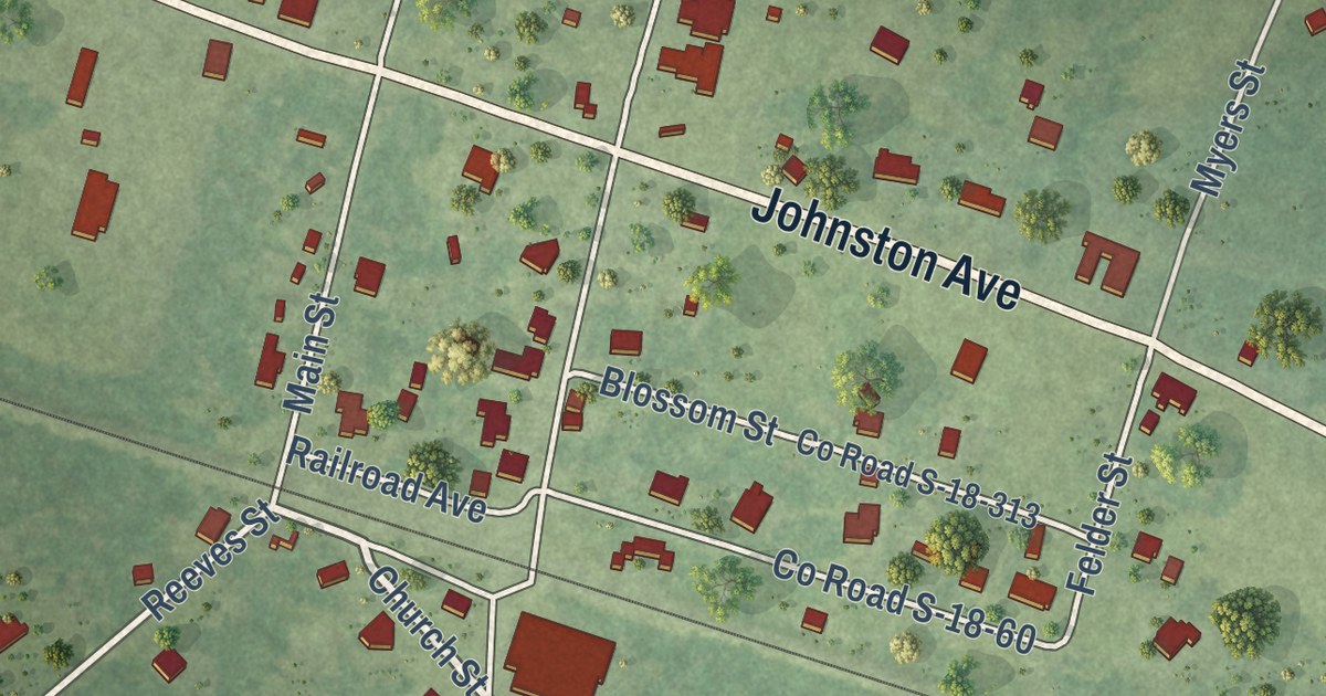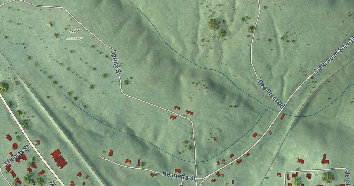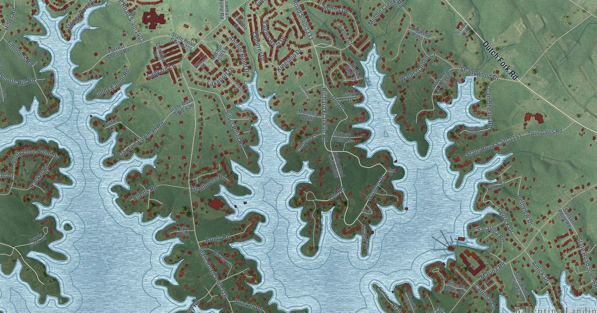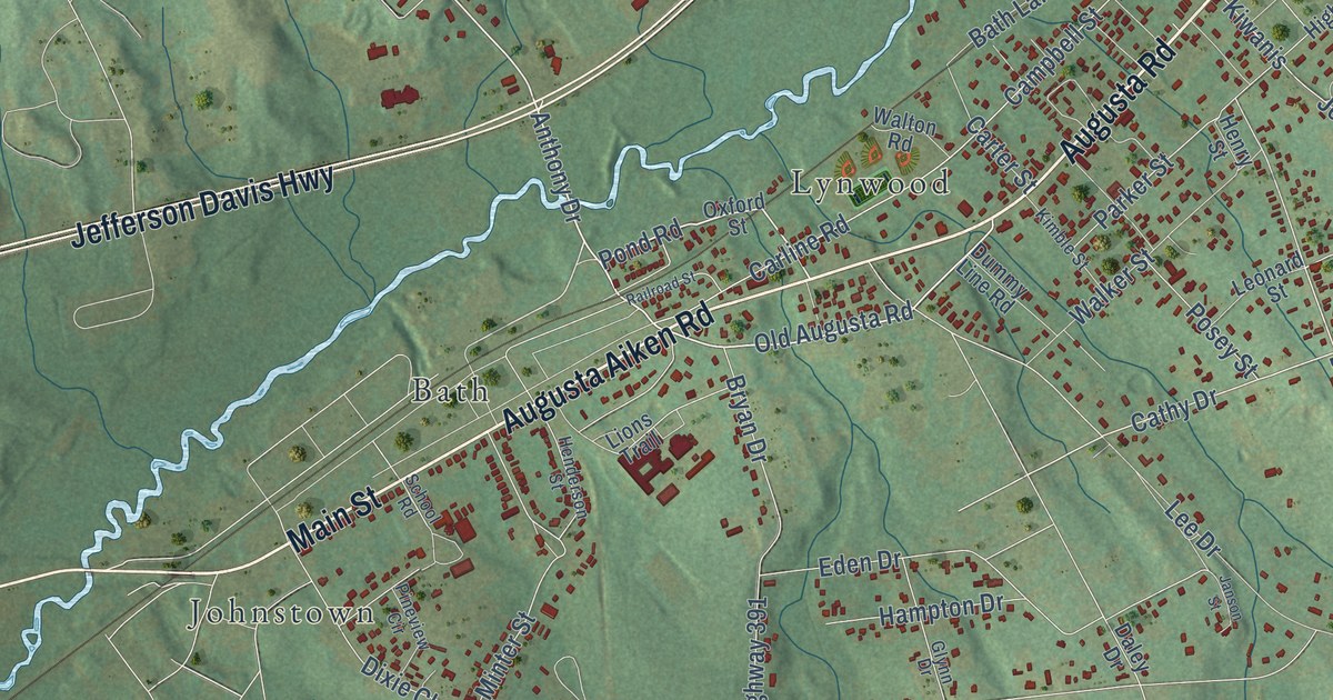
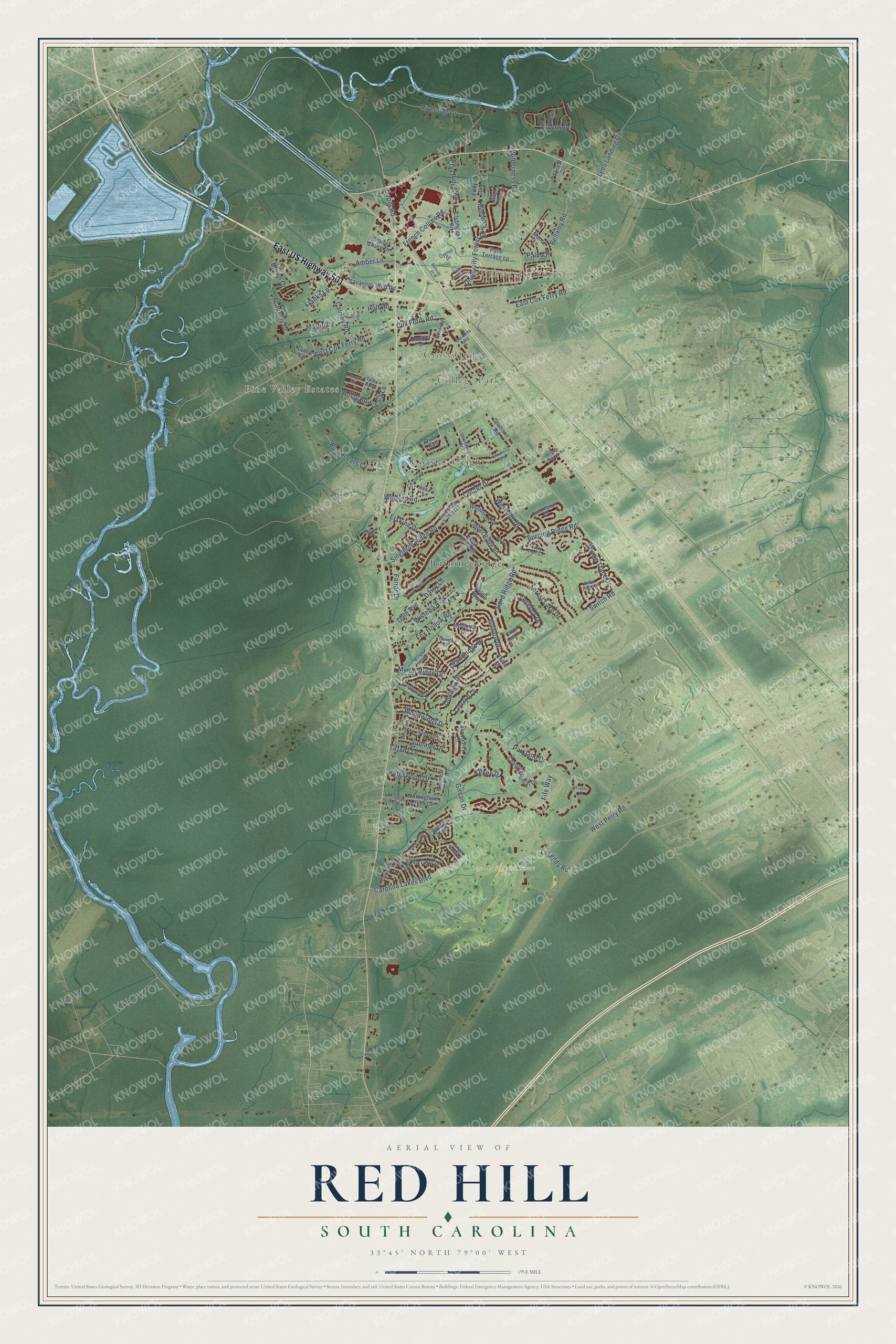
This beautifully detailed map of Red Hill, South Carolina was created in 2026 using aerial imagery combined with modern topographical, census, street and landmark data. It’s a one-of-a-kind view of Red Hill that combines accurate data with a vintage aesthetic. The map shows every building in its true location, many of the roads carry their names, and the shaded topographic relief shows the shape of the land.
Explore an aerial view of Red Hill, South Carolina
On the map you’ll find University Forest, Crosswinds, College Park, Pine Valley Estates, Legends Golf and Resort, Burning Ridge, and Coastal Heights, along with East US Highway 501, West Cox Ferry Road, Depot Road, Switch Road, Cox Ferry Road, and more. If you look closely you can even find your house accurately drawn in its correct location. Zoom in on the preview to look for yours.
Did you know this piece of Red Hill, South Carolina history?
From WPDE: "Rescue Station 23 was previously located on Technology Boulevard, but Horry County officials say the new location will better allow the rescue teams to serve the thousands of residents in the neighborhoods and subdivisions off of Highway 544."
Take a closer look at the Red Hill map
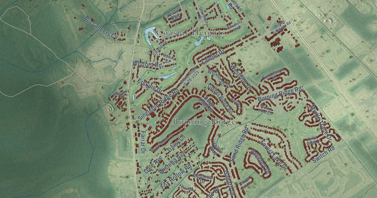
Street and place names on the Red Hill, South Carolina map
These names are printed on the map of Red Hill, South Carolina.
Places: University Forest, Crosswinds, College Park, Pine Valley Estates, Legends Golf and Resort, Burning Ridge and Coastal Heights.
Streets and roads: East US Highway 501, West Cox Ferry Road, Depot Road, Switch Road, Cox Ferry Road, Parkland Drive, Girvan Drive, Singleton Ridge Road, Myrtle Trace Drive, French Collins Road, Bellamy Road, Lander Drive.
More street names, A to Z
Academy Drive, Allen Street, Alwoodley Lane, Amber Lane, Athens Drive, Belsole Place, Berry Tree Lane, Blackstone Drive, Boone Trail, Brown Drive, Buccaneers Cv, Burning Ridge Road, Candlewood Drive, Carolina Lakes Boulevard, Carolina Road, Castlewood Drive, Causey Road, Cedar Ridge Lane, Chateau Drive, Chevy Chase Drive, Citadel Drive, Clay Ridge Road, Clemson Road, Clubhouse Road, Congressional Drive, Crusade Circle, Cygnet Drive, Daisy Lane, Denine Drive, Destiny Lane, Drawbridge Drive, East Cox Ferry Road, Eddy Drive, Erskine Drive, Ester Court, Farrar Drive, Fife Way, Finger Lake Drive, Forest Drive, Forest Lake Drive, Fox Hollow Road, Frail Lane, Franks Lane, Gailard Drive, Gale Avenue, Gravelley Shore Drive, Greenleaf Drive, Helms Way, Holt Road, Hyman Lane, Jessica Lakes Drive, Juniper Drive, Kilkee Drive, Kimberly Drive, Kingswood Drive, Lancelot Lane, Lees Landing Circle, Legends Road, Lesia Lane, Manor Lane, Martin Lane, Medieval Drive, Myrtle Grande Drive, Myrtle Ridge Drive, Nottingham Lakes Circle, Nottingham Lakes Road, Palm Drive, Palm Terrace Lp, Quail Run, Regency Drive, Rhine Court, Ridge Point Drive, Riverside Drive, Rolling Hills Drive, Rusty Road, Sand Hill Drive, Sand Ridge Road, Sassafrass Drive, Savannah Bluff Road, Six Lakes Drive, State Road S-26-1121, Summer Drive, Susie Lane, Tiffany Lane, Timber Ridge Road, Todd Boulevard, Tralee Place, Trawler Bay Court, Truman Road, University Boulevard, University Drive, University Forest Drive, Welkin Court, West Perry Road, Westville Drive, Wilderness Road, William Finlayson Road, Wisteria Avenue, Wofford Circle, Wofford Road, Woodman Drive, Woodwinds Drive.
See the Red Hill, South Carolina map on a wall
The Red Hill map as an 18 x 24 inch print in a black frame.

This beautifully detailed map of Red Hill makes an attractive addition to your office, library, or den, and it can even be used to teach children the geography and history of the area. It also makes a great gift for someone who left Red Hill and still calls it home. When you’re done exploring, click here to get your copy of the Red Hill map.