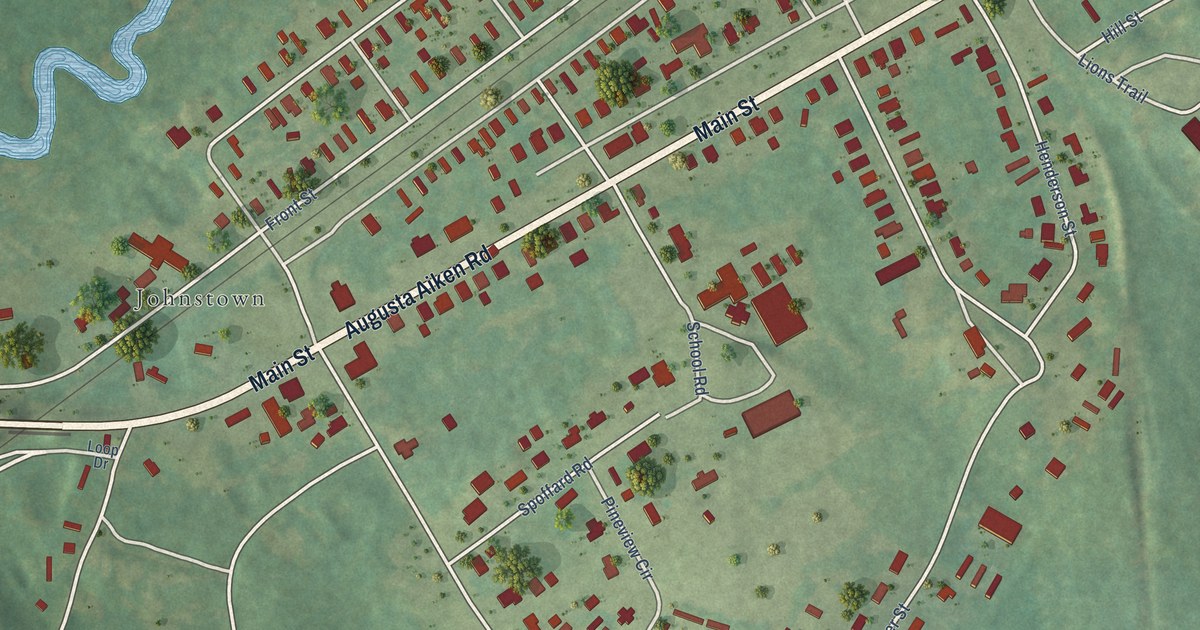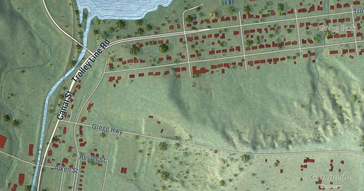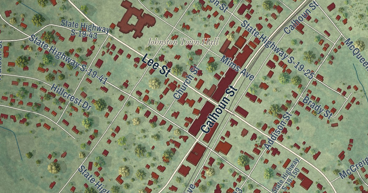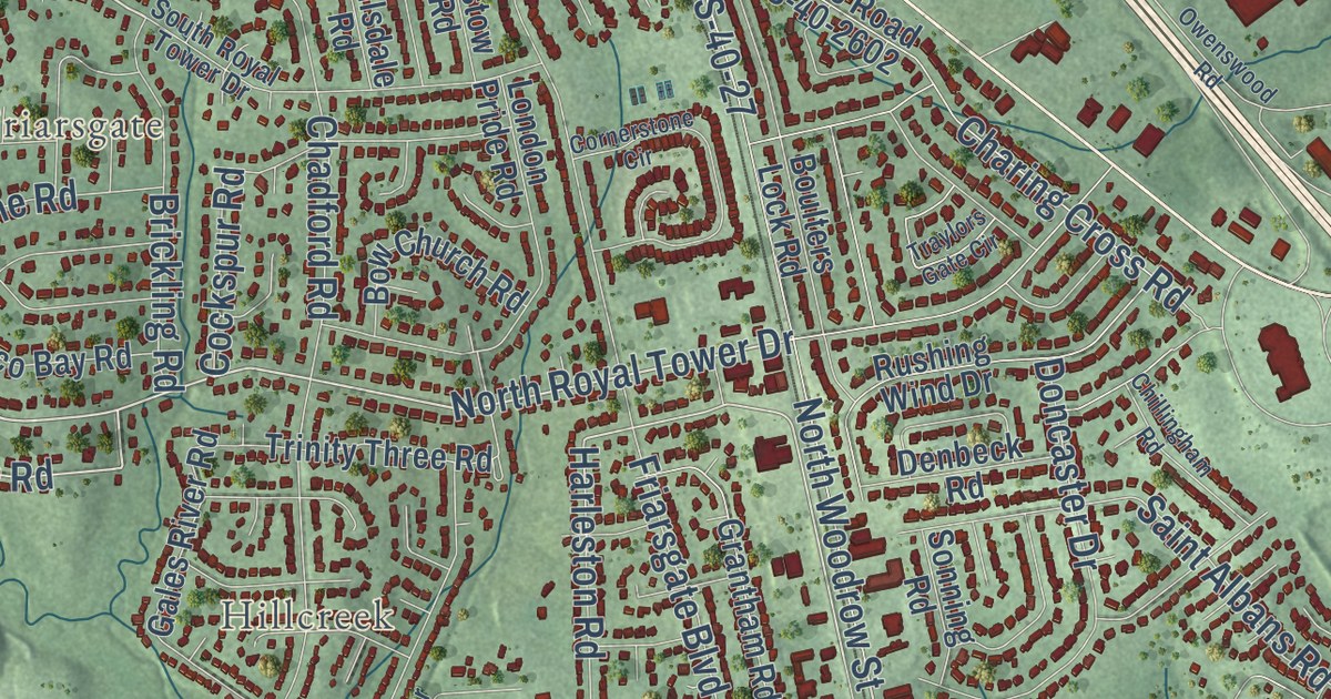
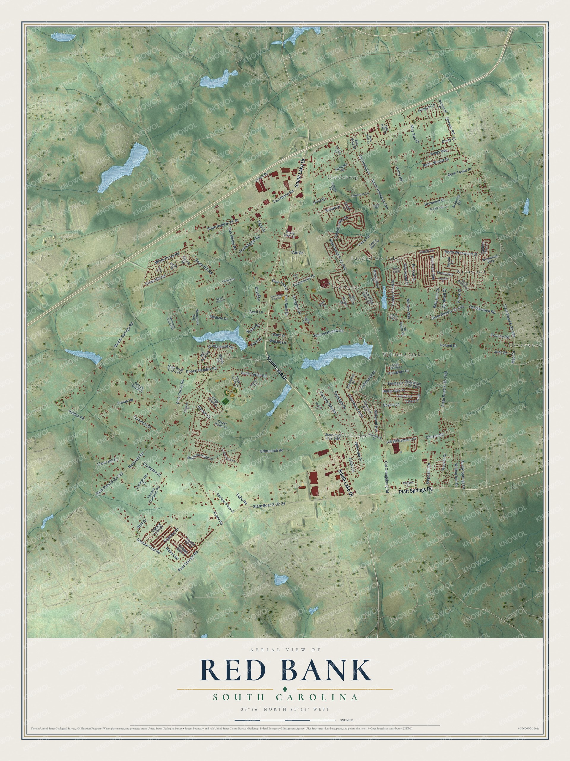
This beautifully detailed map of Red Bank, South Carolina was created in 2026 using aerial imagery combined with modern topographical, census, street and landmark data. It’s a one-of-a-kind view of Red Bank that combines accurate data with a vintage aesthetic. The map shows every building in its true location, many of the roads carry their names, and the shaded topographic relief shows the shape of the land.
Explore an aerial view of Red Bank, South Carolina
On the map you’ll find Honeywood, Harrisburg, Land of the Lakes, Oakridge, Southgate, Walnut Creek, and Wrenwood, along with South Lake Drive, Platt Springs Road, Community Drive, Wilson Lane, Pond Drive, and more. If you look closely you can even find your house accurately drawn in its correct location. Zoom in on the preview to look for yours.
Did you know this piece of Red Bank, South Carolina history?
From the Lexington County SC History: "In 1869 Green built a textile mill on the banks of Red Bank Creek, the first in Lexington County."
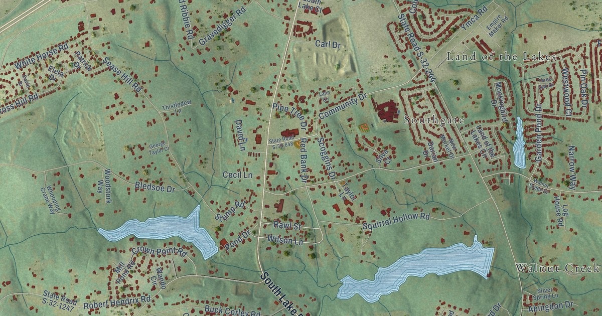
Take a closer look at the Red Bank map
Street and place names on the Red Bank, South Carolina map
These names are printed on the map of Red Bank, South Carolina.
Places: Honeywood, Harrisburg, Land of the Lakes, Oakridge, Southgate, Walnut Creek and Wrenwood.
Streets and roads: South Lake Drive, Platt Springs Road, Community Drive, Wilson Lane, Pond Drive, Garden Pond Drive, Scoggins Drive, State Road S-32-70, Two Notch Road, Old Orangeburg Road, State Road S-32-244, State Road S-32-243.
More street names, A to Z
Abingdon Drive, Adams Road, Alta Vista Court, Barnwell Court, Beck Taylor Place, Bella Vista Court, Belton Drive, Benjamin Drive, Bennett-Foley Lane, Bill Williamson Court, Bledsoe Drive, Bobo Road, Boykin Lane, Brentwood Drive, Briarpatch Road, Britt Court, Browning Court, Browning Extension, Buck Corley Court, Buck Corley Road, Cannon Knoll Drive, Cannon Trail Road, Cardinal Pine Lane, Carl Drive, Cecil Lane, Chason Road, Chateau Drive, Chetsley Drive, Colony Lakes Drive, Concrete Road, Condor Route, Confederate Court, Cornerstone Lane, Country Oak Road, Country Road, Crestwood Arch, Cross Hill Road, Crown Point Road, Crumpton Court, Danwood Avenue, Darian Drive, David Drive, David Lane, Deertrack Run, Dick Corley Road, Dove Drive, Dusty Court, Eleta Drive, Elvington Lane, Emma Drive, Empire Maker Road, Farmdale Drive, Fields Lane, Finch Lane, Foremost Drive, Forest Haven Lane, Frank Street, Freida Road, George Taylor Court, Gravedigger Road, Hallie Hills Place, Hollis Road, Horace Court, June Drive, Kaymin Hill Court, Keegan Rock Court, Kings Point Court, Kings Way, Kyzer Road, Lakewood Drive, Land of the Lakes Circle, Lann Circle, Litton Drive, Log House Road, Louisa Lane, Macaw Lane, Mac Circle, Magnolia Ridge Lane, Marjorie Court, May-Ken Court, Mayapple Drive, Mill Pond Road, Millwood Avenue, Mockingbird Drive, Muddy Springs Road, Narrow Way, Nazareth Road, New Market Drive, North Wrenwood Street, Old Barnwell Road, Old Hampton, Oxbow Lane, Paps Drive, Patrick David Court, Patrick Drive, Phoenix Court, Pine Tree Drive, Pin Oak Drive, Rabon Road, Rawl Street, Red Bank Drive, Red Ribbie Road, Robbie Road, Robert Hendrix Road, Robin Woods Drive, Roger Road, Roland Drive, Rowland Pines Court, Sandy Springs Lane, San Palo Court, Sease Hill Road, Shirway Road, Silva Court, Silver Spring Lane, Simmons Lane, Simmons Road, Slater Hill Drive, South Hampton Avenue, South Lake Court, Southwood Drive, South Wrenwood, Squirrel Hollow Road, State Road S-32-34, State Road S-32-104, State Road S-32-648, State Road S-32-686, State Road S-32-1247, State Road S-32-1451, State Road S-32-1452, State Road S-32-1453, Stephanie Drive, Stump Road, Taylor Lane, Thistledew Lane, Thomas Crumpton Road, Three Oak Drive, Tylers Trail, Vernon Drive, Walnut Creek Drive, Wando Circle, Weaver Drive, Westwood Court, White Horse Road, Whooping Crane Way, Wilhowie Drive, Willma Ann Drive, Woodcraft Drive, Woodstork Way, Wrenwood Way, Ymca Road.
See the Red Bank, South Carolina map on a wall
The Red Bank map as an 18 x 24 inch print in a black frame.

This beautifully detailed map of Red Bank makes an attractive addition to your office, library, or den, and it can even be used to teach children the geography and history of the area. It also makes a great gift for anyone who grew up in Red Bank or moved away. When you’re done exploring, click here to get your copy of the Red Bank map.