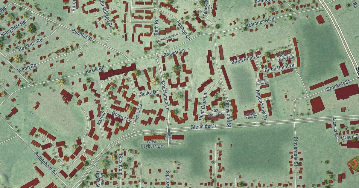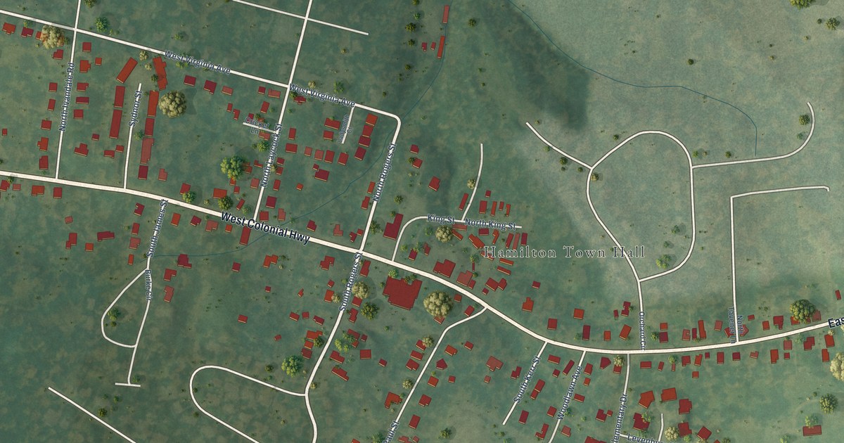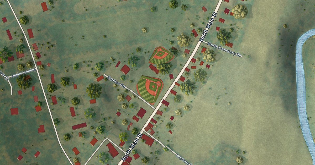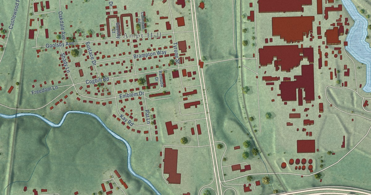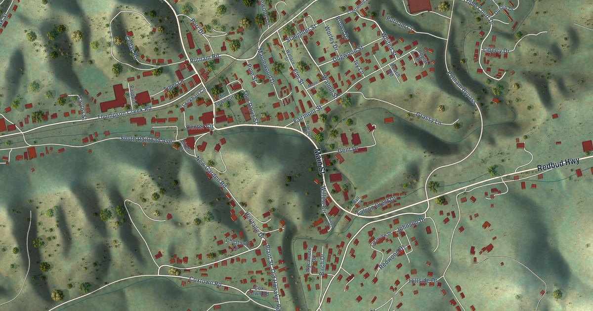
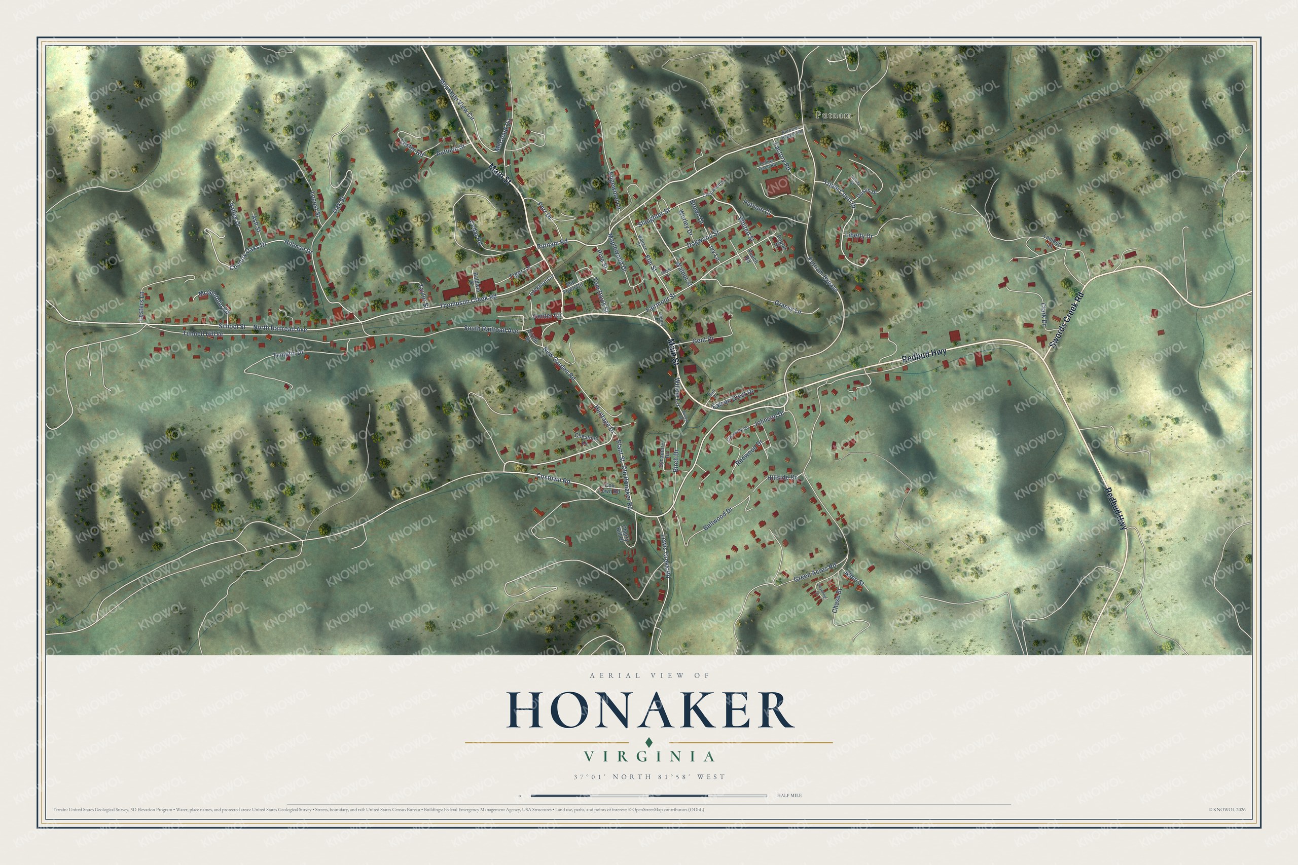
This beautifully detailed map of Honaker, Virginia was created in 2026 using aerial imagery combined with modern topographical, census, street and landmark data. It's a modern aerial view of Honaker in Russell County, Virginia, that combines modern data with a vintage aesthetic. The roads feature printed names, and if you look closely you can find your exact house accurately shown in its correct location.
Explore an aerial view of Honaker, Virginia
On this map you'll find Putnam, Redbud Highway, Main Street, Swords Creek Road, Putnam Road, Plant Street, Whited Street, Putnam Bypass, Slaughter Street, Coxtown Road, Heritage Drive, Thompson Creek Road, and more. Each red shape is a building, so zoom in on the preview and look for yours.
Every town has a first chapter, and Honaker is no exception. The record at dhr.virginia.gov puts it this way: "Constructed around 1895, the
Zed Slaughter Building appears to be the oldest standing commercial building in town, thus it alone reflects Honaker’s
most prosperous period, around the turn of the twentieth century."
Honaker is a town in Russell County. The Census Bureau counted 1,217 people here in 2020.
Take a closer look at the Honaker map
Names on this map
These names are printed on this map.
Places: Putnam.
Streets and roads: Redbud Highway, Main Street, Swords Creek Road, Putnam Road, Plant Street, Whited Street, Putnam Bypass, Slaughter Street, Coxtown Road, Heritage Drive, Thompson Creek Road, Elm Street.
More street names, A to Z
Allen Street, Ash Street, Autumn Street, Baldwin Drive, Ball Drive, Bellwood Drive, Birch Drive, Brown Drive, Cedar Road, Center Circle, Chanting Street, Chase Street, Cherry Hill Drive, Chestnut Lane, Circle Drive, Clark Drive, Clearview Drive, Country Oaks Drive, Cox Town Road, Crestwood Drive, Dogwood Street, Dustin Drive, Edgewood Lane, Factory Road, Fairmont Street, Falcon Crest Drive, Gent Drive, Grassy Lane, Green Acres Road, Harvey Street, Hillman Drive, Hillside Drive, Ivy Lane, Johnson Drive, Lambert Lane, Lester Road, Lesters Lane, Lewis Creek Road, Liberty Drive, Library Drive, Lockhart Circle, Locust Street, Maple Drive, Maplewood Drive, McCloud Circle, McGlothlin Road, Mid Town Circle, Mountain View Circle, New Garden Road, North Railroad Avenue, Oak Street, Old Honaker Road, Parr Drive, Peach Road, Pine Street, Poplar Street, Purtnam Bypass Road, Putnam Court, Redwood Drive, School Street, South Railroad Avenue, Sycamore Drive, Taylor Street, Templin Drive, Tiger Lane, Tom Davis Street, Triple Court Drive, Tunnell Hill Drive, Valley Drive, Wallace Street, Walnut Street, Willow Circle, Willow Road, Worley Drive, Yellow Finch Road.
Created by KNOWOL in 2026. The buildings are small red shapes, the roads carry their printed names, and shaded relief shows the shape of the land. The title panel reads "AERIAL VIEW OF HONAKER VIRGINIA".
Hang it in the hallway, the office or the cabin, or give it to someone who left Honaker and still calls it home. Open the preview and look for a street you know. See sizes and frames for the Honaker map.