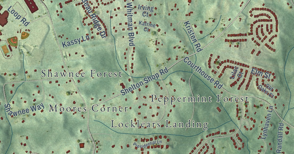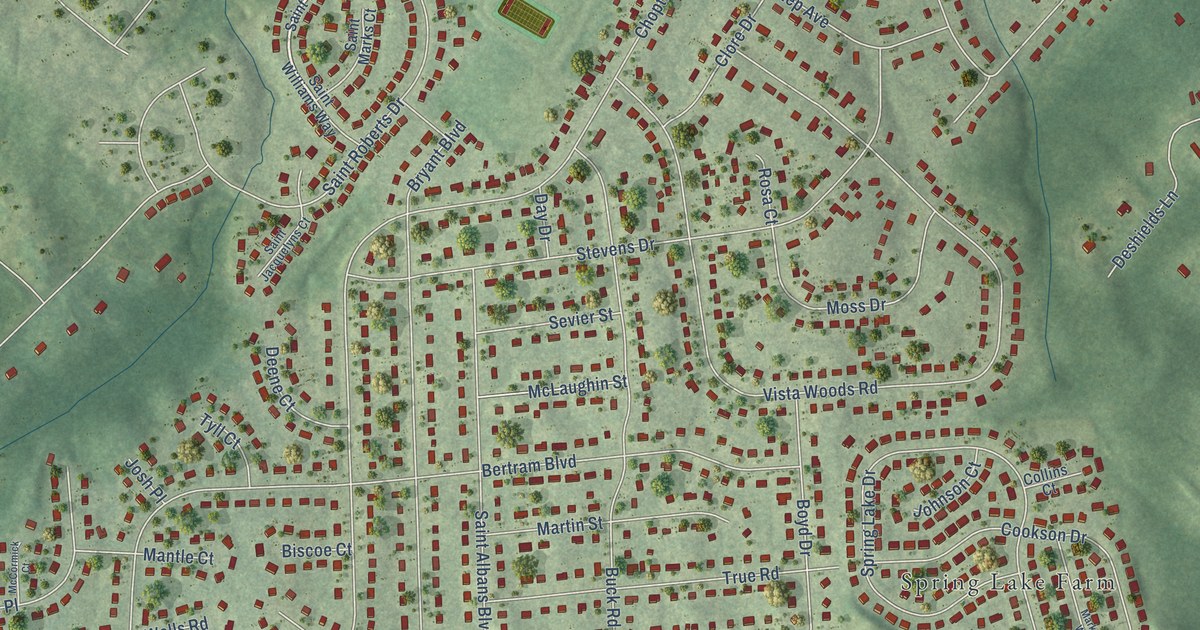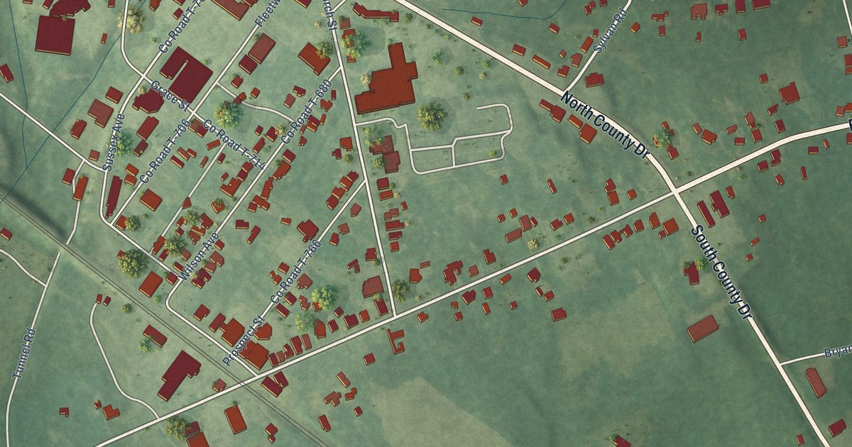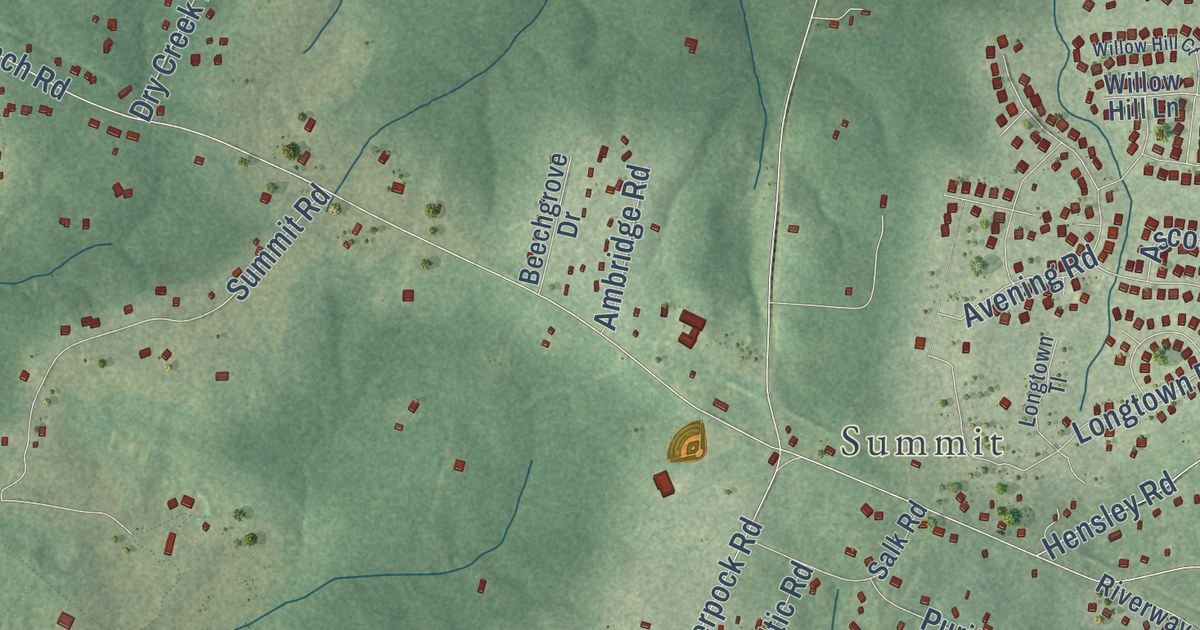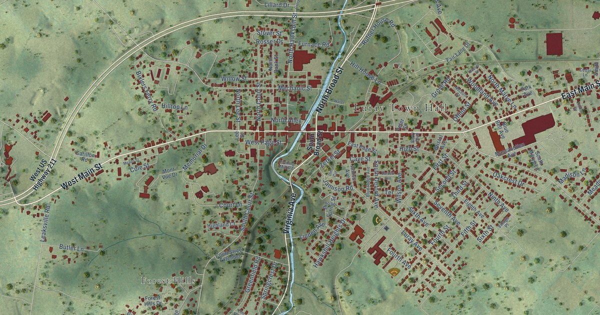
This beautifully detailed map of Luray, Virginia was created in 2026 using aerial imagery combined with modern topographical, census, street and landmark data. It’s a one-of-a-kind view of Luray that combines accurate data with a vintage aesthetic. The map shows every building in its true location, many of the roads carry their names, and the shaded topographic relief shows the shape of the land.
Explore an aerial view of Luray, Virginia
On the map you’ll find Luray Town Hall, Spring View, Fairview, Westlu, Hilldale, Brookside, Forest Hills, and Woodland Park, along with West Main Street, North Broad Street, Virginia Avenue, East Main Street, and more. If you look closely you can even find your house accurately drawn in its correct location. Zoom in on the preview to look for yours.
Did you know this piece of Luray, Virginia history?
William Staige Marye founded Luray in 1812 and chose a name tied to his family ancestry in Luray, France, giving the Virginia town a direct Old World connection.
Take a closer look at the Luray map
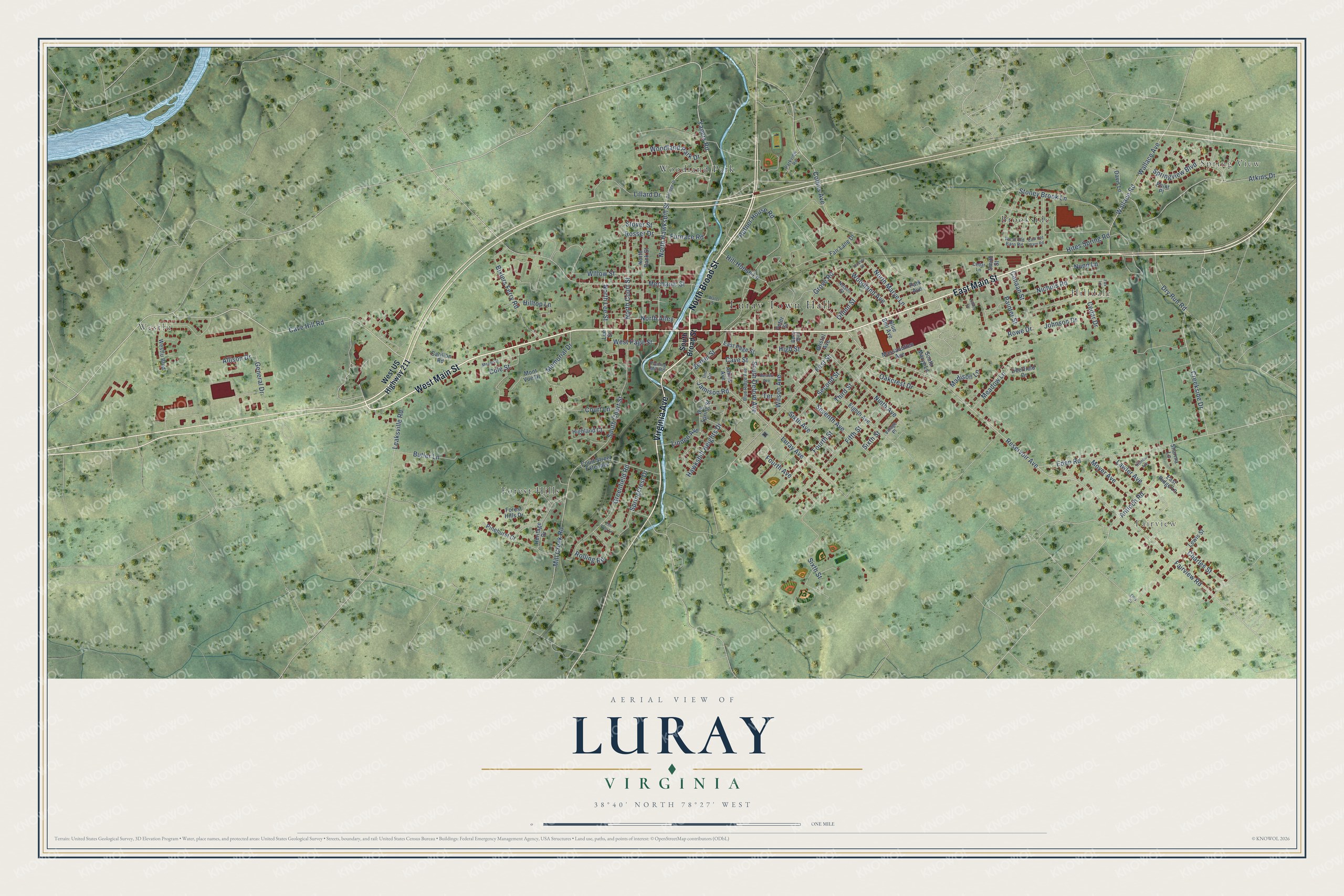
Street and place names on the Luray, Virginia map
These names are printed on the map of Luray, Virginia.
Places: Luray Town Hall, Spring View, Fairview, Westlu, Hilldale, Brookside, Forest Hills and Woodland Park.
Streets and roads: West Main Street, North Broad Street, Virginia Avenue, East Main Street, Cave Hill Road, Yagers Road, North Hawksbill Street, West Page Street, Bixlers Ferry Road, North Lee Street, Jamison Road, Reservoir Avenue.
More street names, A to Z
Allison Drive, Amiss Avenue, Antioch Road, Atkins Drive, Bartlett Avenue, Berry Boulevard, Big Spring Street, Blue Bell Avenue, Blue Ridge Avenue, Bristol Avenue, Butler Lane, Canaan Street, Carillon Road, Cave Street, Cedar Drive, Cedar Lane, Charles Street, Cole Street, Collins Avenue, Cottage Drive, Court Lane, Court Street Extended, Creekside Drive, Cumbia Avenue, Davis Lane, Deerfield Drive, Dry Run Road, East Old Barn Road, East Page Street, East Ridge Lane, Eden Road, Eighth Avenue, Ellis Drive, Elm Tree Lane, Fair Lane Drive, Fairview Road, Fifth Street, First Street, Forest Hills Drive, Fourth Avenue, Fourth Street, Fox Lane, Furnace Road, General Drive, Greenfield Road, Grove Road, Hawksbill Heights Drive, Heritage Drive, Highland Court, High Street, Hill House Lane, Hilltop Drive, Hilltop Lane, Hites Spring Road, Inn Circle, Johnson Drive, Lawler Avenue, Leaksville Road, Lee Street, Lewis Street, Lillard Drive, Linden Avenue, Luray Avenue, Madison Lane, Massanutten Avenue, Meade Street, Meadow Lane, Mechanic Street, Memorial Drive, Mill Creek Road, Mont Vue Drive, Moyer Avenue, Nelson Street, Nichols Road, Ninth Avenue, North Alley, North Bank Street, North Court Street, North Marye Lane, Nunn Lane, Oakcrest Drive, Oflinn Street, Painter Street, Park Avenue, Parkview Road, Peter Street, Pinehurst Court, Planing Mill Road, Point Place, Rolling Road, Rosser Drive, Rosser Street, Rowe Drive, Rufner House Road, Second Street, Seventh Avenue, Sharma Lane, Sixth Avenue, Sixth Street, Smith Street, South Broad Street, South Court Street, South Deford Avenue, South Marye Lane, Springcrest Drive, Springview Boulevard, Stoney Brook Lane, Stover Street, Terrace, Third Street, Village Place, Wallace Avenue, Wallace Road, Water Street, Westlu Boulevard, West Old Barn Road, West US Highway 211, Willow Street, Wilson Avenue, Woodland Avenue, Woodland Park Drive, Zerkel Street.
See the Luray, Virginia map on a wall
The Luray map as an 18 x 24 inch print in a black frame.

This beautifully detailed map of Luray makes an attractive addition to your office, library, or den, and it can even be used to teach children the geography and history of the area. It also makes a great gift for anyone who grew up in Luray or moved away. When you’re done exploring, click here to get your copy of the Luray map.