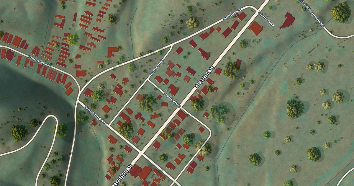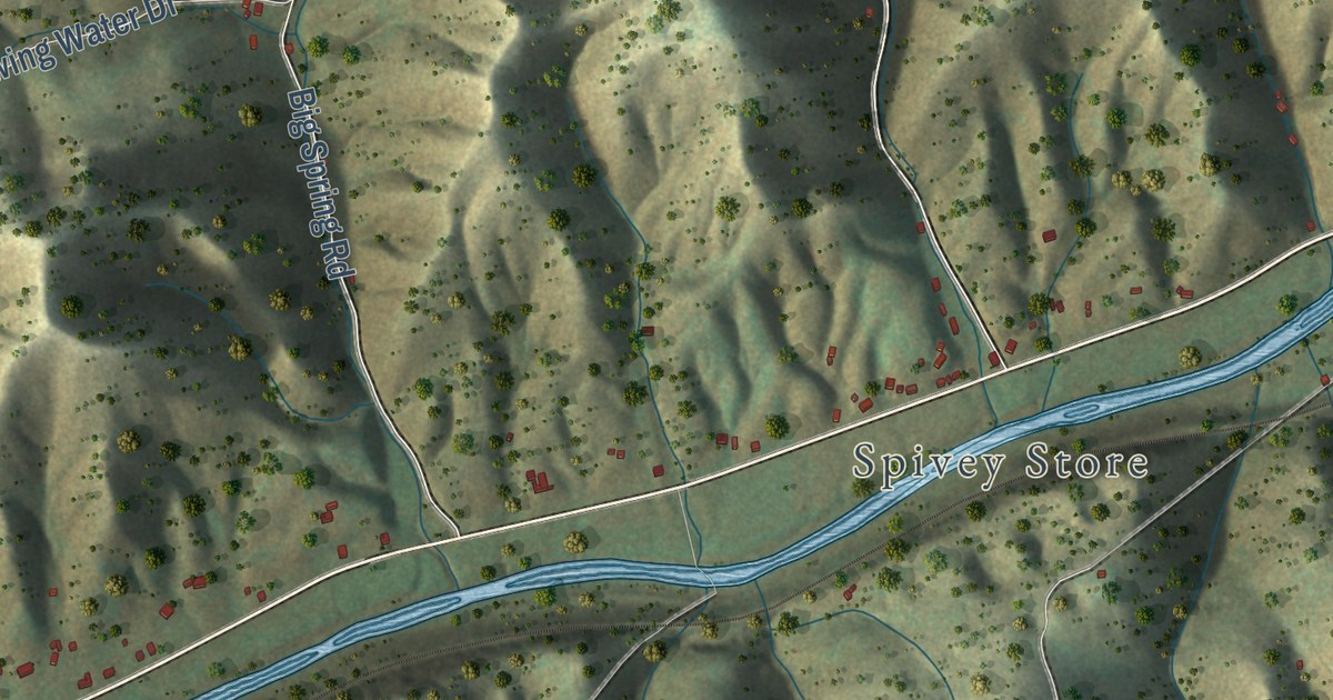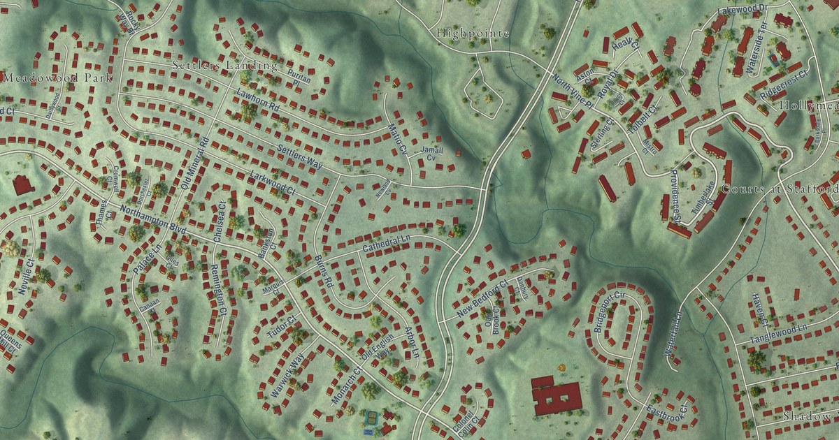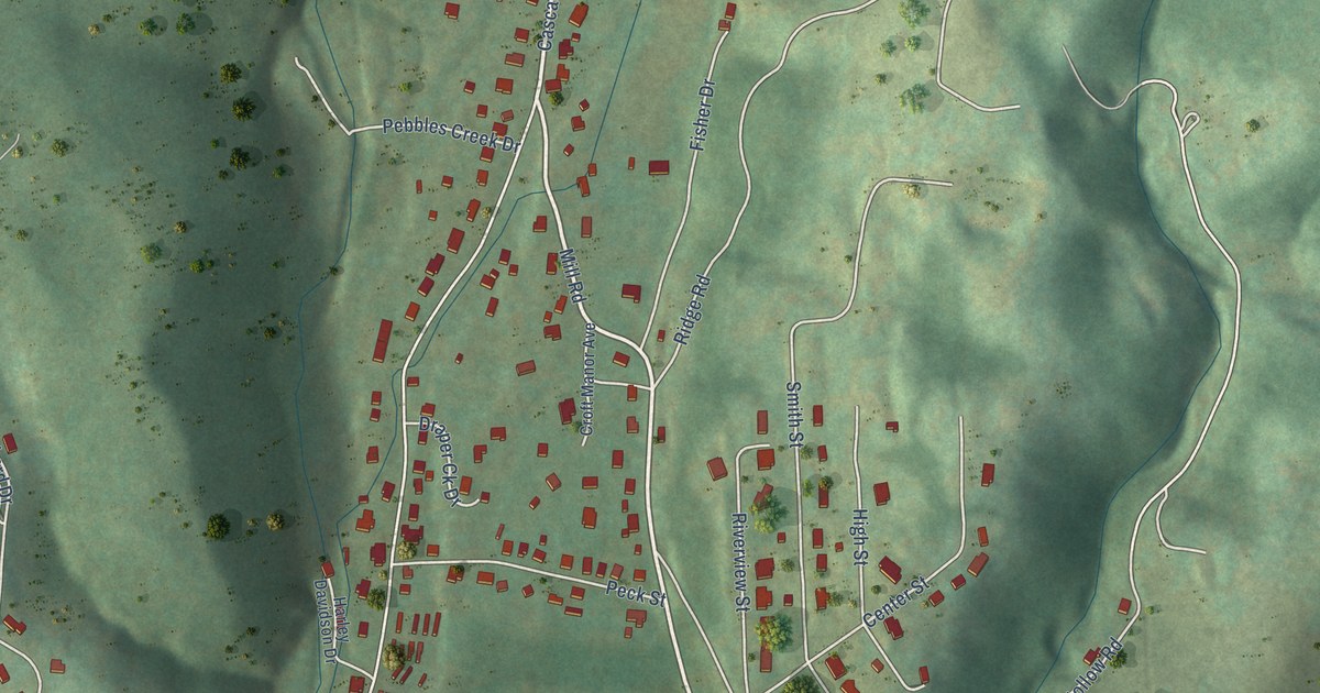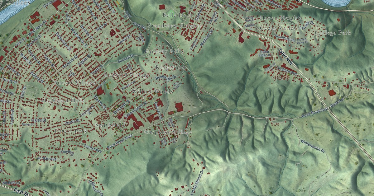
This beautifully detailed map of Radford, Virginia was created in 2026 using aerial imagery combined with modern topographical, census, street and landmark data. It’s a one-of-a-kind view of Radford that combines accurate data with a vintage aesthetic. The map shows every building in its true location, many of the roads carry their names, and the shaded topographic relief shows the shape of the land.
Explore an aerial view of Radford, Virginia
On the map you’ll find Radford City Offices, New Town, College Park, Ingles Farm, Wildwood Park, Belle Heth, Cedar Valley, East Radford, Forest Park, Grandview Heights, Haven Heights, Hickory Hills, and more. If you look closely you can even find your house accurately drawn in its correct location. Zoom in on the preview to look for yours.
Did you know this piece of Radford, Virginia history?
From Vcris.dhr.virginia.gov: "The first church of the Baptist denomination in Radford, Lovely Mount/First Baptist Church served the African American community for more than 60 years until Radford College purchased it in 1961 and demolished it to expand Peters Hall."
Take a closer look at the Radford map
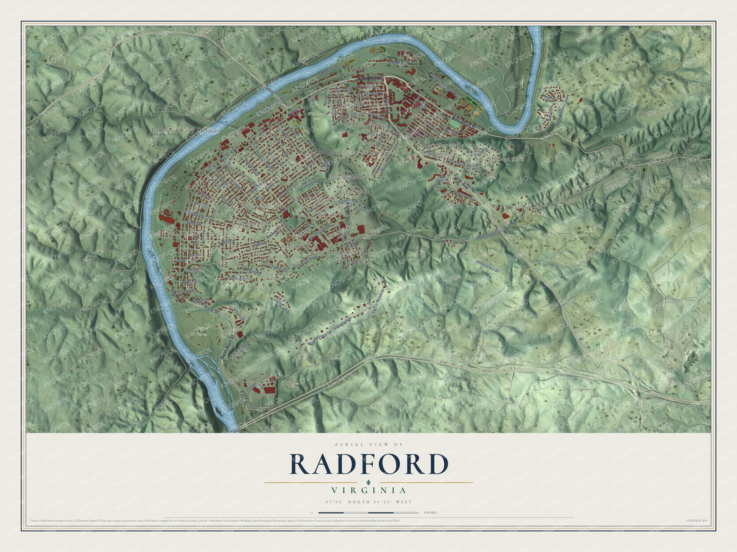
Street and place names on the Radford, Virginia map
These names are printed on the map of Radford, Virginia.
Places: Radford City Offices, New Town, College Park, Ingles Farm, Wildwood Park, Belle Heth, Cedar Valley, East Radford, Forest Park, Grandview Heights, Haven Heights, Hickory Hills, Highland Hills, Mill Village, Monroe Terrace, Radford Village, Ridgefield, Simpkins Village, Smithfield, Sunset Village and Willow Woods.
Streets and roads: East Main Street, First Street, West Main Street, Tyler Avenue, Rock Road West, Rock Road East, Rock Road, Auburn Avenue, Park Road, Madison Street, Wintergreen Drive, Lovely Mount Drive.
More street names, A to Z
Adams Street, Arlington Avenue, Barton Street, Berkley Street, Berkley Williams Drive, Bolling Street, Calhoun Street, Carter Street, Cedar Ridge Drive, Charmont Drive, Clement Street, Corporate Drive, Cowan Street, Custis Street, Dalton Drive, Davis Street, Denby Street, Downey Street, Duncan Lane, Eighth Avenue, Eighth Street, Fairfax Street, Fairway Drive, Fifth Avenue, Fifth Street, First Avenue, Forest Avenue, Fourteenth Street, Fourth Avenue, Fourth Street, Grandview Drive, Greenbrier Drive, Grove Avenue, Hammett Avenue, Harvey Street, Henry Street, Hidden Valley Drive, High Meadows Parkway, Howe Street, Ingles Street, Inglewood Drive, Jefferson Street, Jeffries Drive, Jordan Avenue, Kent Street, Lawrence Street, Lee Street, Lester Street, Lyle Street, Martin Avenue, Meadow Ridge, Midkiff Lane, Milton Lane, Monroe Street, Morton Street, Mountain Drive, New River Drive, Ninth Avenue, Ninth Street, Oakland Avenue, Oak Lane, Page Street, Pendleton Street, Pine View Drive, Polk Street, Preston Street, Pulaski Street, Randolph Street, Ridgewood Lane, River Street, Robertson Street, Round Hill Drive, Sanford Street, Scott Street, Second Street, Seventeenth Street, Seventh Avenue, Seventh Street, Sixteenth Street, Sixth Avenue, Sixth Street, Smith Avenue, Smyth Drive, Staples Street, State Street, Stockton Street, Sullivan Street, Sundell Drive, Taylor Street, Tenth Street, Third Avenue, Third Street, Twelfth Street, University Drive, Unruh Drive, Valley View Street, Vista Road, Wadsworth Street, Walker Drive, Walker Street, Watts Street, West Street, Wild Partridge Lane, Wildwood Park Drive, Williams Avenue, Windsor Street.
See the Radford, Virginia map on a wall
The Radford map as an 18 x 24 inch print in a black frame.

This beautifully detailed map of Radford makes an attractive addition to your office, library, or den, and it can even be used to teach children the geography and history of the area. It also makes a great gift for anyone with Radford roots. When you’re done exploring, click here to get your copy of the Radford map.