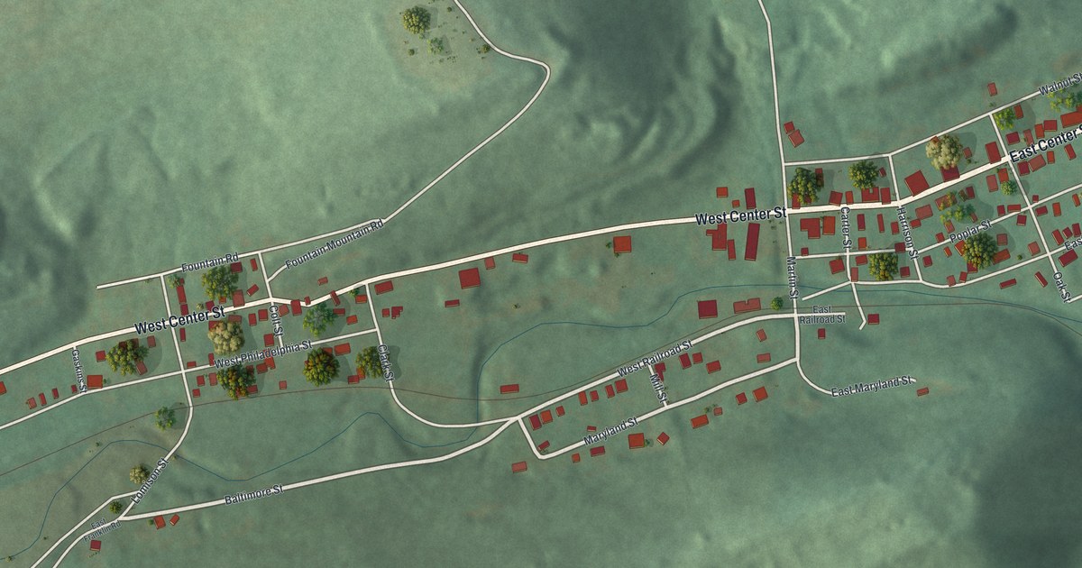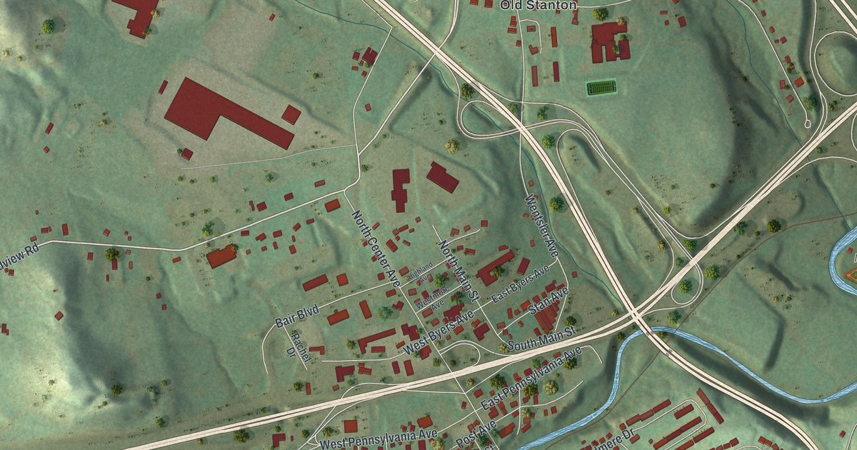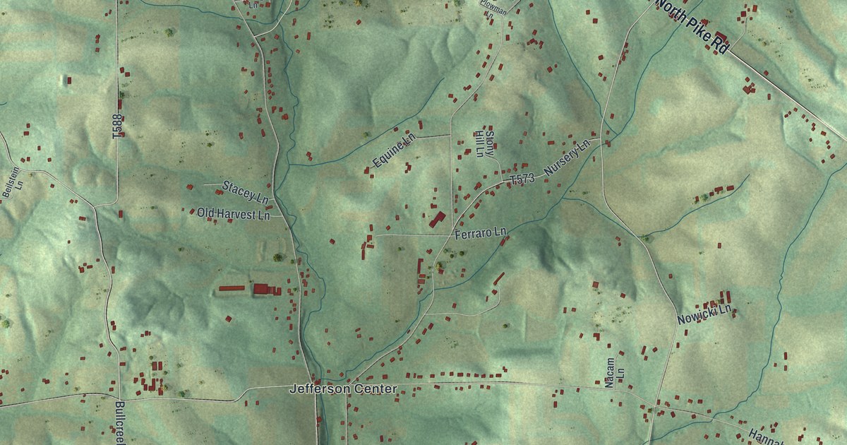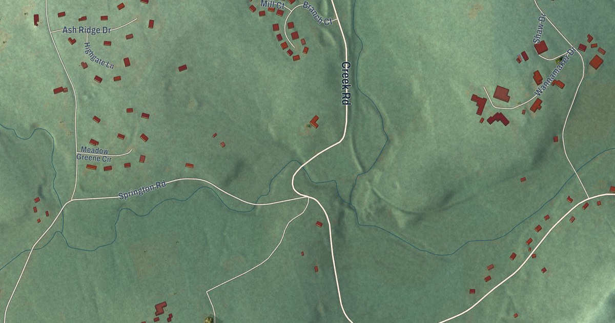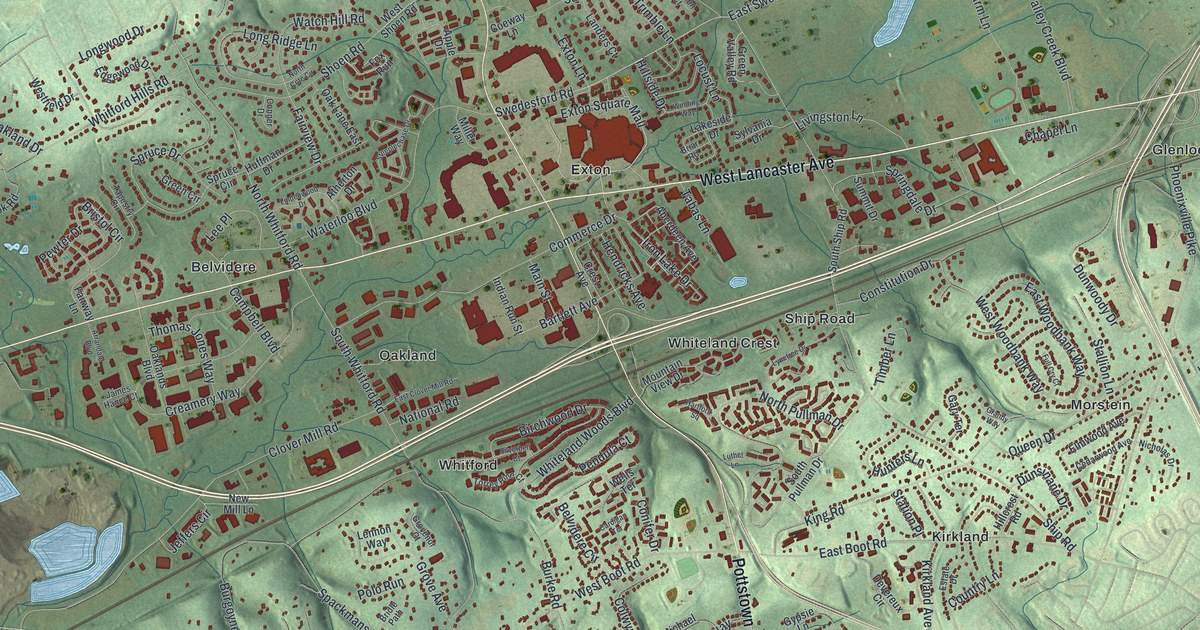
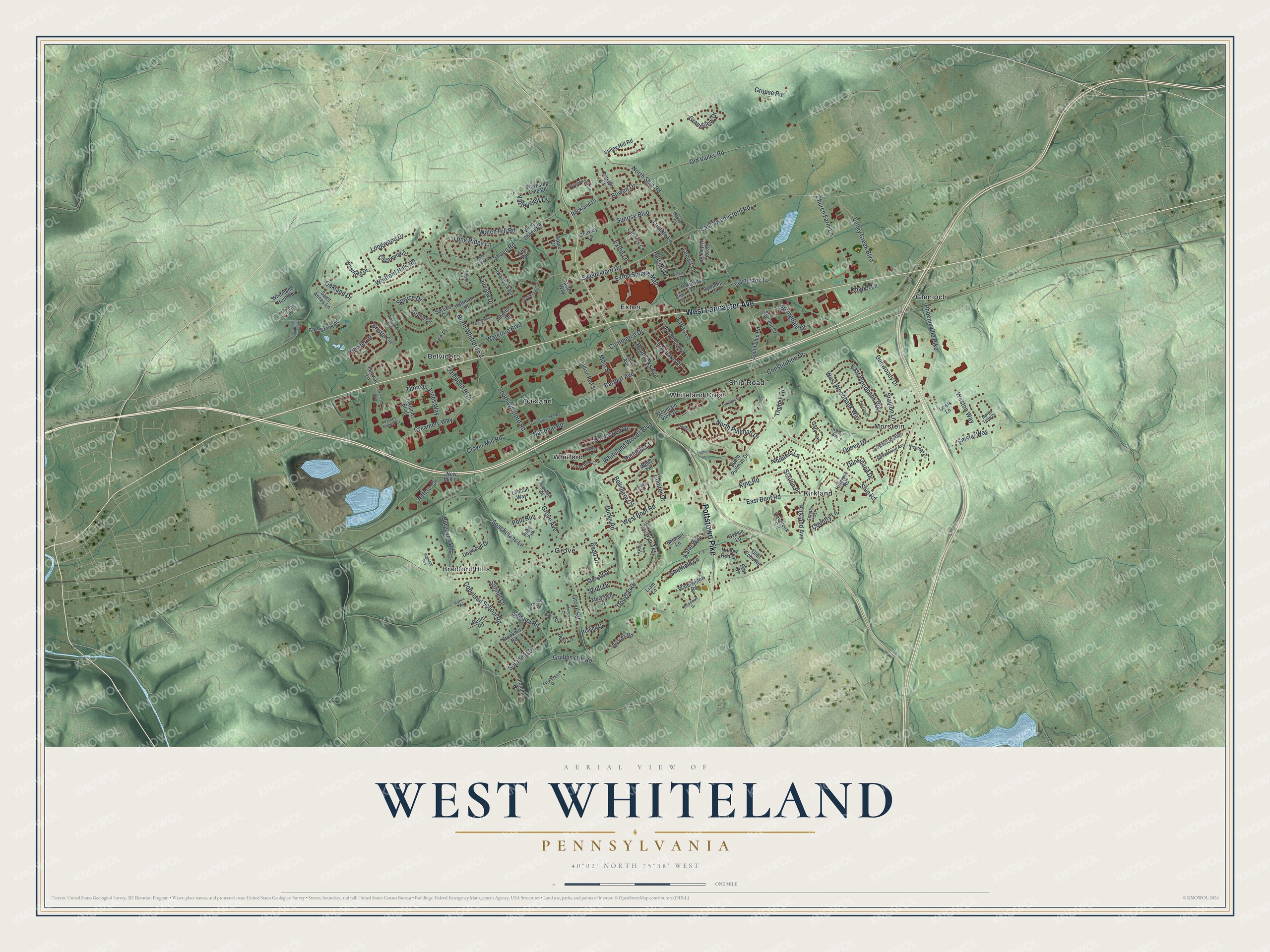
This beautifully detailed map of West Whiteland, Pennsylvania was created in 2026 using aerial imagery combined with modern topographical, census, street and landmark data. It’s a one-of-a-kind view of West Whiteland that combines accurate data with a vintage aesthetic. The map shows every building in its true location, many of the roads carry their names, and the shaded topographic relief shows the shape of the land.
Explore an aerial view of West Whiteland, Pennsylvania
On the map you’ll find Belvidere, Bradford Hills, Exton, Glenloch, Grove, Kirkland, Morstein, Oakland, Whiteland Crest, and Whitford, along with Ship Road, Pottstown Pike, and more. If you look closely you can even find your house accurately drawn in its correct location. Zoom in on the preview to look for yours.
Did you know this piece of West Whiteland, Pennsylvania history?
From West Whiteland Township: "The Township has updated its roster of historical properties, which now includes over 400 sites, homes, converted houses, root cellars, barns and outbuildings. Thanks to a Vision Partnership Program planning grant from the Chester County Planning Commission, the Township was able to conduct the first update since the original inventory of 200 properties was compiled in 1982."
Take a closer look at the West Whiteland map
Street and place names on the West Whiteland, Pennsylvania map
These names are printed on the map of West Whiteland, Pennsylvania.
Places: Belvidere, Bradford Hills, Exton, Glenloch, Grove, Kirkland, Morstein, Oakland, Ship Road, Whiteland Crest and Whitford.
Streets and roads: Pottstown Pike, West Lancaster Avenue, Belvidere Circle, Swedesford Road, East Swedesford Road, King Road, West Boot Road, South Whitford Road, North Ship Road, Burke Road, Phoenixville Pike, Creamery Way.
More street names, A to Z
Aberdeen Avenue, Amstel Way, Apple Drive, Arrandale Boulevard, Atherton Drive, Bartlett Avenue, Beam Road, Beau Drive, Birchwood Drive, Bowen Drive, Briar Road, Bridle Path, Bristol Circle, Brookhill Road, Burgoyne Road, Campbell Boulevard, Cardigan Terrace, Cedarwood Avenue, Chapel Lane, Church Farm Lane, Clover Mill Road, Coeway Lane, Cole Brook Road, Colwyn Terrace, Commerce Drive, Conifer Drive, Conner Drive, Constitution Drive, Copeland School Road, Country Lane, Crest Avenue, Deer Lane, Devereux Circle, Dogwood Drive, Douglas Drive, Dunsinane Drive, Dunwoody Drive, East Boot Road, East Clover Mill Road, East Woodbank Way, Edgewood Drive, Elmwood Avenue, Erin Drive, Estate Drive, Exton Lane, Exton Square Mall, Fairview Drive, Fairway Lane, Fox Run, Full Cry Court, Gary Terrace, Glen Echo Road, Granby Way, Grandview Drive, Green Circle, Green Valley Road, Grouse Road, Grove Avenue, Grovenor Court, Grove Road, Grubbs Mill Road, Gypsie Lane, Hartford Square, Hendricks Avenue, Highland Avenue, Hillcrest Road, Hillside Drive, Hollow Run Lane, Horizon Court, Huffman Drive, Hunters Lane, Indian Run Street, Iron Lake Drive, James Hance Court, Jeffers Circle, Katie Way, Kirkland Avenue, Lakeside Drive, Landers Court, Laydon Lane, Lee Place, Lennon Way, Lewis Lane, Liam Lane, Lindenwood Drive, Livingston Lane, Locust Lane, Long Ridge Lane, Longwood Drive, Luther Lane, Lynetree Drive, Macpherson Drive, Main Street, McGregor Drive, Memory Lane, Michael Lane, Miller Way, Mountain View Drive, National Road, New Mill Lane, Nicholas Drive, North Cote Circle, North Pullman Drive, North Tulip Drive, North Whitford Road, Oakland Drive, Oaklands Boulevard, Oak Lane East, Old Kings Highway, Old Valley Road, Oriole Drive, Palomino Drive, Pendula Court, Pewter Drive, Polo Run, Preston Court, Queen Drive, Ravine Road, Rockland Drive, Rolling Drive, Saint Annes Lane, Samuel Road, Scott Drive, Sheffield Lane, Shoen Road, Silverbell Court, Sonnet Lane, Southern Drive, South Pullman Drive, South Ship Road, Spackmans Lane, Springdale Drive, Spruce Circle, Spruce Drive, Stallion Lane, Station Place, Steeplechase Drive, Stewart Drive, Summit Drive, Sunrise Boulevard, Sunset Lane, Sussex Road, Sylvania Drive, Tabas Lane, Tapestry Circle, Thomas Jones Way, Thomas Road, Timber Lane, Torrey Pine Court, Township Line Road, Trimble Lane, Valley Creek Boulevard, Valley Hill Road, Valleyview Drive, Watch Hill Road, Waterloo Boulevard, Waterwillow Road, Wells Terrace, Westfield Drive, Weston Way, West Shoen Road, West Woodbank Way, Whiteland Hills Circle, Whiteland Hunt Road, Whiteland Woods Boulevard, Whitford Hills Road, Winding Way, Woodmint Drive.
See the West Whiteland, Pennsylvania map on a wall
The West Whiteland map as an 18 x 24 inch print in a black frame.

This beautifully detailed map of West Whiteland makes an attractive addition to your office, library, or den, and it can even be used to teach children the geography and history of the area. It also makes a great gift for anyone with West Whiteland roots. When you’re done exploring, click here to get your copy of the West Whiteland map.