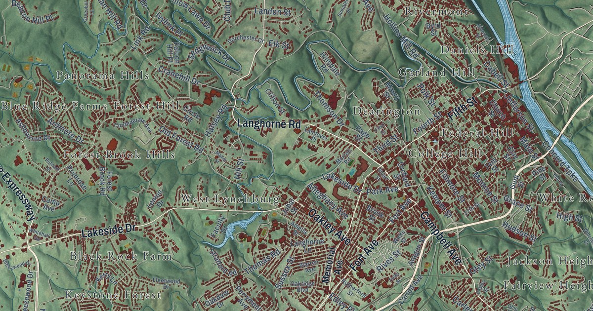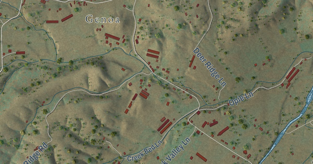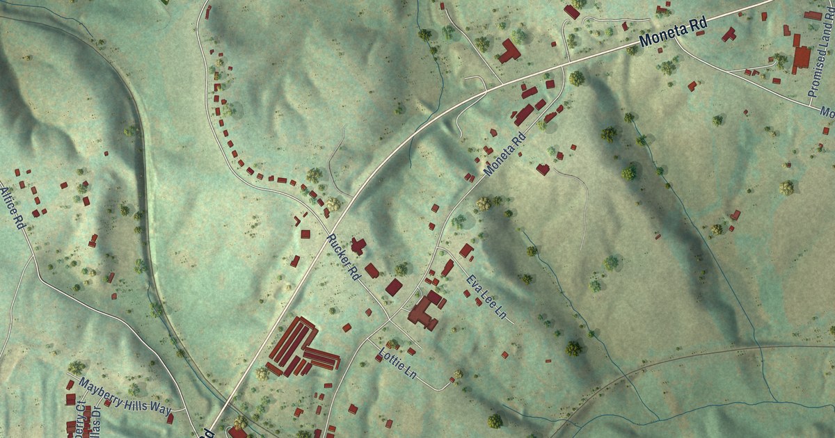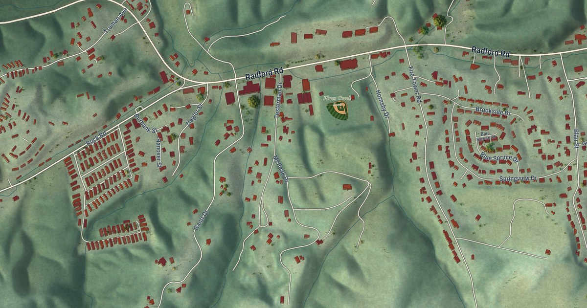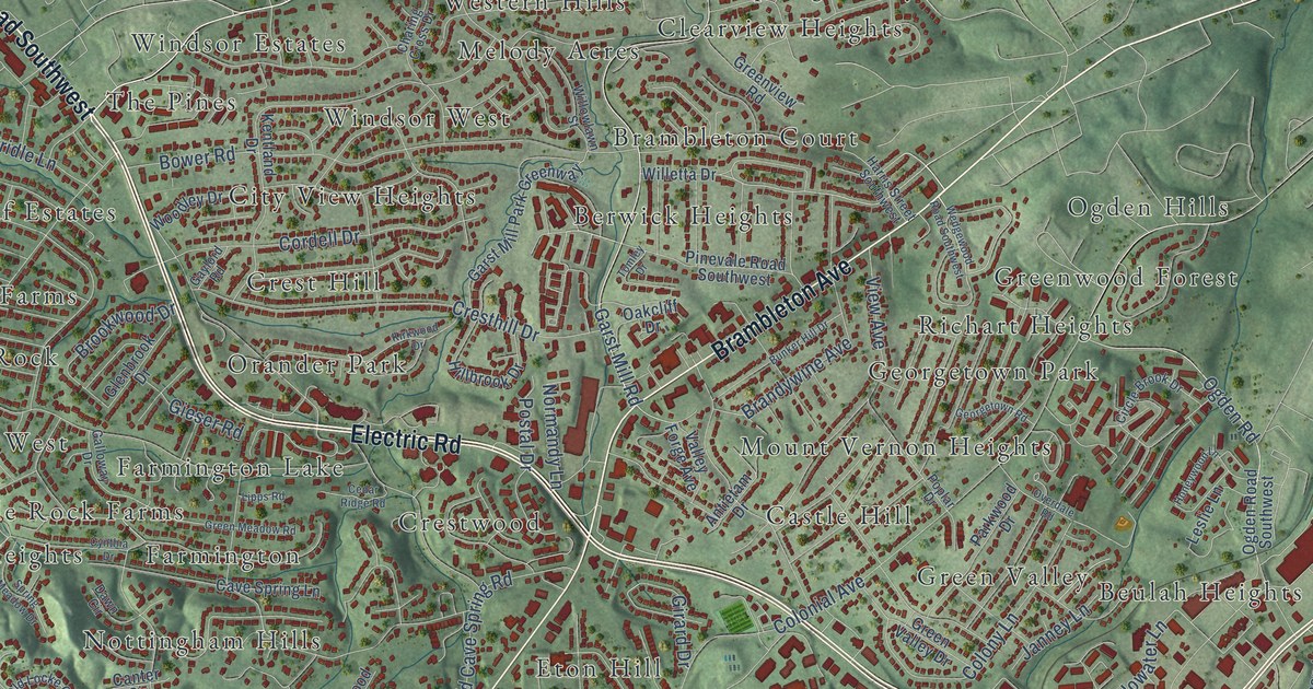
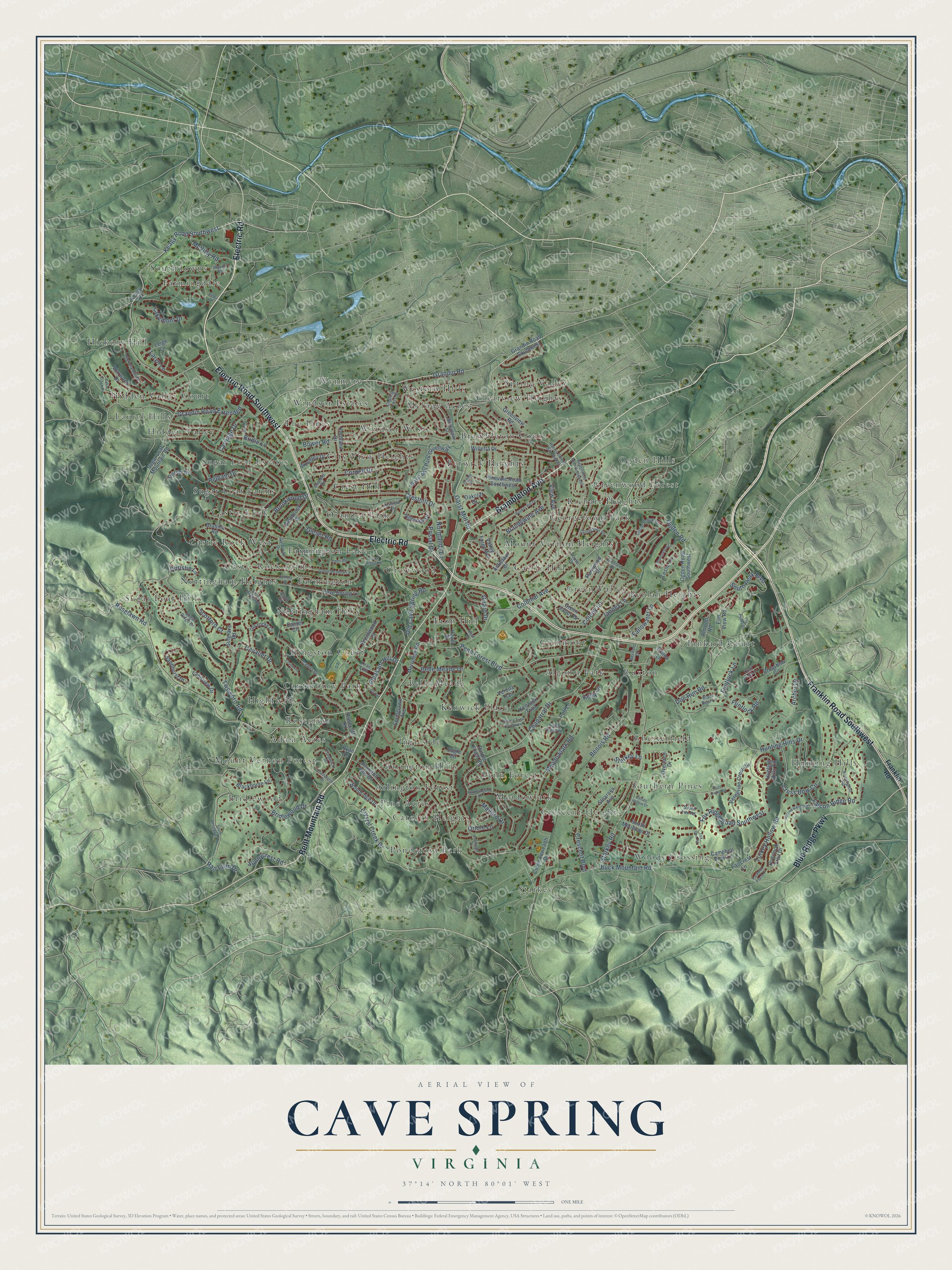
This beautifully detailed map of Cave Spring, Virginia was created in 2026 using aerial imagery combined with modern topographical, census, street and landmark data. It’s a one-of-a-kind view of Cave Spring that combines accurate data with a vintage aesthetic. The map shows every building in its true location, many of the roads carry their names, and the shaded topographic relief shows the shape of the land.
Explore an aerial view of Cave Spring, Virginia
On the map you’ll find Adam Acres, Algoma Park, Arlington Forest, Arlington Hills, Belle Meade, Berwick Heights, Beulah Heights, Bridlewood, Canterbury Park, Carolyn Heights, and Castle Hill, along with Brambleton Court, and more. If you look closely you can even find your house accurately drawn in its correct location. Zoom in on the preview to look for yours.
Did you know this piece of Cave Spring, Virginia history?
From the WSLS 10 News: "By 1885, Cave Springs had three stores, three grist mills, two sawmills, several churches, and established family residences."
Take a closer look at the Cave Spring map
Street and place names on the Cave Spring, Virginia map
These names are printed on the map of Cave Spring, Virginia.
Places: Adam Acres, Algoma Park, Arlington Forest, Arlington Hills, Belle Meade, Berwick Heights, Beulah Heights, Brambleton Court, Bridlewood, Canterbury Park, Carolyn Heights, Castle Hill, Castle Rock, Castle Rock Farms, Castle Rock West, Chesterfield, City View Heights, Clearview Heights, Crescent Heights, Crest Hill, Crestwood, Eton Hill, Farmingdale, Farmington, Farmington Lake, Georgetown Park, Glenmont, Green Valley, Greenwood Forest, Hickory Hill, Hidden Valley, Hidden Valley Court, Highfields, Hunting Hills, Ingleside, Kenwick Place, Kingston Court, Laurel Hills, Meadowlark, Melody Acres, Mount Vernon Forest, Mount Vernon Heights, Nottingham Heights, Nottingham Hills, Ogden Hills, Orander Park, Penn Forest, Pine Acres, Pinkard Court, Ponderosa Park, Richart Heights, Rosecrest, Ruxton, Southdowns, Southern Pines, Spring Valley, Starkey, Sugar Loaf Estates, Sugar Loaf Farms, Sugar Loaf Hills, The Pines, Western Hills, Windsor Estates, Windsor West, Woods Crossing and Wynmere.
Streets and roads: Electric Road, Electric Road Southwest, Bent Mountain Road, Brambleton Avenue, Franklin Road Southwest, Blue Ridge Parkway, Grandin Road, Garst Mill Road, Roselawn Road, Keagy Road Southwest, Penn Forest Boulevard, Starkey Road.
More street names, A to Z
Almond Road, Antietam Drive, Archer Drive, Arlington Hills Drive, Belle Meade Drive, Benois Road, Bernard Drive, Black Bear Lane, Blackhorse Lane, Bower Road, Brahma Road, Brandywine Avenue, Brentwood Court, Bridle Lane, Bridlewood Drive, Brookwood Drive, Buck Mountain Road, Bunker Hill Drive, Cabin Creek Drive, Campbell View Lane, Canter Circle, Canter Drive, Carriage Drive, Cavalier Drive, Cave Spring Lane, Cedar Ridge Road, Chaparral Drive, Charing Cross Drive, Chatsworth Drive, Chaucers Court, Christie Lane, Circle Brook Drive, Colonial Avenue, Colony Lane, Commonwealth Drive, Cordell Drive, Crescent Boulevard, Cresthill Drive, Cross Bow Circle, Crossbow Circle, Crystal Creek Drive, Cynthia Drive, Dawn Circle, Doe Run Road, Dorset Drive, Eagle Circle, Elm View Road, Emma Lane, Faircrest Lane, Fairfax, Falcon Ridge Road, Fallowater Lane, Flamingo Drive, Flintlock Lane, Flintlock Road, Fordwick Drive, Forest Ridge Road, Fox Den Road, Fox Ridge Road Southwest, Franklin Road, Galloway Drive, Garst Mill Park Greenway, Gaylord Road, Georgetown Road, Gieser Road, Girard Drive, Glenbrook Drive, Grandin Road Extended, Grandin Road Southwest, Green Meadow Road, Green Valley Drive, Greenview Road, Harris Street Southwest, Hazel Drive, Hickory Hill Drive, Hillbrook Drive, Honeywood Lane, Hummingbird Lane, Hunt Camp Road, Hunting Hills Circle, Hunting Hills Drive, Janney Lane, Keagy Road, Kelly Lane, Kentland Drive, Kenwick Trail, Kirkwood Drive, Lakemont Drive, Landview Drive, Laryn Lane, Leigh Lane, Leslie Lane, Lipps Road, Mallard Drive, McVitty Road, Meadowlark Road, Merriman Road, Normandy Lane, Oakcliff Drive, Ogden Road, Ogden Road Southwest, Old Cave Spring Road, Old Locke Court, Oriole Lane, Overdale Road, Overland Drive, Overlook Trail Drive, Parkway Place Drive, Parkwood Drive, Pelham Drive, Peregrine Crest Circle, Pinevale Road Southwest, Pleasant Hill Drive, Poff Lane, Poplar Drive, Postal Drive, Purple Finch Road, Quail Ridge Cr, Ran Lynn Drive, Remington Road, Rosecliff Road, Ryan Lane, Sandhurst Drive, Scotford Court, Silver Fox Road, Sleepy Hollow Drive, Sorrell, South Mountain Drive, South Peak Boulevard, South Roselawn Road, Springlawn Avenue, Spring Meadow Drive, Starkey Lane, Stearnes Avenue, Sugar Loaf Mountain Road, Sugar Ridge Drive, Sulgrave Road, Sunnycrest Road, The Peaks Drive, Titan Trail, Tomley Drive, Turkey Hollow Road, Two Ford Road, Upland Game Road, Valley Drive, Valley Forge Avenue, Verona Trail, Verona Trail Southwest, Vest Drive, View Avenue, Warwood Drive, Wedgewood Road Southwest, Willetta Drive, Willowlawn Street, Woodley Drive, Woodridge Drive, Wynne Road.
See the Cave Spring, Virginia map on a wall
The Cave Spring map as an 18 x 24 inch print in a black frame.

This beautifully detailed map of Cave Spring makes an attractive addition to your office, library, or den, and it can even be used to teach children the geography and history of the area. It also makes a great gift for anyone with Cave Spring roots. When you’re done exploring, click here to get your copy of the Cave Spring map.