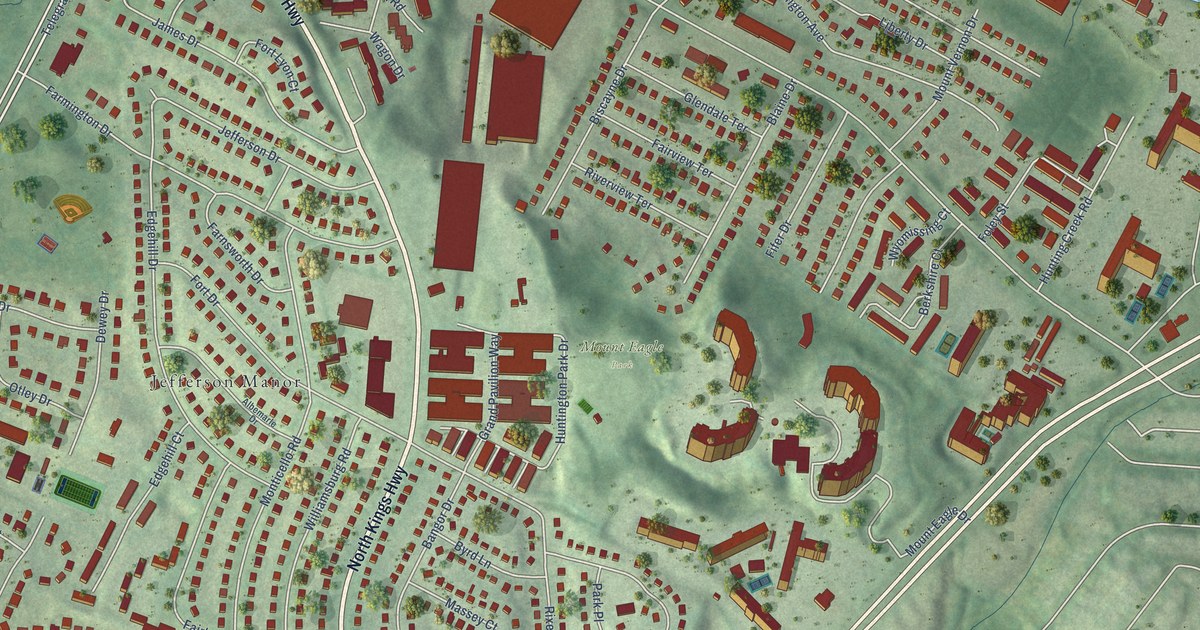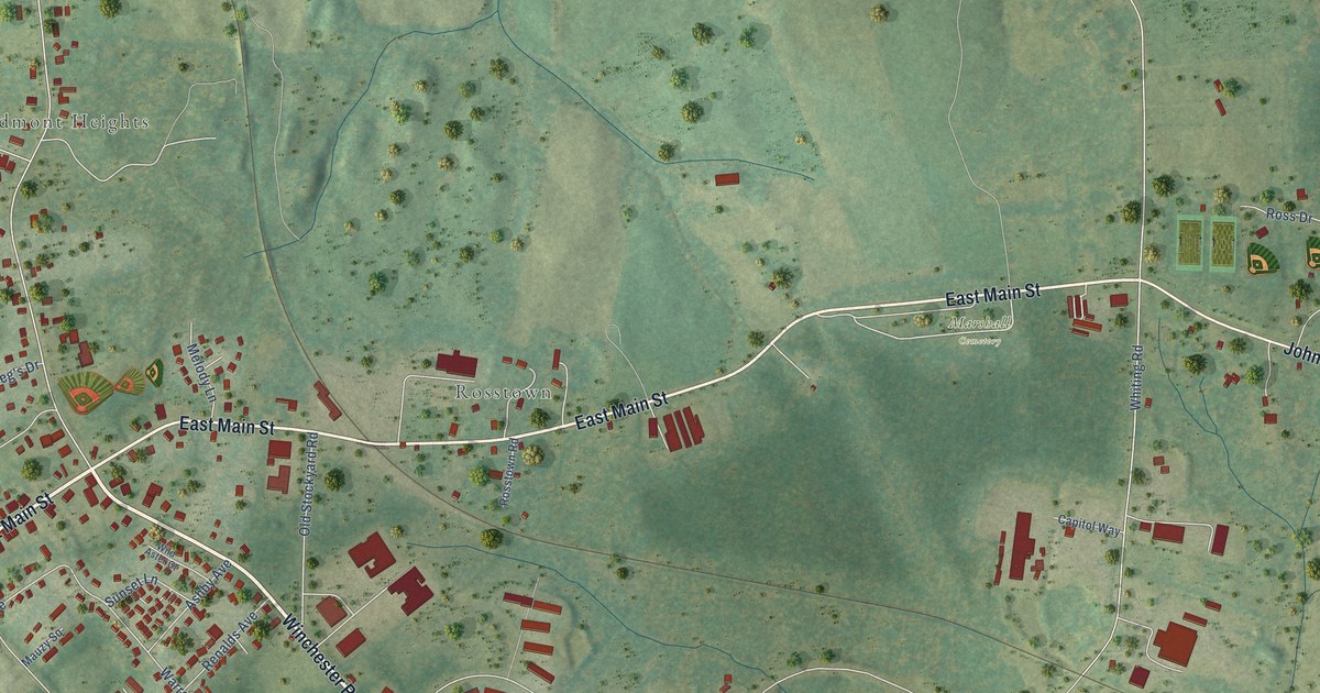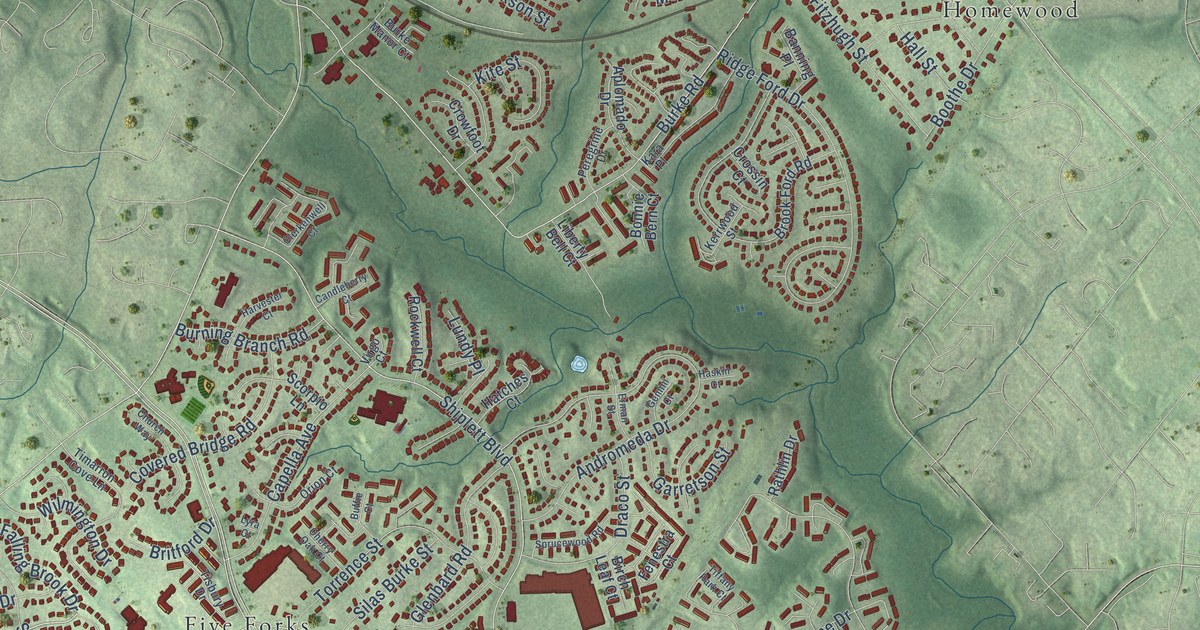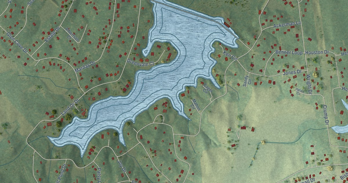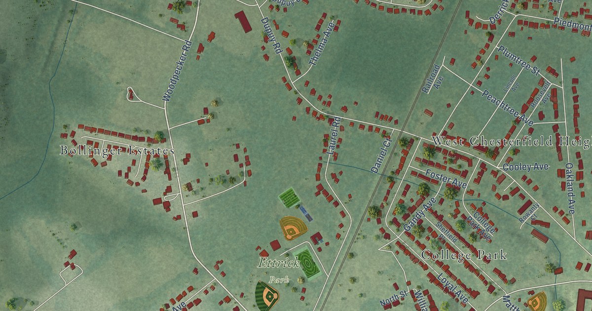
This beautifully detailed map of Ettrick, Virginia was created in 2026 using aerial imagery combined with modern topographical, census, street and landmark data. It’s a one-of-a-kind view of Ettrick that combines accurate data with a vintage aesthetic. The map shows every building in its true location, many of the roads carry their names, and the shaded topographic relief shows the shape of the land.
Explore an aerial view of Ettrick, Virginia
On the map you’ll find Ettrick Park, Bollinger Estates, Braebrook Village, College Park, River Road Estates, and West Chesterfield Heights, along with River Road Terrace, Chesterfield Avenue, River Road, Woodpecker Road, East River Road, Matthews Jefferson Drive, and more. If you look closely you can even find your house accurately drawn in its correct location. Zoom in on the preview to look for yours.
Did you know this piece of Ettrick, Virginia history?
From the Historical Marker Database: "Even though mills were thriving along the riverbank, it was not until the 1830s that the village of Ettrick took shape."
Take a closer look at the Ettrick map
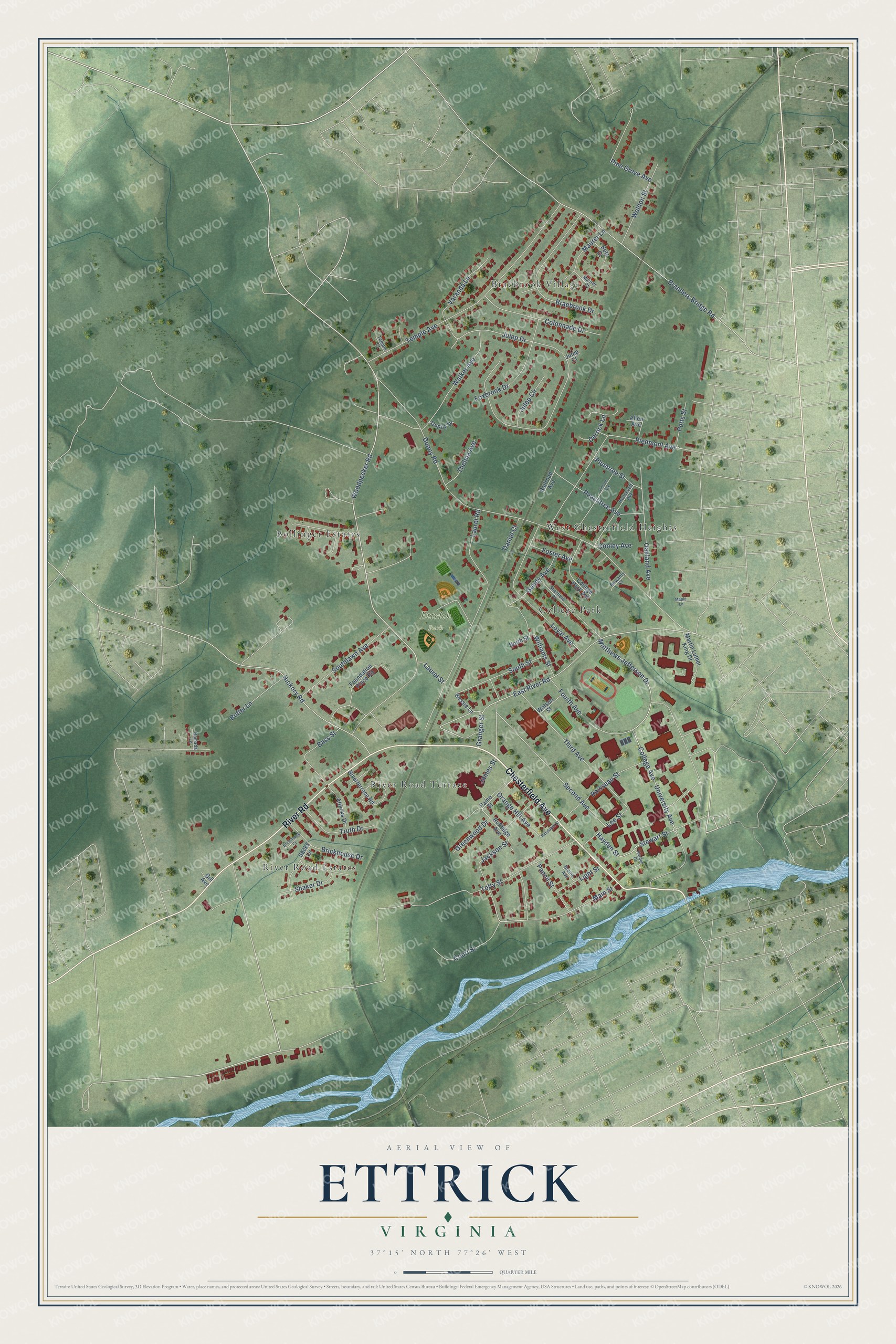
Street and place names on the Ettrick, Virginia map
These names are printed on the map of Ettrick, Virginia.
Places: Ettrick Park, Bollinger Estates, Braebrook Village, College Park, River Road Estates, River Road Terrace and West Chesterfield Heights.
Streets and roads: Chesterfield Avenue, River Road, Woodpecker Road, East River Road, Matthews Jefferson Drive, University Avenue, Main Street, Dupuy Road, Julep Drive, College Avenue, Totty Street, Temple Avenue.
More street names, A to Z
Allen Avenue, Attucks Drive, Bass Street, Bessie Lane, Betz Court, Boisseau Street, Braebrook Drive, Branders Bridge Road, Bremo Avenue, Brickhouse Court, Brickhouse Drive, Butler Lane, College Park Avenue, Colonnade Drive, Cooley Avenue, Court Street, Daniel Court, Derrick Lane, Dupuy Drive, Foster Avenue, Foundation Place Road, Fourth Avenue, Foxbrook Drive, Gandy Avenue, Gill Avenue, Granger Street, Greenwood Drive, Hayden Drive, Hayden Street, Hickory Road, Jackson Street, James Street, Julep Circle, Julep Court, Laurel Road, Laurel Street, Lee Street, Light Street, Lincoln Avenue, Loyal Avenue, Maple Lane, Martin Luther King Drive, Maurer Court, Maurer Lane, North Street, Oakland Avenue, Orange Hill Avenue, Paine Street, Pannil Street, Peachtree Avenue, Piedmont Avenue, Pine Grove Avenue, Plumtree Street, Potts Street, Railroad Avenue, Ramada Lane, Randolph Street, Riverterrace Road, Roosevelt Avenue, Rowanty Court, Rutledge Avenue, Sacks Lane, Second Avenue, Shaker Drive, Sheffield Place, Southlawn Avenue, South Street, Stewart Street, Temple Court, Thelma Avenue, Third Avenue, Truth Drive, Varanda Lane, Walker Avenue, Watson Street, Weldon Street, Williams Street.
See the Ettrick, Virginia map on a wall
The Ettrick map as an 18 x 24 inch print in a black frame.

This beautifully detailed map of Ettrick makes an attractive addition to your office, library, or den, and it can even be used to teach children the geography and history of the area. It also makes a great gift for anyone with Ettrick roots. When you’re done exploring, click here to get your copy of the Ettrick map.