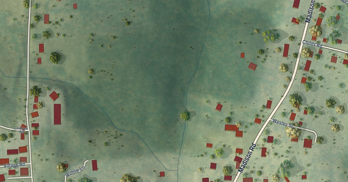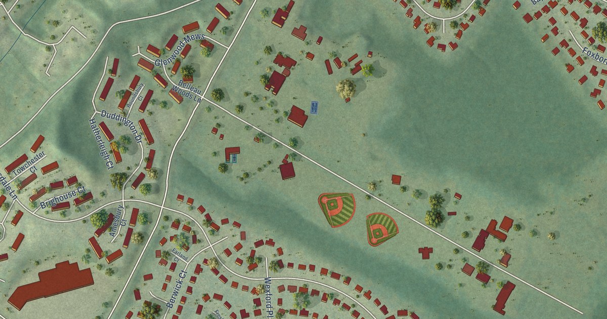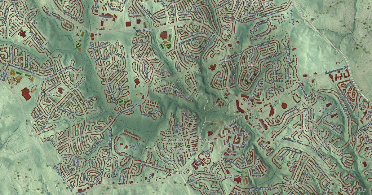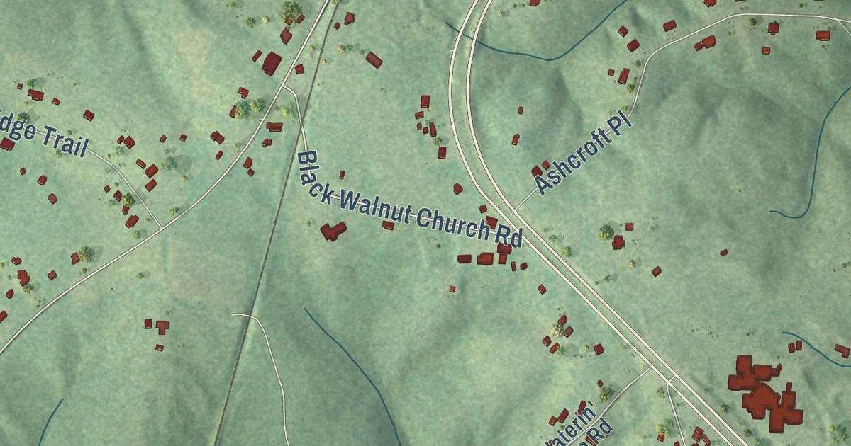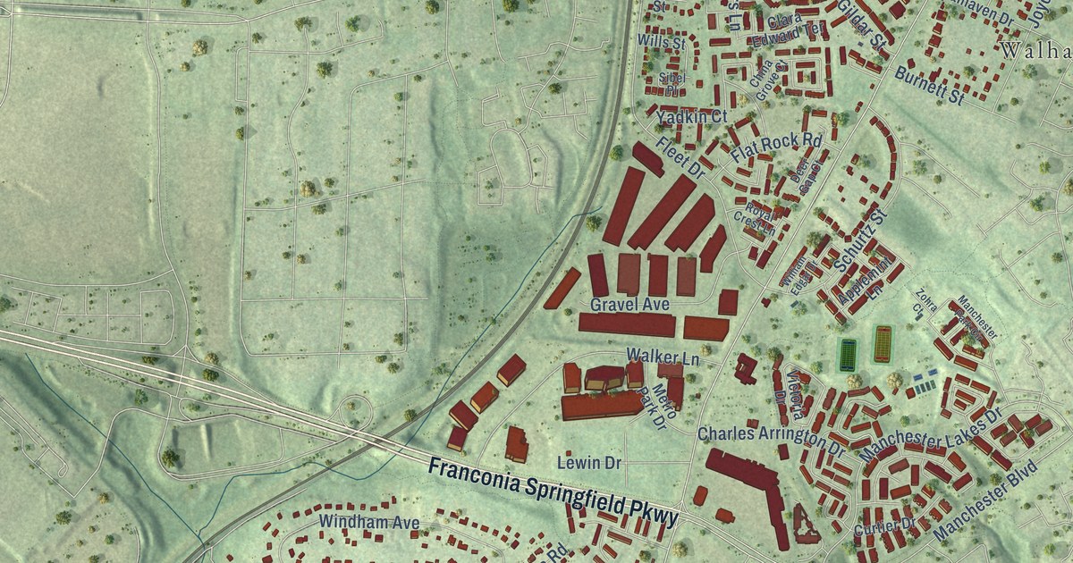
This beautifully detailed map of Franconia, Virginia was created in 2026 using aerial imagery combined with modern topographical, census, street and landmark data. It’s a one-of-a-kind view of Franconia that combines accurate data with a vintage aesthetic. The map shows every building in its true location, many of the roads carry their names, and the shaded topographic relief shows the shape of the land.
Explore an aerial view of Franconia, Virginia
On the map you’ll find Kathmoor, Maple Grove Estates, Mount Hebron Park, Walhaven, and Windsor Estates, along with Franconia Springfield Parkway, Manchester Boulevard, Manchester Lakes Drive, Birchleigh Way, Windridge Drive, Morning View Lane, Beulah Street, and more. If you look closely you can even find your house accurately drawn in its correct location. Zoom in on the preview to look for yours.
Did you know this piece of Franconia, Virginia history?
From the Historical Marker Database: "Initially situated south of Franconia Road near the present day Fleet Drive, the station was relocated after a fire in 1903 to the north side of Franconia Road."
Take a closer look at the Franconia map
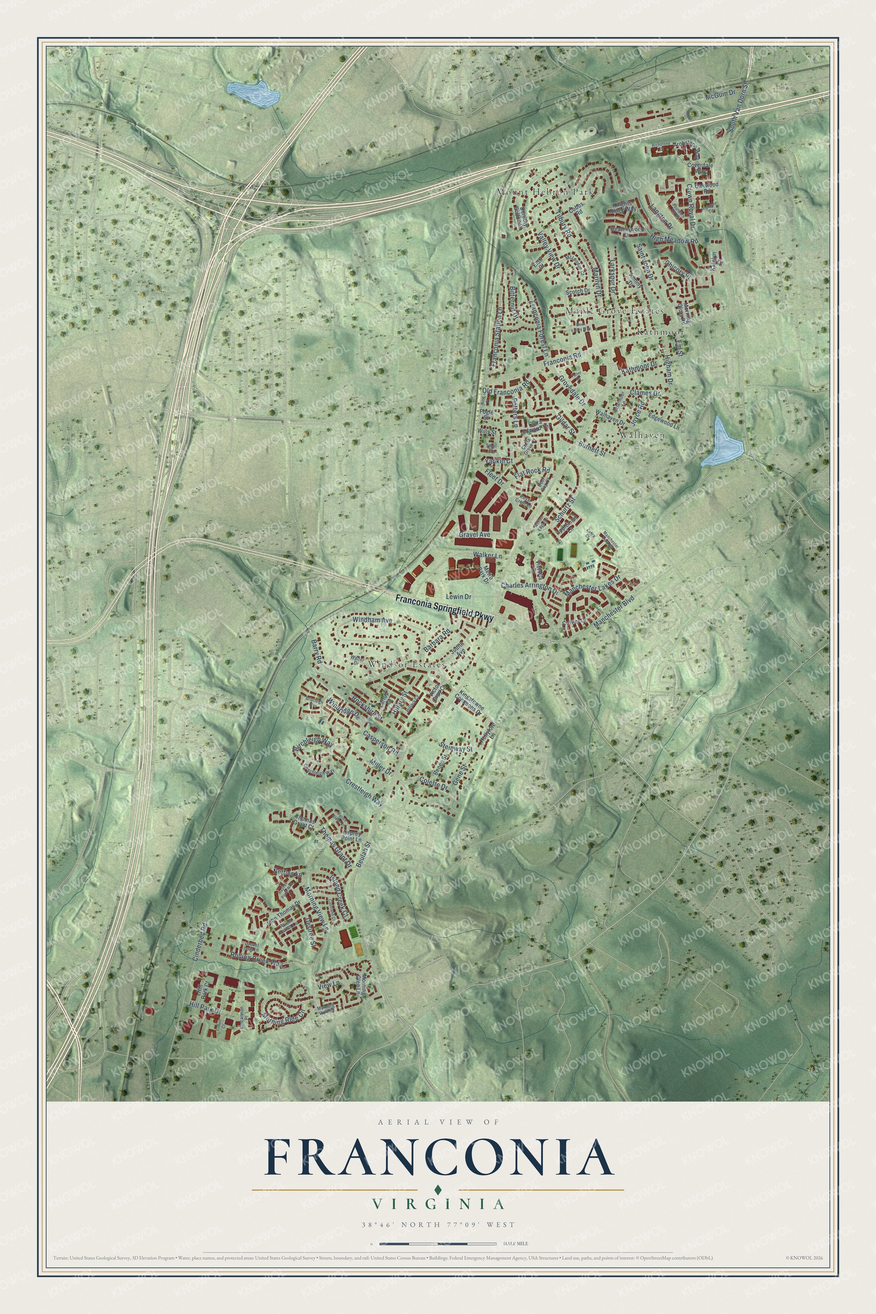
Street and place names on the Franconia, Virginia map
These names are printed on the map of Franconia, Virginia.
Places: Kathmoor, Maple Grove Estates, Mount Hebron Park, Walhaven and Windsor Estates.
Streets and roads: Franconia Springfield Parkway, Manchester Boulevard, Manchester Lakes Drive, Birchleigh Way, Windridge Drive, Morning View Lane, Beulah Street, Valley View Drive, Franconia Road, South Van Dorn Street, Windham Avenue, Fleet Drive.
More street names, A to Z
Applemint Lane, Archstone Court, Archstone Way, Barbara Road, Barry Road, Bitternut Drive, Briarleigh Way, Briarmoor Lane, Burnett Street, Cashland Court, Casperson Road, Charles Arrington Drive, Chicory Place, China Grove Court, Cinderbed Road, Clames Drive, Clara Edward Terrace, Coachleigh Way, Cobbs Road, Colette Drive, Conell Court, Coverdale Way, Crestleigh Way, Crown Royal Drive, Curtier Drive, Deer Gap Court, Desiree Street, Dorothy Bolton Court, Edgewood Lane, Elati Court, Em Street, Flat Rock Road, Fogle Street, Founders Hill Drive, Franconia Forest Lane, Franconia Station Lane, Fuller Court, Gene Street, Gildar Street, Gravel Avenue, Grovedale Drive, Haynes Point Way, Heatherwood Drive, Higham Drive, Highdale Circle, High Meadow Road, Hillary Court, Hillary Street, Hill Park Court, Hill Park Drive, Hollyford Lane, Island Creek Court, John Thomas Drive, Joyce Road, Judith Avenue, Katelyn Court, Kathmoor Drive, Kincannon Place, Kingstowne Commons Drive, Knights Ridge Way, Langton Drive, Larkspur Drive, Larrup Court, Lewin Drive, Locust Leaf Lane, Manchester Park Circle, Marilyn Drive, McGuin Drive, McLendon Court, Metro Park Drive, Miller Drive, Morning Glen Lane, Morning Glory Road, Morning Ride Circle, Morning View Court, Netties Lane, New Valley Way, Nice Place, Oakwood Road, Old Franconia Road, Osprey Point Lane, Parish Glebe Lane, Patent Parish Lane, Potters Lane, Renee Street, Rockshire Street, Rolling Creek Way, Royal Crest Lane, Saint John Drive, Schurtz Street, Scotch Drive, Sibel Place, Steinway Street, Tammy Drive, Thomas Grant Court, Thomas Grant Drive, Tilbury Road, Victor Gray Court, Victoria Drive, View Lane, Walhaven Drive, Walker Lane, Walter Drive, William Edgar Drive, Wills Street, Yadkin Court, Zohra Court.
See the Franconia, Virginia map on a wall
The Franconia map as an 18 x 24 inch print in a black frame.

This beautifully detailed map of Franconia makes an attractive addition to your office, library, or den, and it can even be used to teach children the geography and history of the area. It also makes a great gift for anyone with Franconia roots. When you’re done exploring, click here to get your copy of the Franconia map.