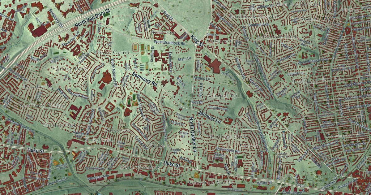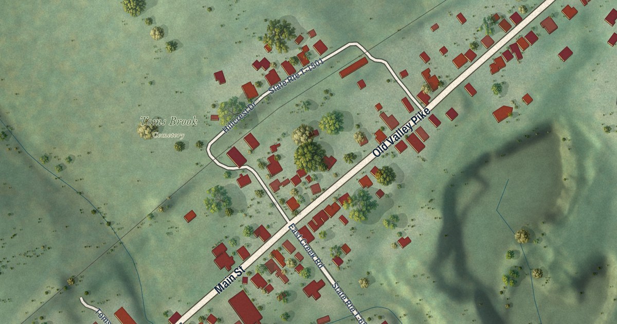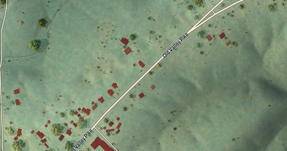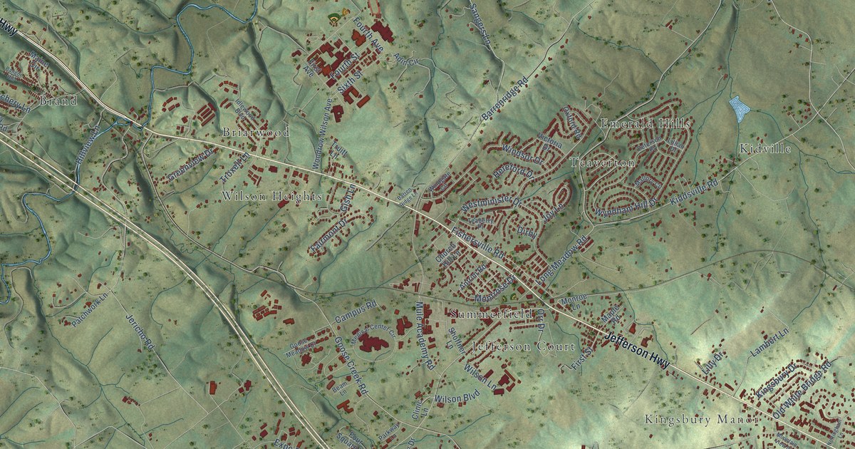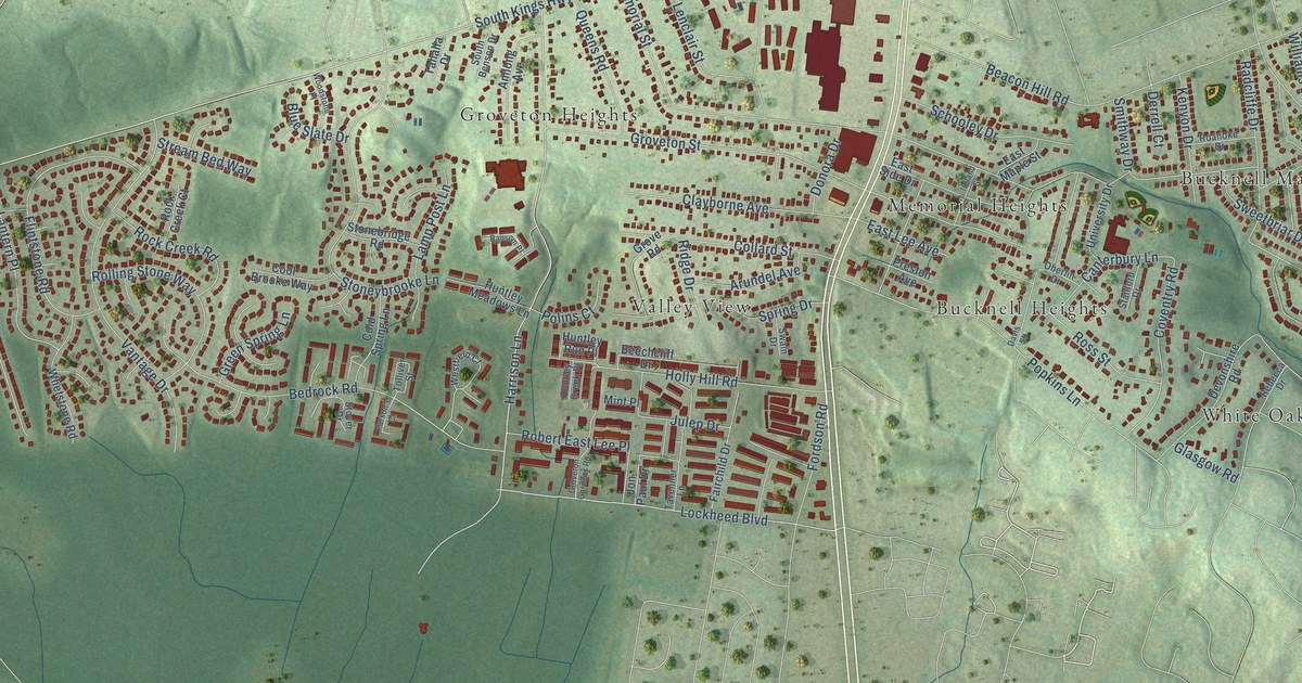
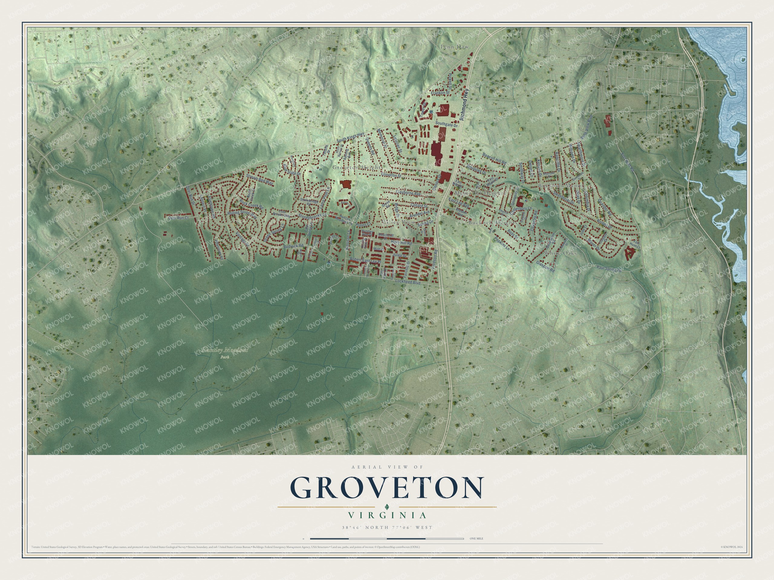
This beautifully detailed map of Groveton, Virginia was created in 2026 using aerial imagery combined with modern topographical, census, street and landmark data. It’s a one-of-a-kind view of Groveton that combines accurate data with a vintage aesthetic. The map shows every building in its true location, many of the roads carry their names, and the shaded topographic relief shows the shape of the land.
Explore an aerial view of Groveton, Virginia
On the map you’ll find Huntley Meadows Park, Bucknell Heights, Bucknell Manor, Groveton Heights, Memorial Heights, Penn Daw, Valley View, and White Oaks, along with Richmond Highway, Lockheed Boulevard, South Kings Highway, Fort Hunt Road, and more. If you look closely you can even find your house accurately drawn in its correct location. Zoom in on the preview to look for yours.
Did you know this piece of Groveton, Virginia history?
From the Historical Marker Database: "The first congregation met at the original Groveton Schoolhouse on Popkins Lane and Richmond Highway in 1880, providing the farming community its first place of worship between Alexandria and Woodlawn Plantation."
Take a closer look at the Groveton map
Street and place names on the Groveton, Virginia map
These names are printed on the map of Groveton, Virginia.
Places: Huntley Meadows Park, Bucknell Heights, Bucknell Manor, Groveton Heights, Memorial Heights, Penn Daw, Valley View and White Oaks.
Streets and roads: Richmond Highway, Lockheed Boulevard, South Kings Highway, Fort Hunt Road, Memorial Street, Groveton Street, Harrison Lane, Quander Road, Bedrock Road, Popkins Lane, Vantage Drive, Beacon Hill Road.
More street names, A to Z
Amlong Avenue, Arundel Avenue, Beechcliff Drive, Belle View Boulevard, Blue Slate Drive, Canterbury Lane, Clayborne Avenue, Cold Spring Lane, Colgate Drive, Collard Street, Columbia Drive, Cool Brooke Way, Coventry Road, Dartmouth Drive, Davis Street, Deer Run Court, Deer Run Drive, Derrell Court, Devonshire Road, Donora Drive, Duke Drive, East Lee Avenue, East Maple Street, East Side Drive, Fairchild Drive, Flintstone Road, Fordson Road, Fort Hunt Court, Franklin Street, Glasgow Road, Green Spring Lane, Grove Road, Groveton Gardens Road, Holly Hill Road, Huntley Creek Place, Huntley Meadows Lane, Huntley Run Place, Ireland Street, Jon Paul Drive, Jube Court, Julep Drive, Kenyon Drive, Lamp Post Lane, Lantern Place, Lenclair Street, Mint Place, Oberlin Drive, Parson's Court, Paul Spring Road, Pickett Street, Polins Court, Preston Avenue, Queens Road, Radcliffe Drive, Ransom Place, Rebecca Drive, Ridge Drive, Roanoke Drive, Robert East Lee Place, Rock Creek Court, Rock Creek Road, Rolling Stone Way, Rollins Drive, Ross Street, Schooley Drive, Shiver Drive, Smithway Drive, South Benson Drive, Southgate Drive, Spring Drive, Stanford Drive, Stonebridge Road, Stoneybrooke Lane, Stover Drive, Stream Bed Way, Swain Drive, Swarthmore Drive, Sweetbriar Drive, Tahalla Drive, Tavenner Lane, Tolliver Street, Tower Drive, University Drive, Westfield Court, Whetstone Road, Williams Drive, Woodstone Place.
See the Groveton, Virginia map on a wall
The Groveton map as an 18 x 24 inch print in a black frame.

This beautifully detailed map of Groveton makes an attractive addition to your office, library, or den, and it can even be used to teach children the geography and history of the area. It also makes a great gift for anyone with Groveton roots. When you’re done exploring, click here to get your copy of the Groveton map.