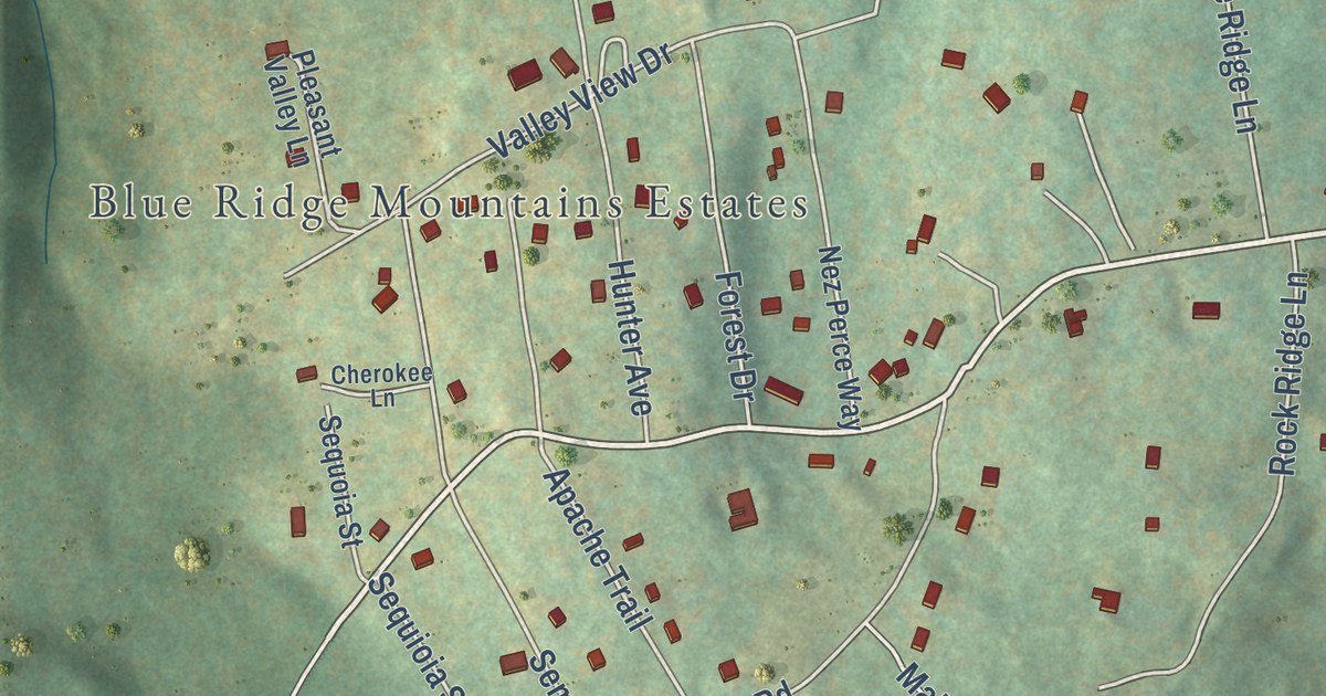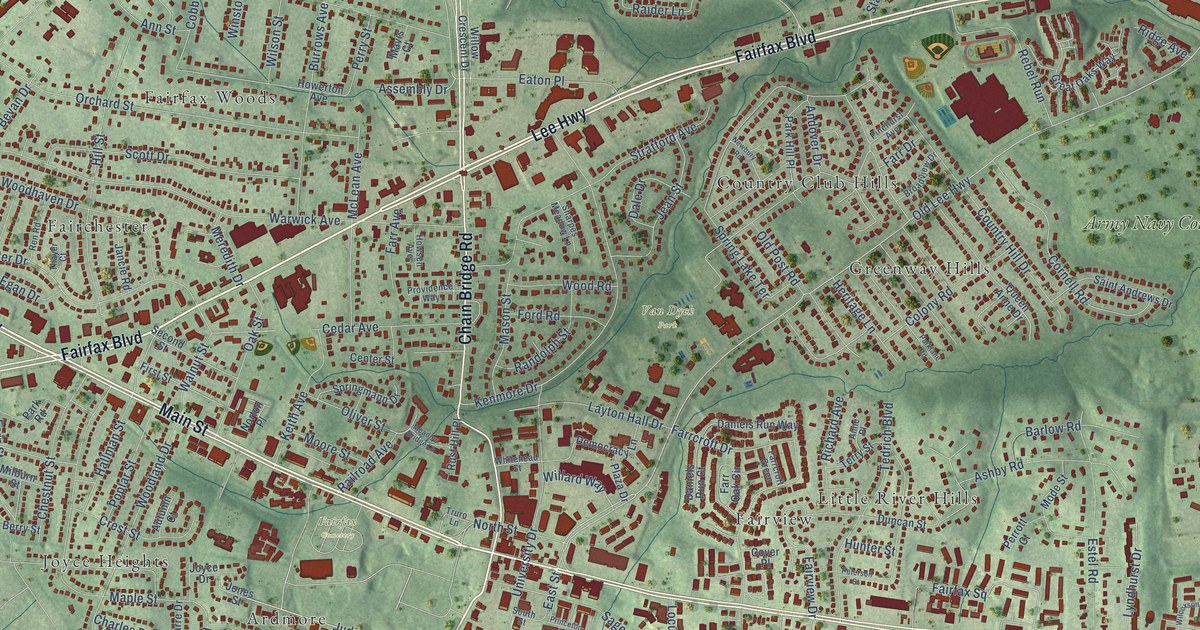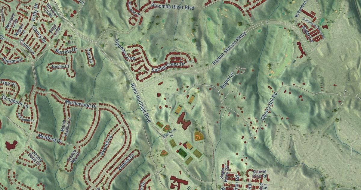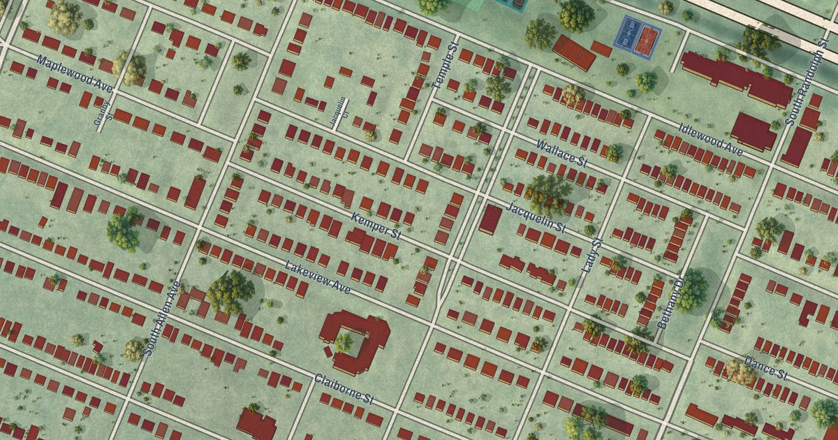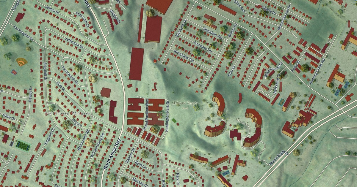
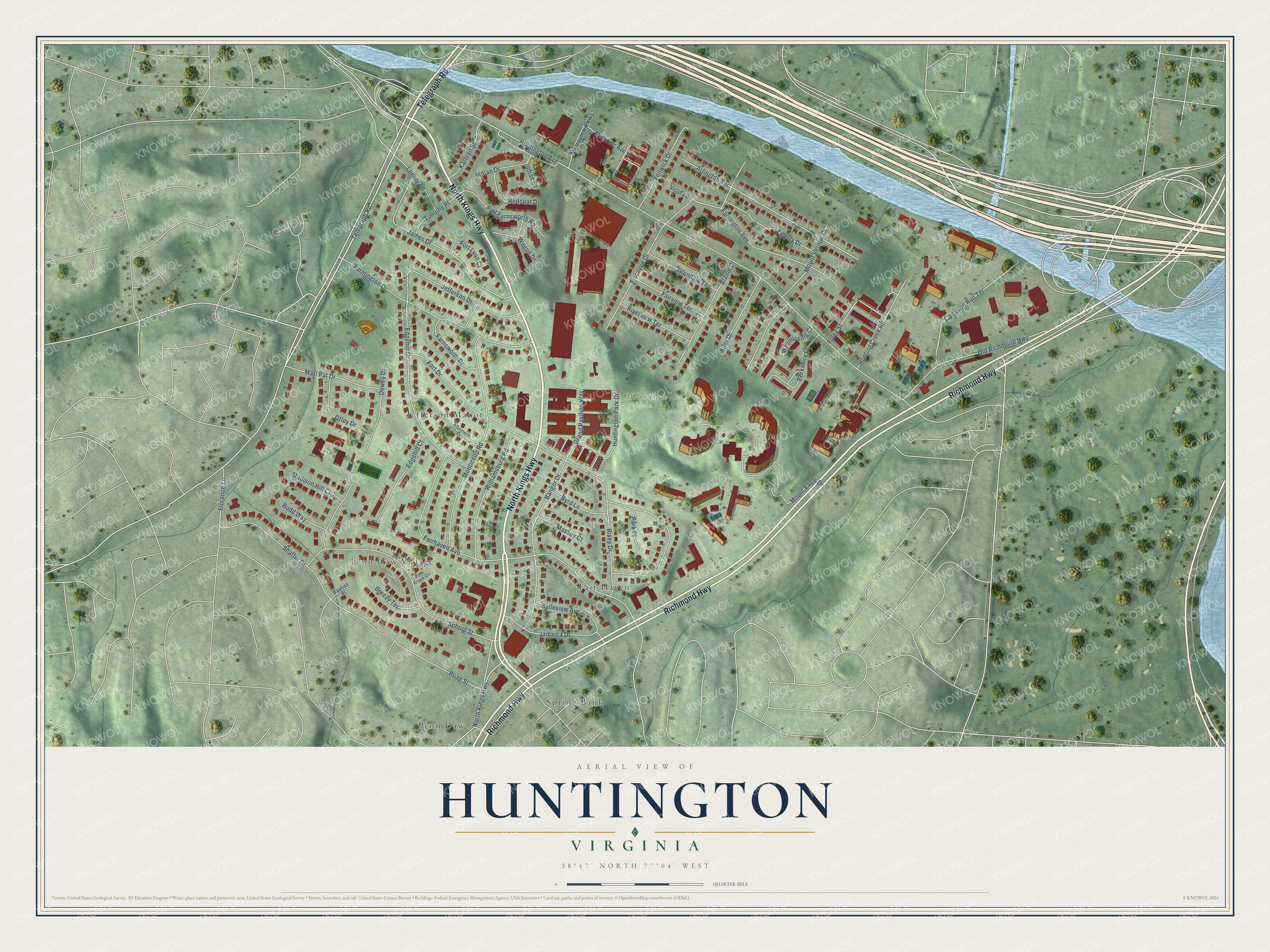
This beautifully detailed map of Huntington, Virginia was created in 2026 using aerial imagery combined with modern topographical, census, street and landmark data. It’s a one-of-a-kind view of Huntington that combines accurate data with a vintage aesthetic. The map shows every building in its true location, many of the roads carry their names, and the shaded topographic relief shows the shape of the land.
Explore an aerial view of Huntington, Virginia
On the map you’ll find Mount Eagle Park, Fair Haven, Jefferson Manor, Penn Daw, Penn Daw Village, and Spring Bank, along with North Kings Highway, Richmond Highway, Telegraph Road, Huntington Park Drive, School Street, Poag Street, and more. If you look closely you can even find your house accurately drawn in its correct location. Zoom in on the preview to look for yours.
Did you know this piece of Huntington, Virginia history?
From Vcris.dhr.virginia.gov: "On 10 June 1863, President Lincoln personally inspected the damage caused by the spectacular explosion of the fort's powder magazine."
Take a closer look at the Huntington map
Street and place names on the Huntington, Virginia map
These names are printed on the map of Huntington, Virginia.
Places: Mount Eagle Park, Fair Haven, Jefferson Manor, Penn Daw, Penn Daw Village and Spring Bank.
Streets and roads: North Kings Highway, Richmond Highway, Telegraph Road, Huntington Park Drive, School Street, Poag Street, Foley Street, Huntington Avenue, Fort Drive, Fairhaven Avenue, Monticello Road, Edgehill Drive.
More street names, A to Z
Albemarle Drive, Arlington Terrace, Bangor Drive, Bayliss Place, Belleview Avenue, Berkshire Court, Biscayne Drive, Blaine Drive, Breezy Terrace, Budd Way, Byrd Lane, Cameron Run Terrace, Dewey Drive, Edgehill Court, Fairview Terrace, Farmington Drive, Farnsworth Drive, Farrington Avenue, Fenwick Drive, Fifer Drive, Florence Lane, Fort Farnsworth Road, Fort Lyon Court, Glendale Terrace, Grand Pavilion Way, Hunting Creek Road, Huntington Station Court, Indian Court, Indian Drive, Jamaica Drive, James Drive, Jefferson Drive, Kathryn Street, Lenore Lane, Liberty Drive, Madison Hill Court, Marl Pat Drive, Massey Court, Metroview Parkway, Midtown Avenue, Mount Eagle Drive, Mount Vernon Drive, Old Richmond Highway, Otley Drive, Park Place, Pine Grove Circle, Redcoat Drive, Riverview Terrace, Rixey Drive, Shaffer Drive, Timothy Place, Victory Drive, Wagon Drive, Williamsburg Road, Wyomissing Court.
See the Huntington, Virginia map on a wall
The Huntington map as an 18 x 24 inch print in a black frame.

This beautifully detailed map of Huntington makes an attractive addition to your office, library, or den, and it can even be used to teach children the geography and history of the area. It also makes a great gift for anyone who grew up in Huntington or moved away. When you’re done exploring, click here to get your copy of the Huntington map.