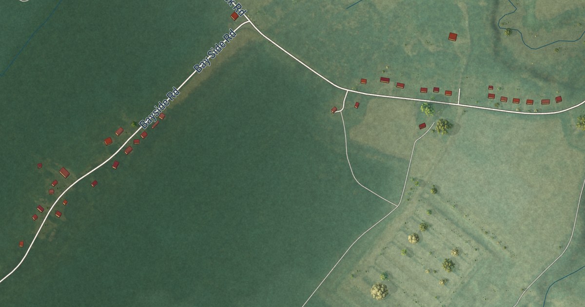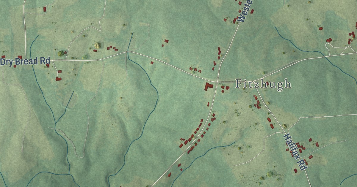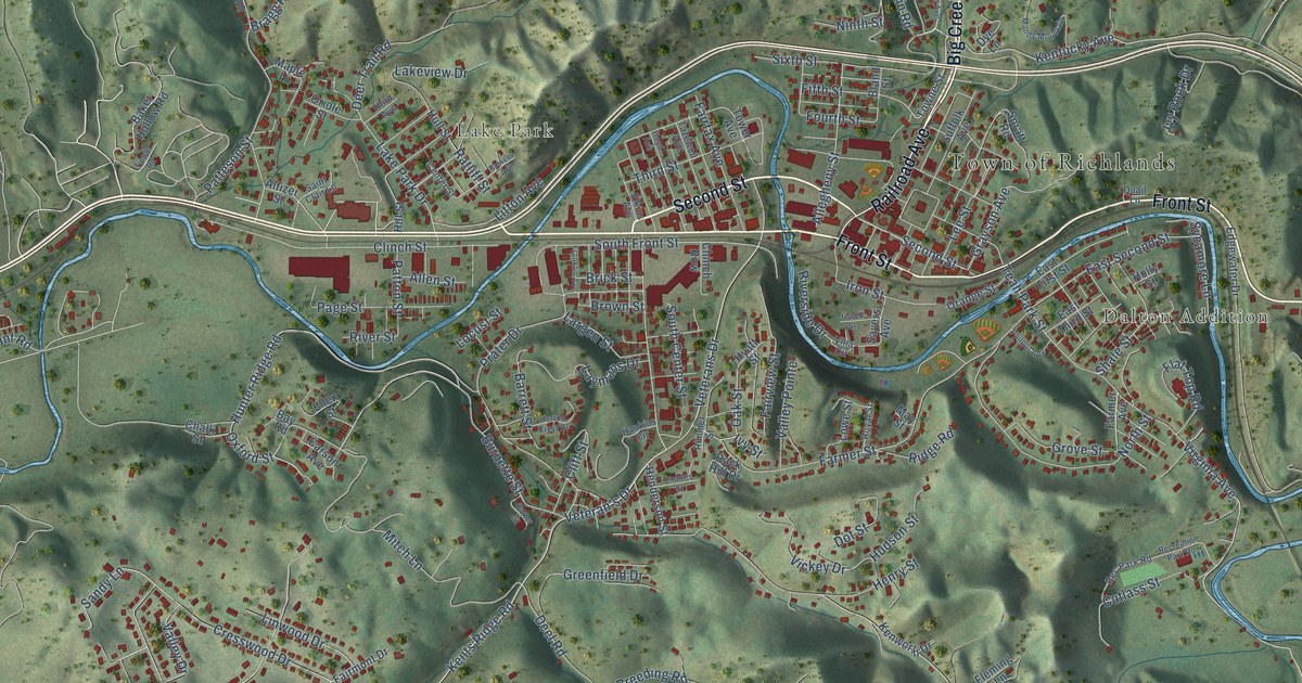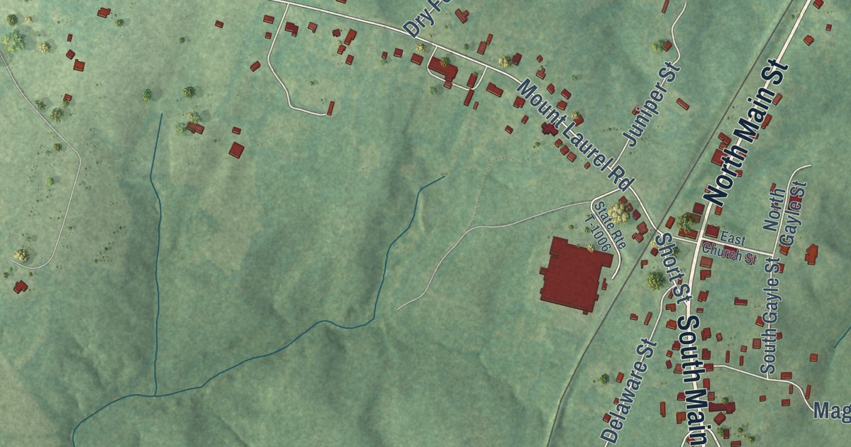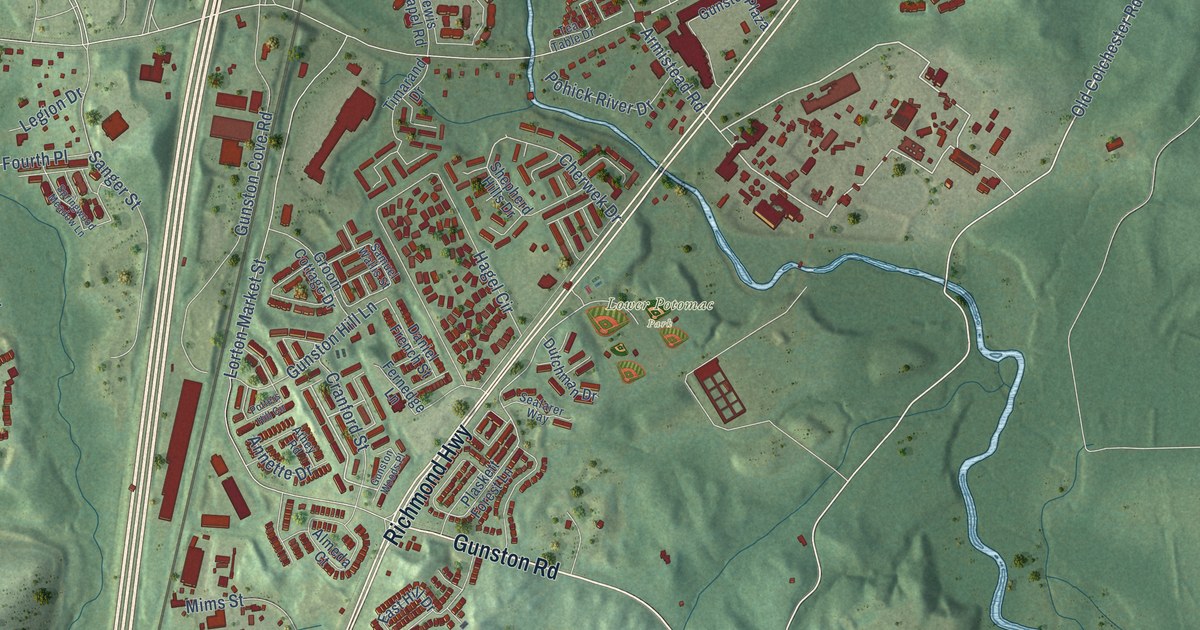
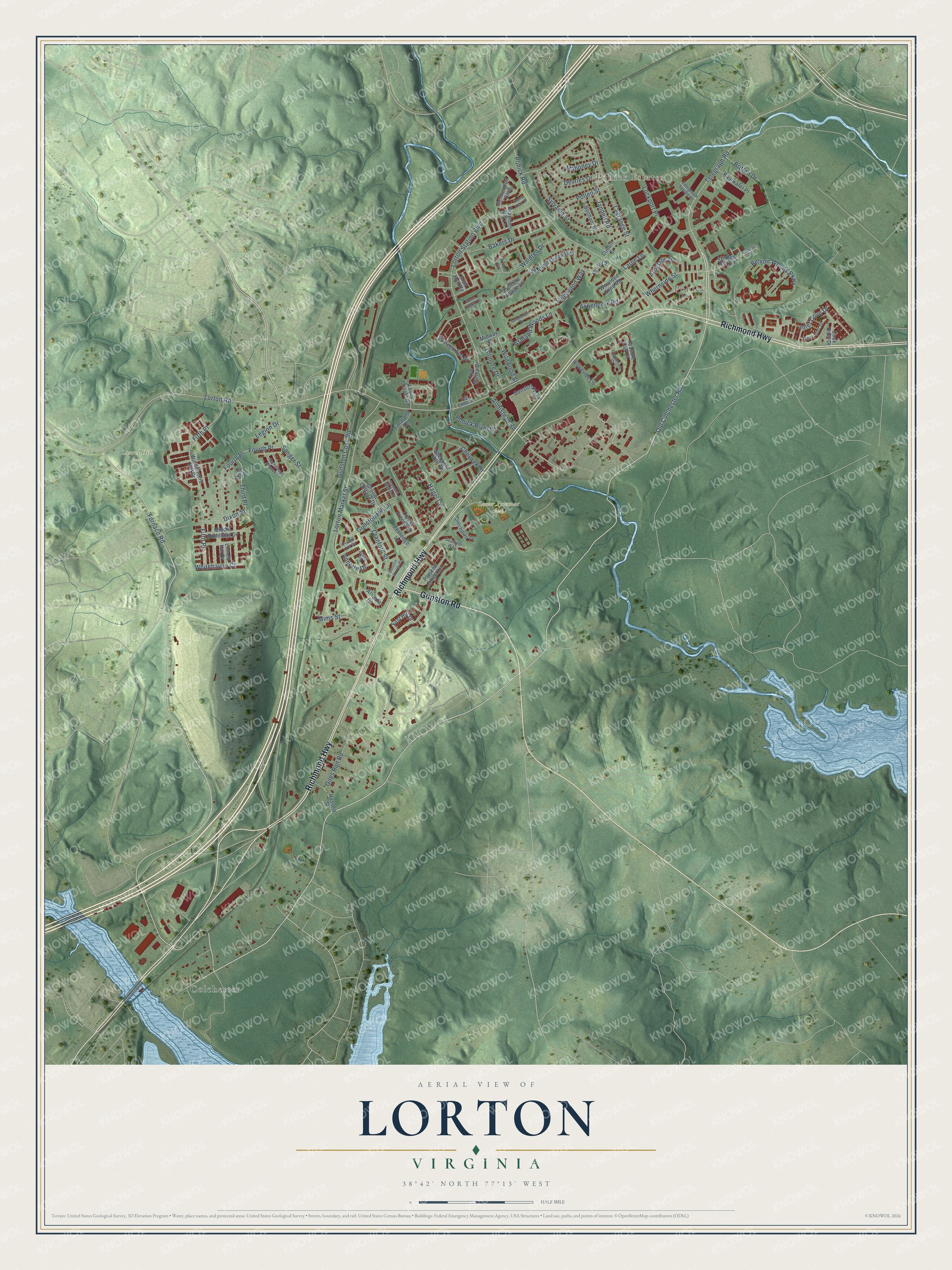
This beautifully detailed map of Lorton, Virginia was created in 2026 using aerial imagery combined with modern topographical, census, street and landmark data. It’s a one-of-a-kind view of Lorton that combines accurate data with a vintage aesthetic. The map shows every building in its true location, many of the roads carry their names, and the shaded topographic relief shows the shape of the land.
Explore an aerial view of Lorton, Virginia
On the map you’ll find Colchester, Pohick Estates, Pohick, Laurel Hill Park, and Lower Potomac Park, along with Richmond Highway, Gunston Road, Old Colchester Road, Lorton Road, Telegraph Road, Armistead Road, Lorton Station Boulevard, and more. If you look closely you can even find your house accurately drawn in its correct location. Zoom in on the preview to look for yours.
Did you know this piece of Lorton, Virginia history?
From Vcris.dhr.virginia.gov: "The house was built in 1755-1758 by the fourth George Mason, Revolutionary leader and author of the Virginia Declaration of Rights and the first Constitution of Virginia."
Take a closer look at the Lorton map
Street and place names on the Lorton, Virginia map
These names are printed on the map of Lorton, Virginia.
Places: Colchester, Pohick Estates, Pohick, Laurel Hill Park and Lower Potomac Park.
Streets and roads: Richmond Highway, Gunston Road, Old Colchester Road, Lorton Road, Telegraph Road, Armistead Road, Lorton Station Boulevard, Furnace Road, Fifth Place, Dixon Street, Pohick Road, Gunston Cove Road.
More street names, A to Z
Almeda Court, Annette Drive, Arch Hall Road, Ardglass Drive, Ashland Woods Lane, Aspenpark Road, Athey Road, Bakers Drive, Belvoir Woods Parkway, Benham Street, Bennington Boulevard, Britten Drive, Cherwek Drive, Clemetine Court, Cook Inlet Drive, Cranford Street, Cullum Street, Daniel French Street, Devries Drive, Dutchman Drive, East Hill Drive, Endicott Place, Fallswood Way, Fernedge Lane, Fourth Place, Giles Run Road, Gilmore Drive, Grace Church Lane, Graysons Mill Lane, Groom Cottage Drive, Gunston Hill Lane, Gunston Plaza, Gunston Woods Place, Hagel Circle, Hassett Street, Henry Knox Drive, Inlet Cove Drive, Jandell Road, Lagrange Street, Larne Lane, Lee Masey Drive, Legion Drive, Lewis Chapel Road, Linnett Hill Drive, Lockport Place, Lorton Market Street, Lyndam Hill Circle, Mahoney Drive, Marie Court, Middle Ruddings Drive, Midway Place, Mims Street, Plaskett Forest Lane, Pohick River Drive, Pollen Street, Potters Hill Circle, Rainwater Place, Samuel Wallis Street, Sanger Street, Seafarer Way, Sheffield Green Way, Sheffield Village Lane, Shepherd Hills Drive, Springwood Meadow Lane, Stonegarden Drive, Stone Inlet Drive, Summerhill Court, Sylvania Street, Tea Table Drive, Telegraph Square Drive, Third Place, Timarand Drive, Treasure Oak Court, Waldren Drive, Whernside Street, Whitehaven Court, Wildwood Street, Windermere Hill Drive, Wolford Way, Woodside Lane, Wounded Knee Road.
See the Lorton, Virginia map on a wall
The Lorton map as an 18 x 24 inch print in a black frame.

This beautifully detailed map of Lorton makes an attractive addition to your office, library, or den, and it can even be used to teach children the geography and history of the area. It also makes a great gift for anyone who grew up in Lorton or moved away. When you’re done exploring, click here to get your copy of the Lorton map.