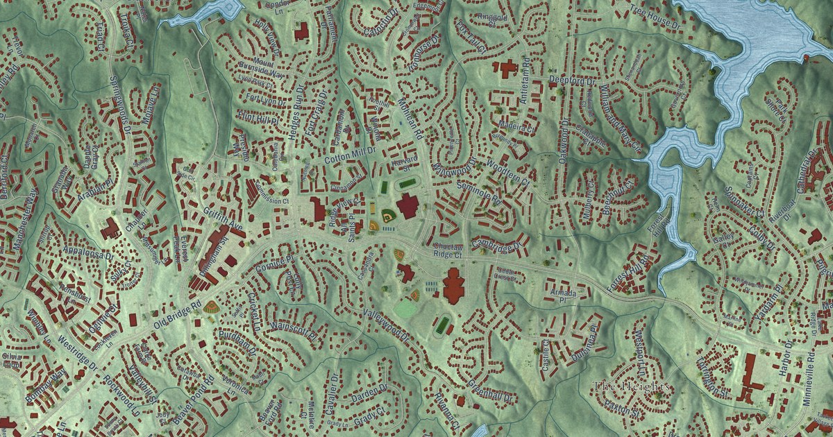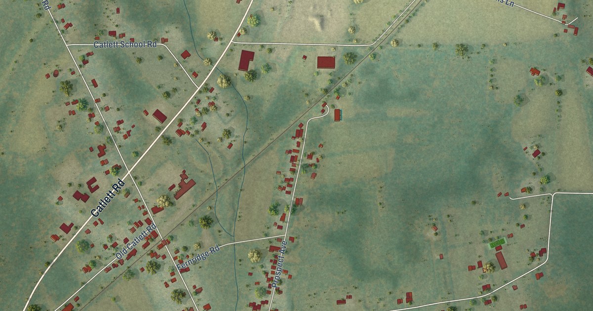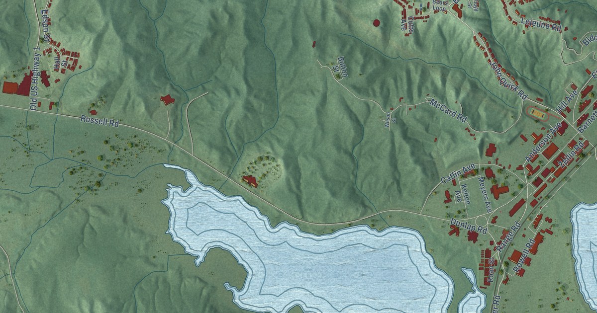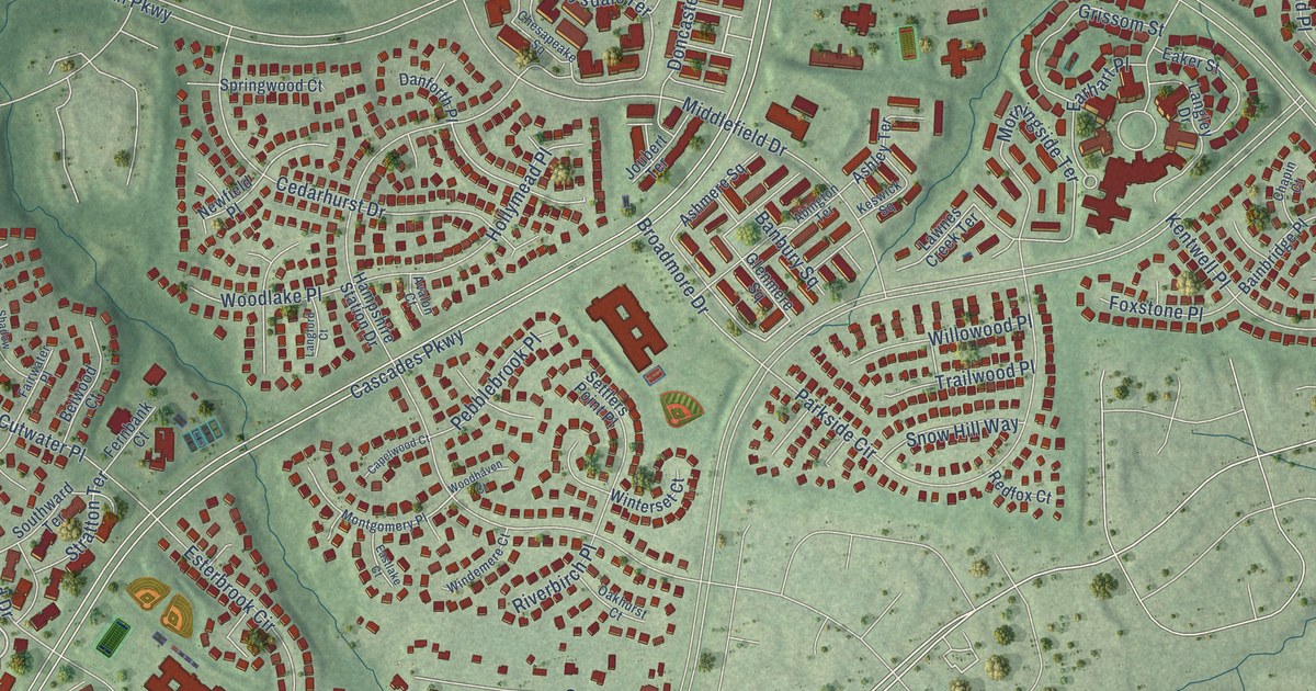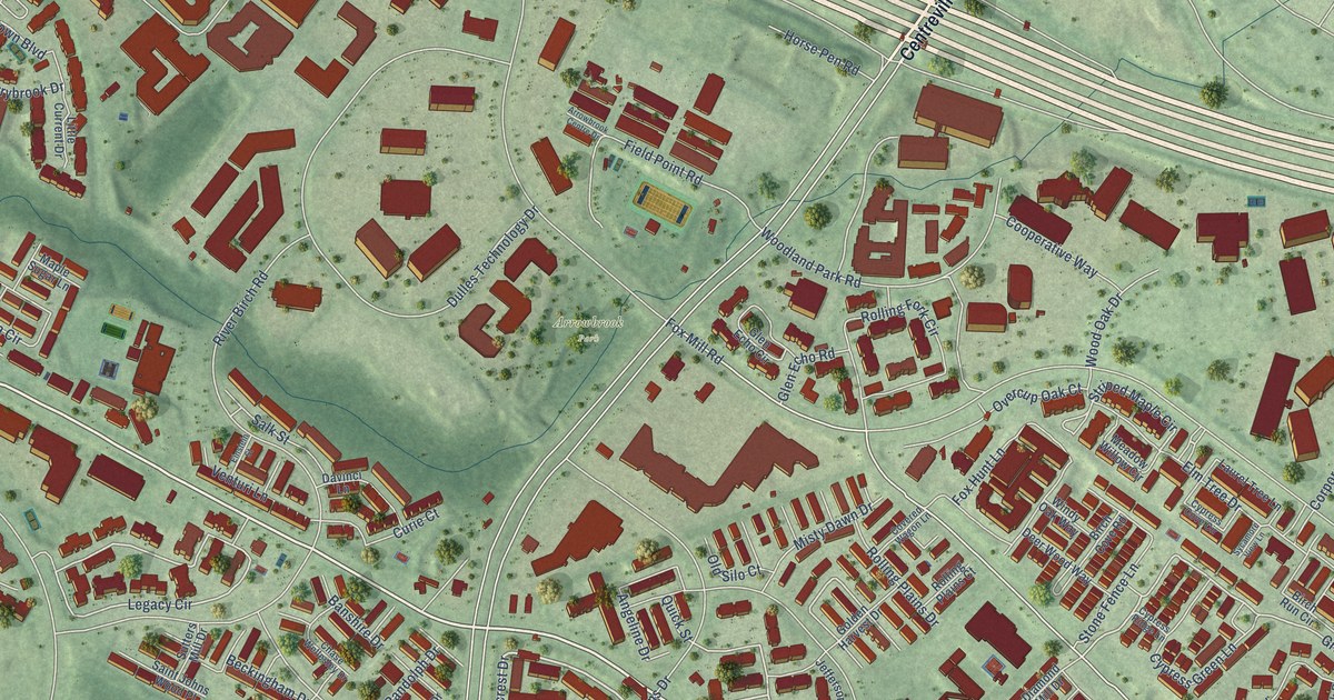
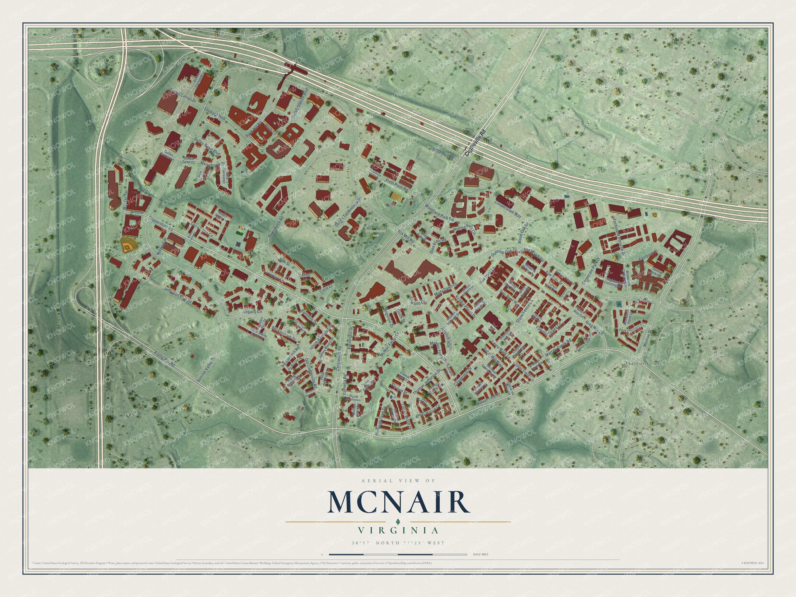
This beautifully detailed map of McNair, Virginia was created in 2026 using aerial imagery combined with modern topographical, census, street and landmark data. It’s a one-of-a-kind view of McNair that combines accurate data with a vintage aesthetic. The map shows every building in its true location, many of the roads carry their names, and the shaded topographic relief shows the shape of the land.
Explore an aerial view of McNair, Virginia
On the map you’ll find Arrowbrook Park and Hattontown, along with Centreville Road, Frying Pan Road, Coppermine Road, Farmcrest Drive, Logan Wood Drive, Masons Ferry Drive, Greg Roy Lane, Clover Field Circle, Striped Maple Circle, Fox Mill Road, and more. If you look closely you can even find your house accurately drawn in its correct location. Zoom in on the preview to look for yours.
Did you know this about McNair, Virginia?
From Vcris.dhr.virginia.gov: "Laura Ratcliffe, a young woman who lived nearby and spied for Mosby, concealed money and messages for him under the rock."
Take a closer look at the McNair map
Street and place names on the McNair, Virginia map
These names are printed on the map of McNair, Virginia.
Places: Arrowbrook Park and Hattontown.
Streets and roads: Centreville Road, Frying Pan Road, Coppermine Road, Farmcrest Drive, Logan Wood Drive, Masons Ferry Drive, Greg Roy Lane, Clover Field Circle, Striped Maple Circle, Fox Mill Road, Monroe Street, Legacy Circle.
More street names, A to Z
Acorn Hunt Place, Angeline Drive, Arrowbrook Centre Drive, Banshire Drive, Beckingham Drive, Big Boulder Road, Birch Cove Road, Birch Run Circle, Bronze Stone Place, Brook Overlook Court, Burrough Farm Drive, Cabin Creek Road, Centre Park Circle, Chase Wellesley Drive, Cleeve Hill Court, Cooperative Way, Cooper Cove Way, Copper Brook Way, Coppermill Drive, Cornelia Road, Corporate Park Drive, Covered Wagon Lane, Curie Court, Cypress Cove Circle, Cypress Green Lane, Cypress Ridge Lane, Davinci Lane, Deer Wood Way, Diamond Mill Drive, Dulles Corner Boulevard, Dulles Corner Drive, Dulles Corner Lane, Dulles Station Boulevard, Dulles Technology Drive, Dulles Town Boulevard, Dulles Town Court, Eastpark Drive, Einstein Street, Elm Tree Drive, Ferdinand Porsche Drive, Field Point Road, Flying Squirrel Drive, Founders Way, Fox Hunt Lane, Glen Echo Circle, Glen Echo Road, Golden Harvest Drive, Highland Crossing Drive, Horse Pen Road, Isham Randolph Drive, James Madison Circle, James Maury Drive, James Monroe Circle, Jefferson Park Drive, Jefferson Way, John Eppes Road, Kidwell Field Road, Laura Mark Lane, Laurel Tree Lane, Little Current Drive, Mansarde Avenue, Maple Sugar Lane, Marcey Creek Road, McNair Farms Drive, Meadow Willow Circle, Merrybrook Drive, Micheal Lawrence Place, Misty Dawn Drive, Network Place, Old Centerville Road, Old Silo Court, Overcup Oak Court, Park Crescent Circle, Pennymoor Court, Peter Jefferson Lane, Plotner Farm Road, Quick Street, River Birch Road, Robb Lane, Rock Hill Road, Rolling Fork Circle, Rolling Plains Court, Rolling Plains Drive, Saint Johns Wood Place, Salk Street, Sayward Boulevard, Simpkins Farm Drive, Squirrel Hill Road, Stanton Place, Stone Fence Lane, Sugar Mill Way, Sunrise Valley Drive, Sutters Mill Drive, Sycamore View Lane, Tarleton Corner Drive, Terra Cotta Circle, Thomas Jefferson Drive, Venturi Lane, Virginia Randolph Avenue, Wasser Terrace, William Short Circle, Windy Oak Way, Wood Crescent Circle, Woodland Crossing Drive, Woodland Park Road, Woodland Pond Lane, Wood Oak Drive, Zachary Taylor Circle.
See the McNair, Virginia map on a wall
The McNair map as an 18 x 24 inch print in a black frame.

This beautifully detailed map of McNair makes an attractive addition to your office, library, or den, and it can even be used to teach children the geography and history of the area. It also makes a great gift for someone who left McNair and still calls it home. When you’re done exploring, click here to get your copy of the McNair map.