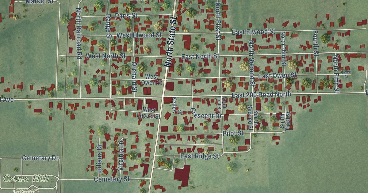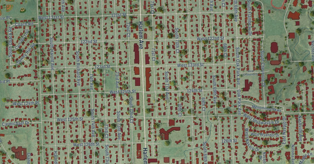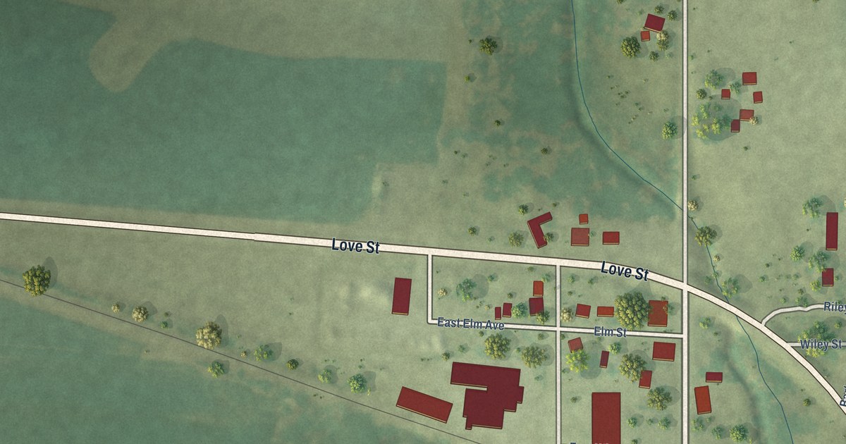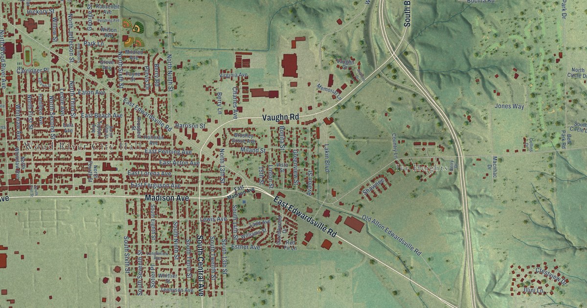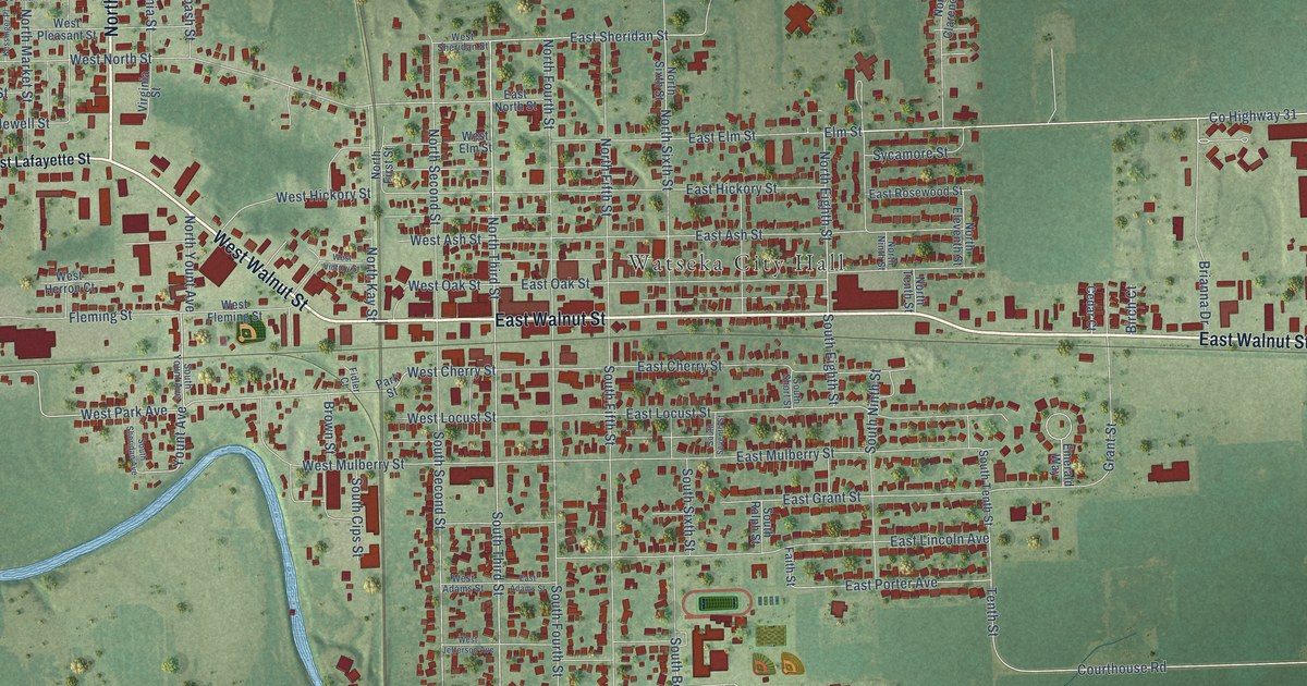
This beautifully detailed map of Watseka, Illinois was created in 2026 using aerial imagery combined with modern topographical, census, street and landmark data. It’s a one-of-a-kind view of Watseka that combines accurate data with a vintage aesthetic. The map shows every building in its true location, many of the roads carry their names, and the shaded topographic relief shows the shape of the land.
Explore an aerial view of Watseka, Illinois
On the map you’ll find Watseka City Hall and Legion Park, along with East Walnut Street, North Jefferson Street, West Walnut Street, Lafayette Street, North Third Street, County Highway 31, Brianna Drive, Elm Street, East Sheridan Street, North Eighth Street, and more. If you look closely you can even find your house accurately drawn in its correct location. Zoom in on the preview to look for yours.
Did you know this piece of Watseka, Illinois history?
From the Historical Encyclopedia of Illinois: "The seat of government was first located at Montgomery, whence it was removed to Middleport, and finally to Watseka."
Take a closer look at the Watseka map
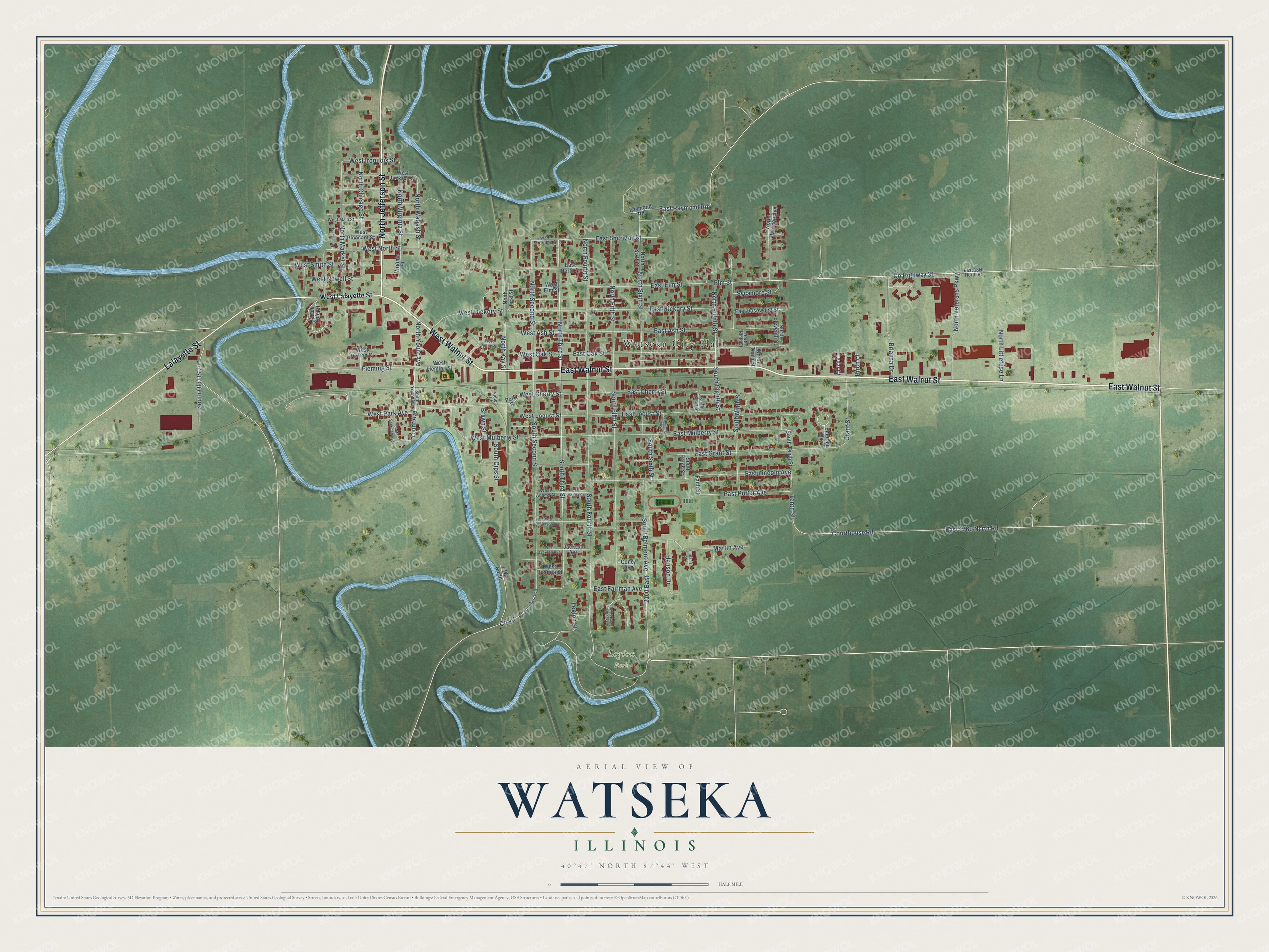
Street and place names on the Watseka, Illinois map
These names are printed on the map of Watseka, Illinois.
Places: Watseka City Hall and Legion Park.
Streets and roads: East Walnut Street, North Jefferson Street, West Walnut Street, Lafayette Street, North Third Street, County Highway 31, Brianna Drive, Elm Street, East Sheridan Street, North Eighth Street, South Third Street, West Park Avenue.
More street names, A to Z
1740 North, 2100 East, Birch Court, Brown Street, Cedar Court, Coney Avenue, County Highway 43, Courthouse Road, Creek Side Court, East 1760 North Road, East 1850 North Road, East Adams Street, East Ash Street, East Cherry Street, East Elm Street, East Fairman Avenue, East Grant Street, East Hickory Street, East Lincoln Avenue, East Locust Street, East Mulberry Street, East North Street, East Oak Street, East Porter Avenue, East Raymond Road, East Rosewood Street, Emerald Way, Faith Street, Fidler Court, Fleming Street, Grant Street, Hanson Drive, Jackson Avenue, Jordan's Court, Kessinger Place, Legion Street, Martin Avenue, North Chicago Street, North Clarence Avenue, North Eleventh Street, North Fifth Street, North First Street, North Fourth Street, North Kay Street, North Littlefuse Lane, North Market Street, North Ninth Street, North Second Street, North Sixth Street, North Tenth Street, North Veterans Parkway, North Virginia Street, North Wabash Street, North Yount Avenue, Park Street, Raymond Road, South Belmont Avenue, South Cips Street, South Eighth Street, South Fifth Street, South Fourth Street, South Ninth Street, South Old US 24, South Ralph Street, South Second Street, South Seventh Street, South Sheridan Avenue, South Short Street, South Sixth Street, South Tenth Street, South Western Street, South Yount Avenue, Sycamore Street, Tenth Street, Virginia Street, West Adams Street, West Ash Street, West Cherry Street, West Elm Street, West Fleming Street, West Herron Court, West Hickory Street, West Iroquois Street, West Jackson Avenue, West Jackson Street, West Jefferson Avenue, West Juanita Street, West Lafayette Street, West Locust Street, West Main Street, West Mulberry Street, West Newell Street, West North Street, West Oak Street, West Pleasant Street, West Sheridan Street, West Smith Street, West Victory Street, Yount Avenue.
See the Watseka, Illinois map on a wall
The Watseka map as an 18 x 24 inch print in a black frame.

This beautifully detailed map of Watseka makes an attractive addition to your office, library, or den, and it can even be used to teach children the geography and history of the area. It also makes a great gift for anyone who grew up in Watseka or moved away. When you’re done exploring, click here to get your copy of the Watseka map.