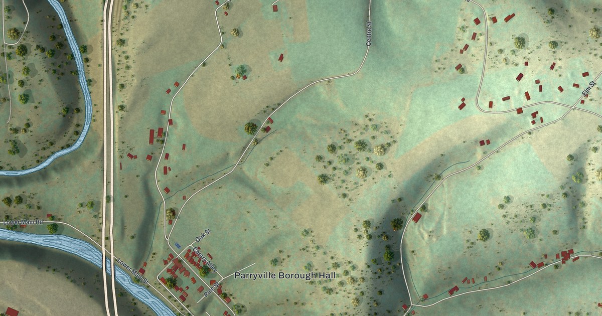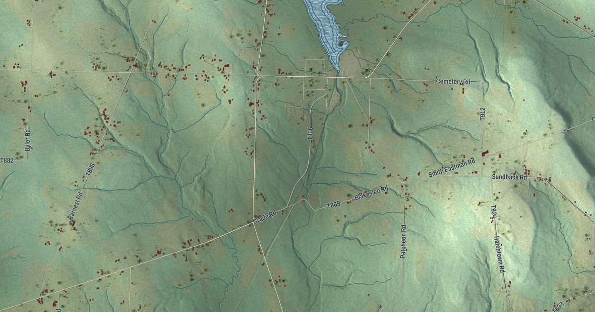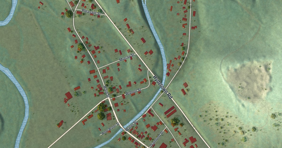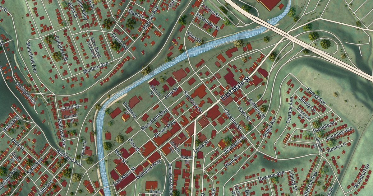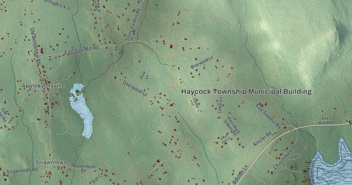
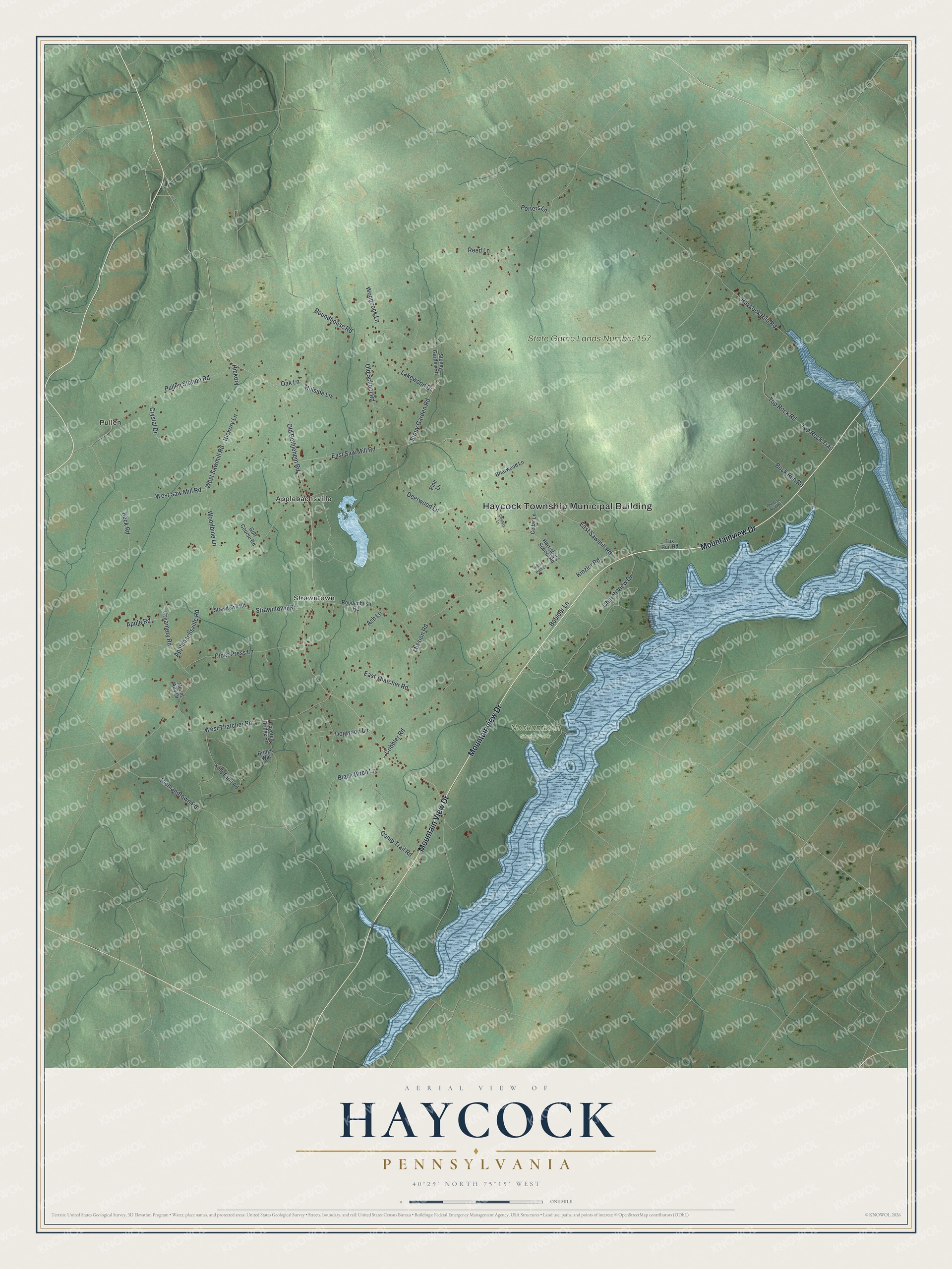
This beautifully detailed map of Haycock, Pennsylvania was created in 2026 using aerial imagery combined with modern topographical, census, street and landmark data. It's a modern aerial view of Haycock in Bucks County, Pennsylvania, that combines modern data with a vintage aesthetic. The roads feature printed names, and if you look closely you can find your exact house accurately shown in its correct location.
Explore an aerial view of Haycock, Pennsylvania
On this map you'll find Haycock Township Municipal Building, Nockamixon State Park, State Game Lands Number 157, Applebachsville, Pullen, Strawntown, Mountainview Drive, Mountain View Drive, Old Bethlehem Road, Boulder Lane, East Sawmill Road, East Saw Mill Road, and more. Each red shape is a building, so zoom in on the preview and look for yours.
Every town has a first chapter, and Haycock is no exception. The Haycock Township puts it this way: "Haycock Township contains 2010 acres of State Game Lands, including Haycock Mountain, also within the Township are the 500 acre Lake Towhee County Park, and a large part of Lake Nockamixon State Park."
Haycock is a place in Bucks County. The Census Bureau counted 2,200 people here in 2020.
Take a closer look at the Haycock map
Names on this map
These names are printed on this map.
Places: Haycock Township Municipal Building, Nockamixon State Park, State Game Lands Number 157, Applebachsville, Pullen and Strawntown.
Streets and roads: Mountainview Drive, Mountain View Drive, Old Bethlehem Road, Boulder Lane, East Sawmill Road, East Saw Mill Road, Haycock Run Road, West Saw Mill Road, Camp Trail Road, Kinzler Road, Potters Lane, Deerwood Lane.
More street names, A to Z
Applebachsville Road, Apple Road, Ash Lane, Beck Road, Black Birch Lane, Briarwood Lane, Bridge Way, Buck Run Road, Cedar Lane, Church View Drive, Cider Press Lane, Cobbler Road, Country Lane, Covered Bridge Road, Creamery Road, Crystal Drive, Dogwood Lane, East Thatcher Road, Fox Run Road, Golf Course Road, Harrisburg School Road, Hickory, Hickory Lane, Hillside Lane, Indian Path Court, Kelly Farm Road, Lakewood Drive, Mission Road, Mount Airy Drive, Oak Lane, Old School Road, Pheasant Run Road, Pine Lane, Pullen Station Road, Reed Lane, Richlandtown Road, Roudenbush Road, Roundhouse Road, Stoney Garden Road, Stony Garden Road, Strawntown Road, Strawtown Road, Top Rock Road, Top Rock Trail, West Sawmill Road, West Thatcher Road, Woodbine Lane, Woodcock Lane.
Created by KNOWOL in 2026. The buildings are small red shapes, the roads carry their printed names, and shaded relief shows the shape of the land. The title panel reads "AERIAL VIEW OF HAYCOCK PENNSYLVANIA" with 4, 0, °, 2, 9, ', , N, O, R, T, H, , 7, 5, °, 1, 5, ', , W, E, S, T.
Hang it in the hallway, the office or the cabin, or give it to someone who left Haycock and still calls it home. Open the preview and look for a street you know. See sizes and frames for the Haycock map.