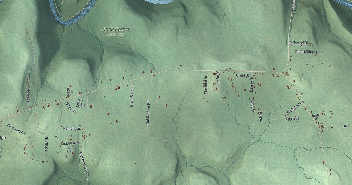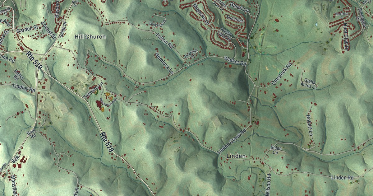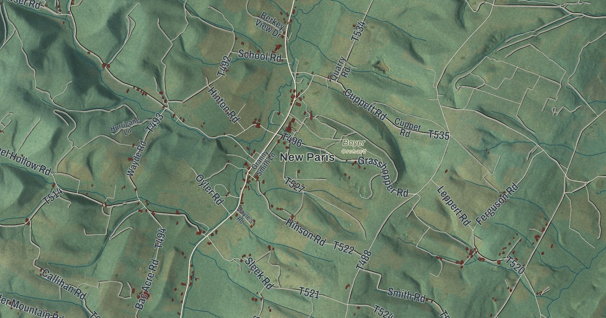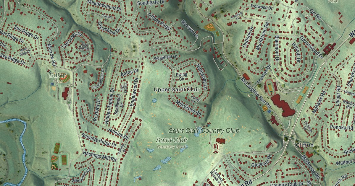
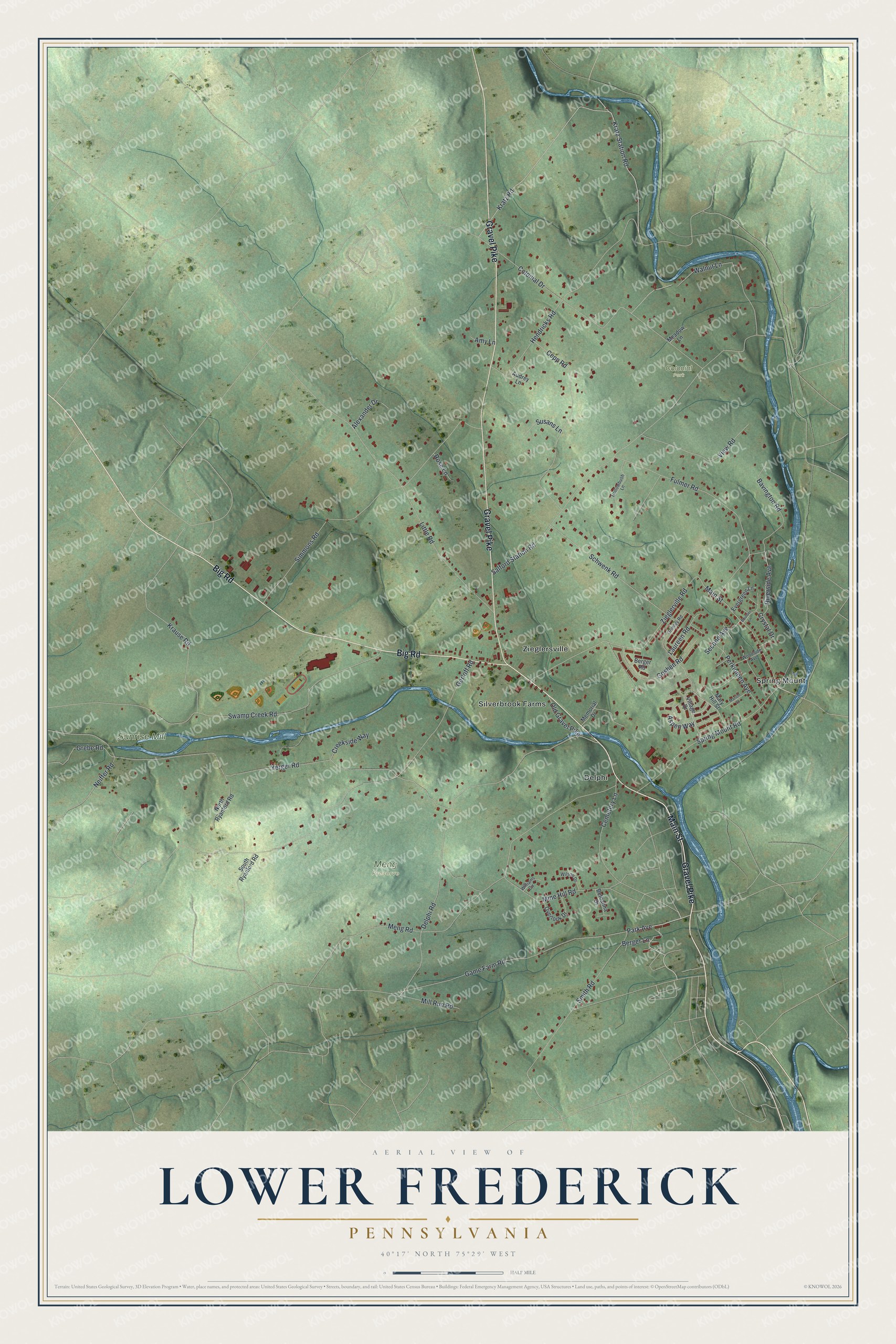
This beautifully detailed map of Lower Frederick, Pennsylvania was created in 2026 using aerial imagery combined with modern topographical, census, street and landmark data. It's a modern aerial view of Lower Frederick in Montgomery County, Pennsylvania, that combines modern data with a vintage aesthetic. The roads feature printed names, and if you look closely you can find your exact house accurately shown in its correct location.
Explore an aerial view of Lower Frederick, Pennsylvania
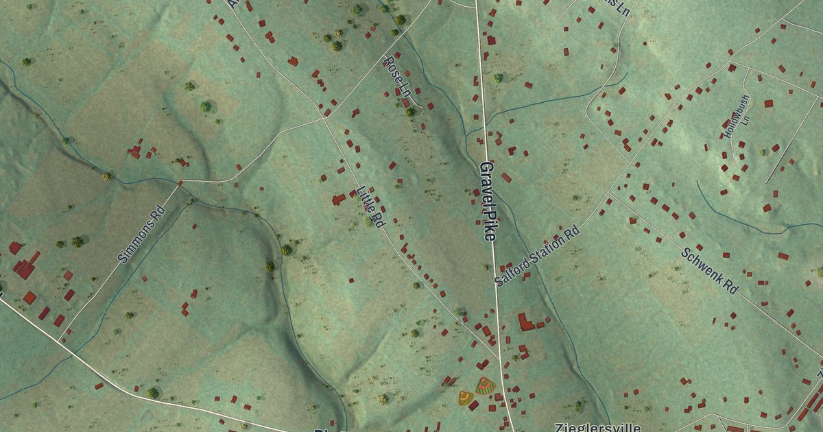
On this map you'll find Colonial Park, Meng Preserve, Sunrise Mill, Delphi, Silverbrook Farms, Spring Mount, Zieglersville, Main Street, Gravel Pike, Big Road, Berger Lane, Kratz Road, and more. Each red shape is a building, so zoom in on the preview and look for yours.
Here is a piece of Lower Frederick history, in the words of the record. The LivingPlaces puts it this way: "In 1919, Frederick Township was divided into Upper Frederick and Lower Frederick townships, the last of Montgomery County's municipalities to be incorporated. Lower Frederick's Delphi and Spring Mount villages developed into a resort area as the Reading Railroad's Perkiomen Branch made them a popular destination for Philadelphians."
Lower Frederick is a place in Montgomery County. The Census Bureau counted 4,830 people here in 2020.
Take a closer look at the Lower Frederick map
Names on this map
These names are printed on this map.
Places: Colonial Park, Meng Preserve, Sunrise Mill, Delphi, Silverbrook Farms, Spring Mount and Zieglersville.
Streets and roads: Main Street, Gravel Pike, Big Road, Berger Lane, Kratz Road, Park Avenue, Gerloff Road, Salford Station Road, Yerger Road, Delphi Road, Meng Road, Swamp Creek Road.
More street names, A to Z
Alexander Drive, Amy Lane, Aspen Way, Audrey Lane, Bavington Road, Berger Road, Bethanna Drive, Boulder Lane, Cemetery Lane, Cepp Road, Colonial Drive, Creekside Way, Crystal Drive, Evergreen Lane, Fulmer Road, Game Farm Road, Goshen Road, Grebe Road, Grimley Road, Hendricks Road, Hollowbush Lane, Kratz Station Road, Krause Road, Laureen Road, Little Road, Marion Street, Mary Hill Street, Meadow Lane, Memorial Drive, Mill Run Road, Mine Hill Road, Neiffer Road, North Ryanford Road, Old Gravel Pike, Overlook Drive, Perkiomen Avenue, Riverside Avenue, Rose Lane, Schwenk Road, Second Avenue, Simmons Road, Smith Road, South Ryanford Road, Spring Mount Road, Susans Lane, View Road, Village Drive, Walnut Lane, Williams Circle, Wilson Drive, Woodside Avenue, Zieglerville Road.
Created by KNOWOL in 2026. The buildings are small red shapes, the roads carry their printed names, and shaded relief shows the shape of the land. The title panel reads "AERIAL VIEW OF LOWER FREDERICK PENNSYLVANIA" with 4, 0, °, 1, 7, ', , N, O, R, T, H, , 7, 5, °, 2, 9, ', , W, E, S, T.
It suits a den, a classroom or a front hall, and it makes a gift for anyone with Lower Frederick roots. Open the preview and find the block you know. See sizes and frames for the Lower Frederick map.