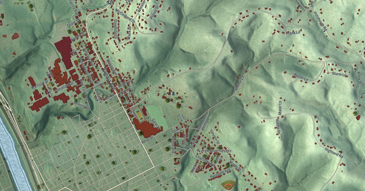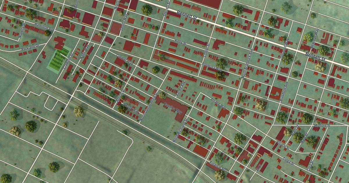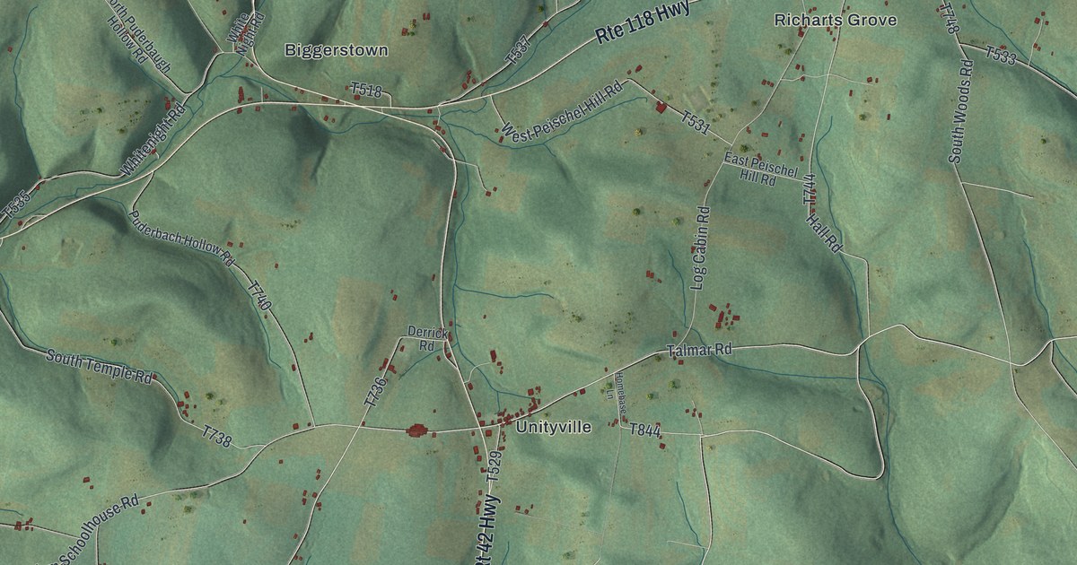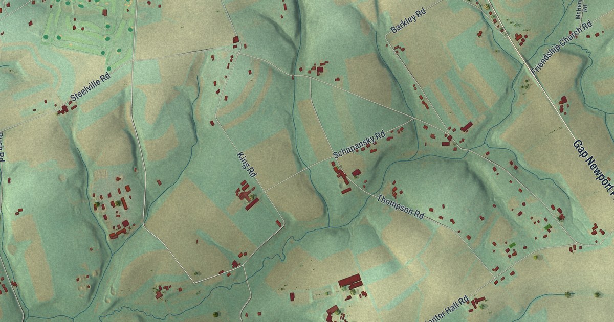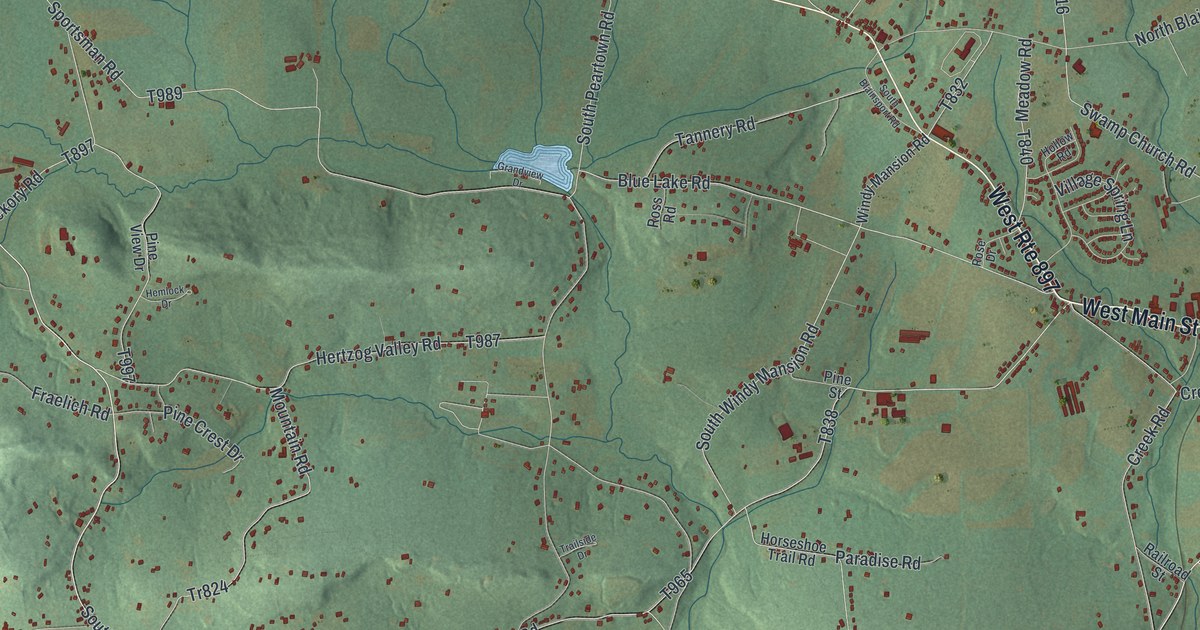
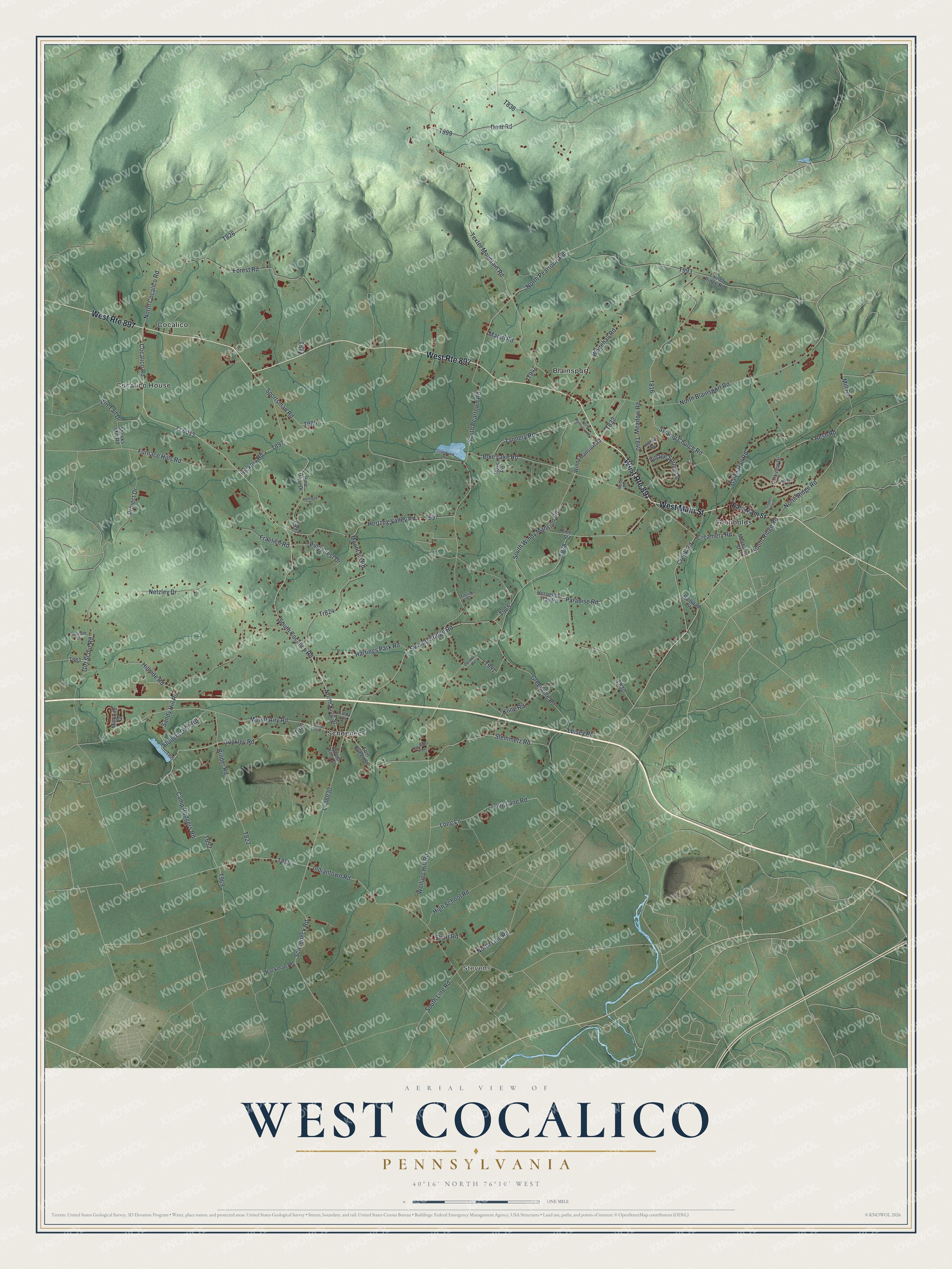
This beautifully detailed map of West Cocalico, Pennsylvania was created in 2026 using aerial imagery combined with modern topographical, census, street and landmark data. It's a modern aerial view of West Cocalico in Lancaster County, Pennsylvania, that combines modern data with a vintage aesthetic. The roads feature printed names, and if you look closely you can find your exact house accurately shown in its correct location.
Explore an aerial view of West Cocalico, Pennsylvania
On this map you'll find Stevens, Blainsport, Cocalico, Cocalico House, Reinholds, Schoeneck, West Main Street, Swamp Bridge Road, T824, Steinmetz Road, Gockley Road, North King Street, and more. Each red shape is a building, so zoom in on the preview and look for yours.
Every town has a first chapter, and West Cocalico is no exception. The West Cocalico Township puts it this way: "Swiss Mennonites settled the village of Schoeneck in 1733 purchasing 1500 acres from the Penn brothers. These early settlers were attracted to this area by the heavy timber and rich limestone land."
West Cocalico is a place in Lancaster County. The Census Bureau counted 7,456 people here in 2020.
Take a closer look at the West Cocalico map
Names on this map
These names are printed on this map.
Places: Stevens, Blainsport, Cocalico, Cocalico House, Reinholds, Schoeneck and Oak Ridge Park.
Streets and roads: West Main Street, West Route 897, Swamp Bridge Road, Steinmetz Road, Gockley Road, North King Street, South Ridge Road, Lr 6013, South Cocalico Road, Mount Airy Road, North Peartown Road, South Line Road.
More street names, A to Z
Binder Road, Blue Lake Road, Boulder Drive, Camp Rodgers Road, Chapel View Drive, Cocalico Road, Creamery Road, Creek Road, Deer Road, East Main Street, East Queen Street, Forest Road, Fraelich Road, Furnace Hills Road, Galen Hall Road, Girl Scout Road, Grandview Drive, Greenville Road, Hackman Road, Hartings Park Road, Hemlock Drive, Hertzog Valley Road, Hickory Road, High School Road, Hillside Road, Hollow Road, Horseshoe Trail Road, Indiantown Road, Kline Road, Laurel Ridge Road, Leisey Road, Linda Lane, Long Lane, Long Lane Road, Lr 36030, Marsh Road, Meadow Road, Mechanic Street, Millpond Drive, Mill Road, Mountain Road, Netzley Drive, North Blainsport Road, North Cocalico Road, North Line Road, North Ridge Road, Paradise Road, Parkview Drive, Pine Crest Drive, Pine Street, Pine View Drive, Pin Tail Drive, Project Drive, Railroad Street, Resh Road, Rose Drive, Ross Road, Sandy Hill Road, Schoeneck Road, Shenks Mill Road, Short Road, South Blainsport Road, South King Street, South Peartown Road, South Windy Mansion Road, Sportsman Road, Steeple Court, Stobers Dam Road, Strickler Road, Swamp Church Road, Tannery Road, Texter Mountain Road, Tr824, Trailside Drive, Village Spring Lane, West Queen Street, Whitehall Road, Windy Mansion Road, Wollups Hill Road.
Created by KNOWOL in 2026. The buildings are small red shapes, the roads carry their printed names, and shaded relief shows the shape of the land. The title panel reads "AERIAL VIEW OF WEST COCALICO PENNSYLVANIA" with 4, 0, °, 1, 6, ', , N, O, R, T, H, , 7, 6, °, 1, 0, ', , W, E, S, T.
Hang it in the hallway, the office or the cabin, or give it to someone who left West Cocalico and still calls it home. Open the preview and look for a street you know. See sizes and frames for the West Cocalico map.