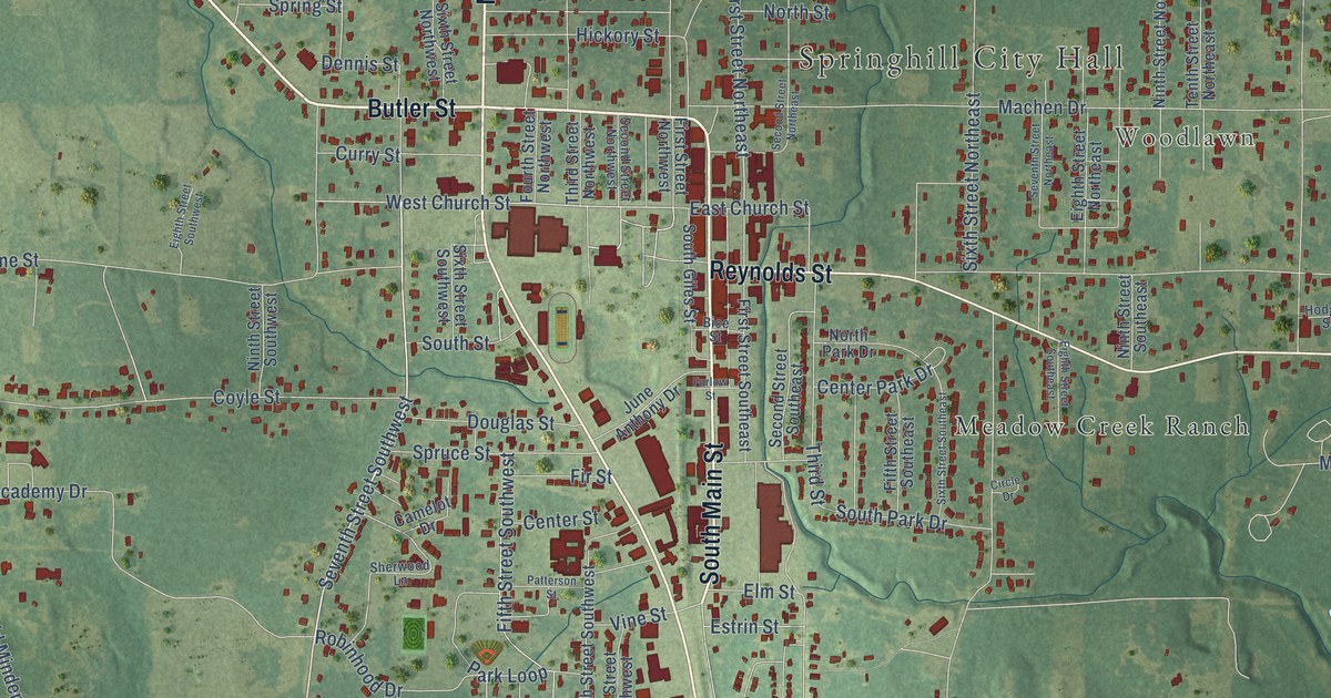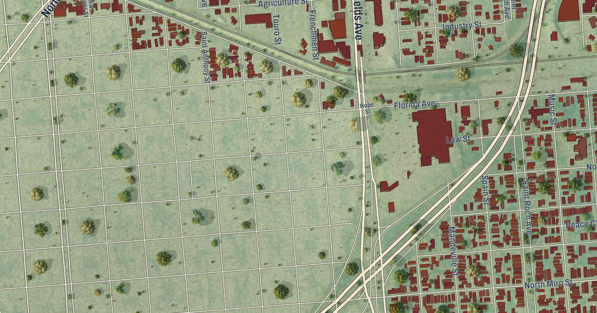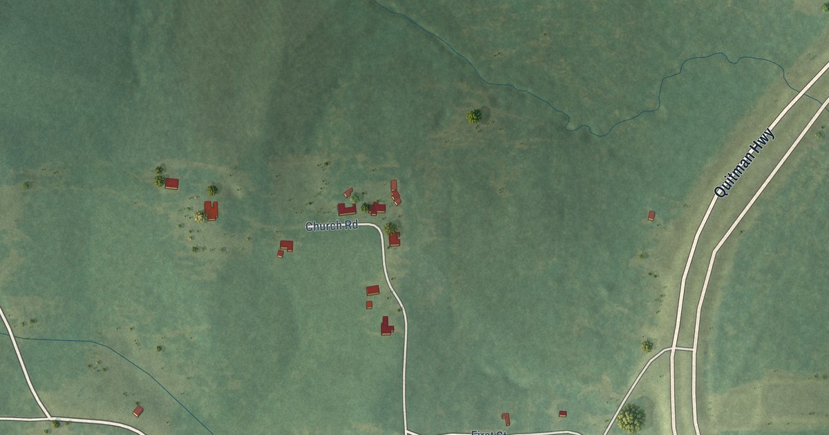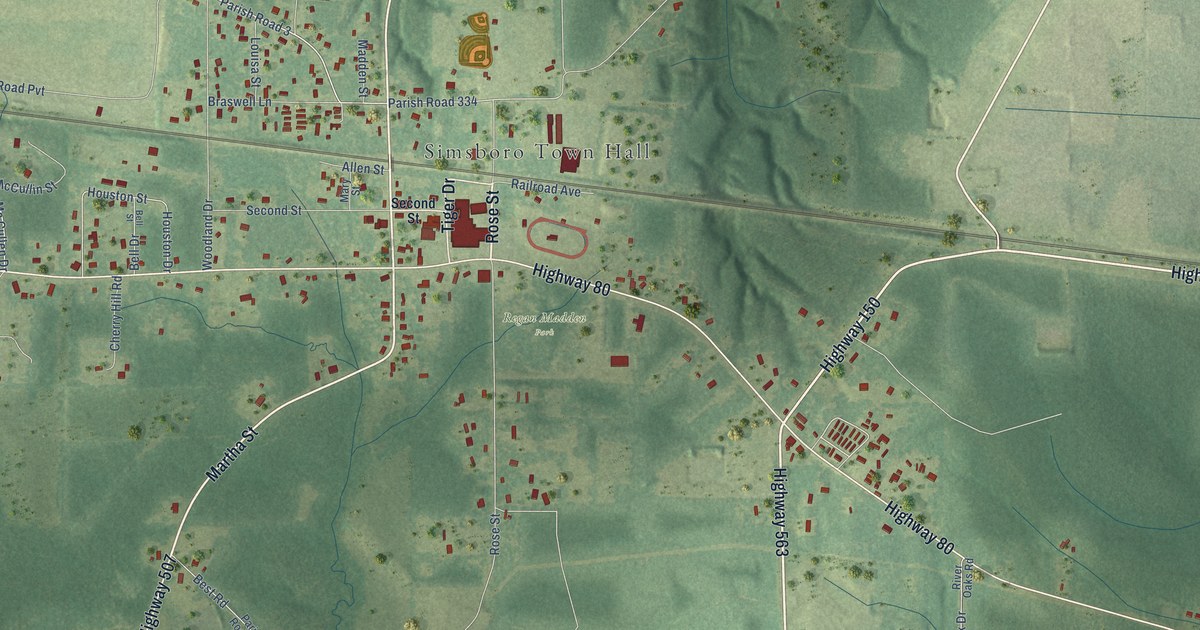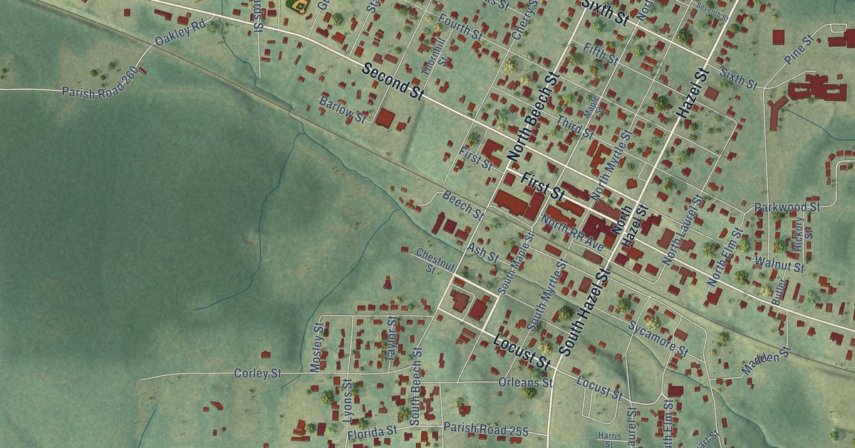
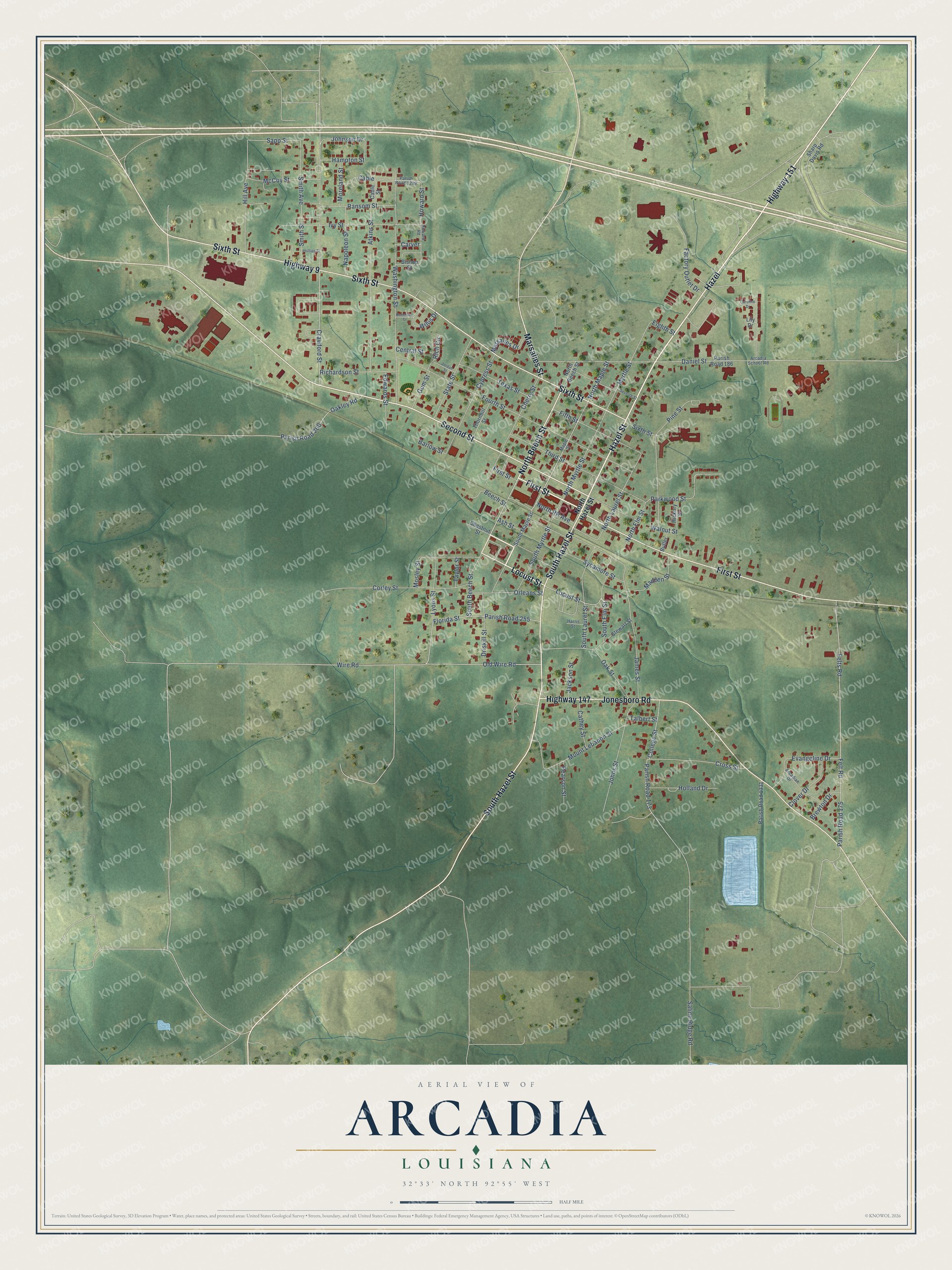
This beautifully detailed map of Arcadia, Louisiana was created in 2026 using aerial imagery combined with modern topographical, census, street and landmark data. It's a modern aerial view of Arcadia in Bienville Parish, Louisiana, that combines modern data with a vintage aesthetic. The roads feature printed names, and if you look closely you can find your exact house accurately shown in its correct location.
Explore an aerial view of Arcadia, Louisiana
On this map you'll find First Street, Highway 151, South Hazel Street, Second Street, Locust Street, North Beech Street, Highway 147, Sixth Street, Jonesboro Road, Hazel Street, Highway 9, Marsalies Street, and more. Each red shape is a building, so zoom in on the preview and look for yours.
Arcadia has a story worth telling. The Century Historical Association puts it this way: "Before the railroad was built, Arcadia was only a small village on the stage coach route between Monroe and El Paso, but after the railroad was completed in 1884 it began to grow rapidly, and in 1892, the parish seat was removed from Sparta and located here."
Arcadia is a town in Bienville Parish. The Census Bureau counted 2,746 people here in 2020.
Take a closer look at the Arcadia map
Names on this map
These names are printed on this map.
Streets and roads: First Street, Highway 151, South Hazel Street, Second Street, Locust Street, North Beech Street, Highway 147, Sixth Street, Jonesboro Road, Hazel Street, Highway 9, Marsalies Street.
More street names, A to Z
Arcadian Drive, Arcadia School Road, Ash Street, Atkins Street, Barlow Street, Beech Street, Bishop Street, Brewton Drive, Butler, Cable, Cable Street, Caroline Drive, Carver, Cathey Street, Central Street, Cherry Street, Chestnut Street, Clover Drive, College Street, Corley Street, Crawford Street, Cross Street, Cypress Street, Daniel Street, Driskill Street, Edwards Street, Eighth Street, Evangeline Drive, Factory Outlet Drive, Felt Road, Felts Road, Fifth Street, Florida Street, Fourth Street, Gum Street, Hampton Street, Harris Street, Hazel, Hickory Street, Hill Avenue, Holland Drive, Howard Road, Howard Street, Ivy Street, Jackson Street, James Street, Johnson Drive, Johns Street, Jordan Street, Lily Drive, Lyons Street, Madden Street, Maple Street, Marsailes Drive, McCoy Street, Moreland Street, Mosley Street, Mount Lebanon Street, Myrtle Street, Napoleon Street, North Elm Street, North Hazel Street, North Laurel Street, North Maple Street, North Myrtle Street, North RR Avenue, Oakley Road, Oak Street, Old Wire Road, Orleans Street, Parish Road 173, Parish Road 175, Parish Road 186, Parish Road 255, Parish Road 260, Parish Road 1299, Parish Road 1331, Parkwood Street, Pearson Street, Phillips Street, Pine Street, Ransom Street, Richardson Street, Rich Circle, Roberson Street, Saline Ridge Road, Sapp Street, Seventh Street, Sharp Davis Road, Smith Avenue, Smith Street, South Beech Street, South Elm Street, South Laurel Street, South Maple Street, South Myrtle Street, State Street, Stewart Street, Sycamore Street, Talbert Street, Taylor Street, Texas Street, Third Street, Thornhill Street, Walnut Street, Washington Street, Willis Drive, Wire Road.
Created by KNOWOL in 2026. The buildings are small red shapes, the roads carry their printed names, and shaded relief shows the shape of the land. The title panel reads "AERIAL VIEW OF ARCADIA LOUISIANA" with 32°33' NORTH 92°55' WEST.
It looks right in a kitchen, an office or a den, and it's a gift for anyone who grew up in Arcadia or moved away. Open the preview and find your street. See sizes and frames for the Arcadia map.