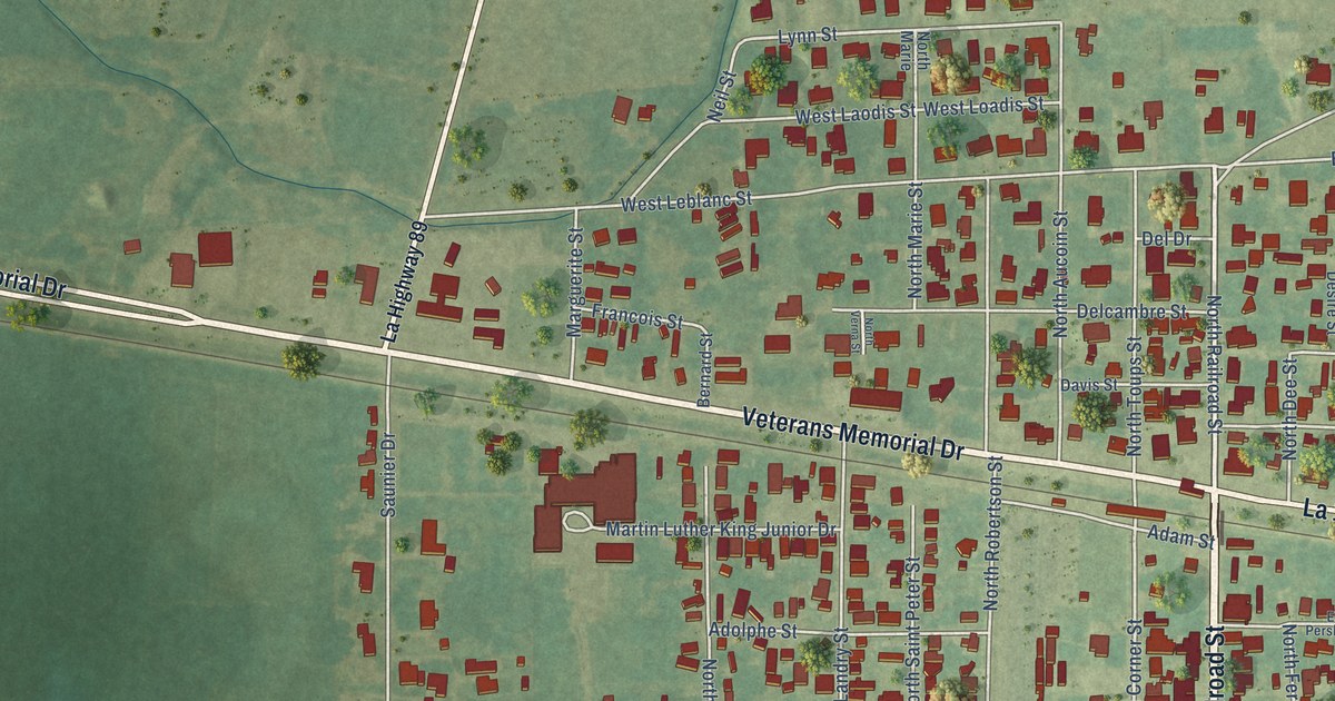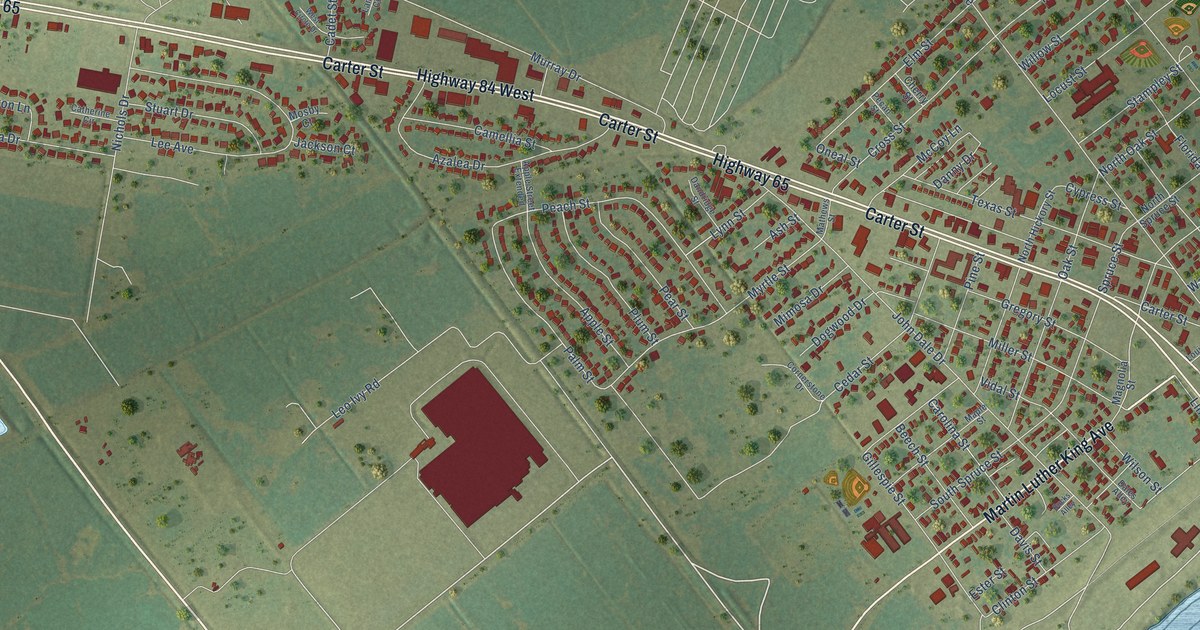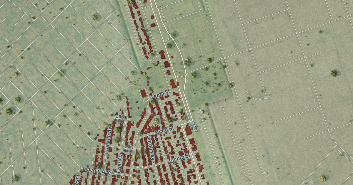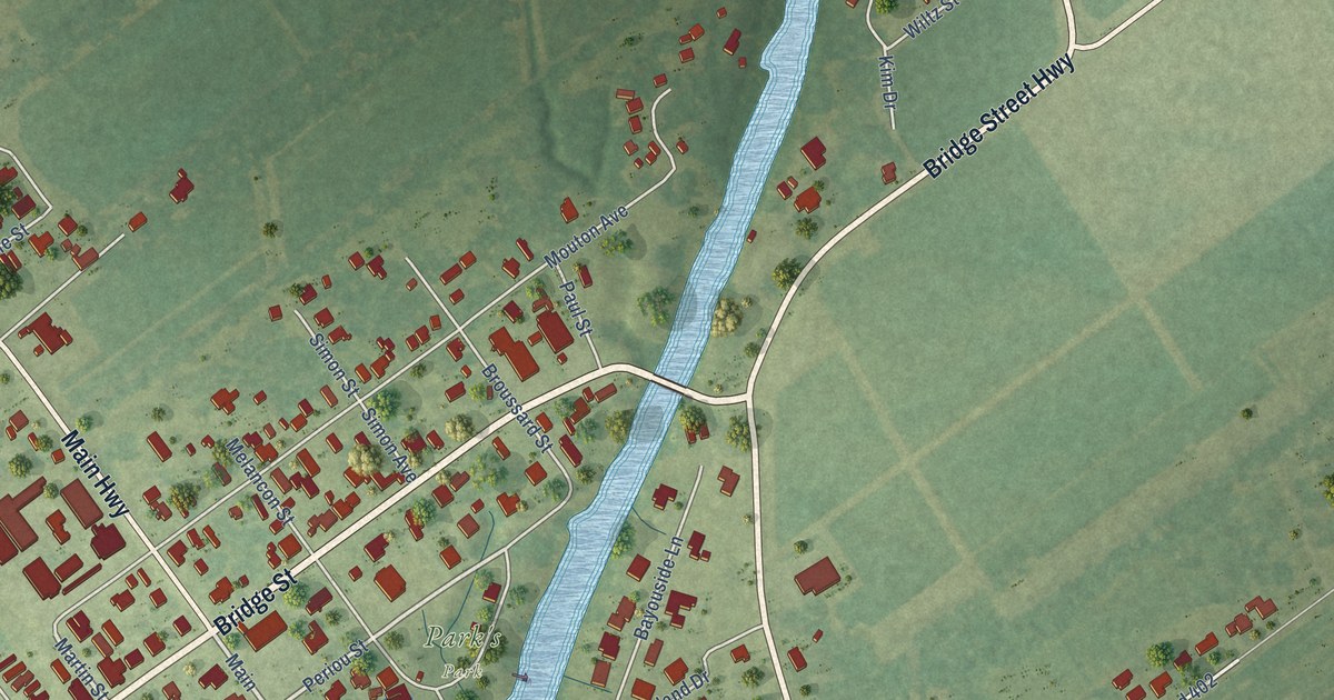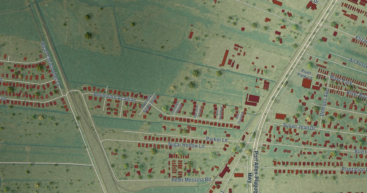
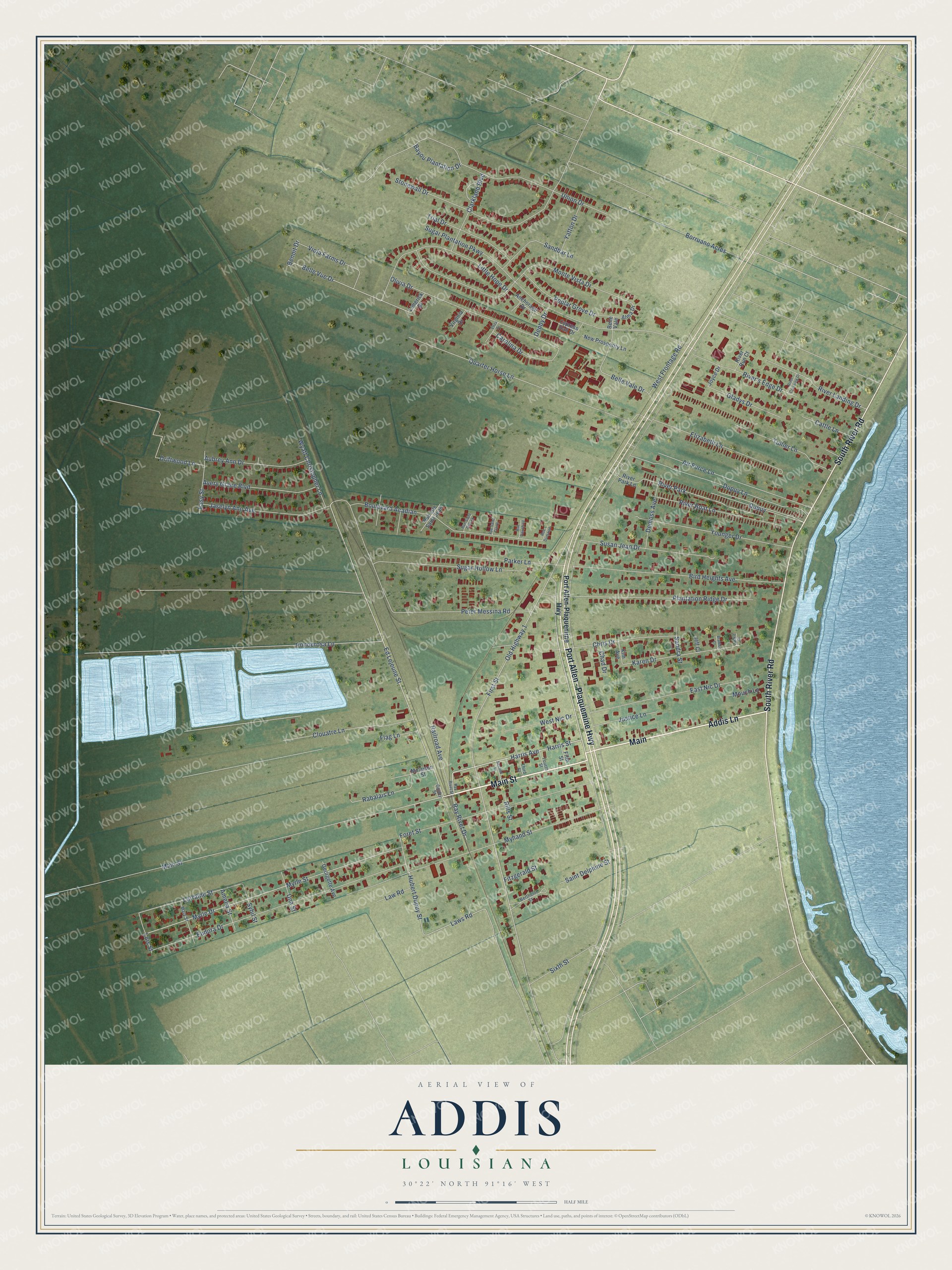
This beautifully detailed map of Addis, Louisiana was created in 2026 using aerial imagery combined with modern topographical, census, street and landmark data. It's a modern aerial view of Addis in West Baton Rouge Parish, Louisiana, that combines modern data with a vintage aesthetic. The roads feature printed names, and if you look closely you can find your exact house accurately shown in its correct location.
Explore an aerial view of Addis, Louisiana
On this map you'll find Main Street, Port Allen – Plaquemine Highway, South River Road, Addis Lane, Main, Sixth Street, Ed Lejeune Street, Harris Avenue, Harris Street, Laws Road, River Park, Belle Vue Drive, and more. Each red shape is a building, so zoom in on the preview and look for yours.
Every town has a first chapter, and Addis is no exception. The National Park Service puts it this way: "The Town of Addis was founded in 1881 or 1882, during the final phase of construction of the Texas and Pacific Railroad's line between New Orleans and Texas."
Addis is a town in West Baton Rouge Parish. The Census Bureau counted 6,731 people here in 2020.
Take a closer look at the Addis map
Names on this map
These names are printed on this map.
Places: River Park.
Streets and roads: Main Street, Port Allen - Plaquemine Highway, South River Road, Addis Lane, Main, Sixth Street, Ed Lejeune Street, Harris Avenue, Harris Street, Laws Road, Belle Vue Drive, Lorraine Street.
More street names, A to Z
Air Force Lane, Alma Drive, Amelia Street, Anchorage Drive, Aubrey Ann Drive, Avery Grace Boulevard, Bayou Plantation Drive, Belle Vale, Belle Vale Drive, Benoit Drive, Berthelot Street, Bird Heights Avenue, Borruano Acres, Boulevard Acadian, Bradley Court, Carolina Drive, Cattle Lane, Chad Drive, Chris Drive, Clarkland Boulevard, Clouatre Lane, Cypress Hall Drive, Demoss Avenue, Denby Drive, Driftwood Lane, Dupuy, Dupuy Lane, East Nic Drive, Easy Street, Elizabeth Lane, Eliza Drive, Eudora Drive, Fifth Street, First Street, Fitzgerald Street, Flag Lane, Foret Street, Fourth Street, Georgette Avenue, Gladys Drive, Guidry Street, Hubert Dupuy Street, Jackie Court, Jaselyn Ann Avenue, Jeff Court, Joyce Drive, Justice Lane, Karen Drive, Kim Avenue, Law Road, Limerick Drive, Little Hope Drive, Lois Street, Mary Street, Molaison Street, Monte Vista Drive, Mouch Lane, Myhand Street, Myrle Drive, Myrle Street, New Prosperity Lane, Old Highway 1, Olivia Drive, Parker Lane, Peter Messina Road, Plantation Ridge Drive, Ponderosa Lane, Poplar Grove Drive, Port Allen-Plaquemine Highway, Quarter Horse Lane, Rabalais Lane, Railroad Avenue, Ray Rivet Drive, Ray Rivet Street, Rills Street, River's Edge Drive, River Boat Lane, River Crossing Drive, River Landing Drive, River Park Lane, River Run Court, Rue Dauphine, Rue Dumaine, Rue Isle Saint Jean, Rue Saint Claire, Rue Saint Patrick, Saint Delphine Street, Sandbar Lane, Sandra Street, Second Street, Stonewall Drive, Sugar Hollow Lane, Sugar Plantation Parkway, Susan Jean Drive, Sybil Street, Third Street, Trial Drive, Tullier Lane, Una Street, Union Drive, Viola Farms Drive, Virginia Drive, West Frontage Road, West Nic Drive, Wyatt Christopher Lane, Yatton Drive, Younger Drive.
See it on a wall
The Addis map as a framed print. Swipe for more.


Created by KNOWOL in 2026. The buildings are small red shapes, the roads carry their printed names, and shaded relief shows the shape of the land. The title panel reads "AERIAL VIEW OF ADDIS LOUISIANA" with 30°22' NORTH 91°16' WEST.
Hang it in the hallway, the office or the cabin, or give it to someone who left Addis and still calls it home. Open the preview and look for a street you know. See sizes and frames for the Addis map.