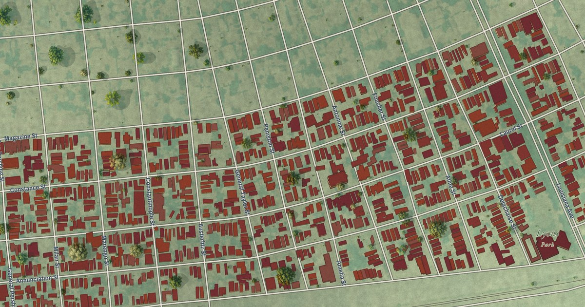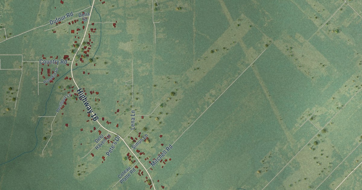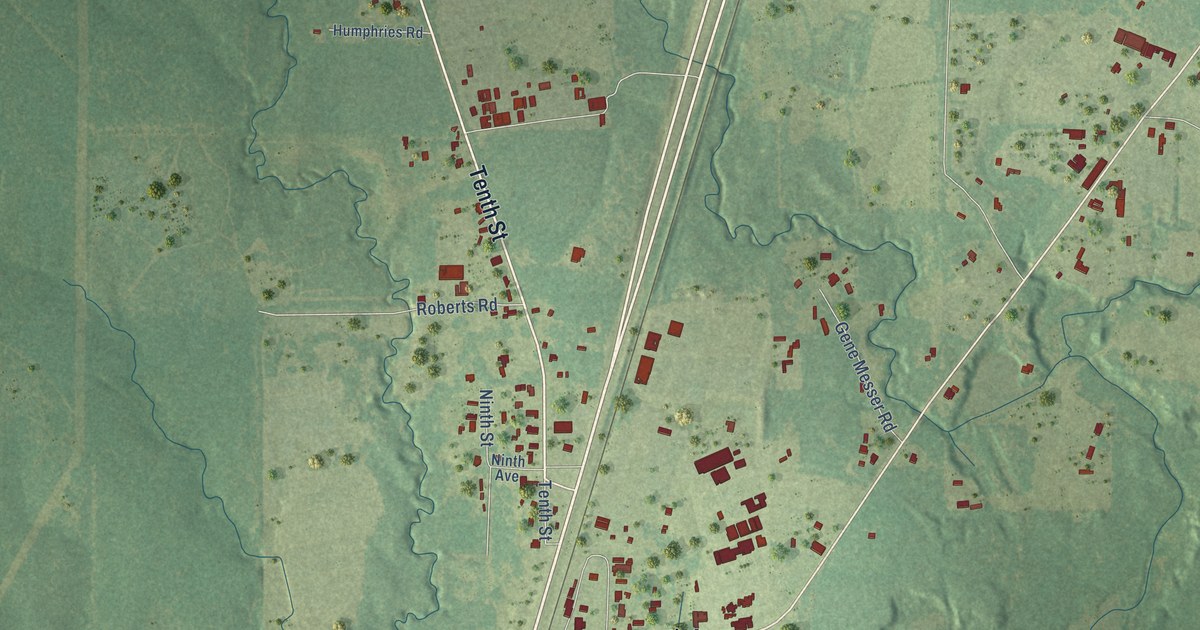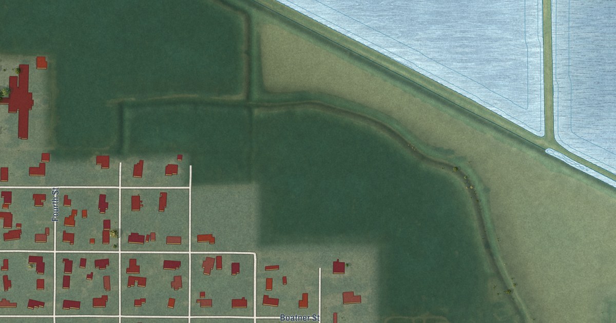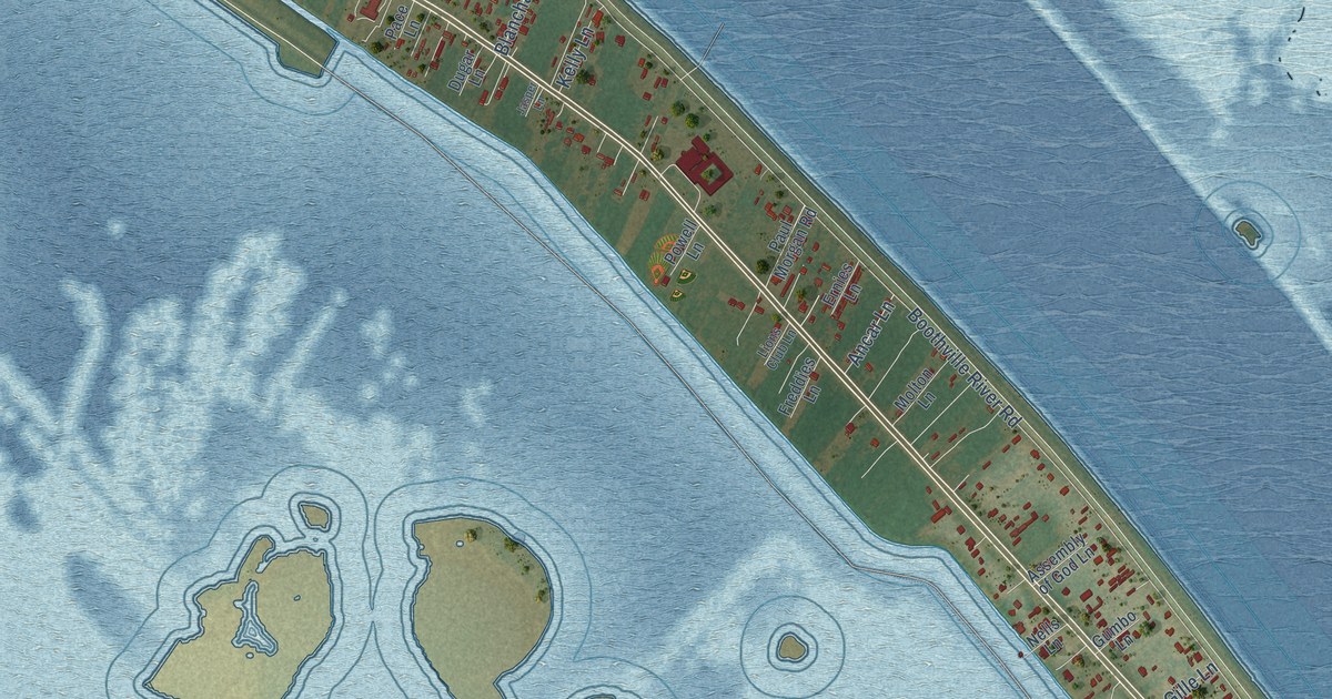
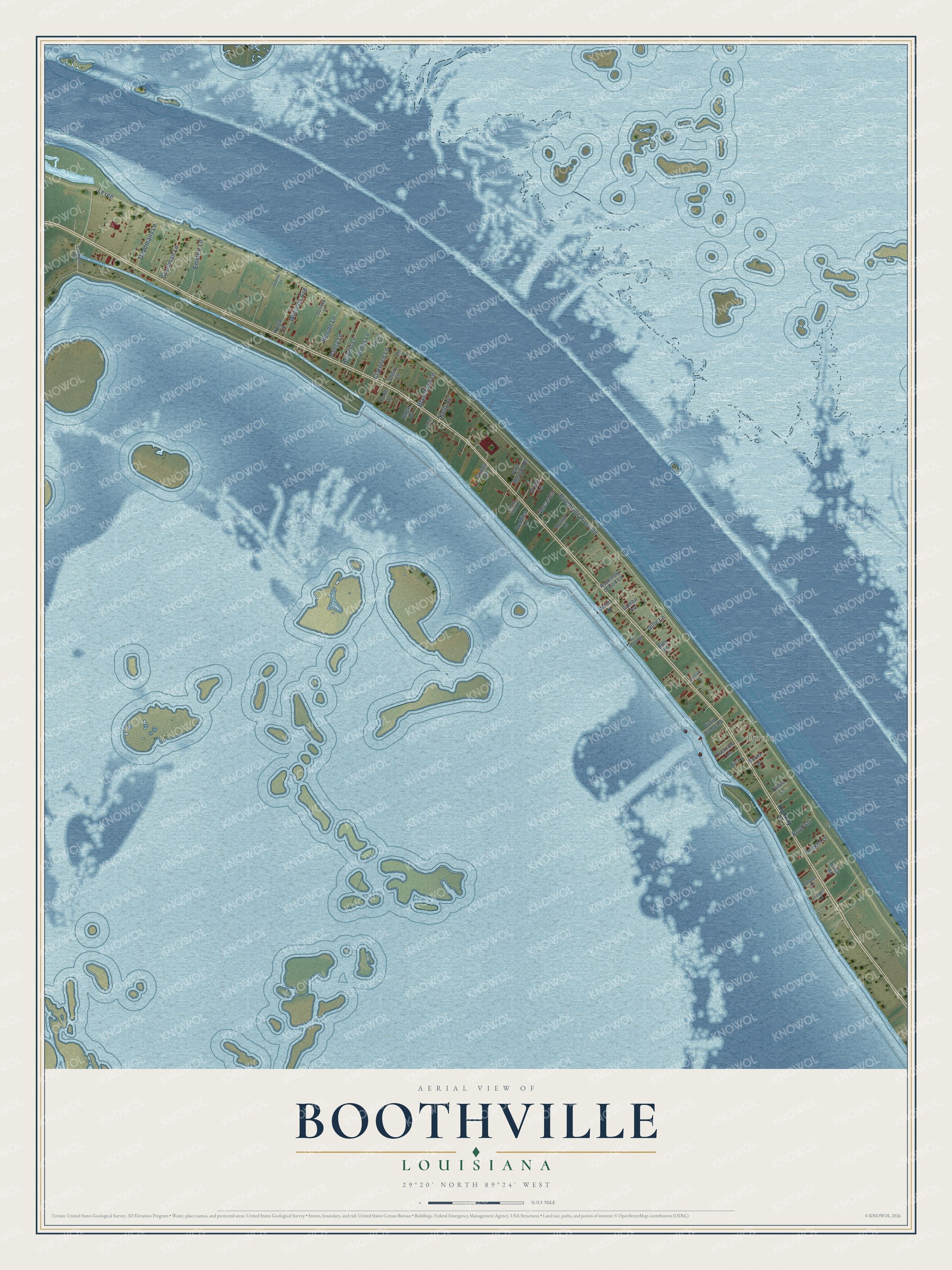
This beautifully detailed map of Boothville, Louisiana was created in 2026 using aerial imagery combined with modern topographical, census, street and landmark data. It's a modern aerial view of Boothville in Plaquemines Parish, Louisiana, that combines modern data with a vintage aesthetic. The roads feature printed names, and if you look closely you can find your exact house accurately shown in its correct location.
Explore an aerial view of Boothville, Louisiana
On this map you'll find Duvic, Levee, Boothville River Road, Emmett Lane, Williams Avenue, Goodman Lane, Deadmans Lane, Nelson Lane, Herbert Lane, Jones Lane, Clarence Lane, Blanchard Lane, and more. Each red shape is a building, so zoom in on the preview and look for yours.
Every town has a first chapter, and Boothville is no exception. Soul singer Rockie Charles, known as the President of Soul, was born in Boothville in 1942. He started his own Soulgate label in the 1960s, worked as a tugboat captain, and came back in the 1990s as a leading voice of Southern soul. Over the years he worked with Little Johnny Taylor, Percy Sledge, O. V. Wright and Otis Redding. That's from the Encyclopedia of the Blues.
Boothville is a community in Plaquemines Parish. The Census Bureau counted 718 people here in 2020.
Take a closer look at the Boothville map
Names on this map
These names are printed on this map.
Places: Duvic.
Streets and roads: Levee, Boothville River Road, Emmett Lane, Williams Avenue, Goodman Lane, Deadmans Lane, Nelson Lane, Herbert Lane, Jones Lane, Clarence Lane, Blanchard Lane, Kelly Lane.
More street names, A to Z
Ancar Lane, Assembly of God Lane, Bills Lane, Boyd Lane, Buras Lane, Chevy Lane, Clifford Lane, Compactor Road, Creppel Lane, Dugar Lane, Duncan Lane, Duvic Pump Road, Ernies Lane, Franklin Lane, Freddies Lane, Gille Lane, Gladys Lane, Granier Lane, Gumbo Lane, Hic Lane, Highway 23, Hingle Lane, Jasper Lane, Lions Club Lane, Molton Lane, Nells Lane, Pace Lane, Pansy Lane, Patton Lane, Paul Morgan Road, Phi Lane, Post Office Road, Powell Lane, River Road, Saxons Lane, Yvonnes Lane.
See it on a wall
The Boothville map as a framed print. Swipe for more.


Created by KNOWOL in 2026. The buildings are small red shapes, the roads carry their printed names, and shaded relief shows the shape of the land. The title panel reads "AERIAL VIEW OF BOOTHVILLE, LOUISIANA" with 29°20' NORTH 89°24' WEST.
Hang it in the hallway, the office or the cabin, or give it to someone who left Boothville and still calls it home. Open the preview and look for a street you know. See sizes and frames for the Boothville map.