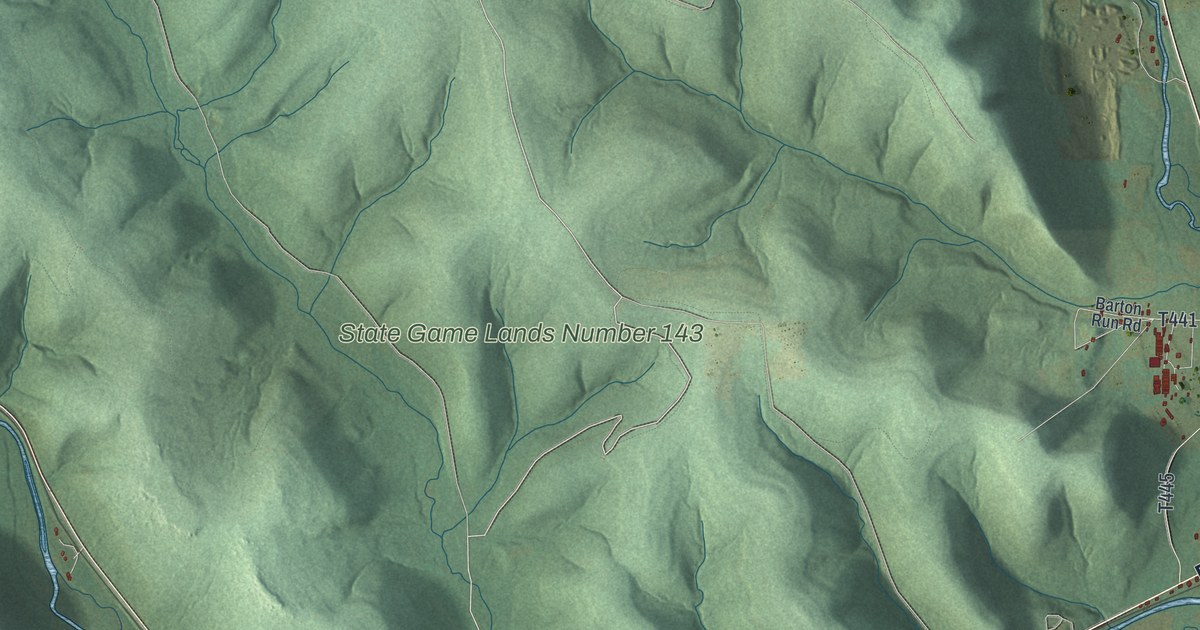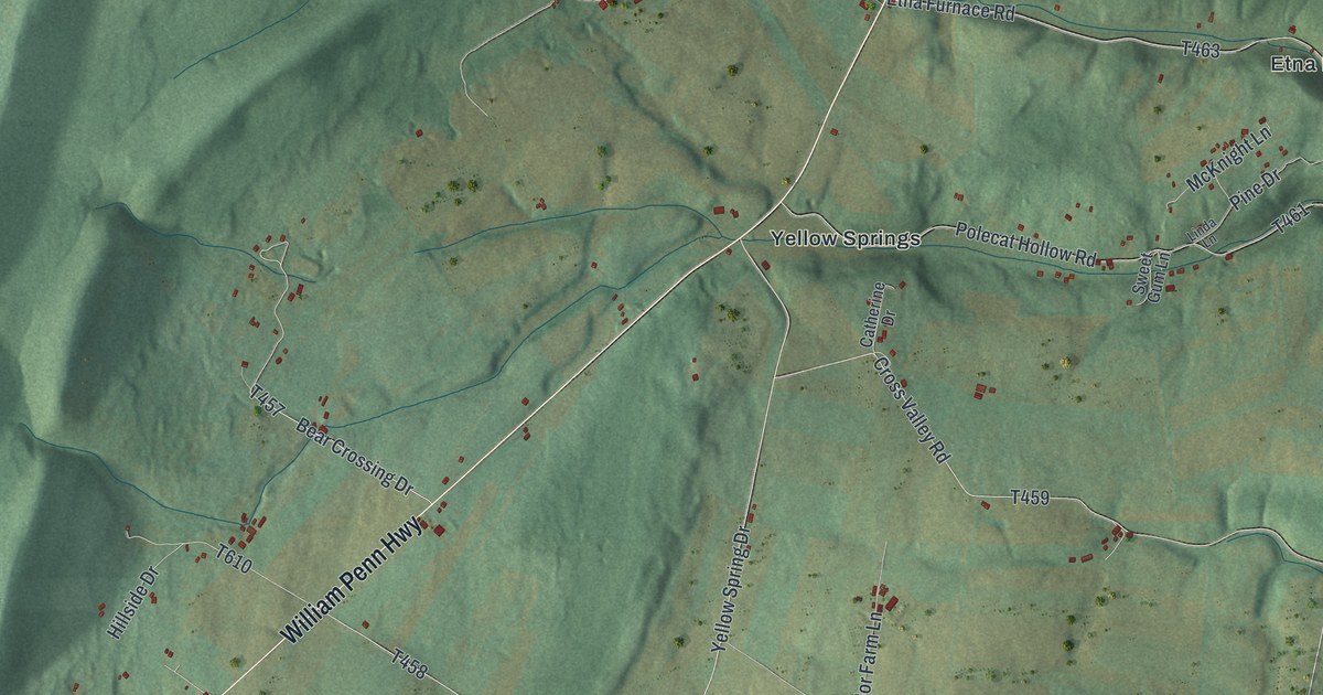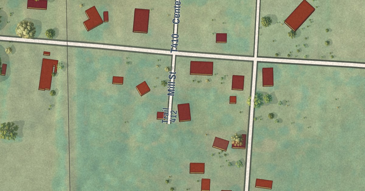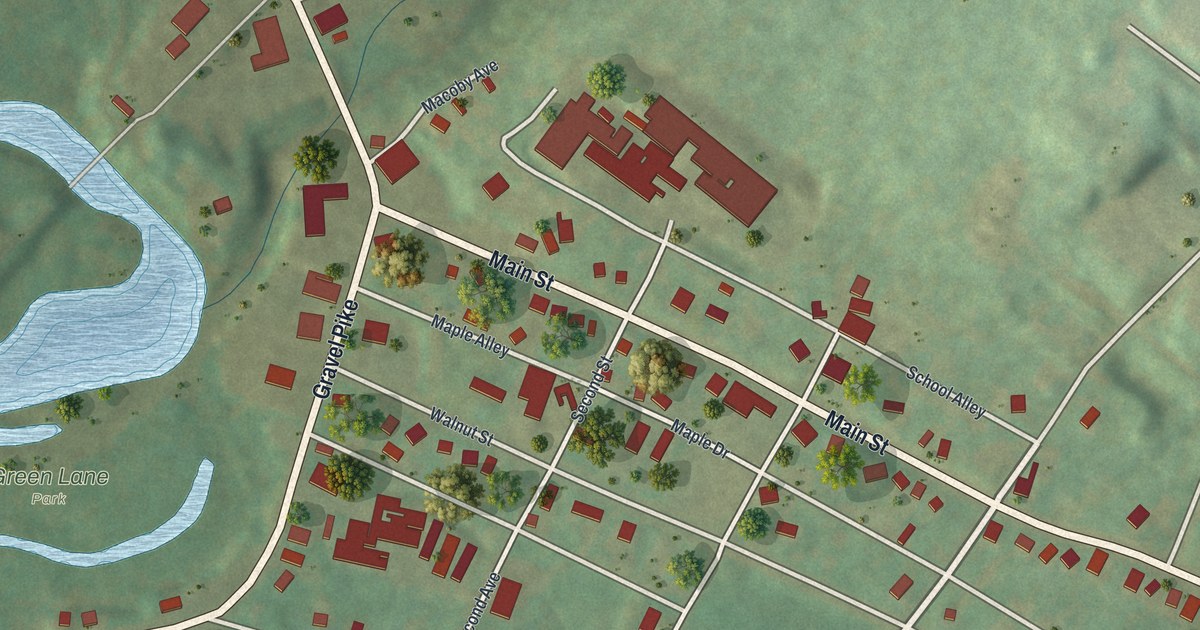
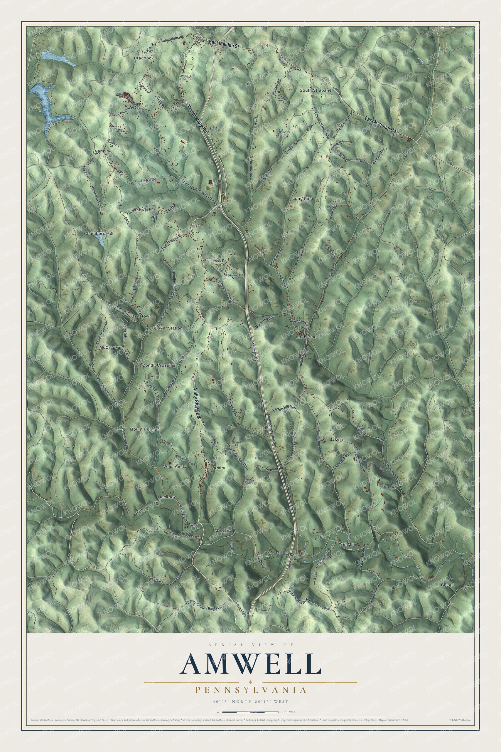
This beautifully detailed map of Amwell, Pennsylvania was created in 2026 using aerial imagery combined with modern topographical, census, street and landmark data. It’s a one-of-a-kind view of Amwell that combines accurate data with a vintage aesthetic. The map shows every building in its true location, many of the roads carry their names, and the shaded topographic relief shows the shape of the land.
Explore an aerial view of Amwell, Pennsylvania
On the map you’ll find Bissell, Amity, Baker Station, Bakers, Banetown, Braddock, Chambers Mill, Condit Crossing, Hackney, Lone Pine, Long Pine, McCracken, and more. If you look closely you can even find your house accurately drawn in its correct location. Zoom in on the preview to look for yours.
Did you know this piece of Amwell, Pennsylvania history?
In the spring of 1782, the Rev. Thaddeus Dodd opened a classical and mathematical school in Amwell Township. He put up the building near his own home to train young men for the ministry. Four of the five students at the opening hoped to become ministers. The school ran for three and a half years. That’s from the 1882 History of Washington County, Pennsylvania.
Take a closer look at the Amwell map
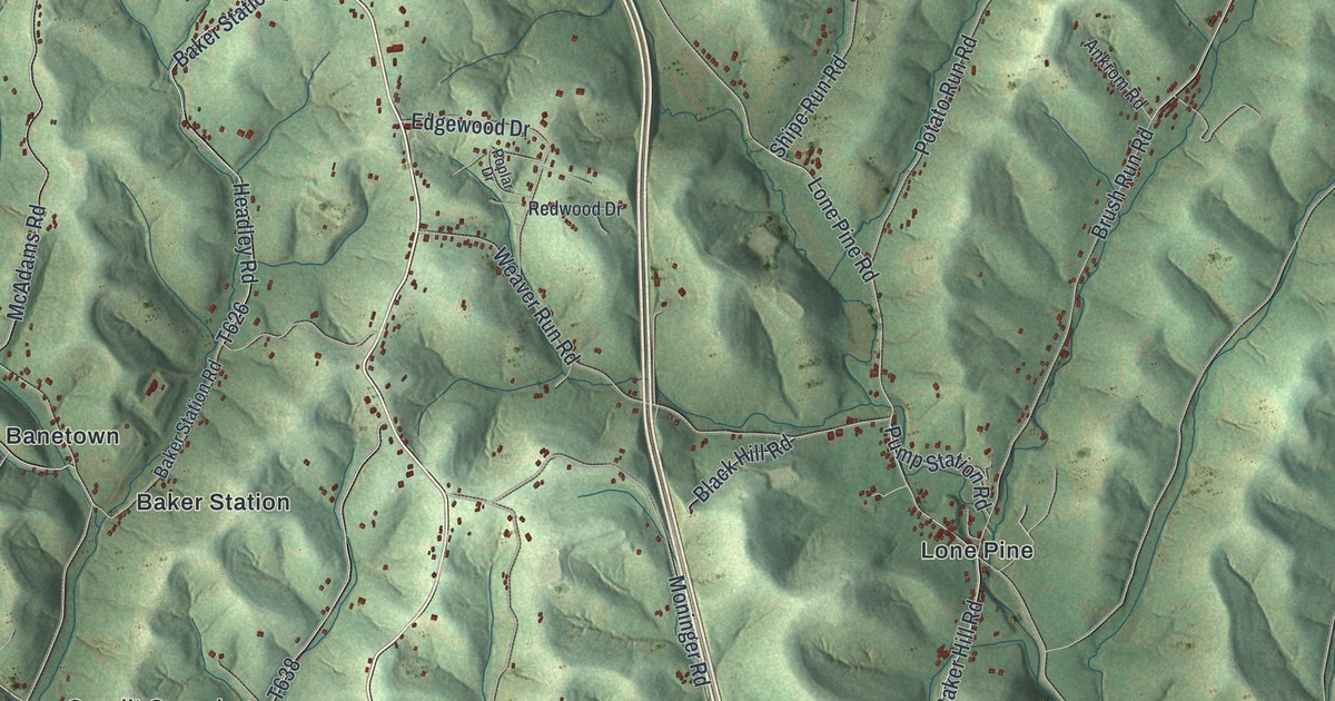
Street and place names on the Amwell, Pennsylvania map
These names are printed on the map of Amwell, Pennsylvania.
Places: Bissell, Amity, Baker Station, Bakers, Banetown, Braddock, Chambers Mill, Condit Crossing, Hackney, Lone Pine, Long Pine, McCracken, Mount Herman, South Strabane, Ten Mile, Vankirk and West Amity.
Streets and roads: Amity Ridge Road, Waynesburg Road, East Maiden Street, East National Pike, Dividing Ridge Road, Lone Pine Road, Hufford Run Road, Greene County Ridge Road, Ten Mile Road, Sanitarium Road, Redd Run Road, Baker Hill Road.
More street names, A to Z
Alamae Lakes Road, Anderson Drive, Ankrom Road, Archery Club Lane, Arthur Lane, Bailey Road, Baker Station Road, Bane Road, Banetown Road, Barrett Hill Road, Bash Lane, Black Hill Road, Braddock Drive, Brush Run Road, Burt Lane, Carey Way, Chestnut Ridge Road, Coolsprings Drive, Courson Hill Road, Craft Road, Crile Road, Day Road, Dynamite Road, East Hillsboro Road, Edgewood Drive, Friend Road, Funk Road, Gaushill Road, Hackney Station Road, Hallam Road, Hartley Hill Road, Hatfield Hill Road, Hatfield Road, Hathaway Road, Headley Road, Hickory Hollow Road, Hinerman Road, Horne Run Road, Hupp Lane, Iams Hill Road, Ikes Road, Johns Hill Road, Johnson Road, Lagonda Road, Laurie Lane, Lena Lane, Lewis Drive, Little Creek Road, Mac Adam Road, Mankey Lane, Mankey Road, McAdams Road, McCullough Hill Road, Moninger Road, Montgomery Run Road, Moroz Lane, Moscow Road, Mowl Road, Penn Hill Road, Pettit Road, Poplar Drive, Potato Run Road, Pump Station Road, Ravello Drive, Redwood Drive, Ridge Church Road, Ringland Road, Ross Road, Shidler Run Road, Shipe Run Road, Smith Run Road, South Main Street Extended, Sposato Road, Sturge Hollow Road, Trail 416, Turkey Lane, Vankirk Ridge Road, Vista Valley Road, Walker Road, Weaver Run Road, West Hillsboro Road, Wherry Road, Willow Drive, Wilson Road.
See the Amwell, Pennsylvania map on a wall
The Amwell map as an 18 x 24 inch print in a black frame.

This beautifully detailed map of Amwell makes an attractive addition to your office, library, or den, and it can even be used to teach children the geography and history of the area. It also makes a great gift for someone who left Amwell and still calls it home. When you’re done exploring, click here to get your copy of the Amwell map.