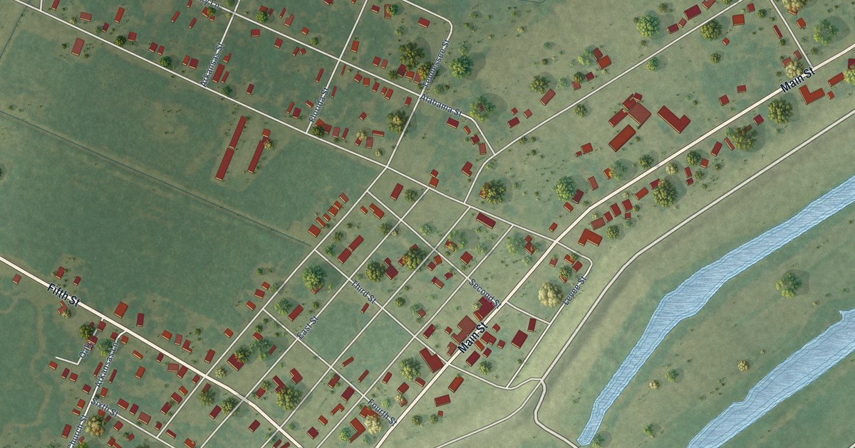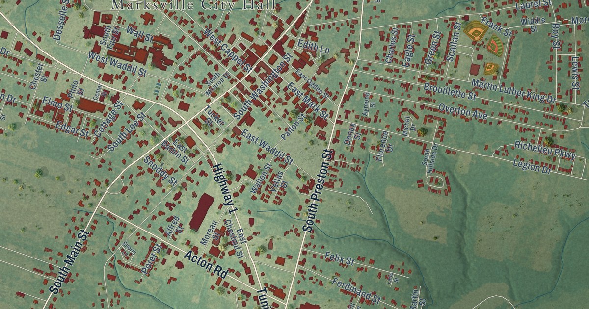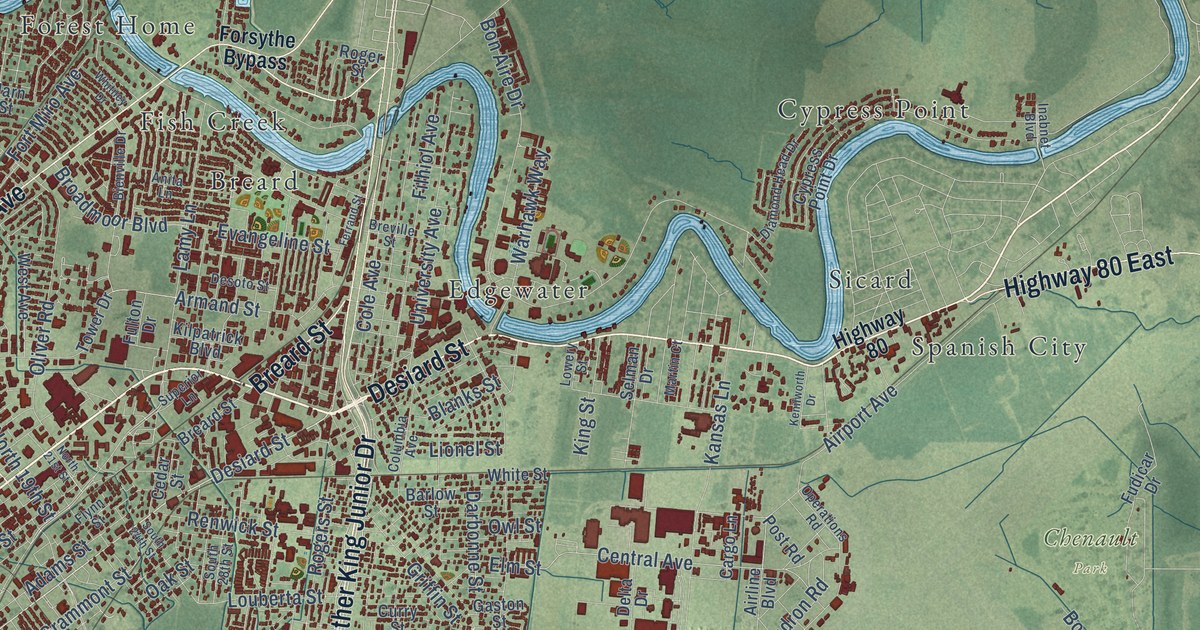
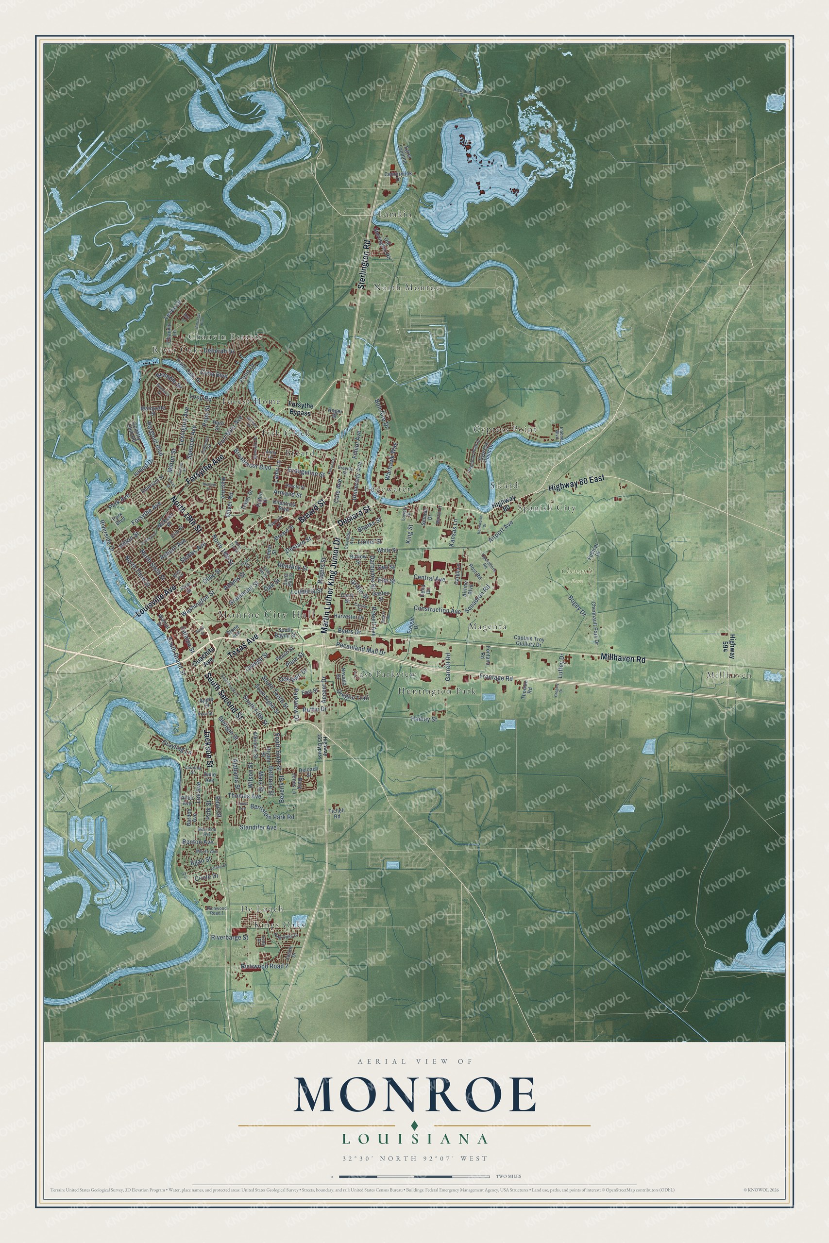
This beautifully detailed map of Monroe, Louisiana was created in 2026 using aerial imagery combined with modern topographical, census, street and landmark data. It's a modern aerial view of Monroe in Ouachita Parish, Louisiana, that combines modern data with a vintage aesthetic. The roads feature printed names, and if you look closely you can find your exact house accurately shown in its correct location.
Explore an aerial view of Monroe, Louisiana
On this map you'll find Monroe City Hall, Millhaven, Chenault Park, Breard, Chauvin Estates, Cypress Point, De Loach, East Parkview, Edgewater, Fish Creek, Forest Home, Huntington Park, and more. Each red shape is a building, so zoom in on the preview and look for yours.
Every town has a first chapter, and Monroe is no exception. The Internet Archive puts it this way: "The city commands in every direction a tributary territory 75 miles in extent and as a result of its natural advantages its development along commercial and industrial lines has been rapid, ilonroe was first known as Port Miro and was settled by Don Juan Filhiol (q. x.)."
Monroe is a city in Ouachita Parish. The Census Bureau counted 47,702 people here in 2020.
Take a closer look at the Monroe map
Names on this map
These names are printed on this map.
Places: Monroe City Hall, Millhaven, Chenault Park, Breard, Chauvin Estates, Cypress Point, De Loach, East Parkview, Edgewater, Fish Creek, Forest Home, Huntington Park, Kings Oaks, Lamkin, Magenta, North Monroe, River Oaks, Sicard and Spanish City.
Streets and roads: Millhaven Road, Louisville Avenue, Desiard Street, South Second Street, Texas Avenue, Martin Luther King Junior Drive, Jackson Street, North 18th Street, Sterlington Road, Forsythe Avenue, Highway 80 East, Breard Street.
More street names, A to Z
Accent Drive, Adams Street, Airline Boulevard, Airport Avenue, Alabama Street, Allen Avenue, Anita Lane, Apple Street, Armand Street, Atkinson Street, Auburn Avenue, Ava Lane, Barbados Boulevard, Barlow Street, Benton Avenue, Bernstein Park Road, Bethune Street, Beverly Street, Bienville Drive, Blanks Street, Bogey Drive, Bon Aire Drive, Booker Street, Bramble Drive, Bres Avenue, Breville Street, Broadmoor Boulevard, Bryant Street, Burg Jones Lane, Byers Drive, Captain Troy Guillory Drive, Cargo Lane, Carolina Street, Carver Street, Catalpa Street, Cedar Street, Central Avenue, Centurylink Drive, Chauvin Lane, Chennault Park Drive, Circle Drive, Cole Avenue, Columbia Avenue, Construction Avenue, Country Club Road, Cuba Boulevard, Curry Street, Cypress Point Drive, Darbonne Street, Deborah Drive, Deloach Street, Delta Drive, Desoto Street, Diamond Head Drive, Dixie Avenue, Downey Lane, East Street, Egan Street, Egret Landing, Elm Street, Emerson Street, Erin Street, Essex Street, Evangeline Street, Ferrand Street, Filhiol Avenue, Flynn Street, Fontana Road, Forsythe Bypass, Fort Miro Avenue, Frances Place, Freight Drive, Frontage Road, Fudicar Drive, Fulton Drive, Garrett Road, Gaston Street, Georgia Street, Gordon Avenue, Grammont Street, Grayling Lane, Gregory Drive, Griffin Street, Hadley Street, Harn Street, Harvester Drive, Highway 80, Highway 165 Bypass, Highway 594, Hilton Street, Inabnet Boulevard, Island Drive, Ivy Place, Jason Drive, Kansas Lane, Kenilworth Drive, Kilpatrick Boulevard, King Oaks Drive, King Street, Lamy Lane, Lee Avenue, Levee Drive, Lexington Avenue, Lidell Avenue, Lionel Street, Long Drive, Loop Road, Louberta Street, Lowery Street, Luffey Drive, Marquette Street, Martin Court, Marx Street, McKeen Place, Milton Street, Moore Avenue, Morrison Avenue, Nevada Drive, North 19th Street, North 21st Street, North Sixth Street, North Third Street, Oaklawn Drive, Oakmont Street, Oak Street, Old Sterlington Road, Oliver Road, Olive Street, Operations Road, Orange Street, Oregon Trail, Ouachita Avenue, Owl Street, Pargoud Boulevard, Park Avenue, Park Boulevard, Parkview Drive, Peach Street, Pearl Street, Pear Street, Pecanland Mall Drive, Pinehurst Drive, Pine Street, Plum Street, Point Drive, Polk Street, Pope Street, Post Road, Powell Avenue, Renwick Street, Richard Drive, Richland Place, Richwood Road 1, Richwood Road 2, Riverbarge Street, River Oaks Drive, Riverside Drive, Rogers Street, Roger Street, Ruffin Drive, Selman Drive, South 24th Street, South 28th Street, South Bayou Street, South Eighth Street, South Fifth Street, South Fourth Street, South Grand Street, South Sixth Street, South Tenth Street, Spencer Avenue, Squadron Road, Standifer Avenue, Stone Avenue, Stubbs Avenue, Superior Lane, Thomas Avenue, Thomco Road, Ticheli Road, Tower Drive, University Avenue, Vernon Street, Walnut Street, Warhawk Way, Washington Street, West Avenue, White Street, Whitney Drive, Wilson Street, Wood Street.
Created by KNOWOL in 2026. The buildings are small red shapes, the roads carry their printed names, and shaded relief shows the shape of the land. The title panel reads "AERIAL VIEW OF MONROE LOUISIANA" with 32°30' NORTH 92°07' WEST.
Hang it in the hallway, the office or the cabin, or give it to someone who left Monroe and still calls it home. Open the preview and look for a street you know. See sizes and frames for the Monroe map.