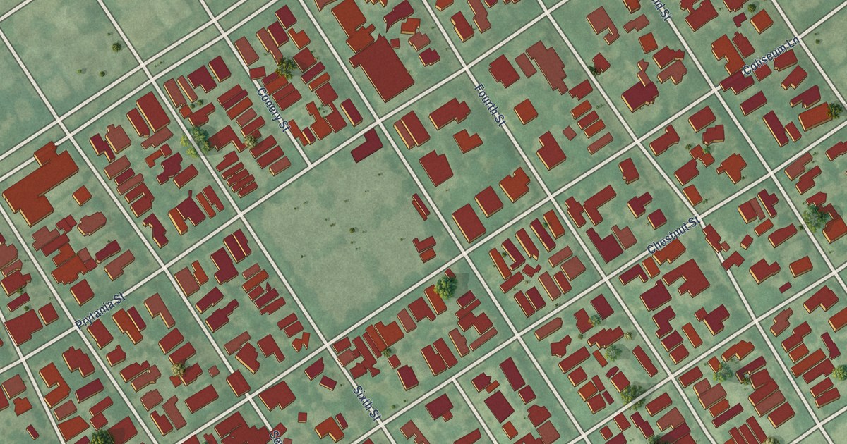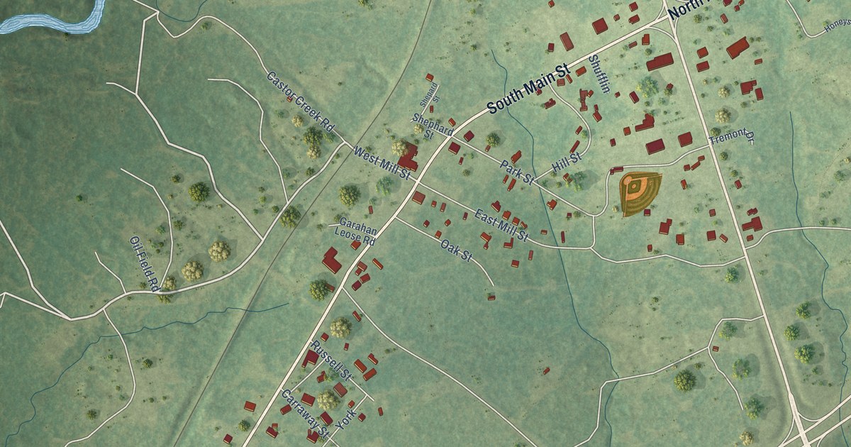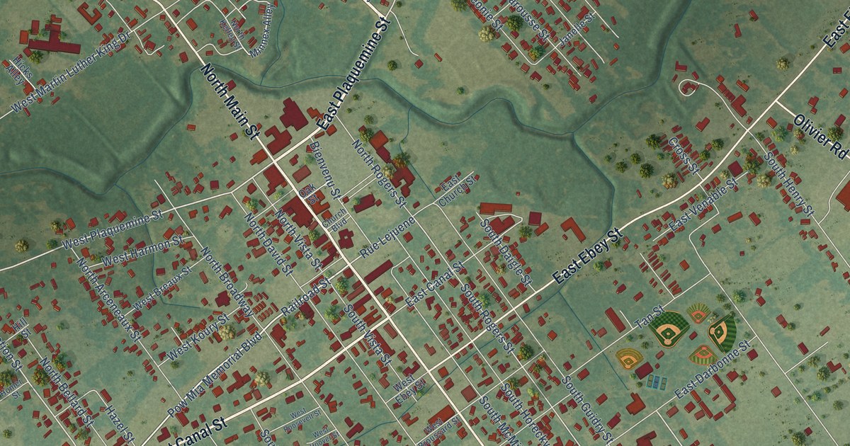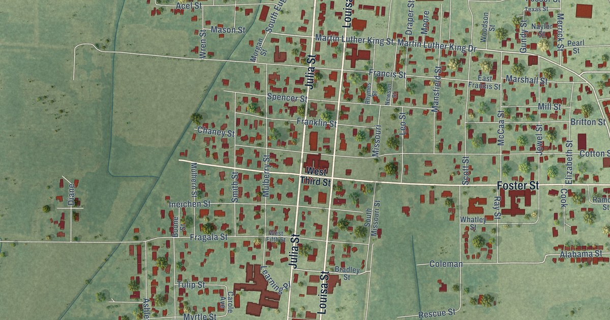
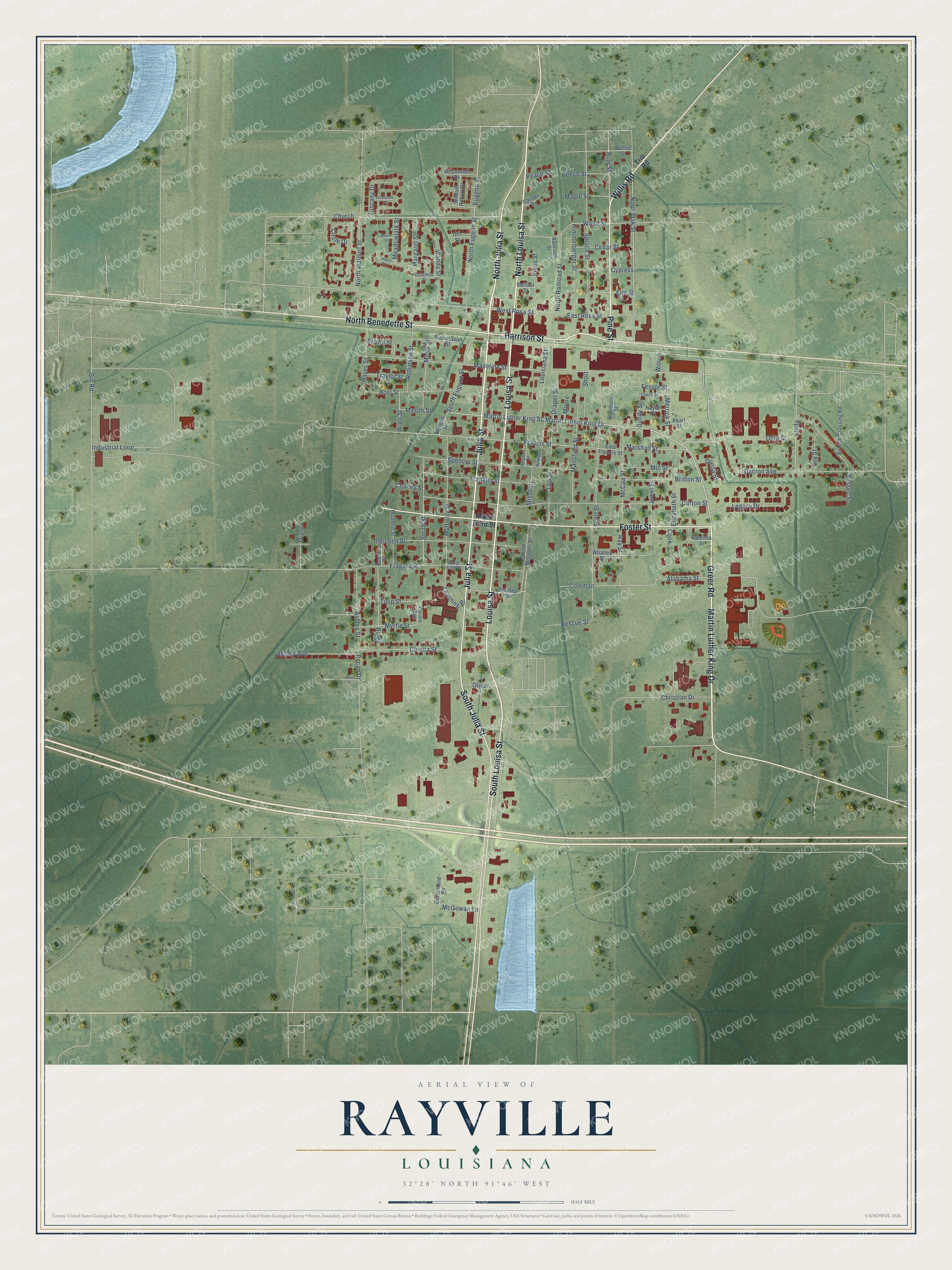
This beautifully detailed map of Rayville, Louisiana was created in 2026 using aerial imagery combined with modern topographical, census, street and landmark data. It's a modern aerial view of Rayville in Richland Parish, Louisiana, that combines modern data with a vintage aesthetic. The roads feature printed names, and if you look closely you can find your exact house accurately shown in its correct location.
Explore an aerial view of Rayville, Louisiana
On this map you'll find North Julia Street, Julia Street, Martin Luther King Drive, North Louisa Street, Louisa Street, Willis Road, North Benedette Street, Harrison Street, Greer Road, Foster Street, South Julia Street, Pine Street, and more. Each red shape is a building, so zoom in on the preview and look for yours.
Rayville is a town in Richland Parish. The Census Bureau counted 3,347 people here in 2020. The map prints the town name in its title panel, with the coordinates below it.
Take a closer look at the Rayville map
Names on this map
These names are printed on this map.
Streets and roads: North Julia Street, Julia Street, Martin Luther King Drive, North Louisa Street, Louisa Street, Willis Road, North Benedette Street, Harrison Street, Greer Road, Foster Street, South Julia Street, Pine Street.
More street names, A to Z
Acel Street, Alabama Street, Ashley Avenue, Ashley Street, Balfour Street, Beech Street, Boles, Boone Street, Bradley Street, Branch Crossing Road, Britton Street, Brown Street, Carole Avenue, Carson Drive, Cedar Street, Chaney Street, Christian Drive, Church, Circle Drive, Coleman, Cook, Cottonland Road, Cotton Street, Cypress, Dacron Avenue, Diane, Dill Street, Donna Street, Draper Street, East Francis Street, East Rosa Street, Elizabeth Street, Elm Street, Eugene Street, Fessor Street, Fragala Street, Francis Street, Franklin Street, Gin Road, Glenda Street, Gundy Street, Hayes Street, Himmelberger Street, Industrial Loop, Ineichen Street, Jewel Street, Jones Street, Learning Place, Legacy Drive, Leo Street, Linda, Louisiana Street, Loy Street, Madeline Street, Mansfield Street, Maple Street, Margaret Street, Marshall Street, Martin Luther King Street, Mason Street, McCaa Street, McConnell Drive, McGowan Lane, Meadowlark Street, Merrick Street, Mill Street, Minor Street, Missouri, Moore, Morgan Street, Mulberry Street, Mulhern Street, Myrtle Street, Naylor Street, Nell Street, Newson Street, North Eugene Street, North Oak Street, North Railroad Street, North Waldorf Street, Oliver, Ollie Street, Ouachita Street, Peach Street, Pearl Street, Pecan Drive, Quail Street, Railroad Street, Ramona Street, Ray Street, Rescue Street, Rhymes Street, Richardson Street, Robinson Street, Robin Street, Russell Street, Scott Street, Short, Smith Street, South Eugene Street, South Louisa Street, South Missouri Street, Spencer Street, Spruce Street, Texas Street, Traylor Street, Trio Road, Tulip Street, Tuscany Drive, Vineyard Lane, Walnut Street, Wanda Street, West Fifth Street, West Rosa Street, West Third Street, Whatley Street, William Robert Drive, Wilson, Woodson Street, Wood Street, Wren Street.
Created by KNOWOL in 2026. The buildings are small red shapes, the roads carry their printed names, and shaded relief shows the shape of the land. The title panel reads "AERIAL VIEW OF RAYVILLE LOUISIANA" with 32°28' NORTH 91°46' WEST.
Hang it in the hallway, the office or the cabin, or give it to someone who left Rayville and still calls it home. Open the preview and look for a street you know. See sizes and frames for the Rayville map.