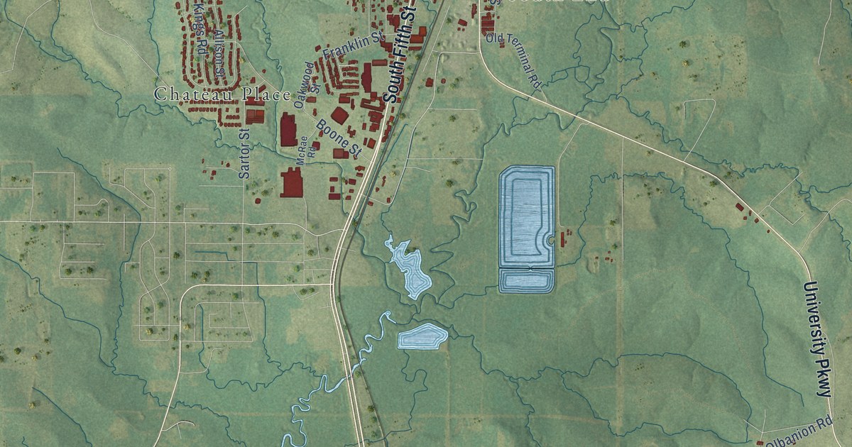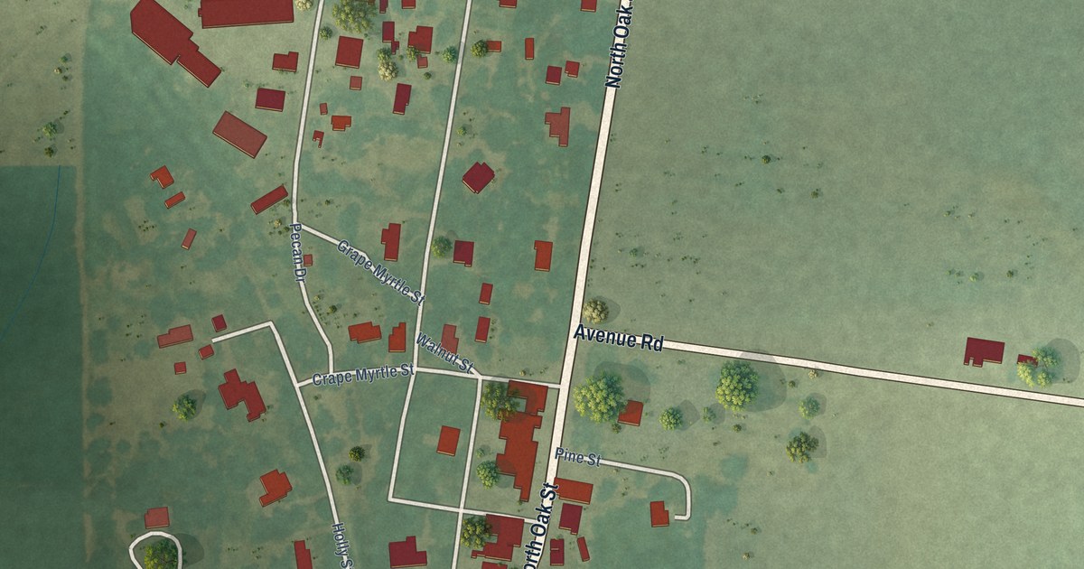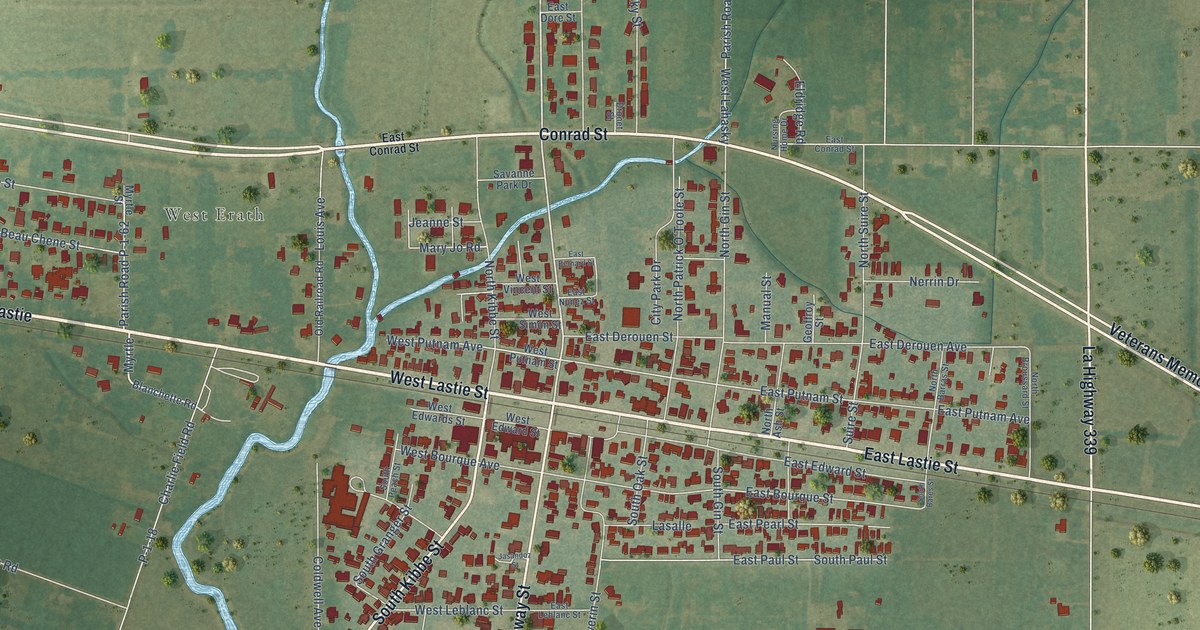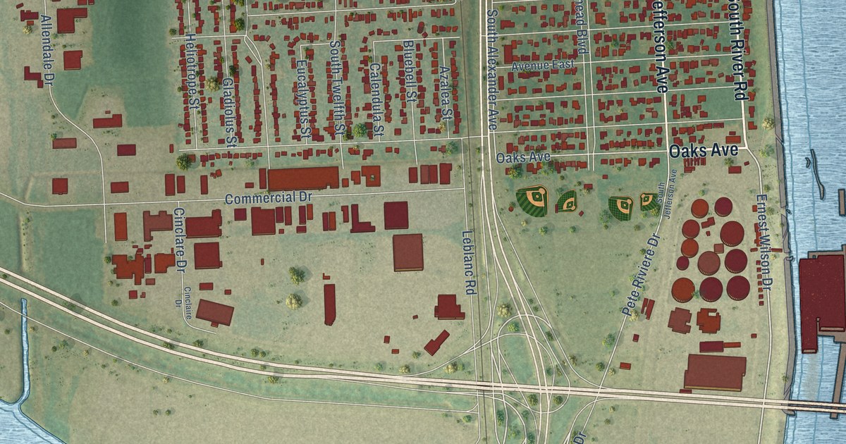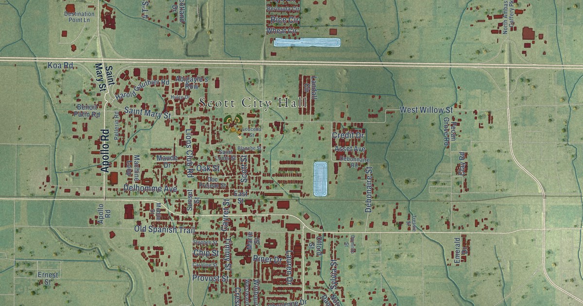
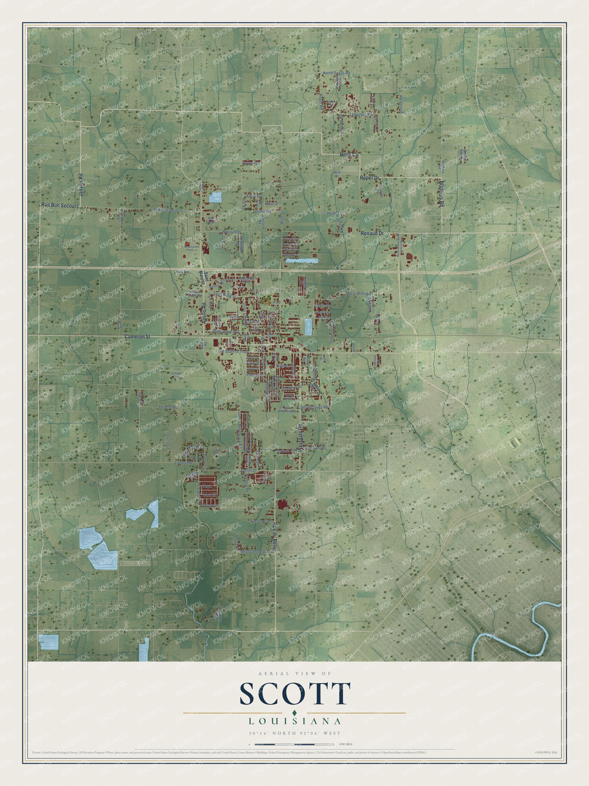
This beautifully detailed map of Scott, Louisiana was created in 2026 using aerial imagery combined with modern topographical, census, street and landmark data. It's a modern aerial view of Scott in Lafayette Parish, Louisiana, that combines modern data with a vintage aesthetic. The roads feature printed names, and if you look closely you can find your exact house accurately shown in its correct location.
Explore an aerial view of Scott, Louisiana
On this map you'll find Scott City Hall, Roper Drive, Rue du Belier, Renaud Drive, Heidi Circle, Rue Bon Secours, Janvier Road, Brothers Road, Apollo Road, Cameron Street, Westgate Road, Saint Mary Street, and more. Each red shape is a building, so zoom in on the preview and look for yours.
Here is a piece of Scott history, in the words of the record. The National Park Service puts it this way: "The downtown area is separated in half by the railroad tracks that created Scott."
Scott is a city in Lafayette Parish. The Census Bureau counted 8,119 people here in 2020.
Take a closer look at the Scott map
Names on this map
These names are printed on this map.
Places: Scott City Hall.
Streets and roads: Roper Drive, Rue du Belier, Renaud Drive, Heidi Circle, Rue Bon Secours, Janvier Road, Brothers Road, Apollo Road, Cameron Street, Westgate Road, Saint Mary Street, Pitt Road.
More street names, A to Z
4 T'S Lane, Abigayle's Row, Andres Road, Angler Drive, Asset Avenue, Benoit Patin Road, Bermuda Circle, Blanche Street, Blazer Drive, Blazer Road, Canyon Ridge Road, Caroline Street, Cayret Street, Cheyenne Drive, Chip Street, Clay Road, Crane Drive, Credit Drive, Creswell Avenue, Dale Street, Debonaire Street, Debonnaire Road, Delhomme Avenue, Des Jacques Road, Destination Point Lane, Doan Drive, Doc Prejean Street, Domisto Street, Dulles Drive, Eagle Drive, Earline Drive, East Street, El Greco Drive, Elmira Drive, Emerald Drive, Ernest Street, Fenetre Road, Fenway Drive, Fremont Drive, Gateau Road, Hancock Road, Harold Gauthier Road, Harvest Pointe Circle, Heide Circle, Henning Road, Herbert Road, Hulco Drive, Ile Des Cannes Road, Ivory Street, James Boudreaux Road, Jerome Road, Koa Road, Kossuth Road, Landall Circle, Landry Road, Lauren Drive, Lebesque Road, Le Violon Road, Lions Club Road, Lloyd Road, Loucella Street, Machine Loop, Marie Street, Maude Drive, Mills Street, Mire Street, Mobile Street, Mustang Street, North Ambassador Caffery Parkway, North Dugas Road, Notre Dame Drive, Oak Street, Octavia Drive, Offord Street, Old Spanish Trail, Ole Colony Road, Olympic Drive, Onyx, Oregon Trail, Paul Boudreaux Road, Pecan Grove Road, Pellerin Road, Percy Road, Perry Lane, Provost Street, Rice Circle, Rich Street, Riner Drive, Roger Road, Rue de Belier, Rue Des Amis, Rue Portail, Rue Septembre, Rye Circle, Saint Louis Street, Scotland Drive, Scott Street, Shantel Road, Shelby Oaks Lane, Sheridan Drive, Stephen Street, Sunset Street, Sylvia Street, Tabb Road, Thrasher Drive, Timmy Street, Tressie Street, Ulinor Road, West Congress Street, Westward Avenue, West Willow Street, Wheat Circle, Winbourne Avenue, Zoie Drive.
Created by KNOWOL in 2026. The buildings are small red shapes, the roads carry their printed names, and shaded relief shows the shape of the land. The title panel reads "AERIAL VIEW OF SCOTT LOUISIANA" with 30°14' NORTH 92°06' WEST.
It suits a den, a classroom or a front hall, and it makes a gift for anyone with Scott roots. Open the preview and find the block you know. See sizes and frames for the Scott map.