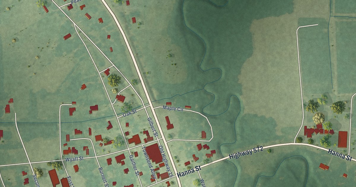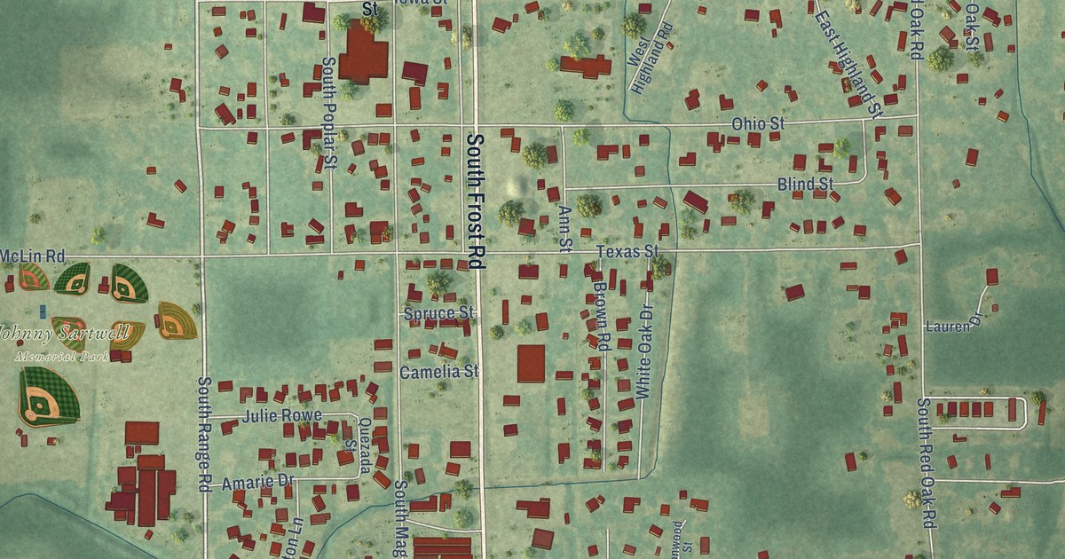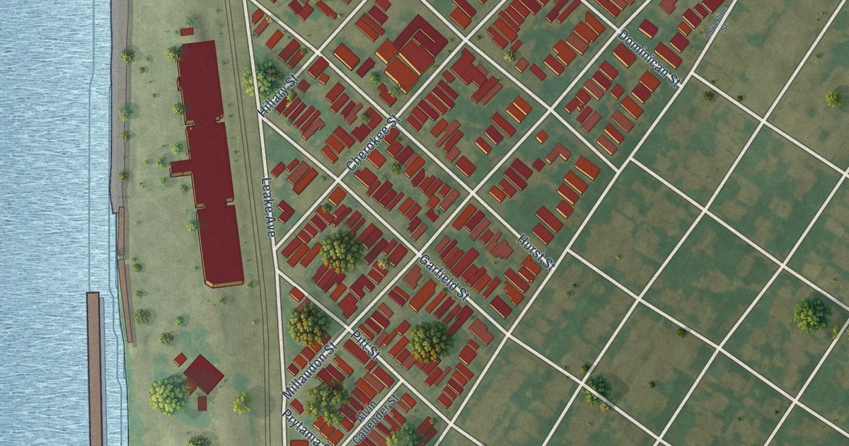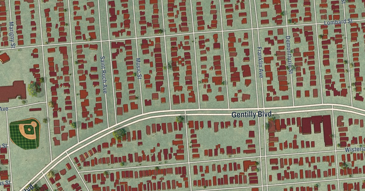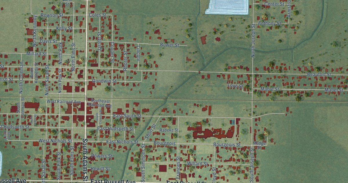
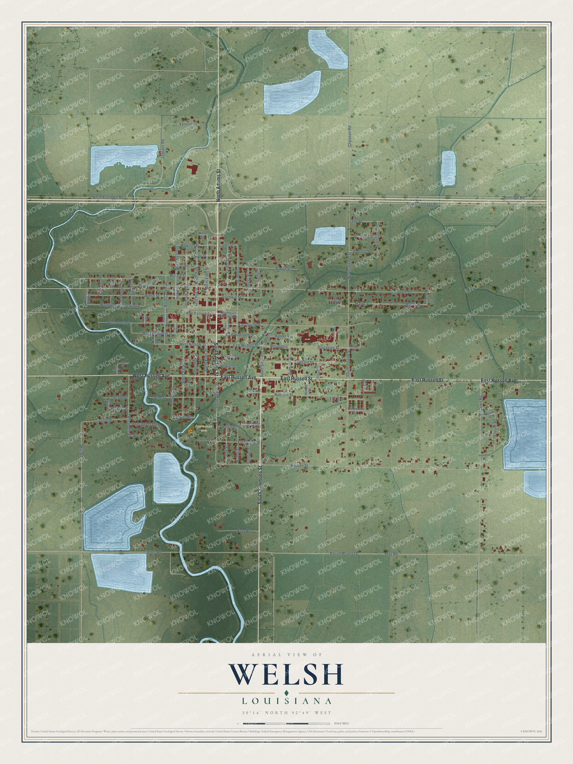
This beautifully detailed map of Welsh, Louisiana was created in 2026 using aerial imagery combined with modern topographical, census, street and landmark data. It's a modern aerial view of Welsh in Jefferson Davis Parish, Louisiana, that combines modern data with a vintage aesthetic. The roads feature printed names, and if you look closely you can find your exact house accurately shown in its correct location.
Explore an aerial view of Welsh, Louisiana
On this map you'll find Sportsman Park, North Adams Street, South Adams Street, East Russell Avenue, South Simmons Street, East Russell Street, West Russell Avenue, North Polk, East Nichols Street, North Elms Street, West Nichols Street, South Polk Street, and more. Each red shape is a building, so zoom in on the preview and look for yours.
Here is a piece of Welsh history, in the words of the record. The National Park Service puts it this way: "Towns sprang up along the railroad in the 1880s, with Welsh being platted in 1884. Almost all of its early settlers were from northern and midwestern states, lured there undoubtedly by the immigration arm of the Southern Pacific and by relatives already in the area."
Welsh is a town in Jefferson Davis Parish. The Census Bureau counted 3,333 people here in 2020.
Take a closer look at the Welsh map
Names on this map
These names are printed on this map.
Places: Sportsman Park.
Streets and roads: North Adams Street, South Adams Street, East Russell Avenue, South Simmons Street, East Russell Street, West Russell Avenue, North Polk, East Nichols Street, North Elms Street, West Nichols Street, South Polk Street, South Elms Street.
More street names, A to Z
Abell Road, Anthony Street, Armstrong Street, Arthur Street, Beaufort Street, Benoit Street, Bourgeois, Bourgeois Street, Bower Street, Center Street, Chaisson Road, Coles Street, Cooper Street, Dautel Street, Davis Street, Day Street, Derouen Street, East Grove Street, East Hudspeth Street, Eastridge Street, East South Street, Elizabeth Street, Florine Road, Florine Street, Floyd Street, Frances Street, Frank Street, Frey Road, Frontage Road, Goodwin Street, Harris Street, Hawthorne Street, Hewitt Street, Hill Road, Jake Lane, Jane Street, Jarrett Street, Kelly Street, Keys Road, Leblanc Road, Lincoln, Louviere Street, Love Street, Mabel Street, Mable Street, Madge Street, Martin Street, McCown Road, Millard Street, Naebers Street, Noel Lane, North Carter Street, North Coleman, North Fourth, North Frontage Road, North Joseph Street, North Kennedy, North Kennedy Street, North Polk Street, North Sarah Street, North Street, North Third, Northwest Railroad Avenue, Oak Street, Parish Road 628, Pecan Acres Trailer Park Road, Pine Street, Plank Road, Powers Street, Providence Road, Prudhomme Street, Radeke Street, Rhorer Street, Rice Street, Richard Street, Ronald Street, Rowland Street, Rowson Street, Second, Short Street, Sonnier Street, South Coleman Street, South Crowley Street, Southeast Railroad Avenue, South Frontage Road, South Joseph Street, South Kennedy, South King Street, South Littell, South Sarah Street, Vanicor Street, Welsh Street, West Grove Street, West Hudspeth Street, West Railroad Avenue, West South Street, West Street, Willard Street, Willowood Circle.
Created by KNOWOL in 2026. The buildings are small red shapes, the roads carry their printed names, and shaded relief shows the shape of the land. The title panel reads "AERIAL VIEW OF WELSH LOUISIANA" with 30°14' NORTH 92°49' WEST.
It suits a den, a classroom or a front hall, and it makes a gift for anyone with Welsh roots. Open the preview and find the block you know. See sizes and frames for the Welsh map.