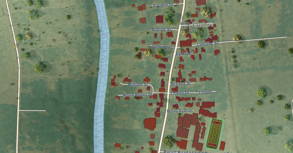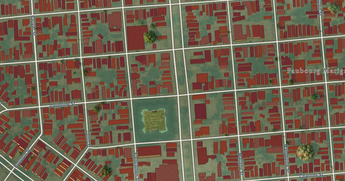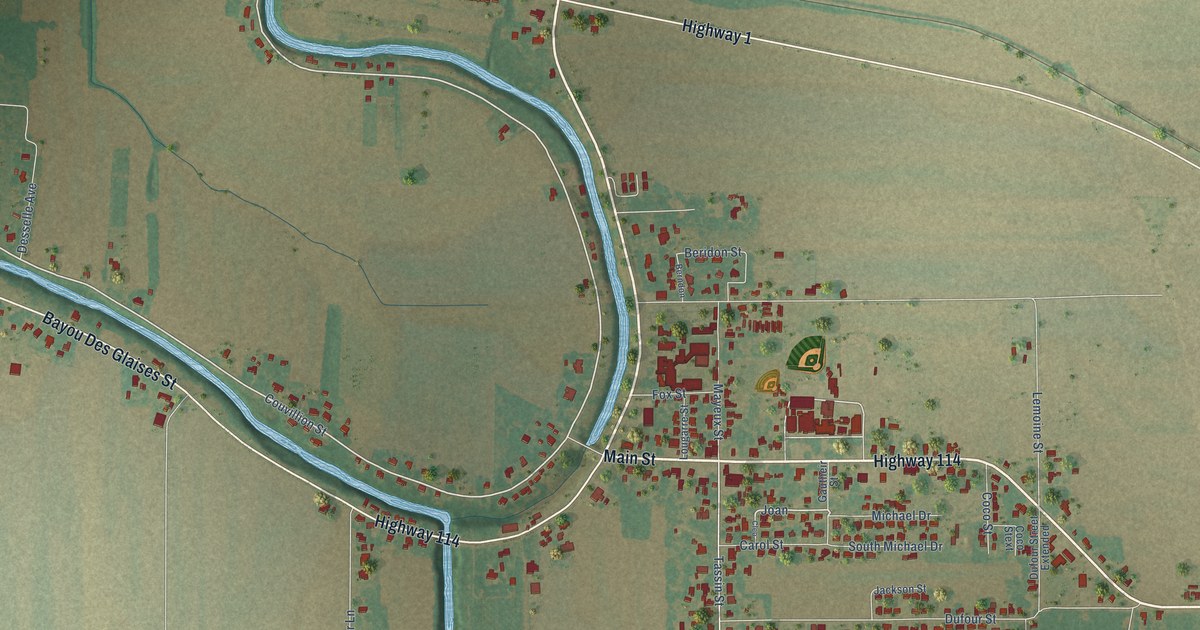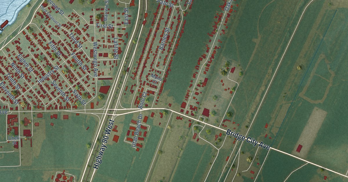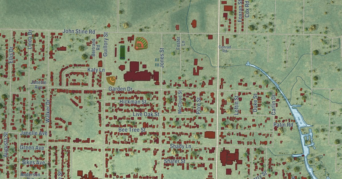
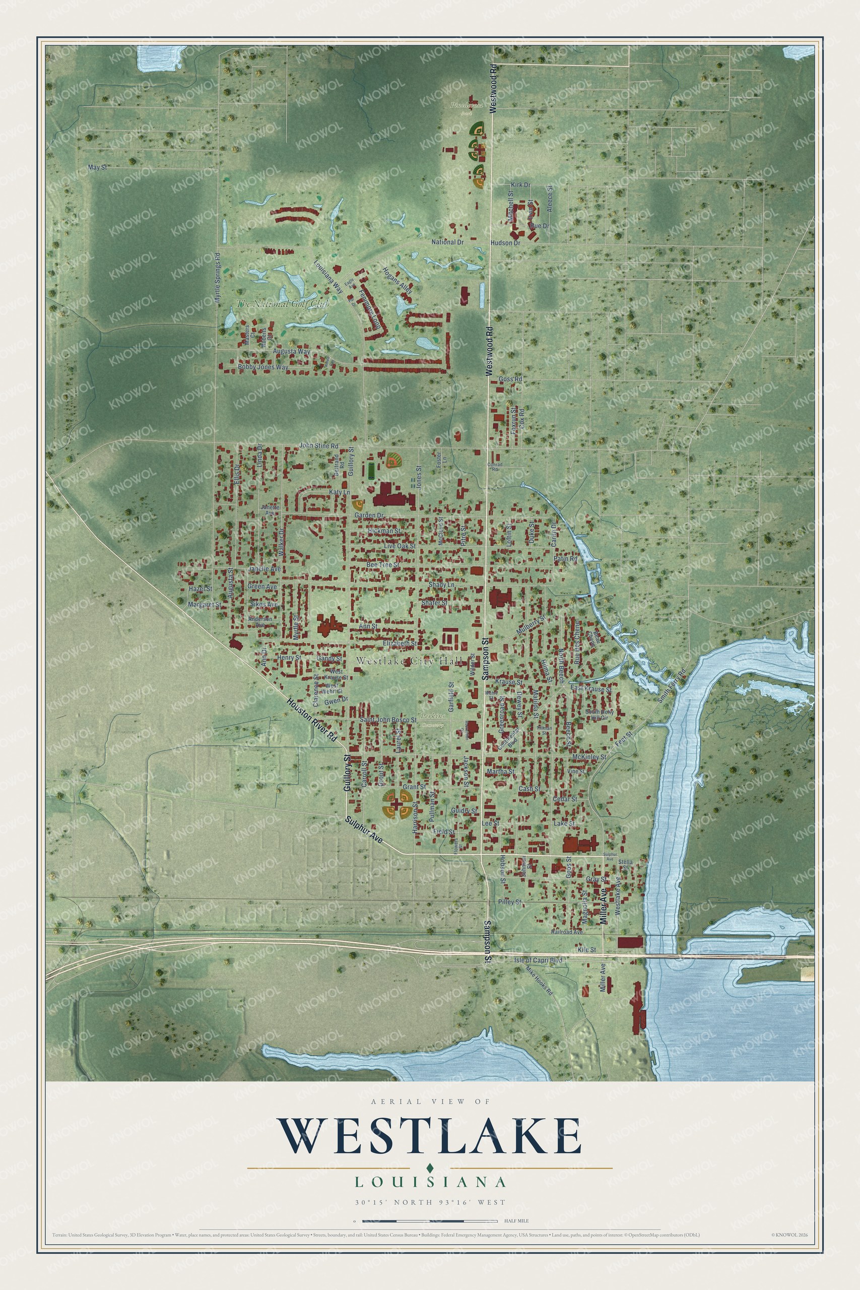
This beautifully detailed map of Westlake, Louisiana was created in 2026 using aerial imagery combined with modern topographical, census, street and landmark data. It's a modern aerial view of Westlake in Calcasieu Parish, Louisiana, that combines modern data with a vintage aesthetic. The roads feature printed names, and if you look closely you can find your exact house accurately shown in its correct location.
Explore an aerial view of Westlake, Louisiana
On this map you'll find Westlake City Hall, Perkins Cemetery, Pinederosa Park, The National Golf Club, Sulphur Avenue, Sampson Street, Westwood Road, Guillory Street, Miller Avenue, Houston River Road, Westlake Avenue, Isle of Capri Boulevard, and more. Each red shape is a building, so zoom in on the preview and look for yours.
Westlake is a city in Calcasieu Parish. The Census Bureau counted 4,781 people here in 2020. The map prints the town name in its title panel, with the coordinates below it.
Take a closer look at the Westlake map
Names on this map
These names are printed on this map.
Places: Westlake City Hall, Perkins Cemetery, Pinederosa Park and The National Golf Club.
Streets and roads: Sulphur Avenue, Sampson Street, Westwood Road, Guillory Street, Miller Avenue, Houston River Road, Westlake Avenue, Isle of Capri Boulevard, East Krause Street, Bobby Jones Way, Carlin Drive, Hudson Drive.
More street names, A to Z
Aleece Street, Amen Cor, Anderson Avenue, Ann Drive, Ann Street, Augusta Street, Augusta Way, Beau Chene, Beech Street, Bee Tree Street, Bertrand Road, Carroll Street, Cash Street, Cedar Street, Clarence Street, Conrad Road, Continental Boulevard, Cox Road, Dewey Street, Duke Street, Eagle Avenue, Elizabeth Street, Ellis Drive, Feet Street, Fenimore Loop, Field Street, Flowers Street, Foster Lane, Foxrun Street, Gandy Street, Garden Drive, Garfield Street, Goos Street, Goss Road, Grant Street, Gray Street, Green Avenue, Greenroad Street, Grout Street, Guidry Street, Gwen Drive, Harrison Street, Hazel Street, Henry Street, Hickman Street, Hilma Street, Hobson Street, Hogans Alley, Irvin Street, Jackson Street, Janelle Avenue, Janette Avenue, Johnson Street, John Stine Road, Jones Street, Katy Lane, Kile Street, Kirk Drive, Krause Street, Lake Street, Laurel Street, Lee Street, Linda Drive, Live Oak Street, Loftin Street, Louisiana Way, Magnolia Street, Margaret Street, Martha Street, Masters Court, Matilda Street, May Street, McCloud Street, McKinley Street, Mike Hooks Road, Mitchell Street, Mulberry Street, Myrtle Springs Road, Myrtle Street, National Drive, North Beech, Par Drive, Patin Road, Pilley Street, Pitre Street, Pullman Street, Railroad Avenue, Recreation Circle, Roberts Court, Rue Des Chene, Rue Drive, Saint John Bosco Street, Shady Lane, Shafer Street, Sikes Avenue, Smith Ferry Road, South Holly Hill Circle, Stella Street, Tillman Street, Vine Street, Walker Drive, Wehrt Street, West Krause Street, West Wehrt Street, Wilder Street.
Created by KNOWOL in 2026. The buildings are small red shapes, the roads carry their printed names, and shaded relief shows the shape of the land. The title panel reads "AERIAL VIEW OF WESTLAKE LOUISIANA" with 30°15' NORTH 93°16' WEST.
It looks right in a kitchen, an office or a den, and it's a gift for anyone who grew up in Westlake or moved away. Open the preview and find your street. See sizes and frames for the Westlake map.