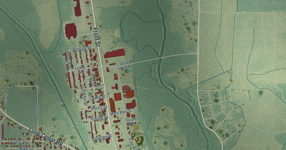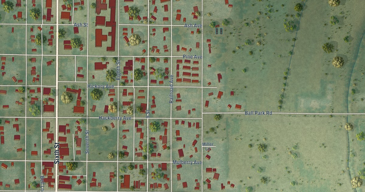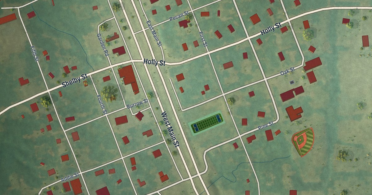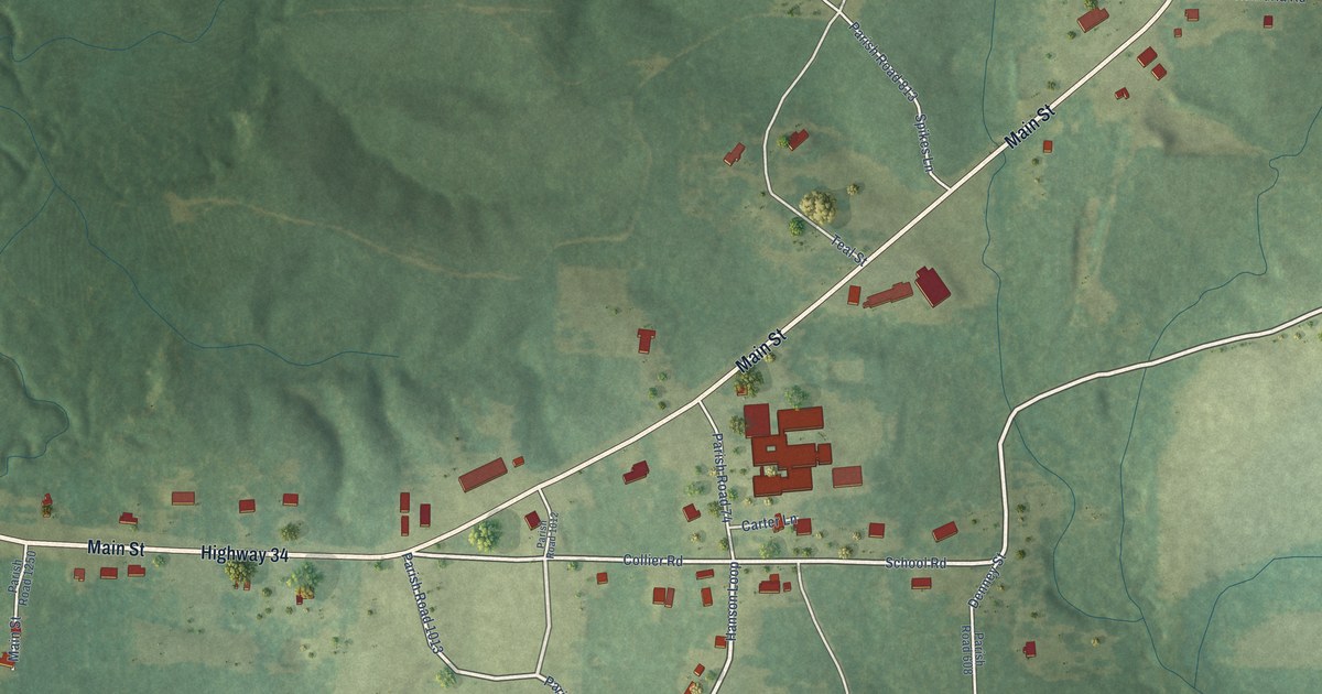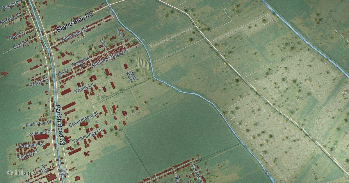
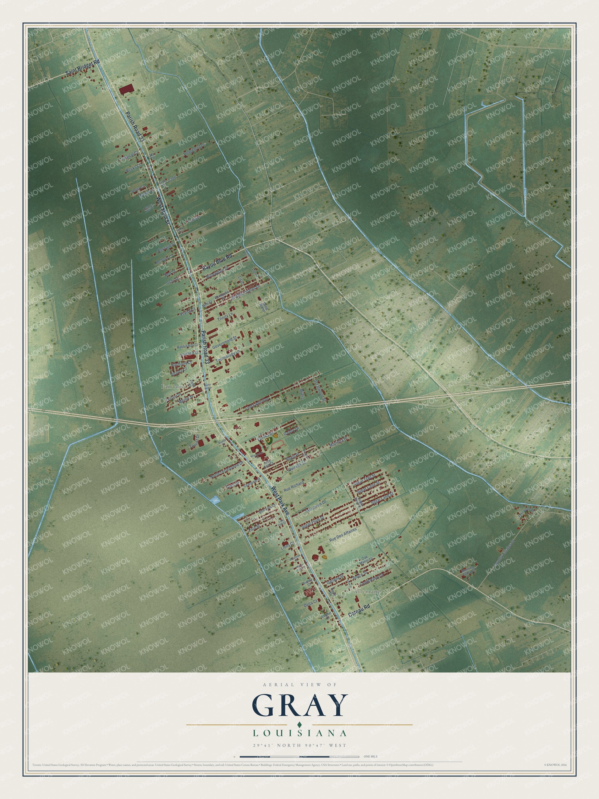
This beautifully detailed map of Gray, Louisiana was created in 2026 using aerial imagery combined with modern topographical, census, street and landmark data. It's a modern aerial view of Gray in Terrebonne Parish, Louisiana, that combines modern data with a vintage aesthetic. The roads feature printed names, and if you look closely you can find your exact house accurately shown in its correct location.
Explore an aerial view of Gray, Louisiana
On this map you'll find Allemand, Fairlane, Lazy Acres, West Main Street, Bayou Blue Road, Parish Road 33, West Park Avenue, Coteau Road, Saint Bridget Road, Quinton Court, North Terrebonne Drive, Linda Ann Avenue, and more. Each red shape is a building, so zoom in on the preview and look for yours.
Every town has a first chapter, and Gray is no exception. The Century Historical Association puts it this way: "Gray, a post-hamlet of Terrebonne parish, is situated near the northern boundary on Bayou du Chien, about 2 miles east of Rebecca, the nearest railroad station, and 8 miles northwest of Houma, the parish seat."
Gray is a community in Terrebonne Parish. The Census Bureau counted 5,518 people here in 2020.
Take a closer look at the Gray map
Names on this map
These names are printed on this map.
Places: Allemand, Fairlane and Lazy Acres.
Streets and roads: West Main Street, Bayou Blue Road, Parish Road 33, West Park Avenue, Coteau Road, Saint Bridget Road, Quinton Court, North Terrebonne Drive, Linda Ann Avenue, Country Estates Drive, Sugar Plum Street, Sugar Land Street.
More street names, A to Z
Alcee Street, Becks Court, Bernard Street, Bianca Court, Bon Villa Court, Brianna Jolie Court, Briarfield Court, Brown Court, Casa Drive, Champion Street, Charlotte Street, Countyrboy Court, Cree, Cree Court, Darlene Street, Deep Water, Delta Court, Doyle Street, Eureka Drive, Evergreen Drive, Fairlane Drive, Fernwood Drive, Forever, Freeman Court, Gaidry Drive, Government Street, Gray Street, Greatwood Street, Harmony Court, Hedgeford Drive, Jda Court, Judy Ann Court, Leonel Court, Lilac, Lions Court, Live Oak Court, Lola Street, Marietta Place, McGuin Court, Merlin Bridge, Merlin Street, Mini Court, Mobile Estates Drive, Monte Carla Court, Morning Glory Court, Myers, Oak Manor Court, Praise Court, Rabbit Run Court, Reba Street, Red Street, Reservation Court, Rhett Place, Roddy Court, Royce Street, Rue Des Affaires, Rue Richard, Sabrina, Savannah Drive, Sheila Court, Sugar Bend Street, Sugar Cane Street, Sugar Trail Street, Technology Lane, Thomas Street, Tiffany Court, Tourist Drive, Trinity Lane, Tropical Court, Victory Court, Willowdale Drive.
Created by KNOWOL in 2026. The buildings are small red shapes, the roads carry their printed names, and shaded relief shows the shape of the land. The title panel reads "AERIAL VIEW OF GRAY LOUISIANA" with 29°41' NORTH 90°47' WEST.
Hang it in the hallway, the office or the cabin, or give it to someone who left Gray and still calls it home. Open the preview and look for a street you know. See sizes and frames for the Gray map.