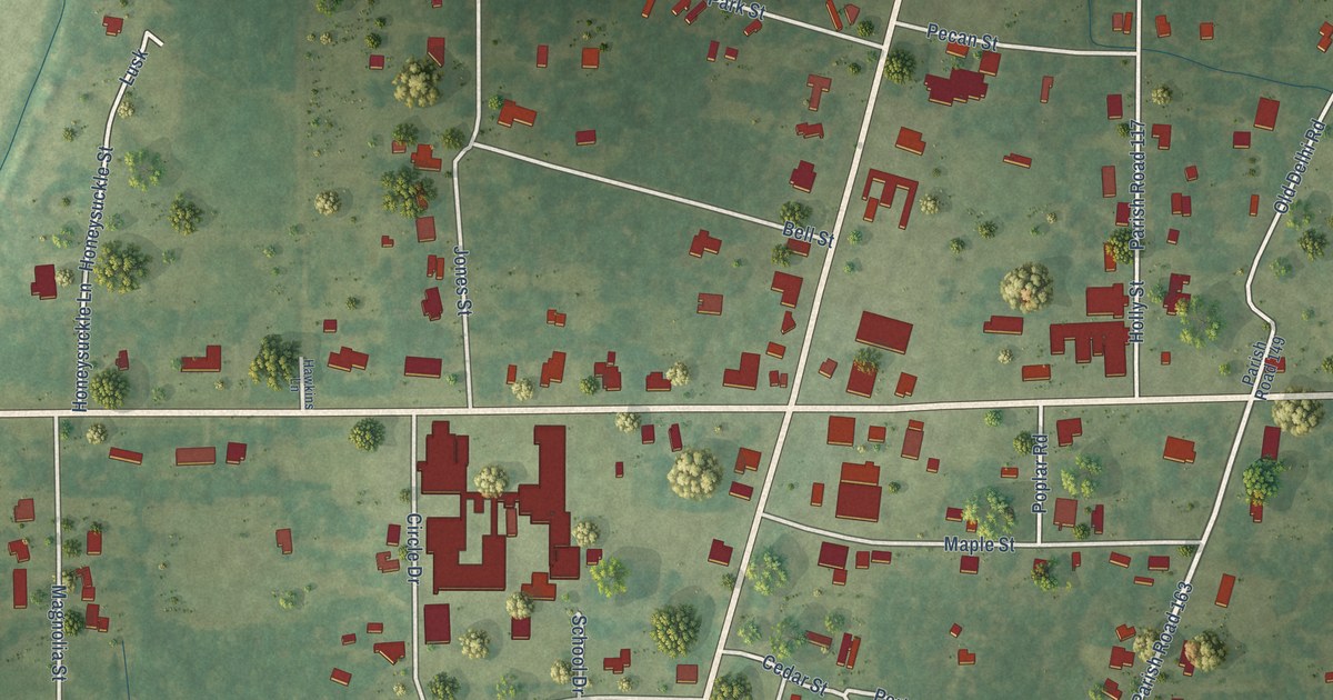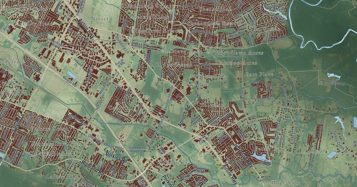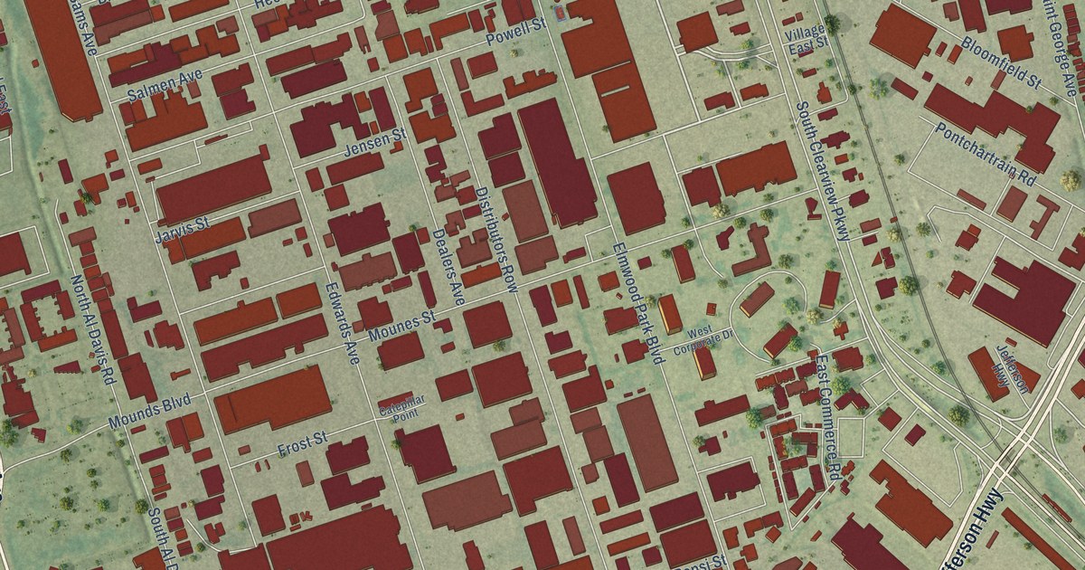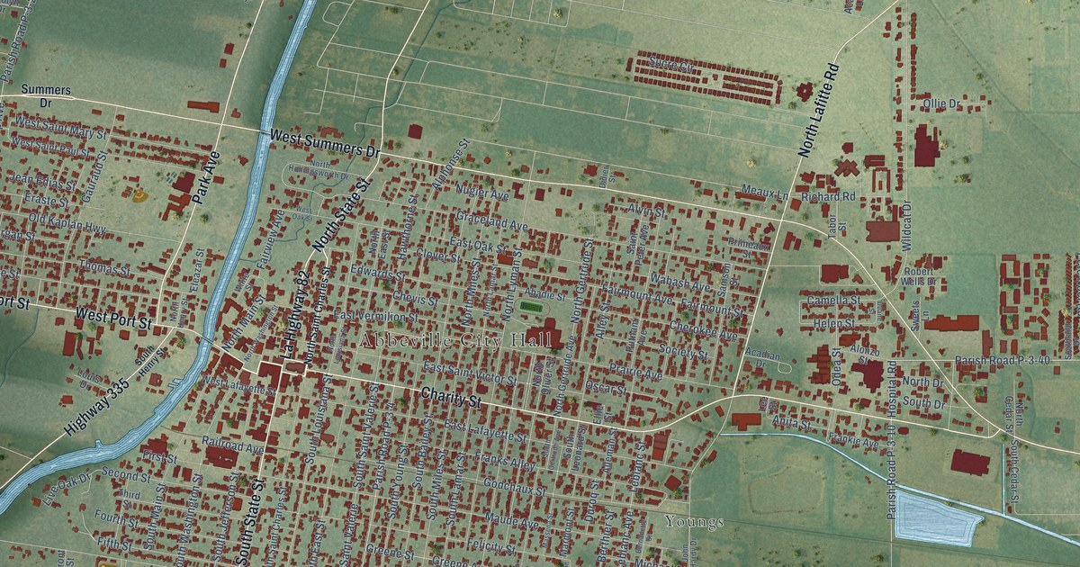
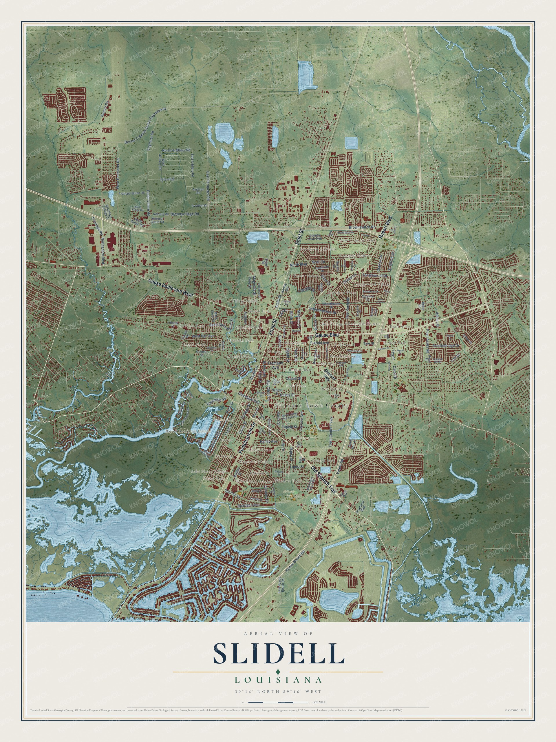
This beautifully detailed map of Slidell, Louisiana was created in 2026 using aerial imagery combined with modern topographical, census, street and landmark data. It’s a one-of-a-kind view of Slidell that combines accurate data with a vintage aesthetic. The map shows every building in its true location, many of the roads carry their names, and the shaded topographic relief shows the shape of the land.
Explore an aerial view of Slidell, Louisiana
On the map you’ll find Fremaux Town Center, Fritchie Park, Abney Estates, Amos, Audubon Place, Bayou Bonfouca Estates, Bon Village, Broadmoor, Brookwood Estates, Brugier, Carolyn Park, Castle Manor, and more. If you look closely you can even find your house accurately drawn in its correct location. Zoom in on the preview to look for yours.
Did you know this piece of Slidell, Louisiana history?
Railroad surveyors reached the first high ground north of Lake Pontchartrain in 1881. Their company bought seventy acres near Robert’s Landing and made it a construction headquarters and work camp. That’s from the City of Slidell history page.
Take a closer look at the Slidell map
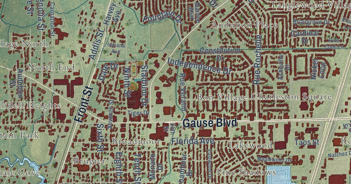
Street and place names on the Slidell, Louisiana map
These names are printed on the map of Slidell, Louisiana.
Places: Fremaux Town Center, Fritchie Park, New Country Club, Robert Park, Carolyn Park, Bayou Bonfouca Estates, Forest Manor, Pinecrest, Tanglewood Village, Brugier, Yester Oaks, Pine Shadows, Palm Lake, Brookwood Estates, Bon Village, Chamale Cove, Abney Estates, Village North, Park Place, Delwood, Eastridge, Pearl Acres, Audubon Place, Country Manor, Westchester Estates, Slidell Heights, Central Park, Charleston Square, Salmen, Broadmoor, Forest Pines, Fountainbleau, Oakwood, Fountain Park, Pine Forest, Lakewood, Magnolia Heights, Windsor Place, North End and Lake Shore Village.
Streets and roads: Gause Boulevard, Old Spanish Trail, Front Street, Gause Boulevard West, Robert Boulevard, Pontchartrain Drive, Terrace Avenue, Sixth Street, Canulette Road, Cleveland Avenue, East Perimeter Road, Doctor Tj Smith Senior Expressway.
More street names, A to Z
14th Street, Addis Street, Airport Road, Amanda Drive, Amber Street, Anna Street, Annette Drive, Asheville Drive, Audubon Street, Aviation Drive, Aviation Road, Bayou Lane, Bella Sera Lane, Berkley Street, Beth Drive, Bonfouca Drive, Breckenridge Drive, Briargrove Drive, Broadmoor Drive, Brownsvillage Road, Brownswitch Road, Bywater Drive, Camp Villere Road, Cardinal Drive, Carey Street, Carnation Street, Carol Drive, Carollo Drive, Carroll Road, Caruso Boulevard, Cawthorn Drive, Chamale Cv, Charlie Drive, Christian Lane, City Drive, Codifer Street, College Street, Constitution Drive, Country Club Boulevard, Cousin Street, Dale Drive, Daney Street, Desoto Street, Dijon Drive, Dillon Drive, East Artillery Road, East Howze Beach Road, Eastwood Drive, Eighth Street, Elissa Lane, Engineer Road, Faith Drive, Fern Street, Fifth Street, First Street, Florida Avenue, Fountain Drive, Fremaux Avenue, Frontage Road, Grafton Drive, Grantham College Drive, Guzman Street, Hailey Avenue, Harris Street, Harvey Avenue, Hoover Drive, Howze Beach Road, Huntington Drive, Igloo Road, Independence Drive, Indiana Avenue, Infantry Road, Island Drive, Jaguar Drive, Kasey Street, Liberty Drive, Loop Drive, Lopez Street, Lori Drive, Magnolia Street, Maplewood Drive, Marche Boulevard, Maris Stella Street, Martin Luther King Junior Drive, Mary Drive, McKinney Road, Monaco Drive, Natchez Drive, National Guard Road, Nickel Loop, Ninth Street, North Artillery Road, North Boulevard, North Range Road, Northshore Boulevard, Nottingham Drive, Oak Lane, Oceola Street, Orchard Hill Drive, Oriole Lane, Palm Drive, Pearl Acres Road, Pearl Street, Pine Cone Lane, Pinehurst Boulevard, Pine Street, Queens Lane, Rama Street, Rebel Drive, Rue Rochelle, Rue Verand, Saint Christopher Street, Schley Street, Scott Drive, Second Street, Seventh Street, Sgt Alfred Drive, Shortcut Highway, Slidell Avenue, South Palm Drive, South Range Road, Spartan Drive, Spartan Loop, Stadium Drive, Stone Road, Stratford Drive, Sunset Drive, Tanglewood Drive, Taos Street, Tenth Street, Tiger Drive, Town Center Parkway, Tracy Drive, Transportation Road, Tupelo Street, Tyler Street, Village Street, Voters Road, West Artillery Road, West Camellia Drive, West Hall Avenue, West Howze Beach Road, Westlawn Drive, West Perimeter Road, Yaupon Drive.
See the Slidell, Louisiana map on a wall
The Slidell map as an 18 x 24 inch print in a black frame.

This beautifully detailed map of Slidell makes an attractive addition to your office, library, or den, and it can even be used to teach children the geography and history of the area. It also makes a great gift for anyone with Slidell roots. When you’re done exploring, click here to get your copy of the Slidell map.