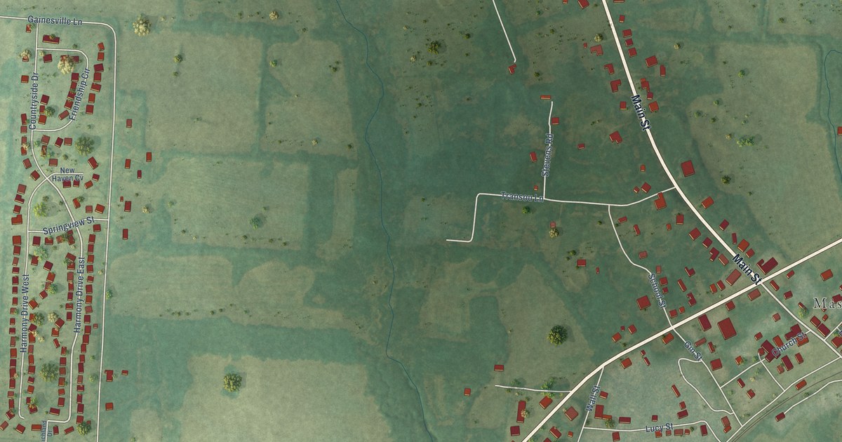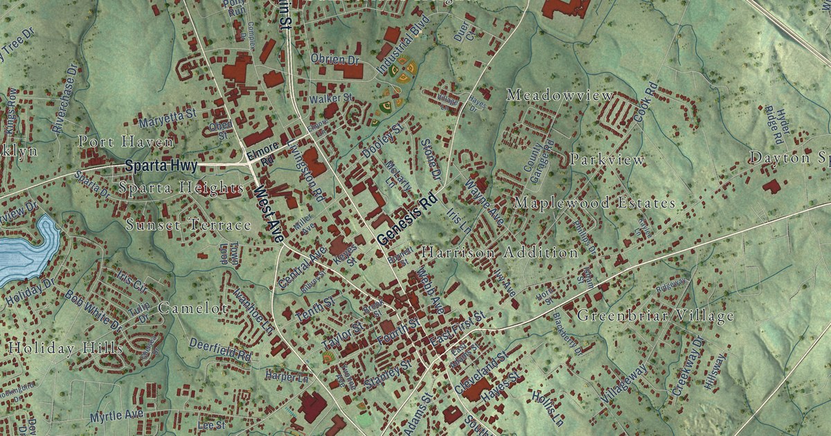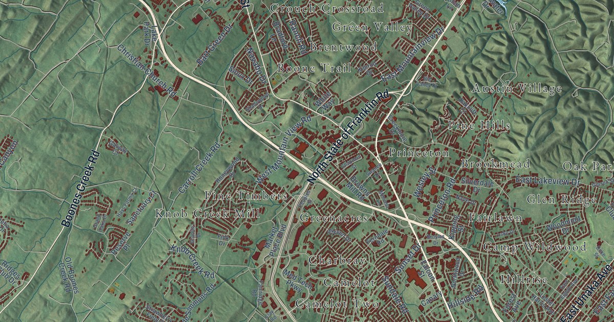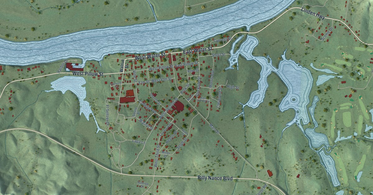
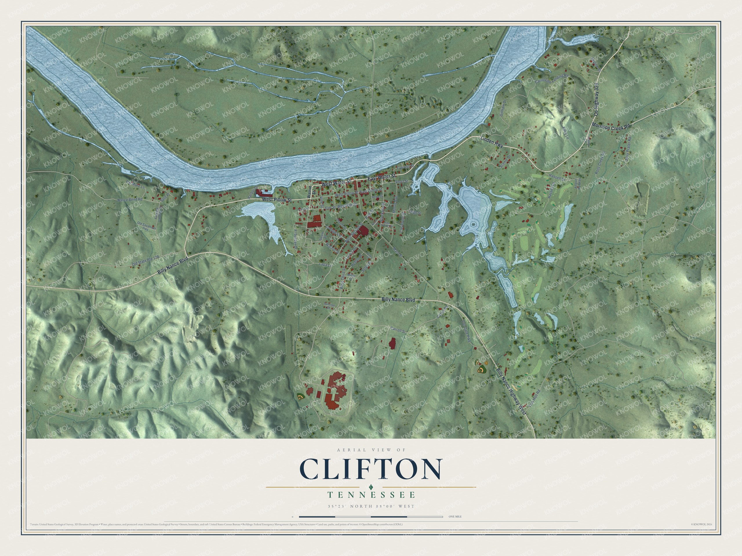
This beautifully detailed map of Clifton, Tennessee was created in 2026 using aerial imagery combined with modern topographical, census, street and landmark data. It's a modern aerial view of Clifton in Wayne County, Tennessee, that combines modern data with a vintage aesthetic. The roads feature printed names, and if you look closely you can find your exact house accurately shown in its correct location.
Explore an aerial view of Clifton, Tennessee
On this map you'll find Linden Highway, East Water Street, West Water Street, Co Highway 329, Billy Nance Boulevard, West Pillow Street, Billy Nance Highway West, Morrison Creek Road, West Third Street, West Second Street, Vine Street, Carroll Street, and more. Each red shape is a building, so zoom in on the preview and look for yours.
Clifton has a story worth telling. The record at tennesseeencyclopedia.net puts it this way: "Since 1990, Clifton’s growth has been revived with the establishment of Mousetail Landing State Park to the north, the construction of a new bridge spanning the Tennessee River, the institution of a branch campus of Columbia State Community College, and the erection of a large state prison facility."
Clifton is a city in Wayne County. The Census Bureau counted 2,651 people here in 2020.
Take a closer look at the Clifton map
Names on this map
These names are printed on this map.
Streets and roads: Linden Highway, East Water Street, West Water Street, County Highway 329, Billy Nance Boulevard, West Pillow Street, Billy Nance Highway West, Morrison Creek Road, West Third Street, West Second Street, Vine Street, Carroll Street.
More street names, A to Z
Airport Runway, Boyd Street, Carrol Road, Carrolville Landing Road, Church Street, Cleveland Street, College Avenue, Cypress Street, Dever Street, East Pillow Street, East Second Street, Elm Street, Fl Seltzer Drive, Forrest Avenue, Furnace Landing Road, Gillham Drive, Harbor Drive, Hassell Drive, Hassell Lane, Helton Drive, High Street, Jerry Prater Road, Lapa Lane, Lesley Lane, Main Street, Miller Drive, Morris Avenue, Nance Bend Road, Neuce Street, Old Savannah Highway, Old State Route 128, Pat More Lane, Polk Street, Riley Lane, Riverwood Drive, Ross Creek Road, Scenic Drive, Selph Street, Seth Place, Short Street, Skyline Drive, Steele Street, Stockade Street, Sunrise Drive, Toll Gate Pike, Tom Holt Road, Walnut Street, West Elm Street.
Created by KNOWOL in 2026. The buildings are small red shapes, the roads carry their printed names, and shaded relief shows the shape of the land. The title panel reads "AERIAL VIEW OF CLIFTON TENNESSEE" with 35°23' NORTH 88°00' WEST.
It looks right in a kitchen, an office or a den, and it's a gift for anyone who grew up in Clifton or moved away. Open the preview and find your street. See sizes and frames for the Clifton map.