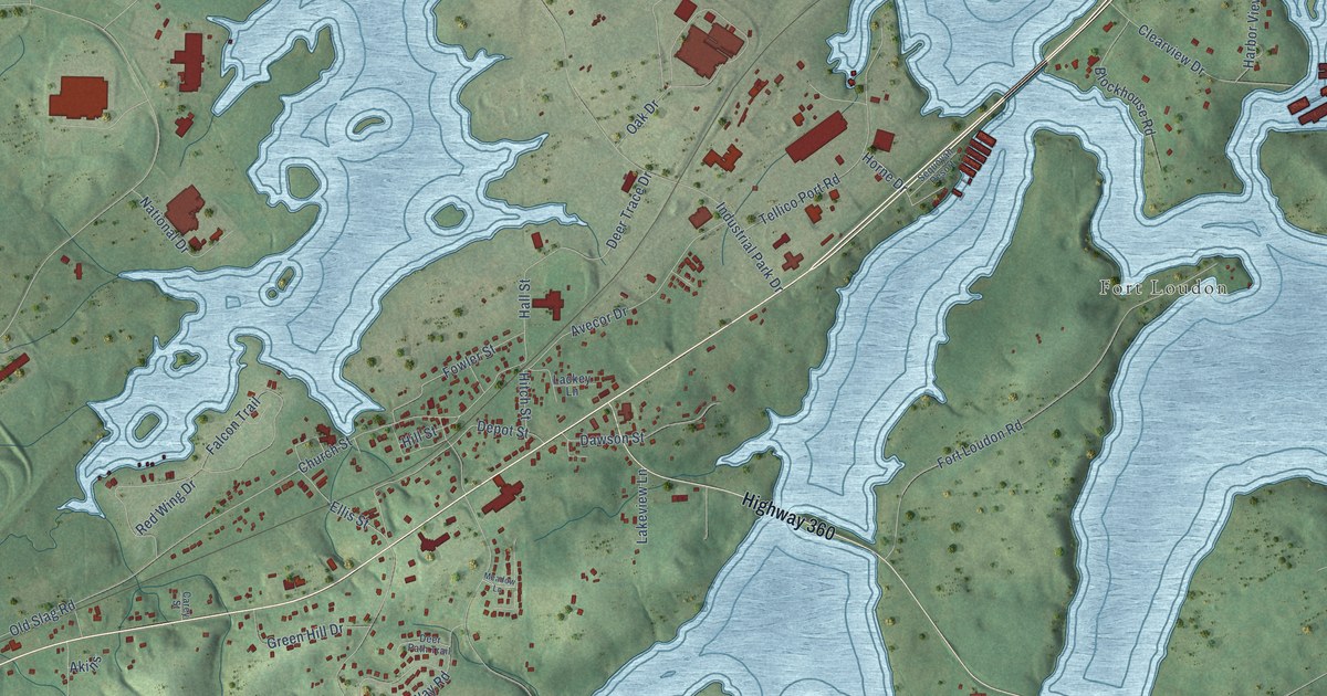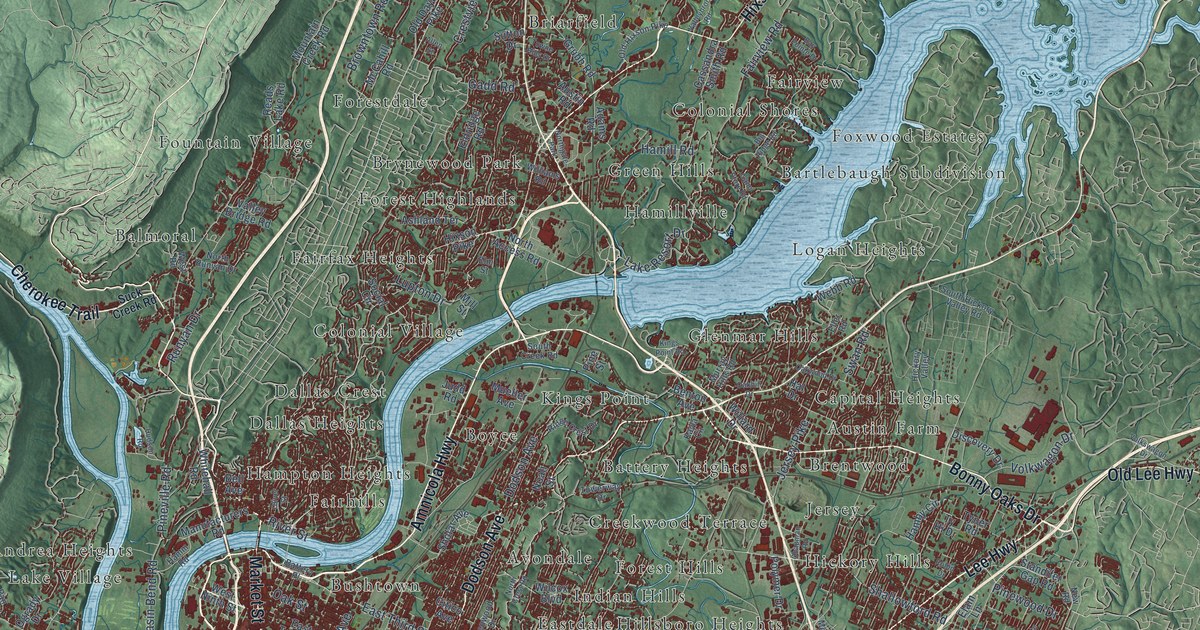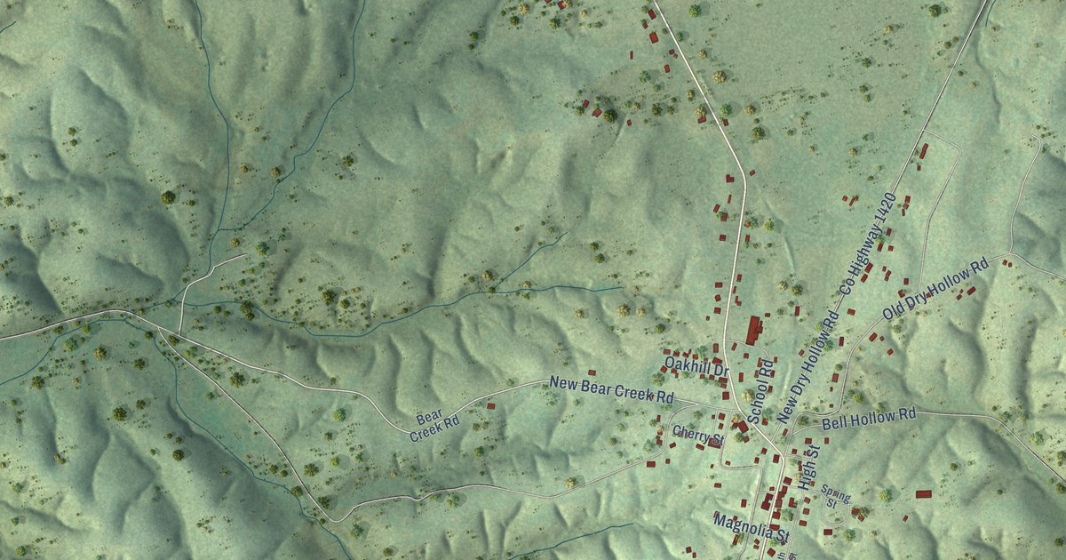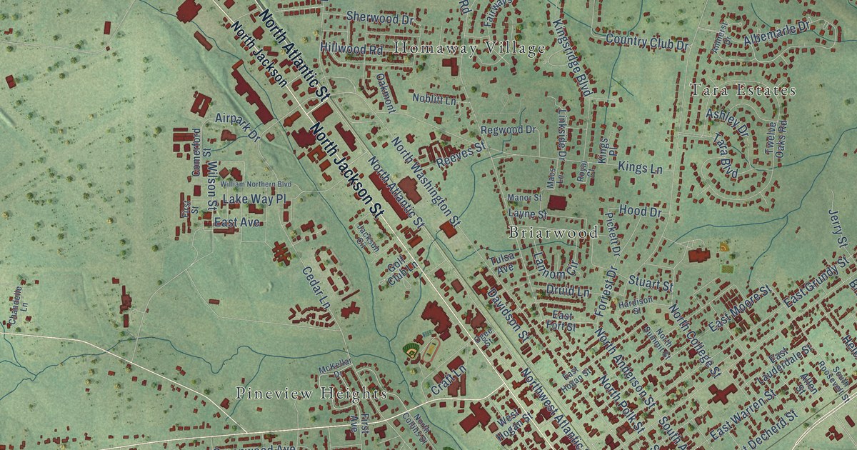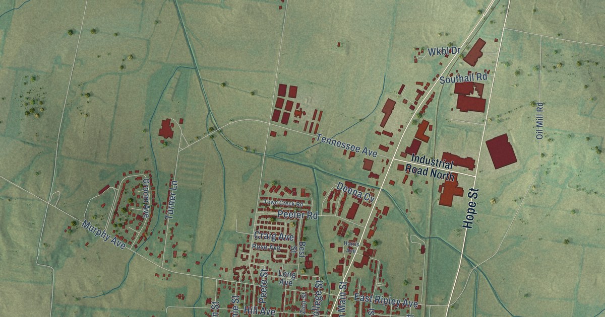
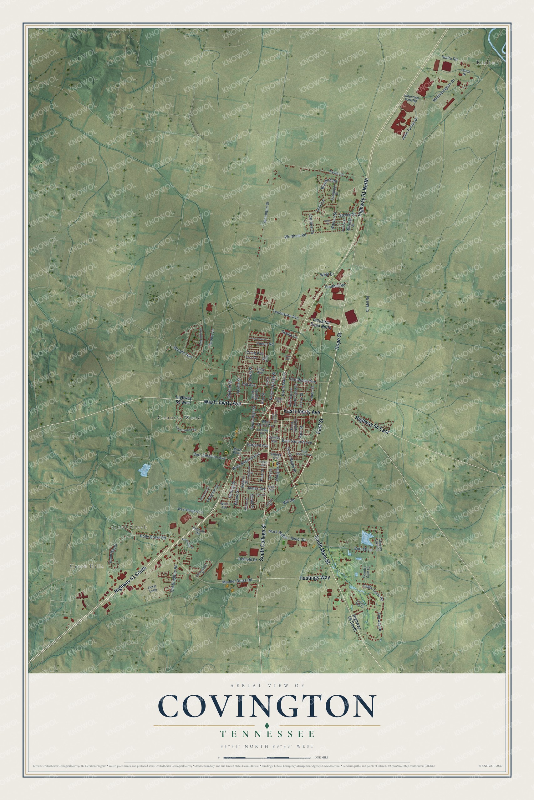
This beautifully detailed map of Covington, Tennessee was created in 2026 using aerial imagery combined with modern topographical, census, street and landmark data. It's a modern aerial view of Covington in Tipton County, Tennessee, that combines modern data with a vintage aesthetic. The roads feature printed names, and if you look closely you can find your exact house accurately shown in its correct location.
Explore an aerial view of Covington, Tennessee
On this map you'll find Green Hills, Quail Creek, Country Wood, Rialto, East Street, East Liberty Avenue, South College Street, West Liberty Avenue, Highway 51 South, South Main Street, Hope Street, Hastings Way, and more. Each red shape is a building, so zoom in on the preview and look for yours.
Here is a piece of Covington history, in the words of the record. The record at tennesseeencyclopedia.net puts it this way: "More important problems that affected the town’s future were Randolph’s failure to secure a railroad; financial depression; an unfavorable mail route; the continuation of the county seat at Covington despite an 1852 effort to have it moved to Randolph; and the failure to secure a proposed canal connecting the Tennessee and Hatchie rivers."
Covington is a city in Tipton County. The Census Bureau counted 8,663 people here in 2020.
Take a closer look at the Covington map
Names on this map
These names are printed on this map.
Places: Green Hills, Quail Creek, Country Wood and Rialto.
Streets and roads: East Street, East Liberty Avenue, South College Street, West Liberty Avenue, Highway 51 South, South Main Street, Hope Street, Hastings Way, Highway 51 North, Highway 54 East, Mueller Brass Road, Fairway Drive.
More street names, A to Z
Andrew Street, Bert Johnston Avenue, Best Street, Bluebird Road, Boals Avenue, Burnett Lane, Cardinal Drive, Carr Avenue, Coral Loop, Cotton Bay Cv, Cottonwood Place, Country Club Lane, Country Lake Drive, Countrywood Road, Craig Avenue, Crestview Street, Deena Cv, Delfield Drive, Douglas Street, Eagle Trace Road, East Ripley Avenue, East Sanford Avenue, East Sherrod Avenue, Elm Street, Ervin Lane, Evergreen Street, Feezer Street, Fisher Avenue, Garland Avenue, Gillespie Drive, Groom Avenue, Harris Avenue, Haynie Street, Herring Drive, Highway 59 South, Highway 59 West, Hill Avenue, Holly Grove Road, Holmes Avenue, Industrial Park Road, Industrial Road North, James Avenue, Jetton Drive, John Turner Drive, Kimbrough Drive, Kinney Avenue, Long Avenue, Loon Lane, Mark Walker Junior Drive, Michael Street, Mill Road, Moss Parkway, Murphy Avenue, North College Street, North High Street, North Main Street, North Maple Street, North Tipton Street, Oil Mill Road, Old Brighton Road, Park Street, Peeler Road, Peete Street, Pinecrest Street, Pine Street, Rialto Road, Roane Street, Robbins Road, Rose Avenue, Russwood Drive, Sandpiper Drive, Scott Street, Seminary Avenue, Shelton Street, Shoaf Street, Simonton Street, Southall Road, South High Street, South Maple Street, South Munford Street, South Tipton Street, Steven Street, Tennessee Avenue, Town Creek Road, Troy Street, Turner Lane, Union Street, Valley Avenue, Walters Street, West Burgess Lane, West Church Avenue, West Sherrod Avenue, Whitherington Drive, Whitley Street, Winn Avenue, Wkbl Drive, Wooten Street, Wortham Road, Zion Street.
Created by KNOWOL in 2026. The buildings are small red shapes, the roads carry their printed names, and shaded relief shows the shape of the land. The title panel reads "AERIAL VIEW OF COVINGTON TENNESSEE" with 35°34' NORTH 89°39' WEST.
It suits a den, a classroom or a front hall, and it makes a gift for anyone with Covington roots. Open the preview and find the block you know. See sizes and frames for the Covington map.